JA/AC-017
Original: Ryota / JJ1WTL — 500636648 · Original Japanese HTML
Published: 2023-09-06
English translation of the archived article text. The author’s first-person observations, uncertainty and later additions are preserved; this is not the research summary. Image contents are preserved as images, not silently incorporated into the translated prose.
Mount Hongu. Combining the trip with a search for JOSADA TELECOM’s microwave route west of Chubu Electric Power Grid’s Shiroyama Radio Relay Station in Shinshiro City.
Conclusion: JOSADA TELECOM route map
For JOSADA TELECOM, ‘a proven provider of ultra-low-latency private wireless bandwidth and microwave market data’, I identify the hop after Shiroyama as an installation piggybacking on NTT Docomo's Tsukude Radio Relay Station at Mount Hongu. Click to enlarge, 1.2 MB.

JOSADA TELECOM in Radio Station Information Search: eleven stations in total. https://www.tele.soumu.go.jp/musen/SearchServlet?SC=1&pageID=3&SelectID=5&CONFIRM=0&OW=FX+0&HZ=3&NA=1010401114875&SK=2&DC=100#result
To the site
Sunday, September 3. Shinshiro 5:25 → Nagayama 5:35. Leaving Maruto Ryokan.
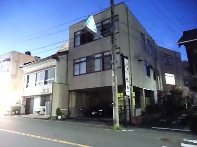
To Shinshiro Station via a convenience store.
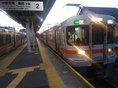
Travelling on the first train.
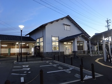
Arrived at Nagayama Station.
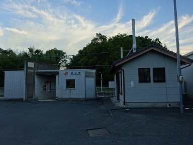
Has the stationmaster just finished the night shift?
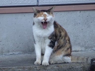
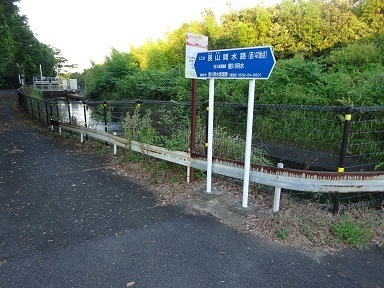
Here is the Toyokawa irrigation canal I learned about in textbooks. Crossing it.
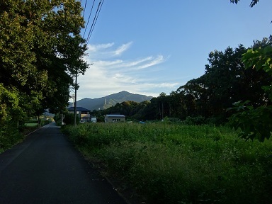
Just walking and walking… No radio towers visible on the mountain.
The summit
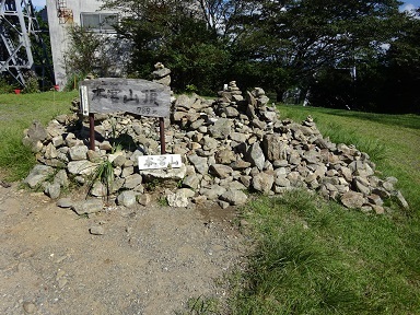
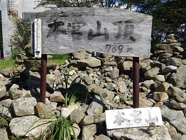
After a little detour, described below, I reached the summit at 8:58. 789 m.
Close-up.
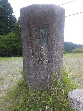
A triangulation point behind it.
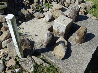
The astronomical observation point I had heard about.
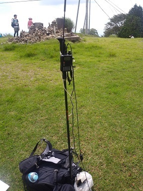
Back from another detour, a two-hour round trip described below, and on the air. Ten contacts… Fewer callers than expected. I thought I would get more, since Nagoya should be visible… But none from Nagoya City. Operating 11:59–12:26.
Descent and journey home
Back down. Nagayama 15:24 → Toyohashi 15:46 / 16:09 → Kodama 734 → Shinagawa 18:11 → Tamachi. Nagayama.
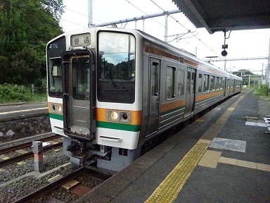
Toyohashi. Later, from Odawara, the train filled with what seemed to be inbound tourists.
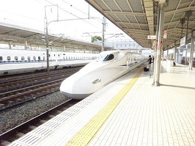
After being drawn into the Ippudo inside the station, leaving Shinagawa. Home at 19:00.
Expenses
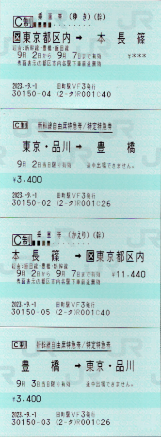
¥11,440 — JR round-trip basic fare, Tokyo wards ↔ Hon-Nagashino. ¥3,400 — JR Shinkansen unreserved seat, Shinagawa → Toyohashi. ¥3,400 — JR Shinkansen unreserved seat, Toyohashi → Shinagawa. ¥330 — JR limited-express unreserved-seat supplement, Hon-Nagashino → Shinshiro. ¥200 — Shinshiro municipal bus, Hon-Nagashino Station → Tazawa. ¥200 — Shinshiro municipal bus, Tazawa → Hon-Nagashino Station. ¥4,400 — Maruto Ryokan. ――――――――――――――――――――― ¥23,370 total. Eighteen QSOs over two days, so ¥1,298 per station.
Touring the transmitting towers
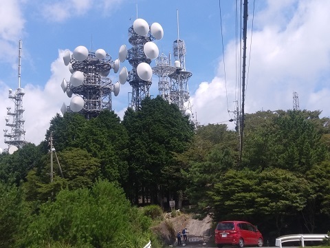
As befits Mount Hongu, this is a very long account: items 1–16 below. Sorry! First, an overall feel for the summit area at the centre of it all.
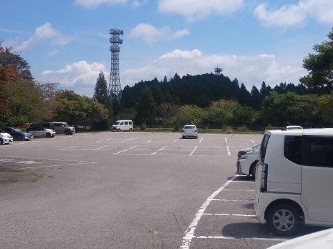
Plus two towers on the southeastern slopes.
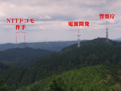
Looking towards the northern foothills from the summit. There are scattered sites there too. I walked out and back to NTT Docomo Tsukude… About 3 km each way.
Incidentally, the summit area appears masked in the satellite imagery on Google's .com site: https://www.google.com/maps/@34.909724,137.4205315,724m/data=!3m1!1e3 There should not be any sinister-looking facilities on the actual summit that need hiding… There is no masking on Google's .co.jp site. https://www.google.co.jp/maps/@34.909724,137.4205315,848m/data=!3m1!1e3
A map summary. Click to enlarge, 669 KB. [Corrected September 7 and September 13.]

Below, I work from the north, then cover the summit area. From the north:
- NTT Docomo Tsukude Radio Relay Station.
- The asterisk on the map.
- National Police Agency Hongusan Relay Station.
- J-Power Nukata Relay Station.
- Japan Coast Guard, Fourth Regional Headquarters, Hongu Relay Station.
- Mobile Radio Center Mikawa North Control Station.
- Chubu Electric Power Grid Hongu Radio Relay Station.
- Ministry of Defense, Ground Self-Defense Force, Hongusan Radio Relay Station.
Summit area:
- NHK main-station receiving facility.
- CBC, Tokai Television, Nagoya TV/Me-Tele and CTV.
- Aichi Prefecture Hongusan Radio Relay Station.
- Japan Telecom, now SoftBank, Hongusan Radio Relay Station.
- NHK-FM, FM Aichi and ZIP-FM.
- MLIT Hongu Radio Relay Station.
- NHK Television and TVA.
- NTT Docomo Hongusan Radio Relay Station.
Most microwave link directions are inferred. See also ‘Touring transmitting towers: Okazaki City, Aichi Prefecture—Mount Hongu’: http://mitearuki.sakura.ne.jp/tower/21-aichi/honguusan.html
(1) NTT Docomo Tsukude Radio Relay Station
I walked 3 km from the summit. Location: https://www.google.co.jp/maps/@34.9284575,137.4114121,53m/data=!3m1!1e3 There are two structures. On the top platform of the newer, lower, southeastern tower at the right of the photograph are long-bodied dishes that I think belong to JOSADA TELECOM.
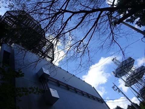
This tower.
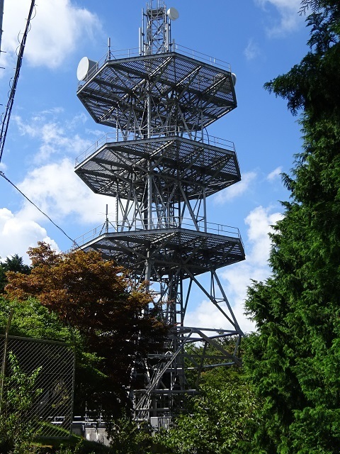
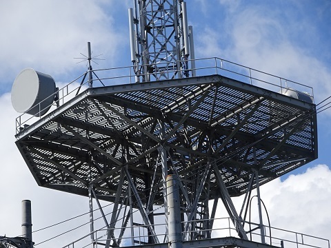
These on the top platform ↓:
- Left in the photograph: eastward, towards Shiroyama.
- Right: westward, towards Yokkaichi.
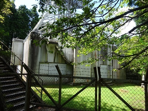
JOSADA TELECOM's equipment is probably inside this building.
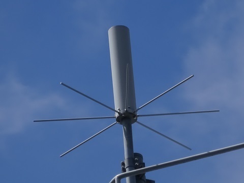
Is this at the tower top an access link for a mobile-phone base station?
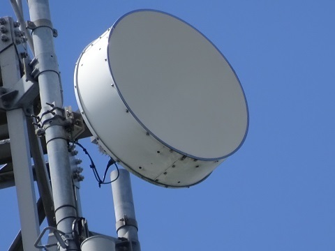
The antennas on the top platform.
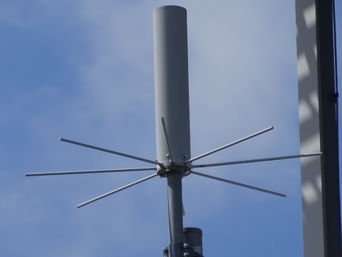
And on the bottom platform.
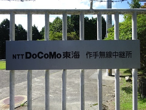
The nameplate. 作手 is read Tsukude.
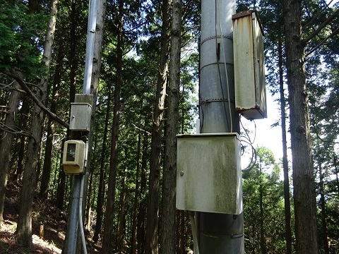
(2) The asterisk on the map
A mystery. Location: https://www.google.co.jp/maps/@34.9270332,137.4113923,53m/data=!3m1!1e3 I found it beside the hiking trail while taking a shortcut to NTT Docomo Tsukude.
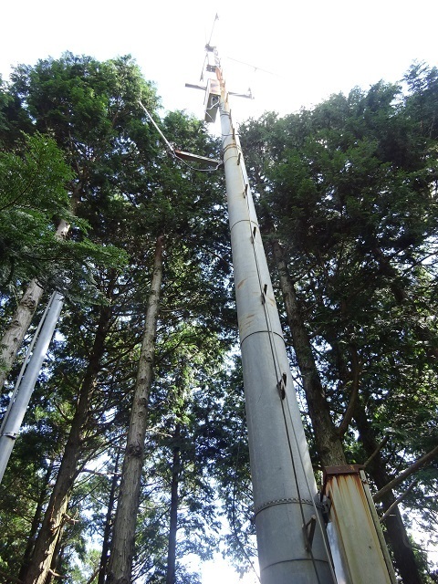
The upper section.
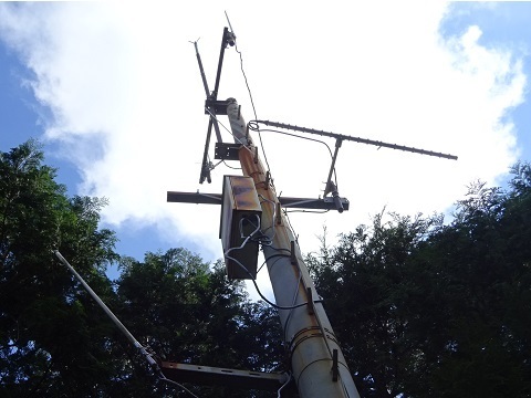
The lower section and equipment.
(3) National Police Agency Hongusan Relay Station
Location: https://www.google.co.jp/maps/@34.9198535,137.4183318,53m/data=!3m1!1e3 An approach that amounts to ‘I was walking along the hiking trail and happened to emerge here’ would be best.
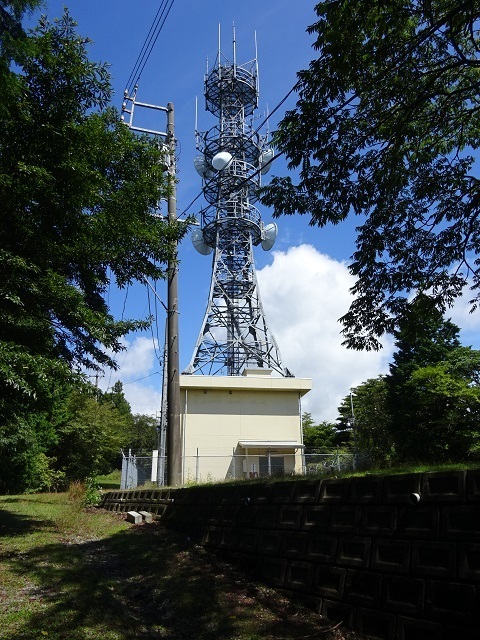
The station building: no nameplate, and well guarded. At the same time, the surrounding grounds are exceptionally well kept, with impressive vegetation clearance.
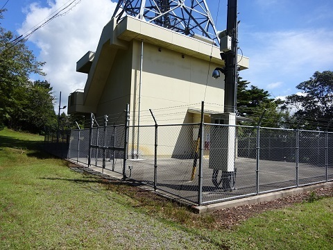
The tower.
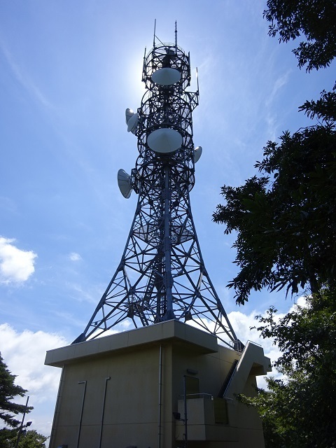
See ‘National Police Agency / Aichi Prefectural Police—Hongusan Relay Station’: http://www.kouiki.com/musen2/keisatu/aichi/honguu081223/honguu.html
(4) J-Power Nukata Relay Station
Location and Radio Station Information Search: https://www.google.co.jp/maps/@34.918143,137.418036,40m/data=!3m1!1e3 https://www.tele.soumu.go.jp/musen/SearchServlet?pageID=4&IT=C&DFCD=0001369216ⅅ=1&styleNumber=21 Counterparts:
- Lower left/northeast: Mount Ryuto.
https://www.google.co.jp/maps/@35.0690277,137.8821582,40m/data=!3m1!1e3
- Downward on the far side/southeast: Kasahara Relay Station.
https://www.google.com/maps/@34.7332156,138.0057452,40m/data=!3m1!1e3
- Upper right/southwest: Atsumi Relay Station.
https://www.google.co.jp/maps/@34.6003744,137.1455313,645m/data=!3m2!1e3
- Slightly left of directly towards us/northwest: Chubu branch office.
https://www.google.co.jp/maps/@35.2646048,136.9958678,40m/data=!3m1!1e3
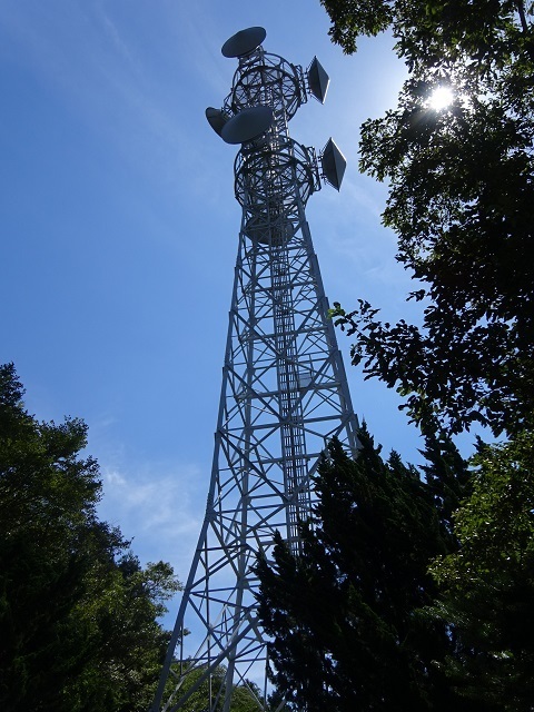
From behind, the north side.
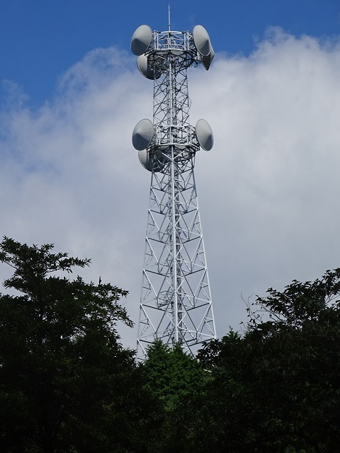
The station building. No nameplate.
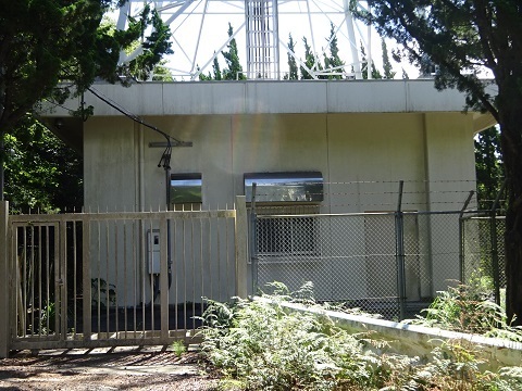
Route map for Aichi Prefecture: https://jj1wtl.seesaa.net/article/202107article_13.html Route map for Shizuoka Prefecture: https://jj1wtl.seesaa.net/article/202108article_1.html
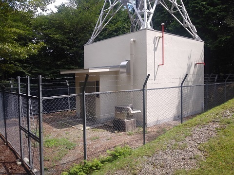
(5) Japan Coast Guard, Fourth Regional Headquarters: Hongu Relay Station
Standing by itself, apart from the others. I suspect it is not visible from the summit. https://www.google.co.jp/maps/@34.911106,137.4182965,53m/data=!3m1!1e3 Stepping over the guardrail onto the access road.
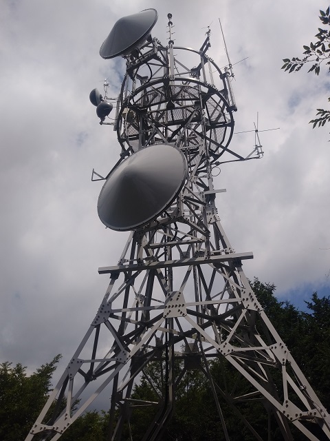
The station building.
A nameplate identifies the owner.
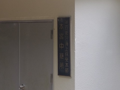
(6) Mobile Radio Center Mikawa North Control Station
Across Hongusan Skyline, on the southeastern slopes. Location: https://www.google.co.jp/maps/@34.9084956,137.4182242,53m/data=!3m1!1e3 No nameplate. The Google Maps label ‘NTT West Hongusan Telephone Exchange’ was incorrect.
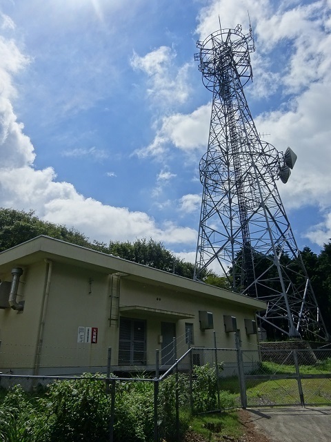
See ‘Mikawa North Relay Station service-area map’: https://www.mrc.or.jp/Portals/0/images/area/area_Tokai_Mikawakita.pdf Counterparts, from the radio-path protection-zone map. Perhaps leased to another operator:
- Upper right/north: a reflector in Gero City.
https://www.google.co.jp/maps/@35.9545871,137.1645332,52m/data=!3m1!1e3
- Right/west: Toho Gas Nisshin office.
https://www.google.co.jp/maps/@35.1192803,137.0246154,53m/data=!3m1!1e3
There is also the former NTT West No. 2 Hongusan Radio Relay Station on the northwestern slopes, but I did not visit. Satellite imagery clearly shows that the tower has been dismantled and only the building remains. Location: https://www.google.co.jp/maps/@34.9090896,137.4123674,138m/data=!3m1!1e3
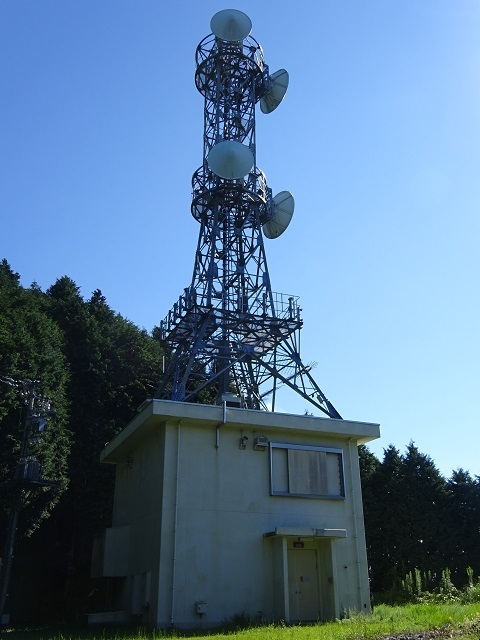
(7) Chubu Electric Power Grid Hongu Radio Relay Station
This is the second facility that comes into view from the hiking trail. https://www.google.co.jp/maps/@34.9082519,137.4221277,40m/data=!3m1!1e3 https://www.tele.soumu.go.jp/musen/SearchServlet?pageID=4&IT=C&DFCD=0000009351ⅅ=1&styleNumber=21 Overall view.
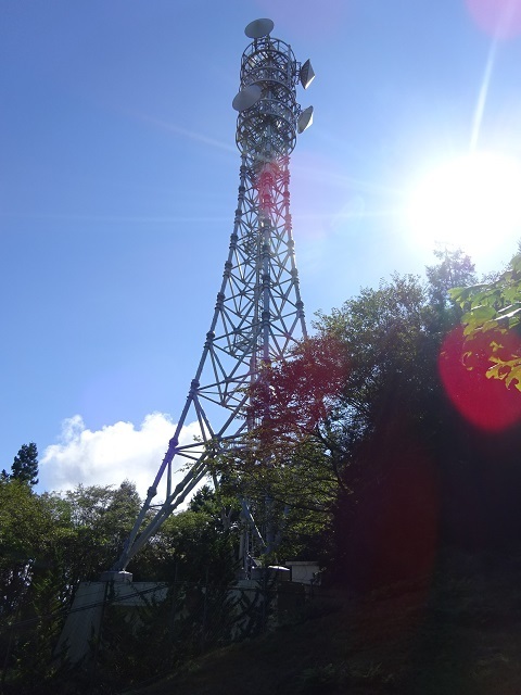
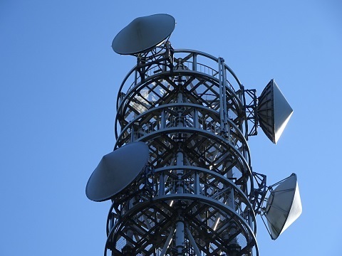
Close-up. Counterparts:
- Behind/east: Shiroyama.
https://www.google.co.jp/maps/@34.9184822,137.645402,40m/data=!3m1!1e3
- Lower right/southeast, lower platform: Mikawa Substation.
https://www.google.co.jp/maps/@34.8440523,137.4699723,40m/data=!3m1!1e3
- Right/south, upper platform: Toyohashi Power Center.
https://www.google.co.jp/maps/@34.8032715,137.441516,40m/data=!3m1!1e3
- Up/west, upper platform: Okazaki branch.
https://www.google.com/maps/@34.938679,137.1622768,40m/data=!3m1!1e3
- Upper left/northwest, lower platform: a reflector,
https://www.google.co.jp/maps/@34.957933,137.2734281,40m/data=!3m1!1e3 then Nukata Switching Station. https://www.google.co.jp/maps/@34.9628255,137.2776559,40m/data=!3m1!1e3
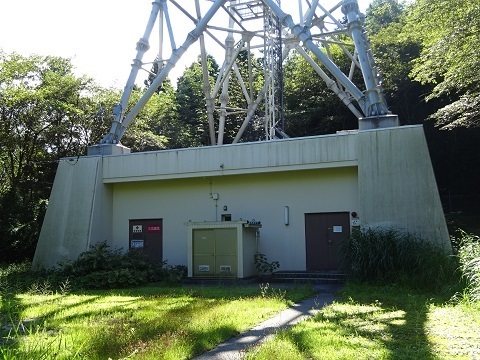
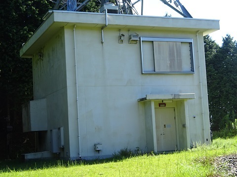
The station building has the same diagonally cut shape as Shiroyama's.
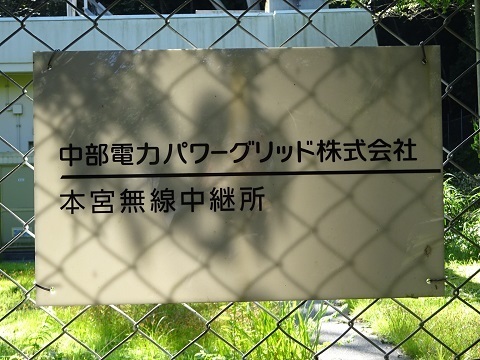
The nameplate includes the company name here.
Aichi Prefecture route map: https://jj1wtl.seesaa.net/article/202107article_13.html
(8) Ministry of Defense / Ground Self-Defense Force Hongusan Radio Relay Station
This is the first to come into view from the hiking trail. https://www.google.co.jp/maps/@34.9076357,137.4224293,53m/data=!3m1!1e3 Counterparts:
- Lower right/southeast: Hamamatsu Air Base.
https://www.google.co.jp/maps/@34.7570825,137.6931602,53m/data=!3m1!1e3
- Towards us/southwest: Miyajiyama Radio Relay Station.
https://www.google.co.jp/maps/@34.8529373,137.2752824,53m/data=!3m1!1e3
The building.
(9) NHK main-station receiving facility
Location: https://www.google.co.jp/maps/@34.9107642,137.4204766,53m/data=!3m1!1e3 Photographed looking up from Hongusan Skyline.
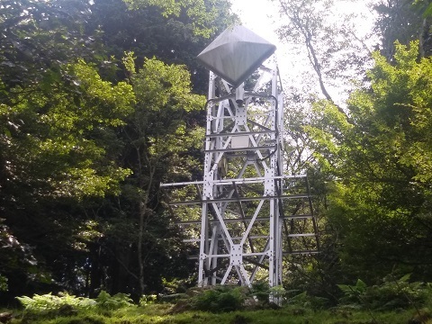
It seems to point towards Seto Digital Tower rather than NHK Nagoya. But that would not agree with Radio Station Information Search.
Reception of the broadcast signal transmitted by Seto Digital Tower.
Two systems, main and standby. There are also examples at item 13 below. The ones at 13, from two directions:
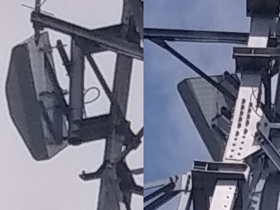
(10) CBC, Tokai Television, Me-Tele and CTV
Location: https://www.google.co.jp/maps/@34.9103527,137.4197962,53m/data=!3m1!1e3
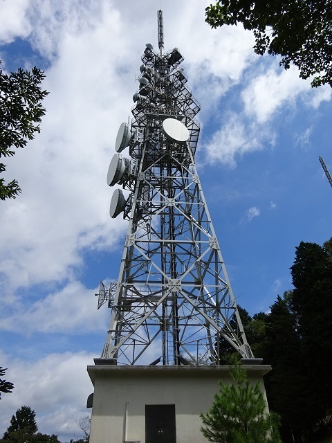
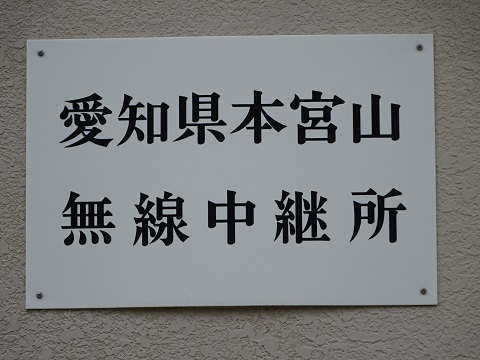
(11) Aichi Prefecture Hongusan Radio Relay Station
Location: https://www.google.co.jp/maps/@34.9095261,137.4195174,53m/data=!3m1!1e3! You do not often see a tower loaded this heavily.
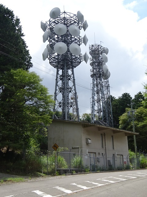
The northern tower.
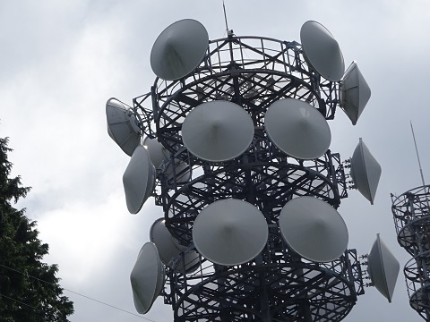
The southern tower.
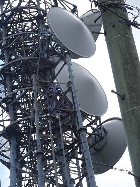
A nameplate.
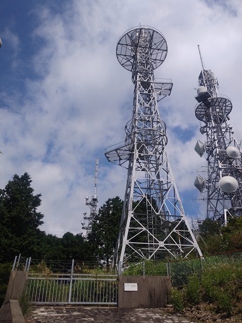
(12) Japan Telecom, now SoftBank, Hongusan Radio Relay Station
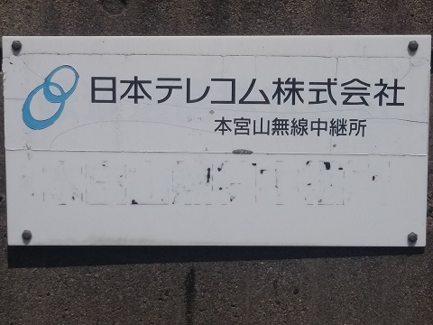
From here, ascending eastwards along the maintenance road towards the summit. Location: https://www.google.co.jp/maps/@34.9095795,137.4198275,53m/data=!3m1!1e3 The station building has been demolished; the tower remains.
A nameplate.
(13) NHK-FM, FM Aichi and ZIP-FM
Location: https://www.google.co.jp/maps/@34.9097582,137.4201393,53m/data=!3m1!1e3 The former analogue NHK television service transmitted from here.
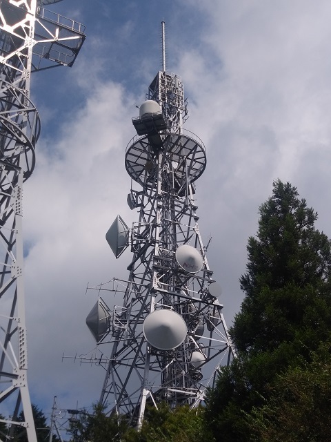
(14) MLIT Hongu Radio Relay Station
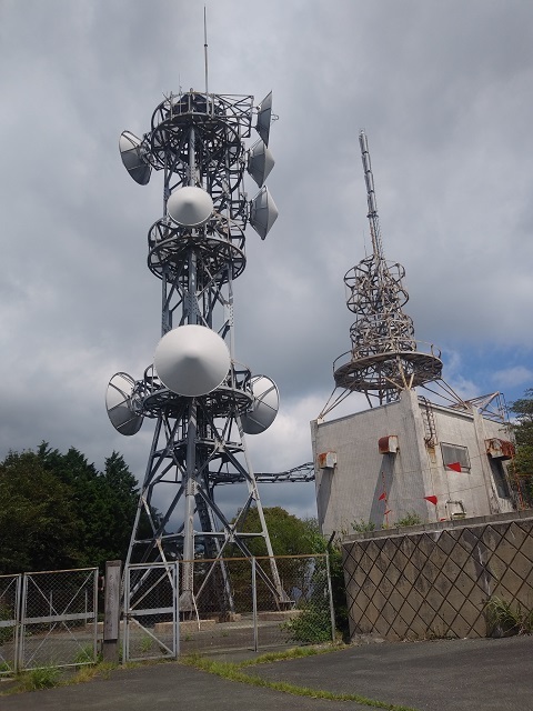
Marked on Google Maps. Location: https://www.google.co.jp/maps/@34.9099413,137.4203345,53m/data=!3m1!1e3 The tower on the building at the right seems unused. In the photograph, the top of the NHK Television/TVA tower behind overlaps it. Counterparts—some are guesses:
- Lower platform, back right/northeast: ?
- Upper platform, uncovered dish pointing right/east: Shinshiro office of the Shitara Dam Construction Office.
https://www.google.co.jp/maps/@34.9006031,137.4885409,53m/data=!3m1!1e3
- Covered dish pointing right/east: Awagatake Radio Relay Station, trunk route.
https://www.google.co.jp/maps/@34.8568422,138.0702396,53m/data=!3m1!1e3
- Large dish towards us/south: Toyohashi River Office.
https://www.google.co.jp/maps/@34.735457,137.375682,53m/data=!3m1!1e3
- Small dish towards us/south: Toyokawa branch of the Toyohashi River Office.
https://www.google.co.jp/maps/@34.7763425,137.378699,53m/data=!3m1!1e3
- Back left/west: Shonai River Office, ‘Nagoya North’, trunk route.
https://www.google.co.jp/maps/@35.2129415,136.9009546,53m/data=!3m1!1e3
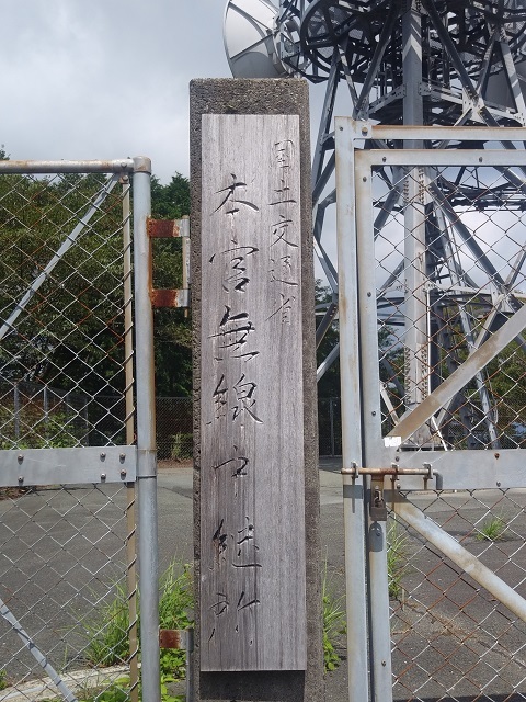
A nameplate.
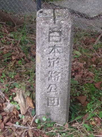
Does this ↓ mean it was originally a public corporation's facility?
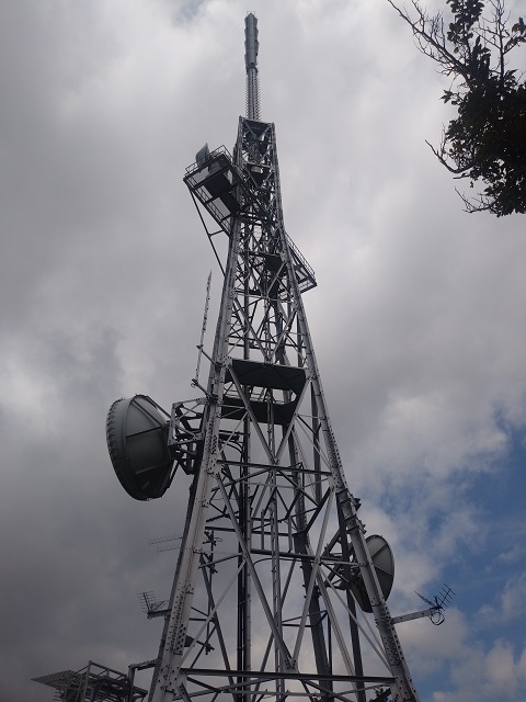
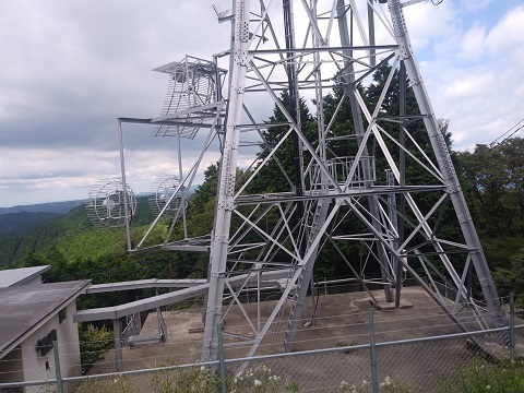
(15) NHK Television and TVA
Location: https://www.google.co.jp/maps/@34.9101912,137.4205272,53m/data=!3m1!1e3 Upper section.
Lower section.
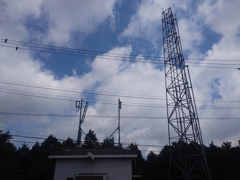
(16) NTT Docomo Hongusan Radio Relay Station
Location, at the eastern end of the summit area: https://www.google.co.jp/maps/@34.9098652,137.4207747,53m/data=!3m1!1e3 There seems to be a mobile-phone base station on the roof. The tower remains in place.
A nameplate.