The Minamihara log-periodic
Original: Ryota / JJ1WTL — 501355072 · Original Japanese HTML
Published: 2023-11-06T22:40:00+09:00
English translation of the archived article text. The author’s first-person observations, uncertainty and later additions are preserved; this is not the research summary. Image contents are preserved as images, not silently incorporated into the translated prose.
Near Minamihara Station in Minamiboso City, in the Wada-cho Kaihotsu cadastral area.
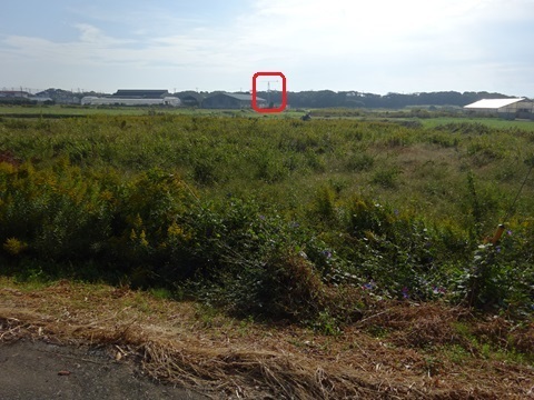
While investigating microwaves, I noticed it from 780 metres away.
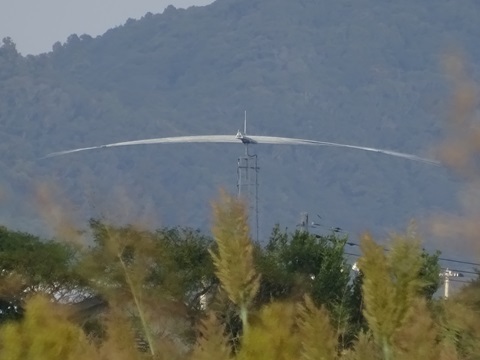
It intrigued me, so I returned to the site after one intervening day.
To the site
Sunday, November 5.
Tamachi 4:52 → Tokyo 5:01 / 5:21 → Kisarazu 6:40 / 6:47 → Minamihara 8:20.
Leaving Tamachi.
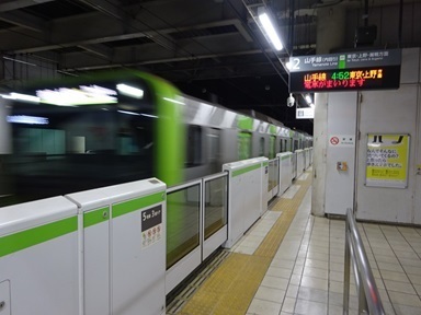
Changing at Tokyo for Kimitsu.
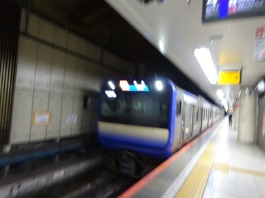
Changing at Kisarazu for Awa-Kamogawa.
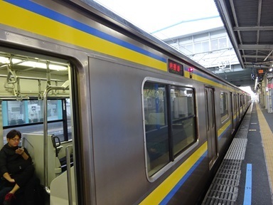
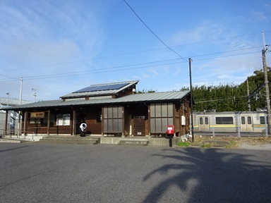
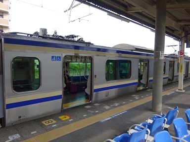
Arriving at Minamihara. The train I came on is still waiting for an opposing train to pass.
Now then.
The ‘+’ is the destination;
「
the circle is the SoftBank Maruyama International Relay Station [annotations added to a GSI map].
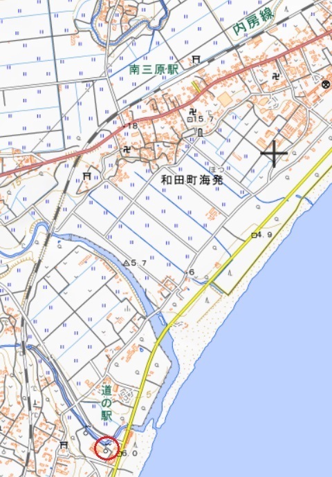
From Minamihara Station, I pass through the temple symbol in the centre of the map above—Jishoin—and approach.
There it is.
Observations
The land has been tidied up… compared with the Street View image.
There is no nameplate.
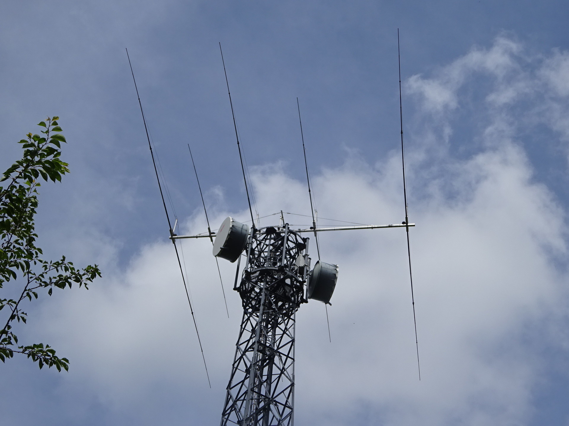
Fourteen elements. A variant of the CLP430R, perhaps? Click to enlarge.
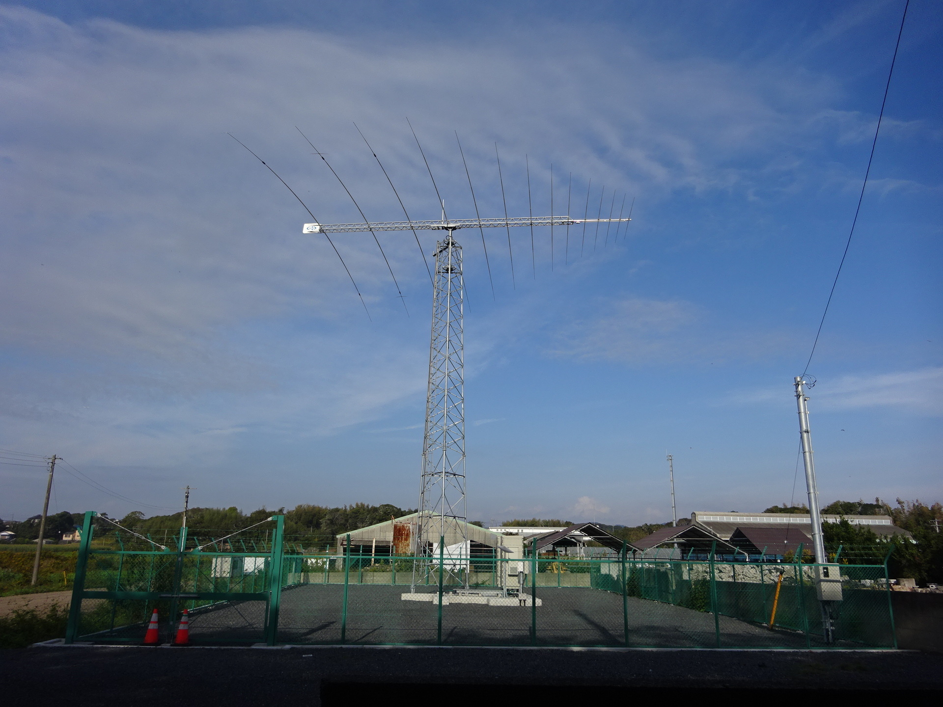
More nearly from the front (click to enlarge).
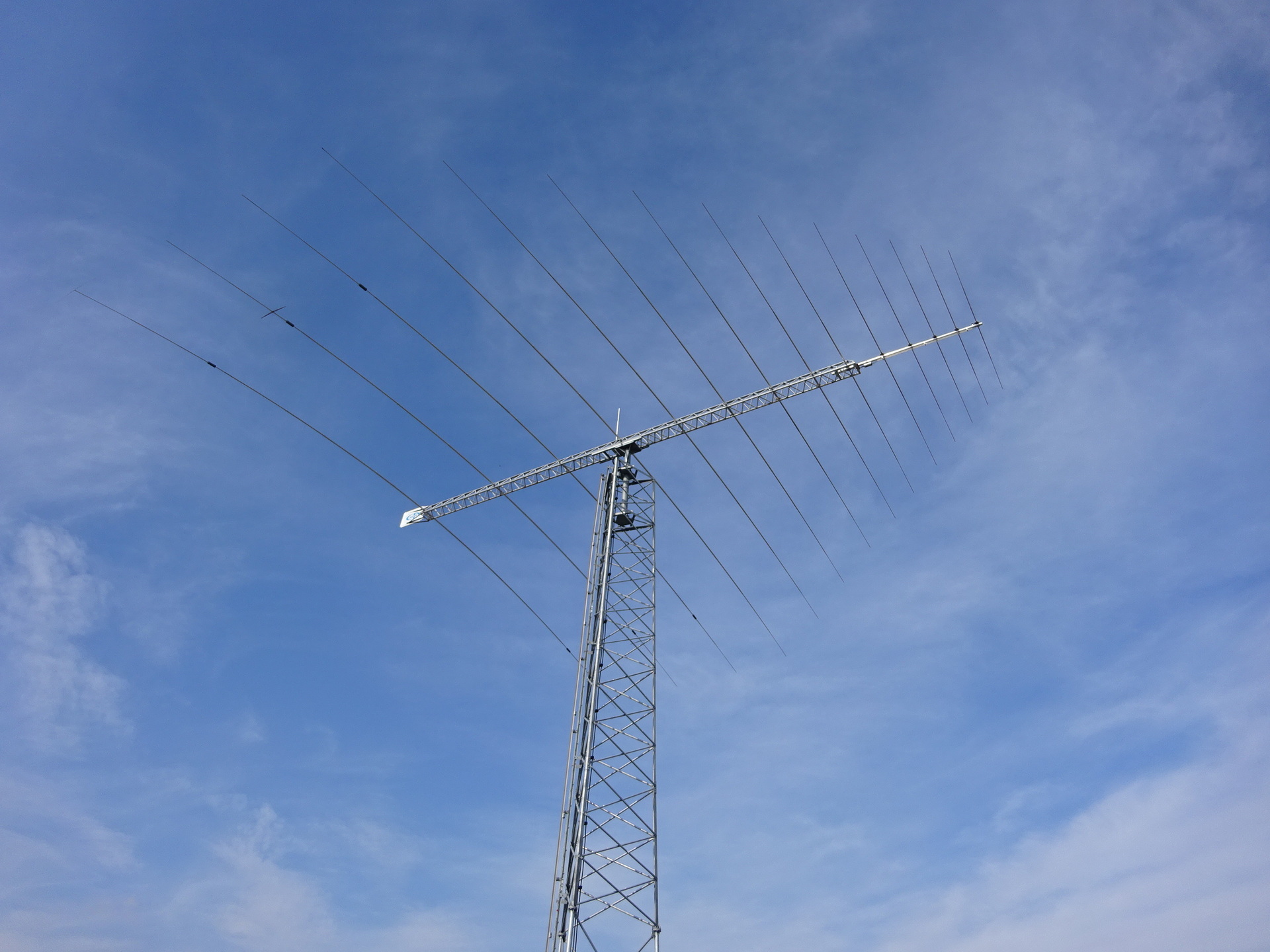
Estimating the beam direction from directly behind.
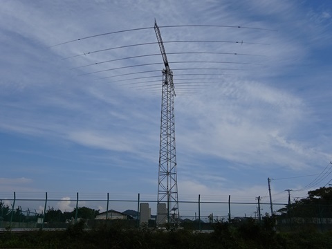
Photographed along the northwestern (left-hand) face of the triangular tower.
You can see that the antenna points farther to the right than that face (diagram below).
Probably toward the Caribbean
Chicago.
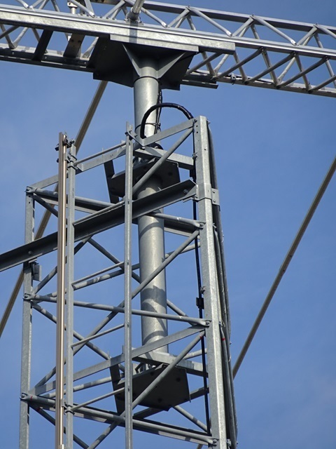
Close-ups of the parts
The mast. Apparently they do not intend to rotate it around.
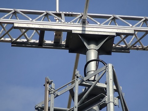
The mounting arrangement.
The logo on the tail-fin section.

At the base
The base section.
No clue to the owner here either.
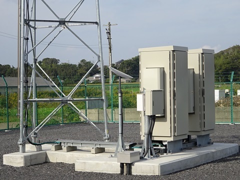
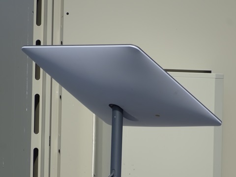
This is Starlink. Very up-to-date.
Come to think of it, there was neither an incoming telephone line nor a cellular antenna.
For loading-coil/capacitor enthusiasts
They are fitted to the three elements nearest the rear—the lower left of the photograph.
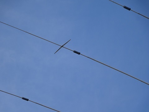
A close-up of the rearmost one as an example.
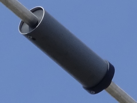
Loading capacitors (capacitor rods).
(Amateurs commonly call these ‘capacity hats’, but strictly speaking isn't that only when they are attached to the ends of the elements?)
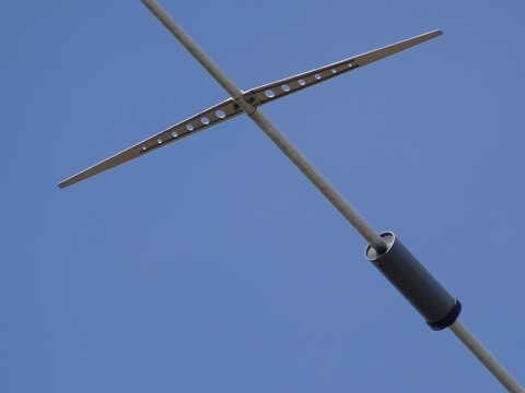
Who are you, then?
Unidentified. → It turned out to be DRW-NX Japan GK—in other words, NuVo Networks K.K.
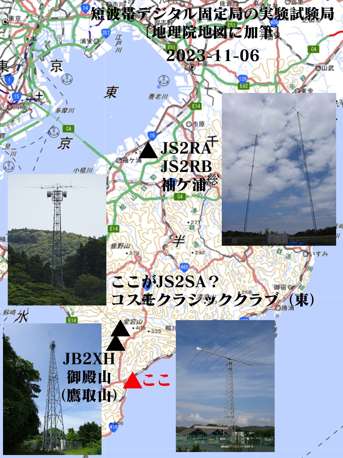
The relative positions together (click to enlarge).
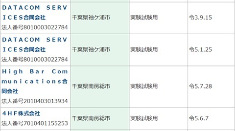
From the Radio Station Information Search
Searching for experimental stations at 30 MHz and below gives 33 results in all.
(For ‘fixed stations’, there are no matches in Minamiboso City.)
The four stations below are the central ones.
To state the obvious:
(a) If this is a receive installation, it will not appear in the Radio Station Information Search.
(b) It might have nothing to do with HF digital fixed stations.
(1)(2) Does it belong to DATACOM SERVICES?
Those are in Sodegaura City, so clearly not: we are in Minamiboso City.
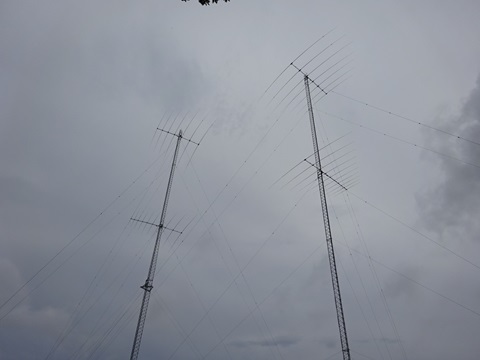
The familiar JS2RA and JS2RB.
https://www.tele.soumu.go.jp/musen/SearchServlet?pageID=4&IT=A&DFCD=0004295380&DD=1&styleNumber=21
https://www.tele.soumu.go.jp/musen/SearchServlet?pageID=4&IT=A&DFCD=0004448132&DD=1&styleNumber=21
https://www.google.com/maps/@35.4465817,140.0196002,53m/data=!3m1!1e3
(3) Does it belong to High Bar Communications?
That would presumably be this antenna ↓ on the company's own tower—JB2XH at Gotenyama.
So that is not it either.
https://www.tele.soumu.go.jp/musen/SearchServlet?pageID=4&IT=A&DFCD=0004474981&DD=1&styleNumber=21
https://www.google.com/maps/@35.0819469,139.9448022,53m/data=!3m1!1e3
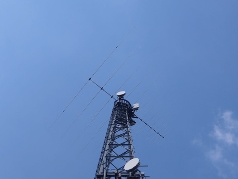
(4) Does it belong to 4HF?
Previously I tentatively identified it as the antenna piggybacking on JOSADA TELECOM's microwave tower.
Inside Cosmo Classic Club on Mount Atago.
https://www.tele.soumu.go.jp/musen/SearchServlet?pageID=4&IT=A&DFCD=0004464656&DD=1&styleNumber=21
https://www.google.com/maps/@35.1114752,139.9556255,53m/data=!3m1!1e3
One could instead suppose that identification ↑ was wrong and that this newly discovered installation belongs to 4HF—JS2SA.
But there are things that do not fit. The 4HF station's licence information says:
Correspondents: receiving equipment belonging to the licensee, near Chicago, USA; near London, UK; and in Singapore.
→ This log-periodic is fixed toward Chicago, so the destinations do not match.
Licence issued: June 7, 2023.
→ Street View photographed in August 2023 still shows construction in full swing, so the timing does not match.
From the draft minutes of the HF Digital Fixed Station Working Group
The following companies appear to be considering commercialization.
https://www.soumu.go.jp/main_content/000870390.pdf

It could be a new station belonging to one of the three companies that do not yet have an experimental-station licence:
-
Sora Communications
-
GT Technologies Japan
-
Nuvo Networks
From the land register (not yet investigated)
[Added November 7] It was ‘DRW-NX Japan GK’.
TNX TO JG4KGN FER UR INFO https://drw.com/drw-nx
There it is.
“The fastest network in the world.”
We have already been able to establish the relationship ‘NuVo Networks ≈ DRW’:
Company registration → inferred Roman-letter spellings of officers' names → LinkedIn → identifying their originating employer.
That let us narrow it down to NuVo Networks. VV!
The location is Wada-cho Kaihotsu, Minamiboso City:
https://www.google.co.jp/maps/@35.017979,139.983428,53m/data=!3m1!1e3
Around here ↓ (click to enlarge). 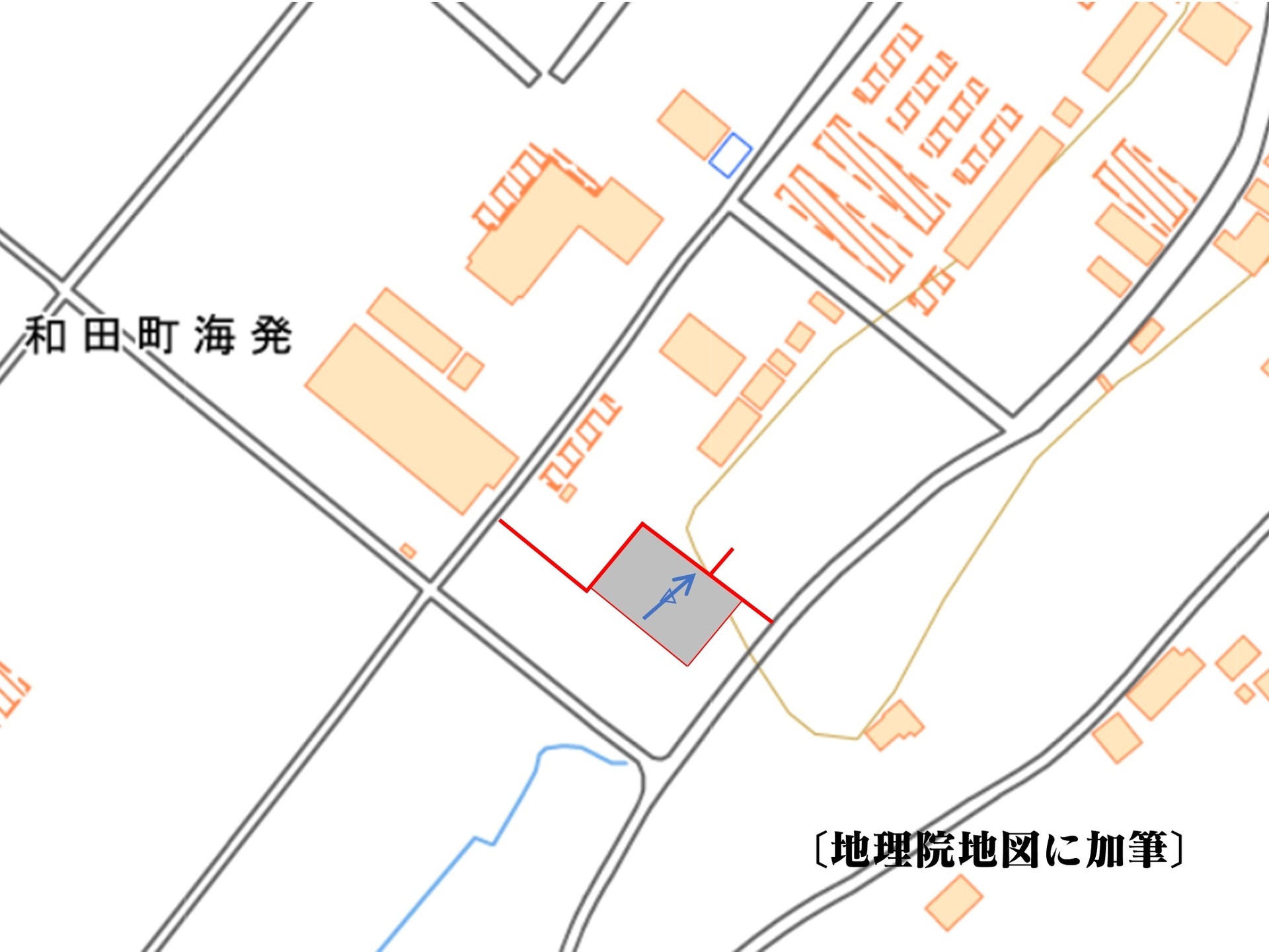
But…
The parcel-number search service did not cover it.
Nor did Blue Map. I dashed to the National Diet Library after work, but it was a wasted trip.
It looked as though I would have to take a weekday off and visit the Legal Affairs Bureau in Tateyama.
↑ Thanks to your help, I did not have to go.
From Google Street View
It shows the site under construction (photographed August 2023).
-
Antenna: Create Design.
-
Construction: JESCO.
Those can be identified.
If you have a contact at either company, try a little social engineering.
[Added November 8] The latter company's website:
https://www.jesco.co.jp/ja/cns/company/outline.html
lists NuVo Networks K.K. as one of its major customers.
Return journey
Minamihara 10:00 → Kimitsu 11:46 / 11:50 → Shimbashi 13:26 / 13:33 → onward.
Minamihara. Trains passing.
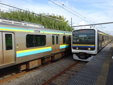
At Kimitsu, a cross-platform transfer to a train for Zushi.
Shimbashi.
Transmitter-tower spotting
Just before Takeoka.
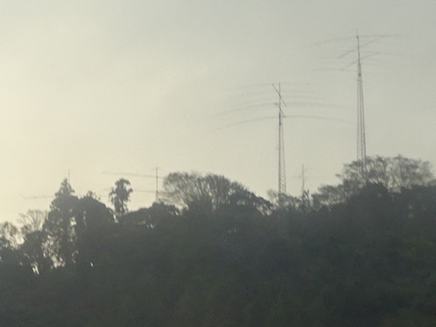
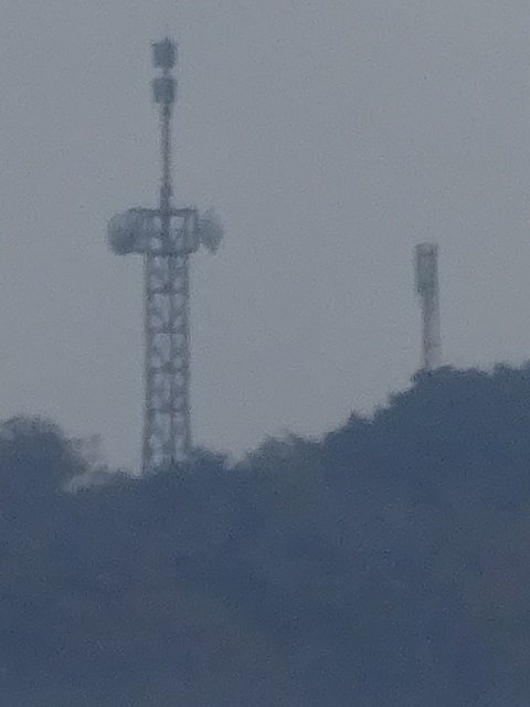
Mount Tomi, famous from Hakkenden.
-
Left: probably a base station for Chiba Prefecture's digital fire and ambulance radio.
-
Right: a digital television relay station,
I would say.
Expenses
¥2,640: JR, Tamachi → Minamihara.
¥2,640: JR, Minamihara → Tamachi.
――――――――――――――――
¥5,280 total.
Comments
Translated from the comments in the archived original HTML. Author names and timestamps are retained as displayed; these are separate from the article.
JG4KGN — 2023-11-07 08:35
You have probably already checked, but I think these may be the three parcels: Wada-cho Kaihotsu 1264-2; red-line public path 1218-79; and 1218-13.
I wonder whose land it is.
JJ1WTL — 2023-11-07 12:39
It came back as ‘DRW-NX Japan GK’! All three parcels. The ownership transfer is dated June 8, 2023, so the timing fits too. I cannot thank you enough. TU VY MUCH.