Microwave routes (Hokota)
Original: Ryota / JJ1WTL — 521116477 · Original Japanese HTML
Published: 2026-07-12T17:09:00+09:00
English translation of the archived article text. The author’s first-person observations, uncertainty and later additions are preserved; this is not the research summary. Image contents are preserved as images, not silently incorporated into the translated prose.
Part two of the search for High Bar Communications’ northward route.
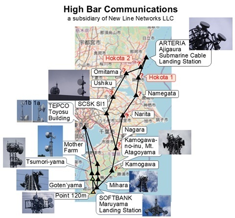
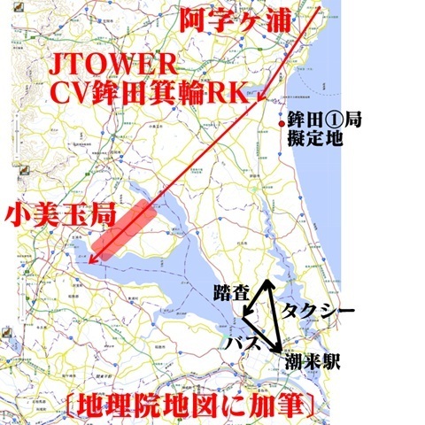
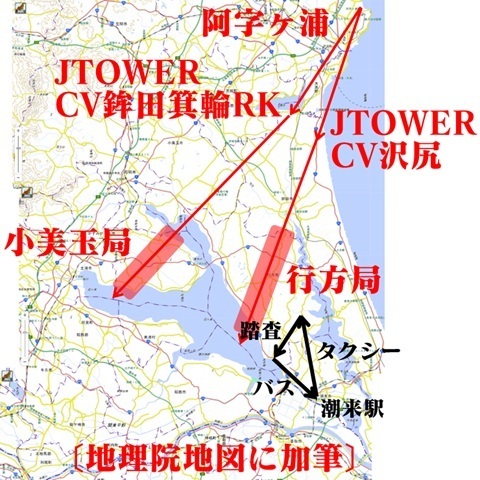
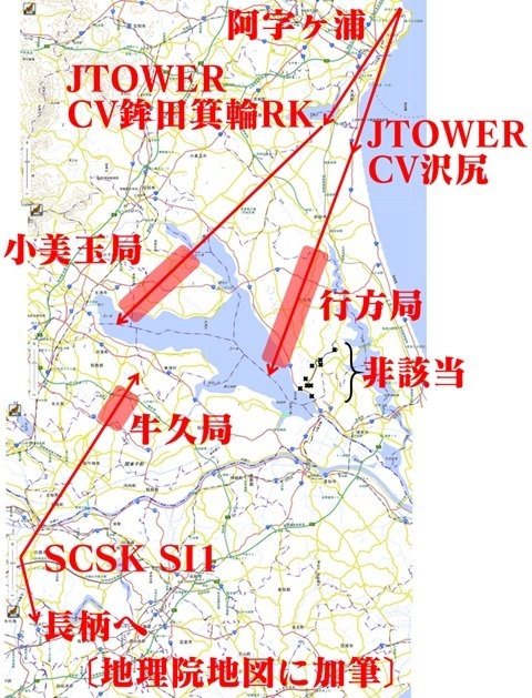
I decided to tackle the far end first, starting with the two stations in Hokota immediately before Ajigaura, the furthest endpoint. They are shown in red in the diagram.
Desk research
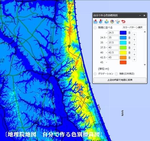
High ground where a station might be placed
Looking at Hokota’s terrain, the Kashima Plateau along Route 51 looks promising.
Street View
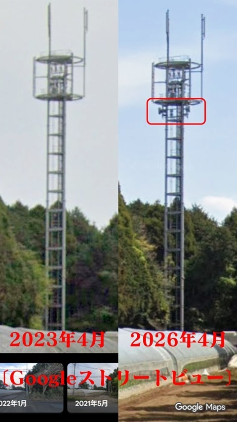
Fortunately, the Street View imagery along Route 51 was updated in April 2026.
Taking advantage of that, I wander around virtually…
And spot a suspicious tower!
In the cadastral area called Araji.
North- and south-facing dishes have been added below the platform.
Let’s make this the provisional location of the relay on the Ajigaura–Hokota ①–Namegata route.
Looking at the power of the Ajigaura station:
-
Towards Hokota ① (Namegata route): 502.4 mW — farther from Ajigaura.
-
Towards Hokota ② (Omitama route): 282.6 mW — closer to Ajigaura.
Those are the figures.
Hokota ② should therefore be farther north.
That is the conclusion.
Taking the square root to make it sound plausible gives a distance ratio of 1.3.
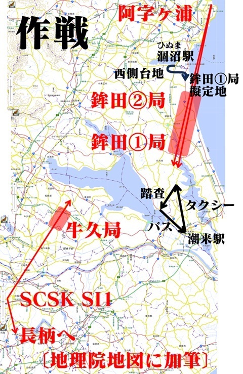
The plan
Get off at Hinuma Station at the northern end of the city.
Just in case,
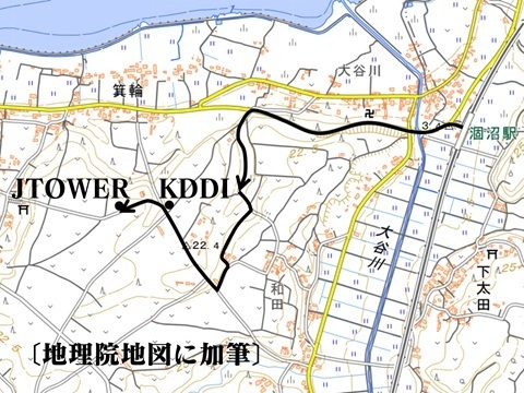
climb onto the plateau to the west and have a look, searching for Hokota ②
while heading towards the provisional Hokota ① location in Araji.
Once identified, move on to the next stage, Namegata.
The red lines mark provisional locations based on the previous trip’s findings. Yes, they are off.
To Hinuma
Saturday, July 11. The same approach as on the Ajigaura trip,
but changing trains earlier, at Mito:
Tamachi 4:36 → Ueno 5:11 → Mito 06:58 / 7:11 → Hinuma 7:34.
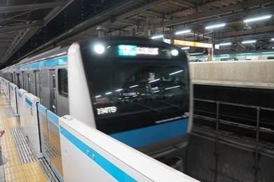
Construction of the new Haneda line.
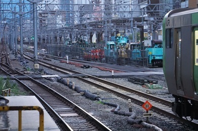
Tamachi.
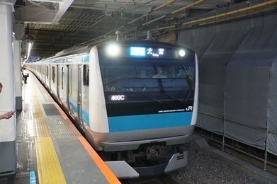
Ueno.
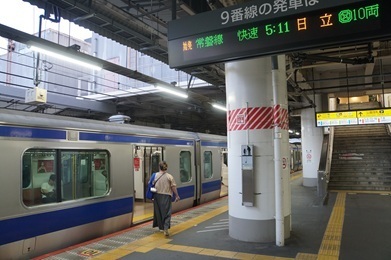
Mito. My first time on the Oarai Kashima Line.
You have to leave the ticket gates to buy a ticket.
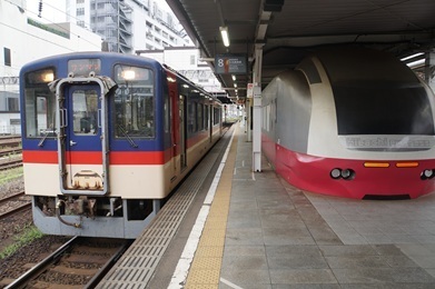
Arrived at Hinuma.
An elevated station. Even so, I will have to stop being lazy and climb onto the plateau to see anything.
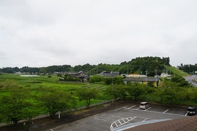
Starting the search around Hinuma
Leaving Hinuma Station at 7:44, heading up onto the plateau.
I can see something already…
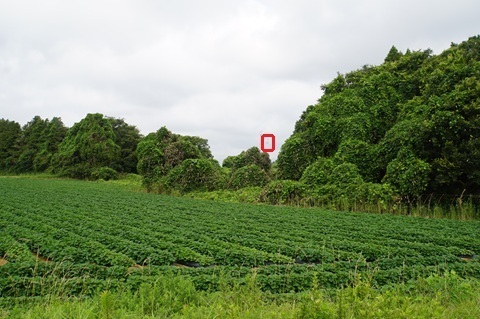
Only thirteen minutes after setting off. I really do have luck on my side.
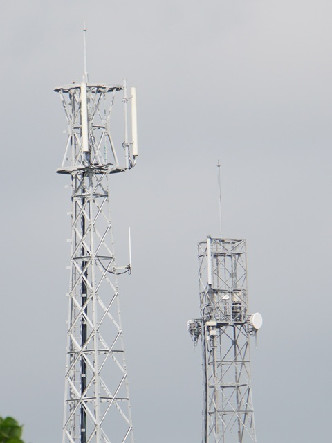
This is the viewpoint.
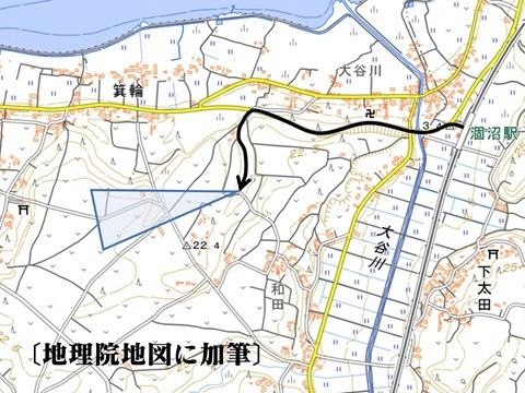
Approaching by the shortest route.
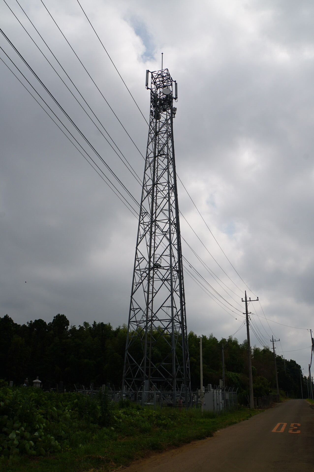
Hokota Minowa station (provisional name): the whole picture
Enjoy. Some of the following photographs can be enlarged by clicking.
The whole site
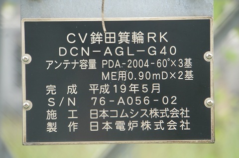
Google Maps has a label: ‘CV Hokota Minowa RK’.
Except it is classified as a Buddhist temple. orz
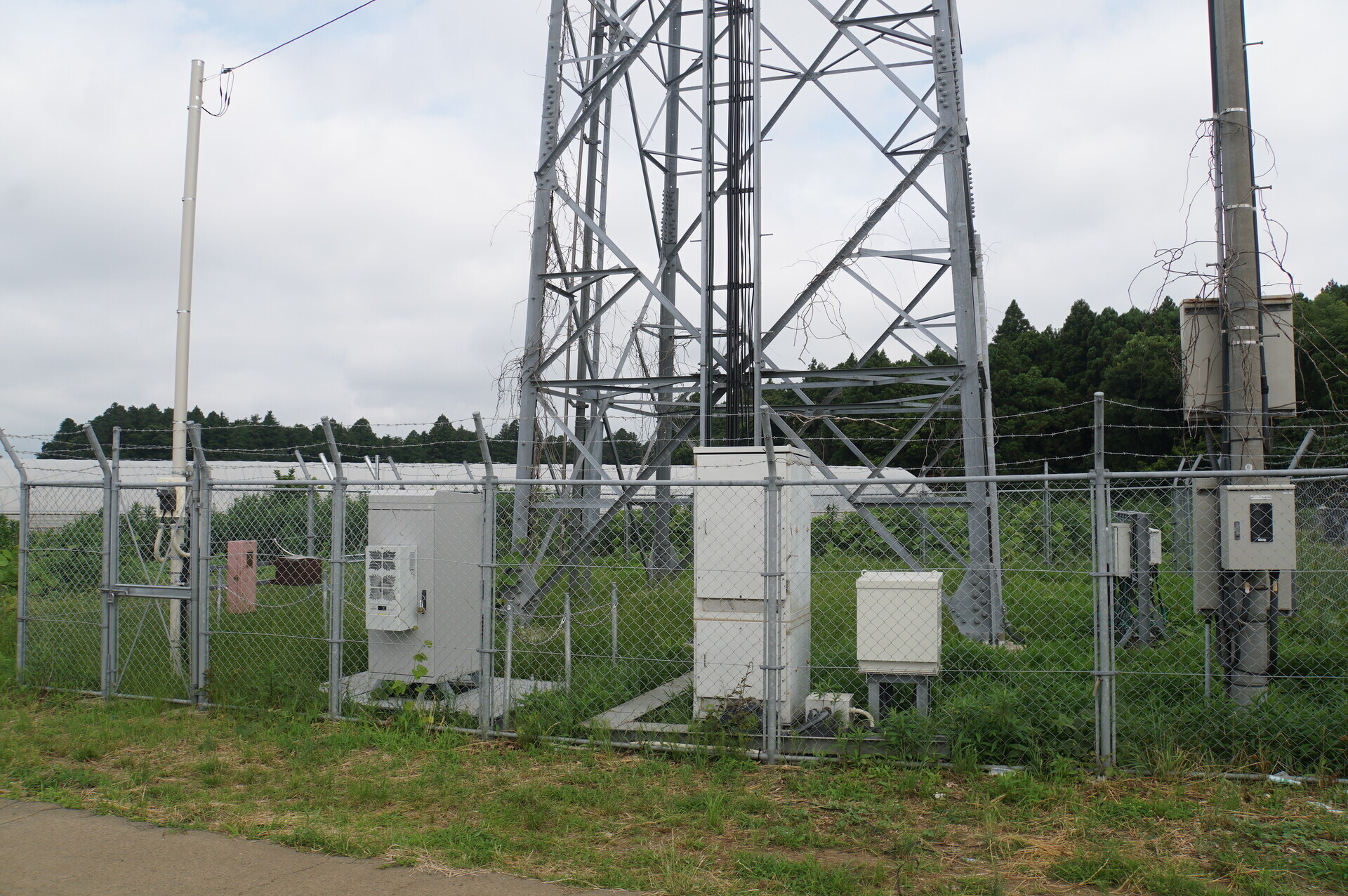
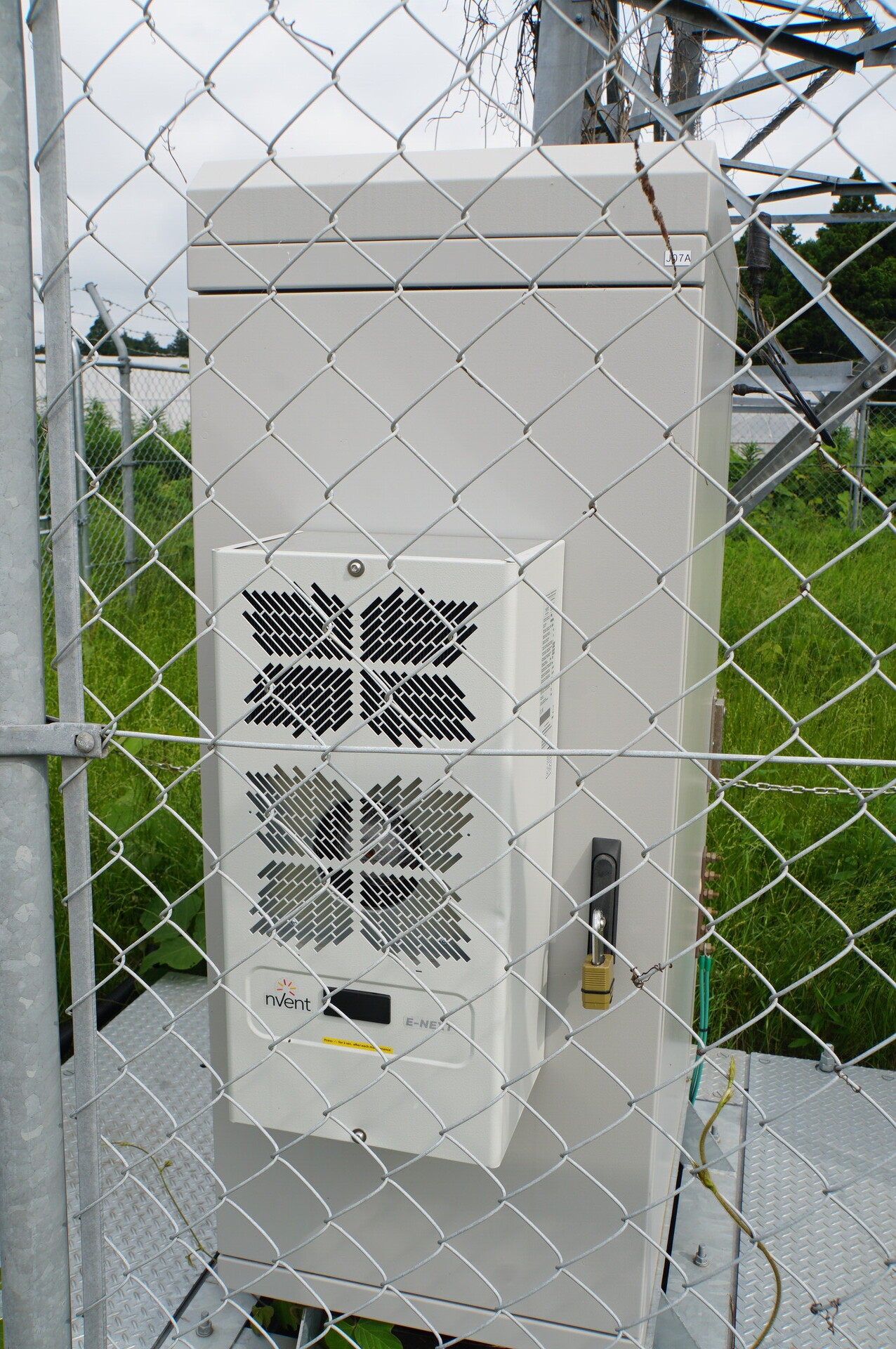
The ground-level equipment. HBC occupies the left half along the fence in front.
The HBC section.
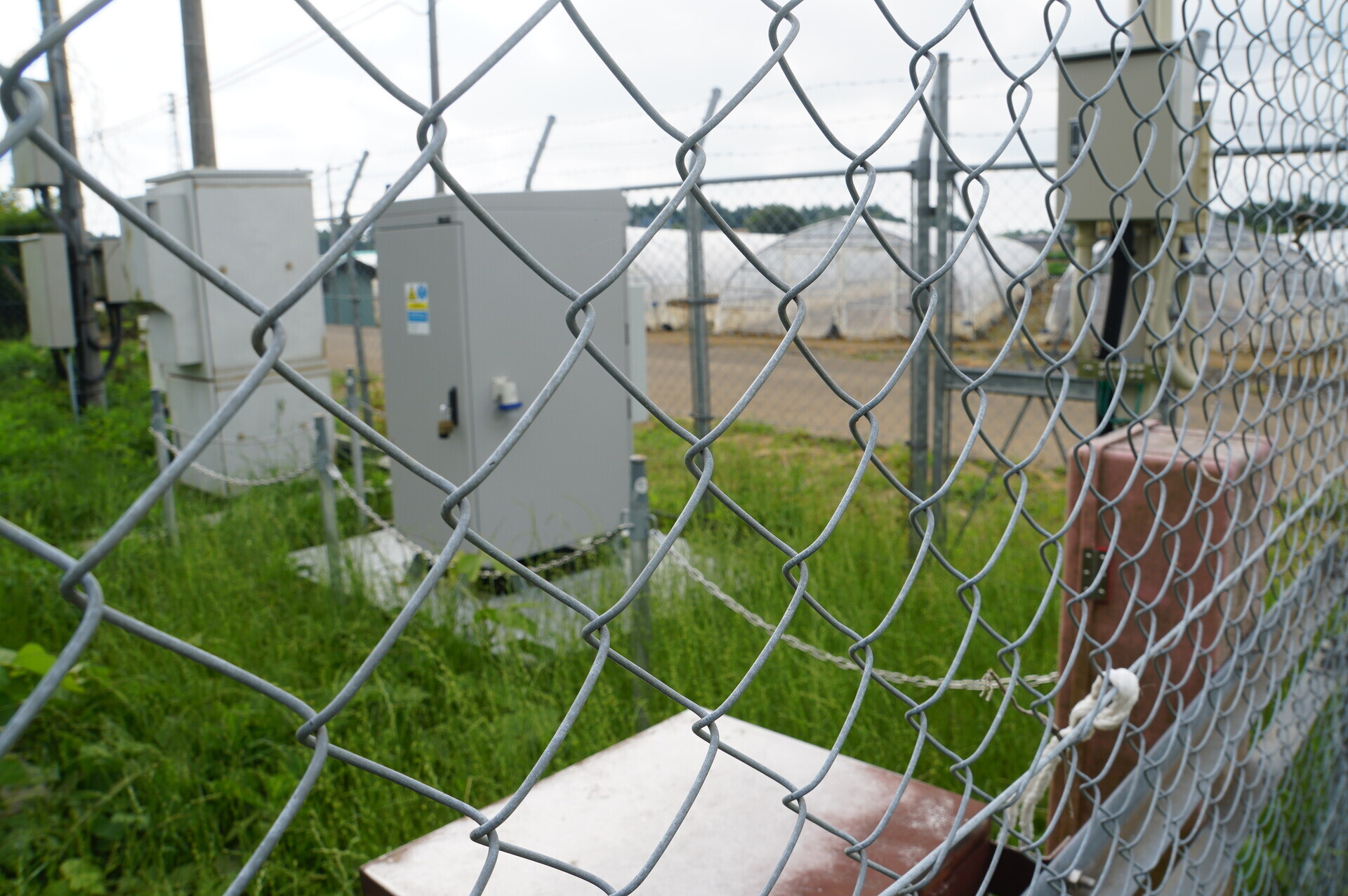
A familiar-looking rack… No fan noise audible.
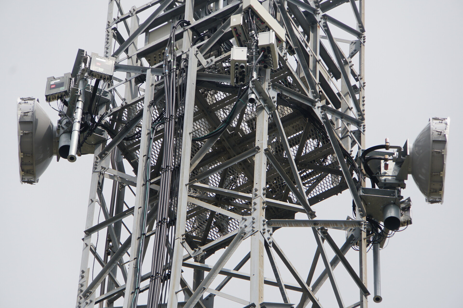
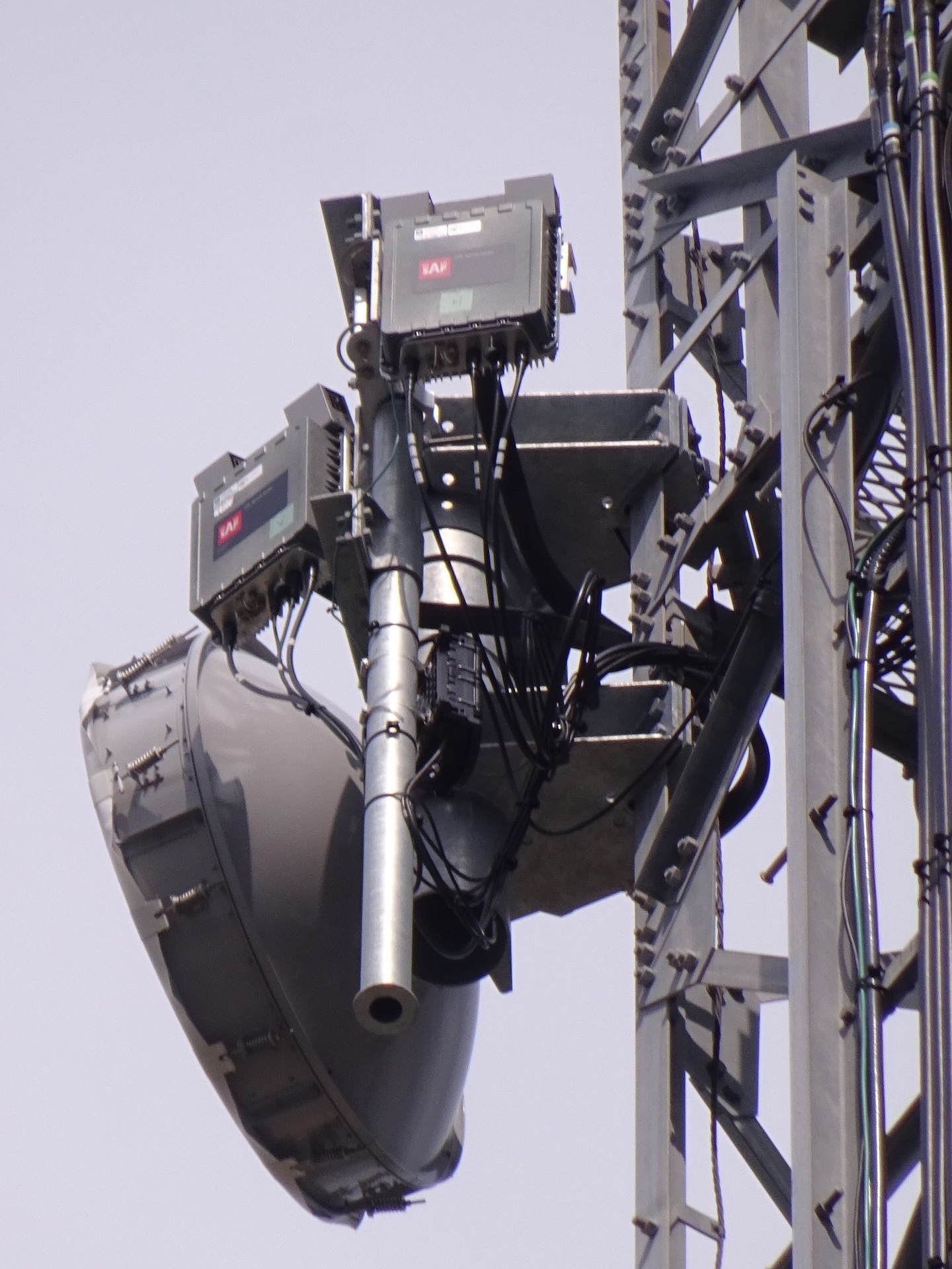
Dishes
Close-ups in both directions.
Facing northeast.
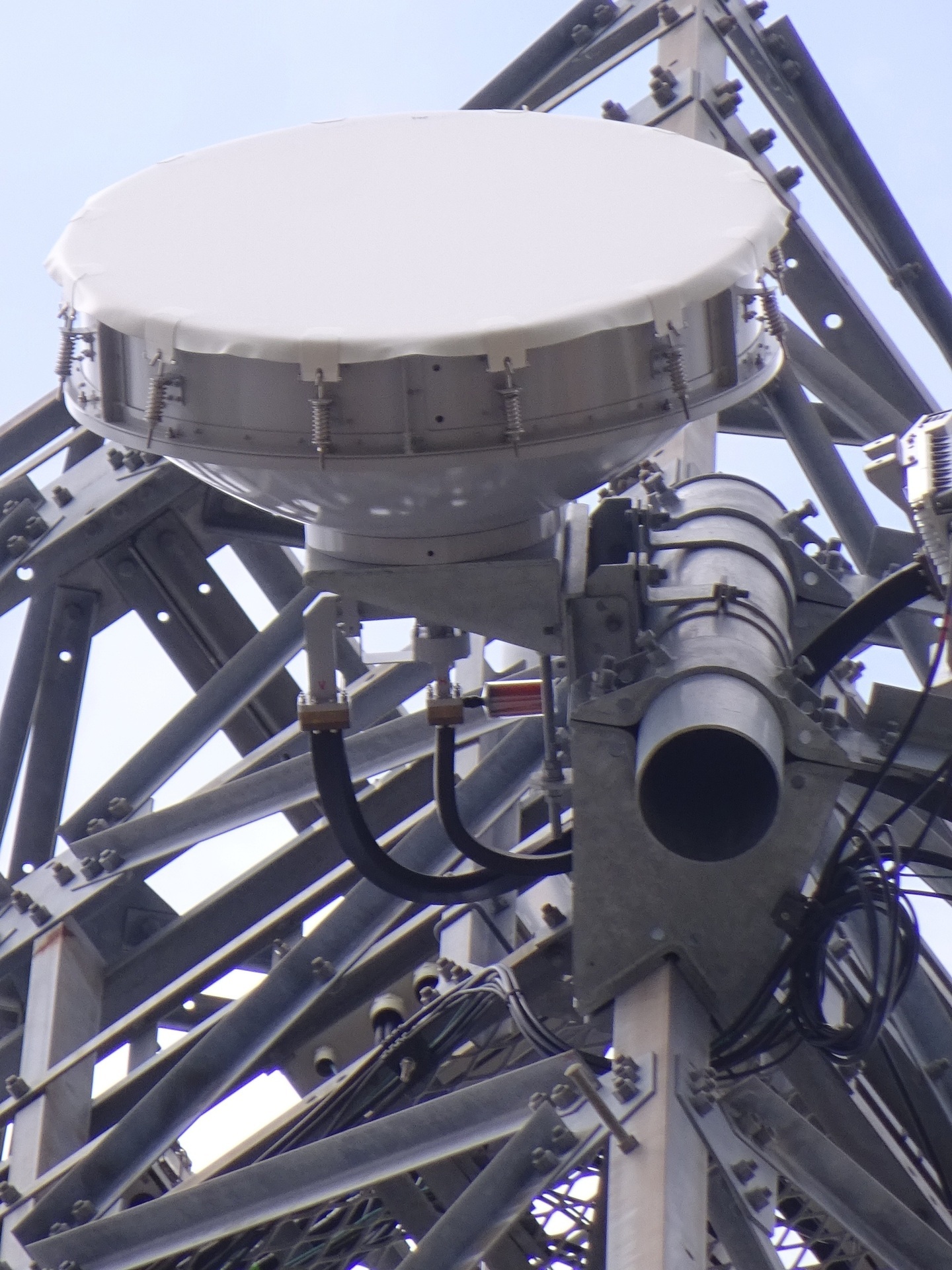
Facing southwest.
Identification labels
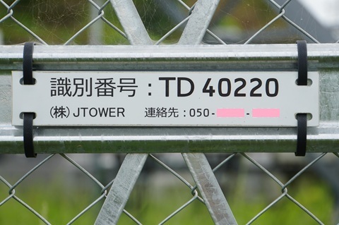
JTOWER’s ID.
Its site name.
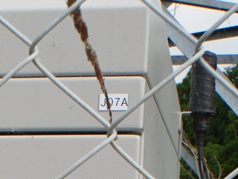
HBC’s label.
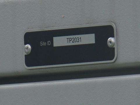
Its Site ID.
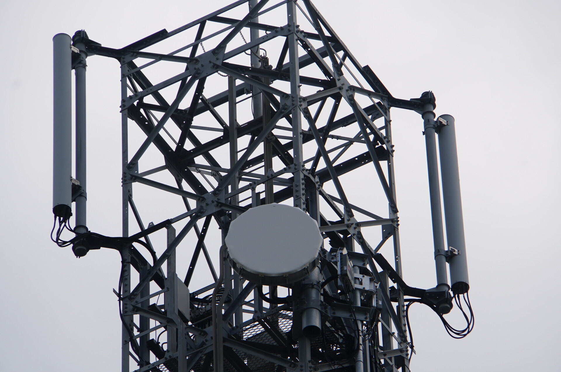
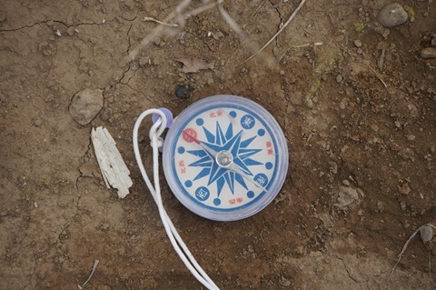
Bearings towards the next hops
Northeast: towards Ajigaura.
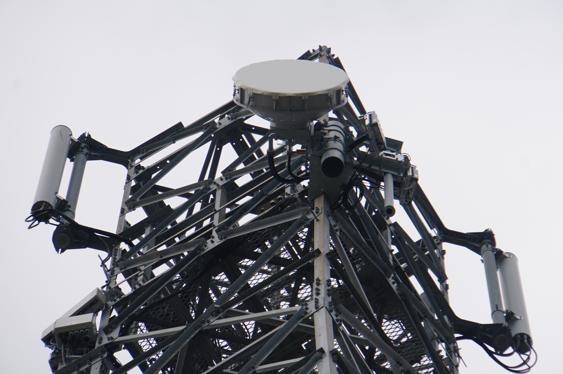
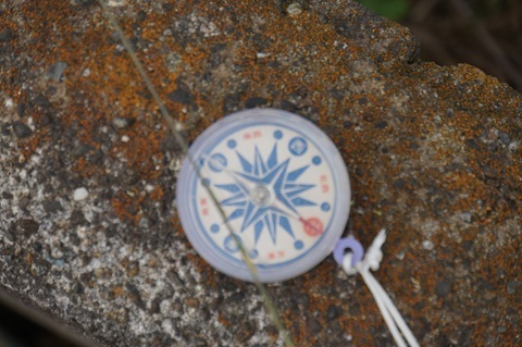
Southwest: towards Omitama.
Findings so far
Hokota ② identified:
https://www.google.com/maps/place/@36.2635713,140.5137879,51m/data=!3m1!1e3
An approximate location for the Omitama station established.
We also learned that HBC has changed its deployment approach:
-
Previously: erecting its own towers.
-
Now: piggybacking on existing towers.
To the Araji area
Going well.
On to the next target: the provisional Hokota ① location.
Oh? There it is. Note: an hour has passed in the meantime. I left Hokota Minowa at 8:44; it is now 9:47.
It should be clearly visible from the main road too, just to the east.
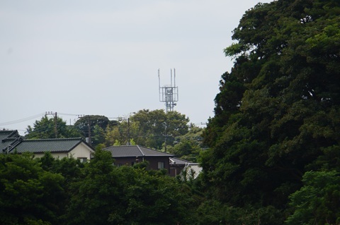
Very Hokota.
Joining the main road and heading south.
Arrived at 9:53.
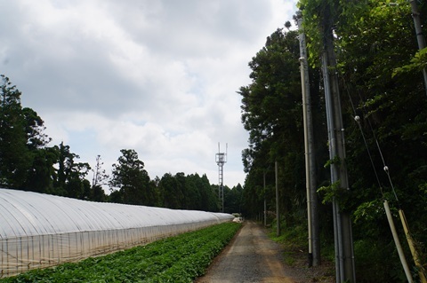
Sawajiri station (provisional name): the whole picture
Enjoy.
The whole site
The site.
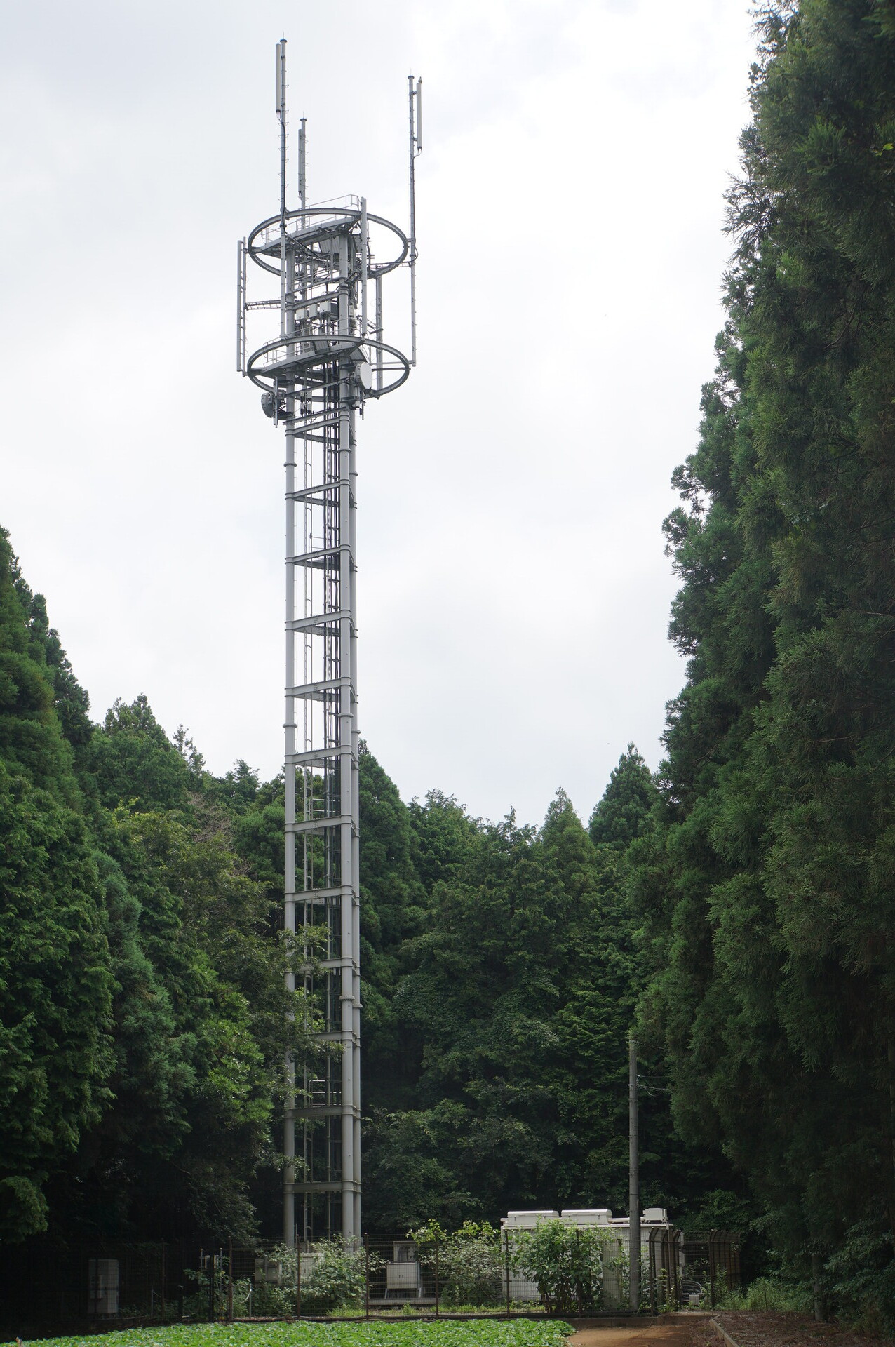
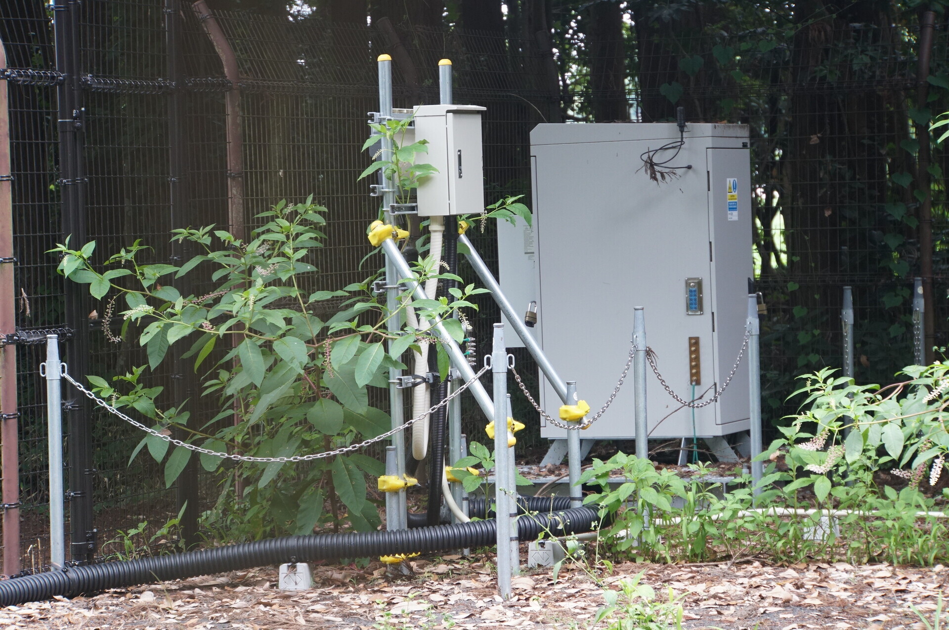
Ground-level equipment.
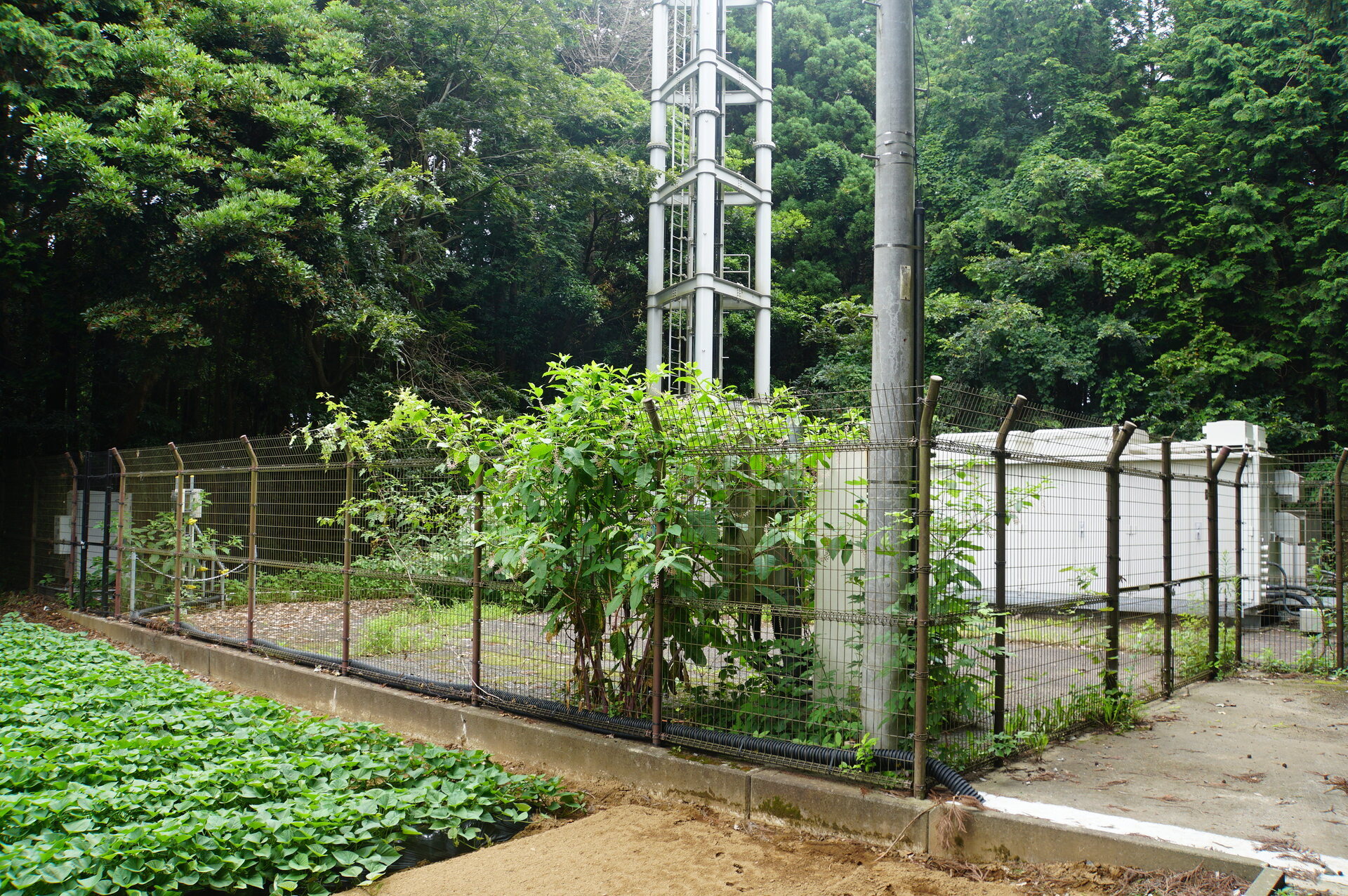
The portion used exclusively by HBC.
At this station, I could hear the fans.
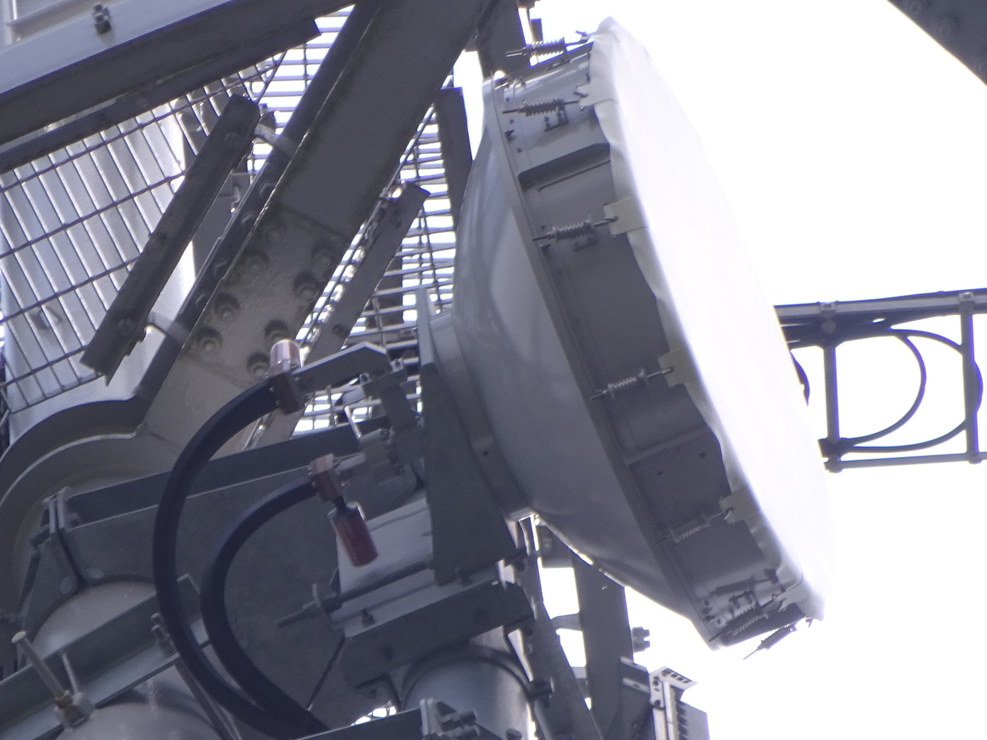
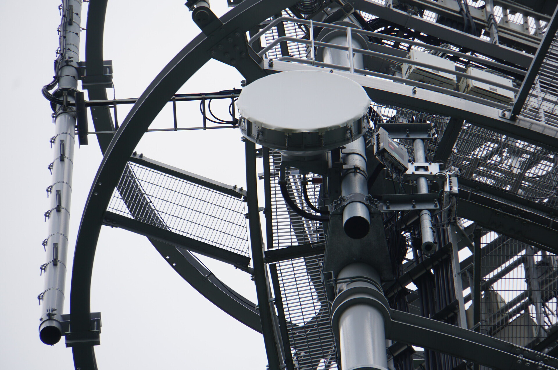
Dishes
Capturing both link directions.
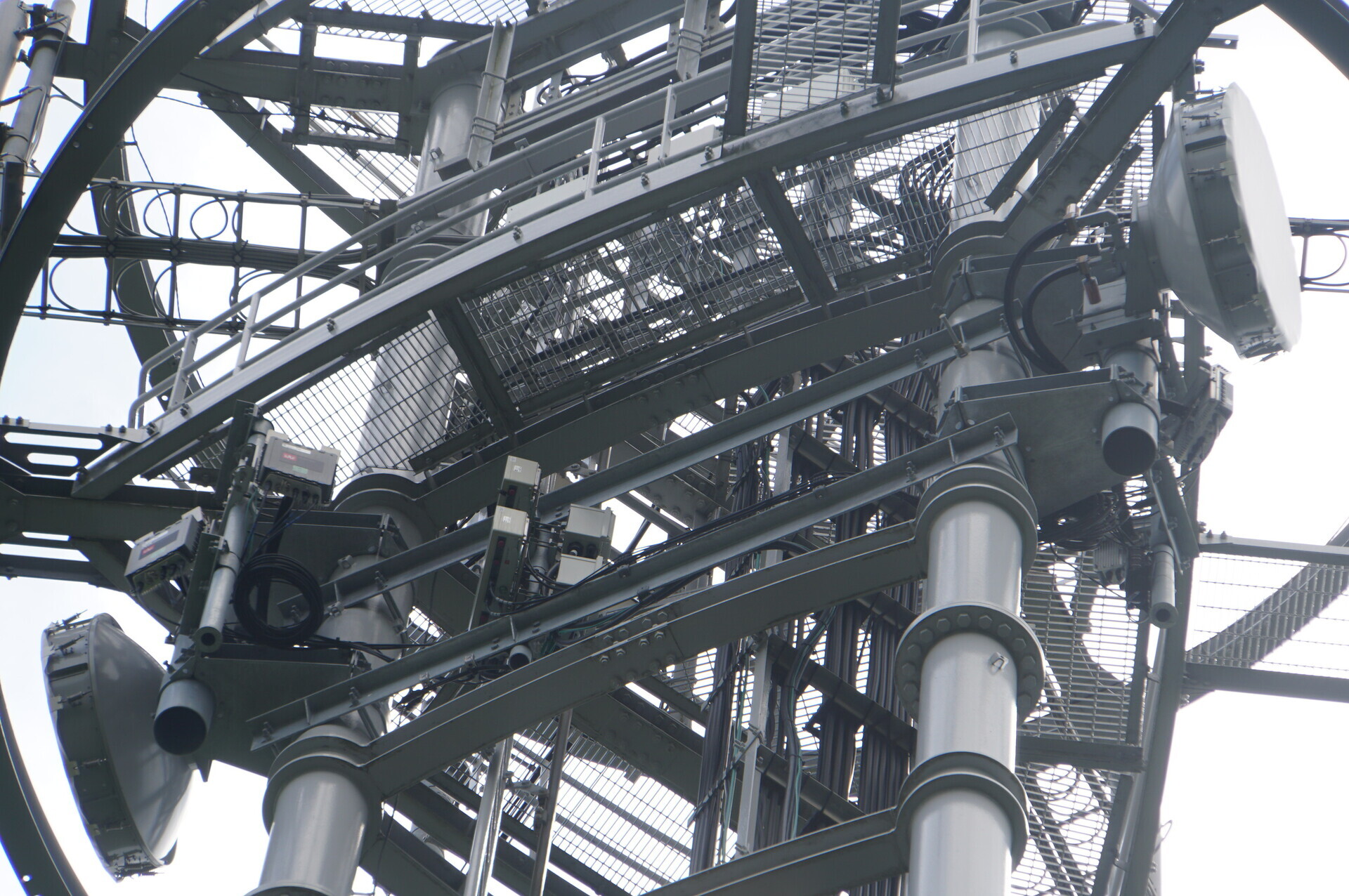
The left antenna, facing north towards Ajigaura.
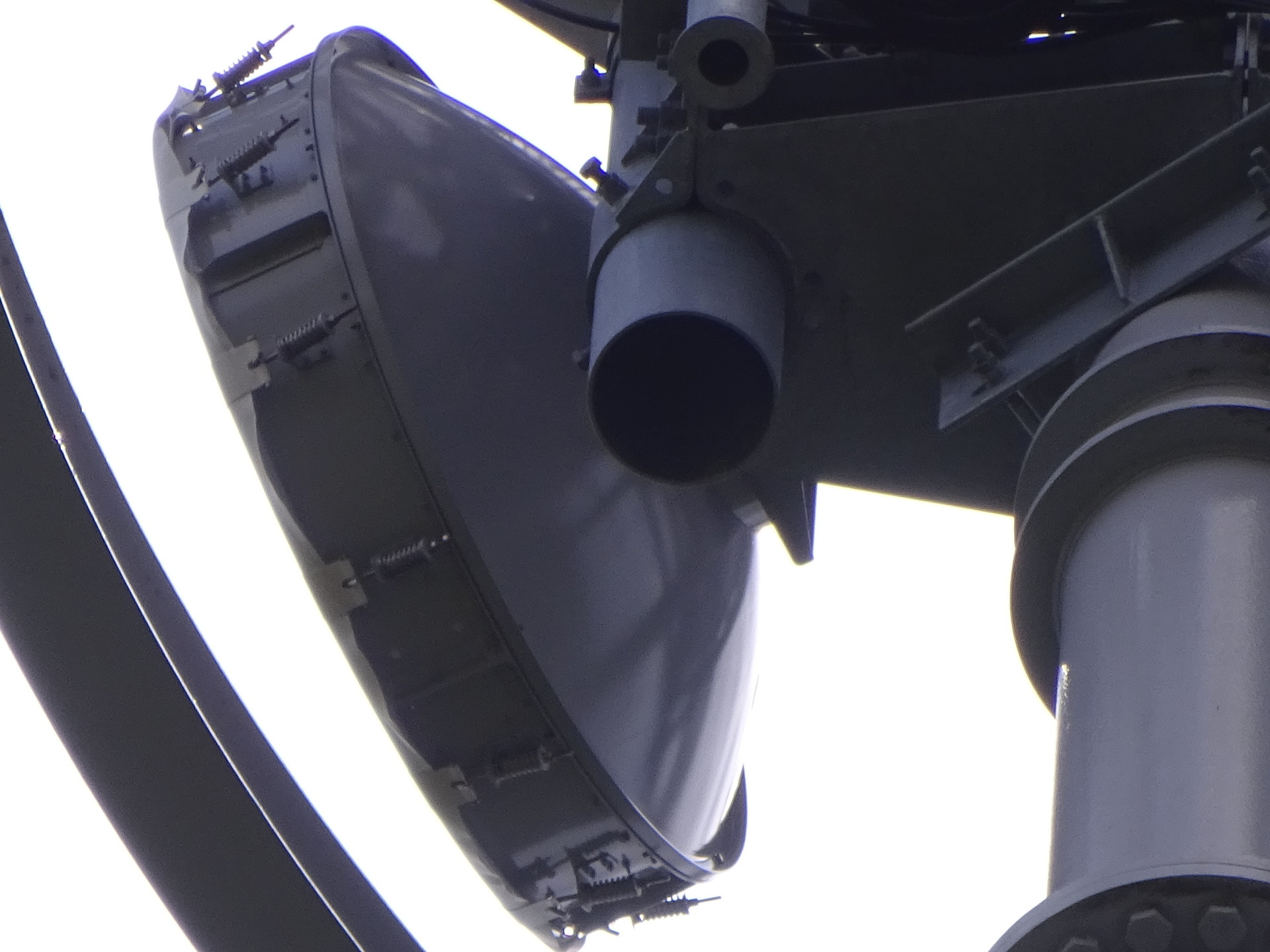
The right antenna, facing south towards the still-unidentified Namegata station.
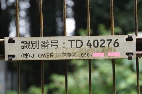
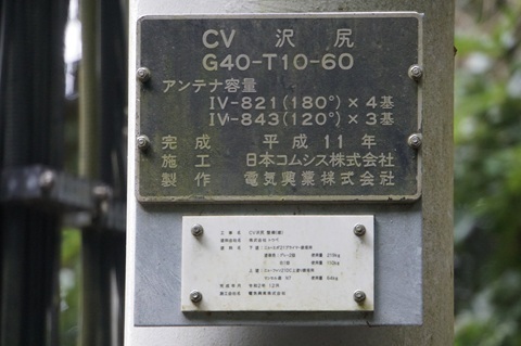
Identification labels
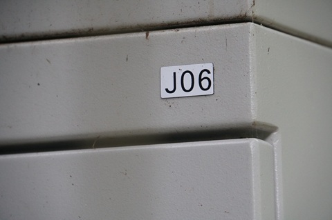
JTOWER’s ID.
Its site name.
HBC’s label. For comparison, Hokota Minowa above is J07A; Ajigaura is J08.
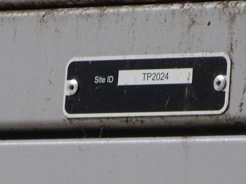
Its Site ID. Hokota Minowa above is TP2031.
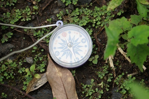
Bearings towards the next hops
The south side: the right-hand antenna as seen from the main road.
South-southwest.
The north side… I could not look up at it through the bushes, so gave up.
It is obviously Ajigaura, so no regrets.
Findings so far
Hokota ① identified:
https://www.google.com/maps/place/@36.2361697,140.5513663,51m/data=!3m1!1e3
An approximate location for the Namegata station established.
The Namegata station seems to be farther north than I expected.
But if I start pursuing that location now, I will not be able to get home.
For this trip, I will stick to the original plan and make a quick sweep of the southern end of Namegata before returning.
To Namegata
Kashima-Asahi 11:59 → Kashima-Jingu 12:59 / 13:23 → Itako 13:33.
CV Sawajiri 10:14 → Kashima-Asahi Station 11:11.
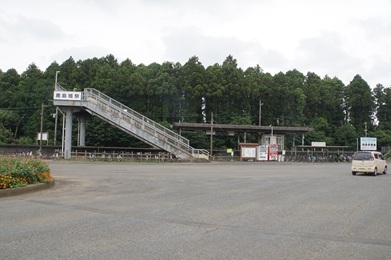
Leaving Kashima-Asahi at 11:59.
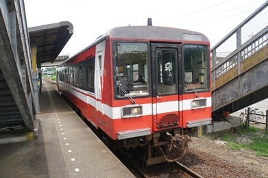
Kashima-Jingu.
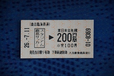
I was given this for the fare adjustment when getting off.
Leaving Kashima-Jingu at 13:23. A cross-platform transfer.
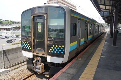
Arrived at Itako.
The Ministry of Land, Infrastructure, Transport and Tourism’s Kasumigaura River Office.
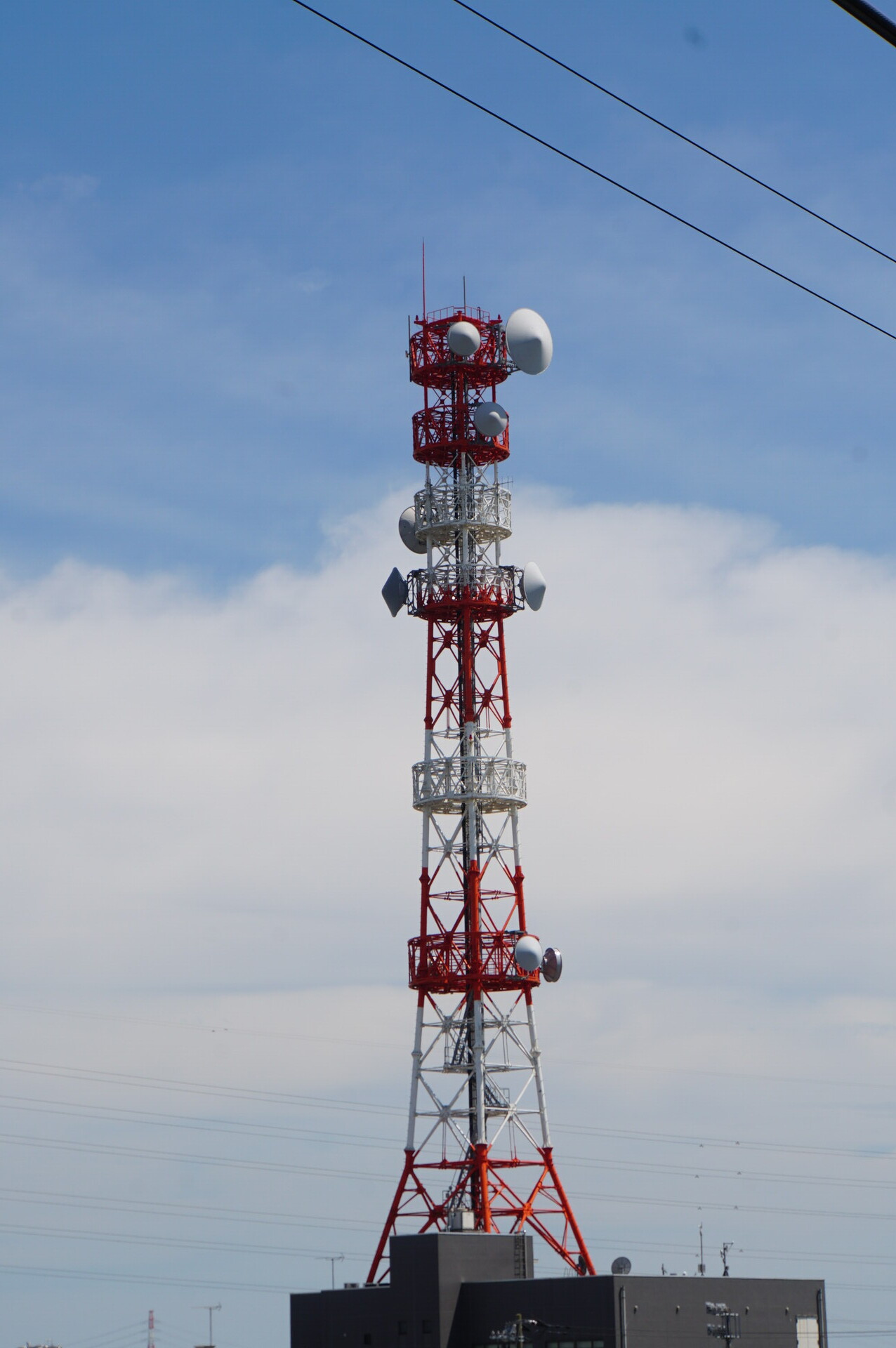
A taxi from Itako Station to Fudoyama Kofun.
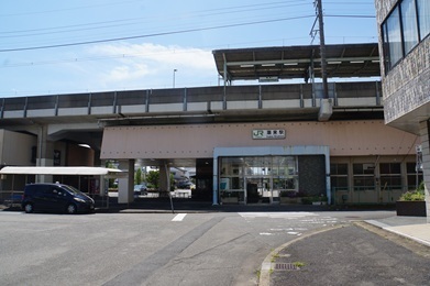
Getting out… Huh? Could this perhaps be the ‘Namegata site’ itself?
Starting the search at 14:15.
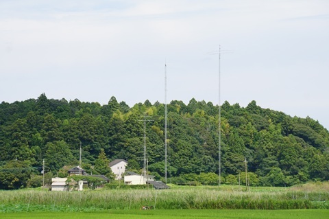
Up onto the plateau, checking every tower I can see, one by one.
Near Midway Farm and Aso East Elementary School
First target… a miss. It looks like such a good location, though.
https://www.google.com/maps/place/@36.0296538,140.5262474,52m/data=!3m1!1e3
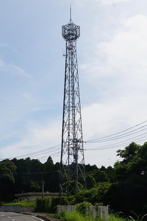
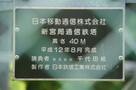
And so it continues:
Distant view from Aso Kindergarten
A radio-tower symbol on the Geospatial Information Authority map.
https://www.google.com/maps/place/@36.0118771,140.4998488,52m/data=!3m1!1e3
Crossing the Higashi-Kanto Expressway.
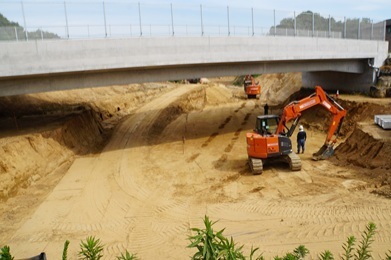
Just across the Higashi-Kanto Expressway
https://www.google.com/maps/place/@36.0174093,140.5068765,52m/data=!3m1!1e3
Nearby, looking some distance southeast
A radio-tower symbol on the GSI map.
https://www.google.com/maps/place/@36.0134783,140.5071586,52m/data=!3m1!1e3
Off the road, a little uphill, beside a solar farm
https://www.google.com/maps/place/@35.9975741,140.4900086,52m/data=!3m1!1e3
From in front of Namegata Police Station: looking up from the municipal office
https://www.google.com/maps/place/@35.9912643,140.4928974,52m/data=!3m1!1e3
Right beside the municipal office
A radio-tower symbol on the GSI map.
https://www.google.com/maps/place/@35.9911837,140.4892611,52m/data=!3m1!1e3
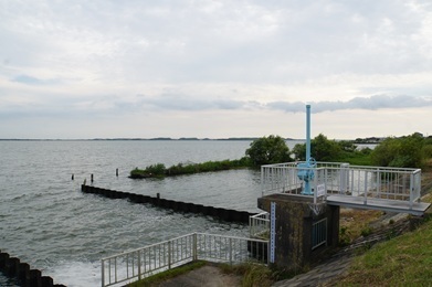
From the lakeside
A radio-tower symbol on the GSI map.
https://www.google.com/maps/place/@35.9863025,140.4820957,52m/data=!3m1!1e3
And so I reach the lakeside at 16:19.
No results from the Namegata part of the trip.
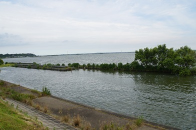
Heading home
Aso municipal office 18:00 → Suigo-Itako Bus Terminal 18:47 / 18:51 → Tokyo 20:17 / 20:25 → Tamachi 20:34.
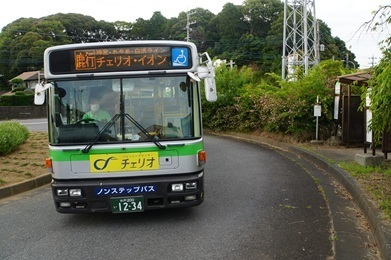
A meal and some time to kill until the 18:00 bus.
I missed the previous bus by seven minutes.
From the bus window
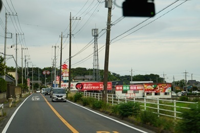
Suzuki Arena Namegata. Still unable to let it go, I check from the bus window too.
https://www.google.com/maps/place/@35.9802557,140.4972934,52m/data=!3m1!1e3
Suigo-Itako Bus Terminal.
The Kashima-go arrives straight away. Perhaps it is the one scheduled for 18:45.
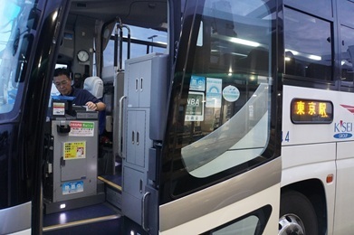
Tokyo.
Expenses
¥2,420 — JR, Tamachi → Mito
¥570 — Kashima Rinkai Railway, Mito → Hinuma
¥1,160 — Kashima Rinkai Railway, Kashima-Asahi → Kashima-Jingu
¥60 — JR fare adjustment at Itako Station
¥6,300 — taxi, Itako Station → Kurakawa, Namegata
¥300 — Jingu Ayame Shiraho Line bus, Aso municipal office → Suigo-Itako Bus Terminal
¥2,100 — Kashima-go express bus, Suigo-Itako Bus Terminal → Tokyo Station
¥199 — JR, Tokyo → Tamachi
――――――――――――――
¥13,109 — total
Summary
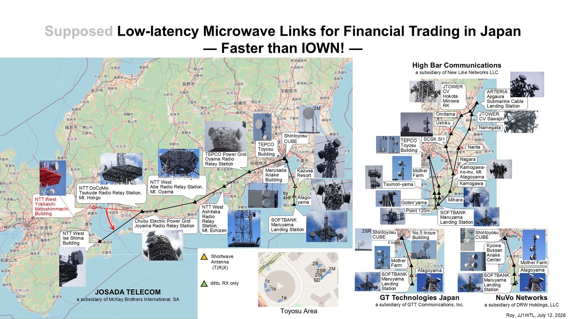
Results to date.
The overall picture. Click to enlarge.
Earlier article:
‘Microwave routes (Ajigaura and Inzai)’
https://jj1wtl.seesaa.net/article/521035620.html (English translation)
If you see a JTOWER tower with almost back-to-back dishes, please let me know:
Nagara, Narita, Namegata, Omitama and Ushiku.
To be continued...