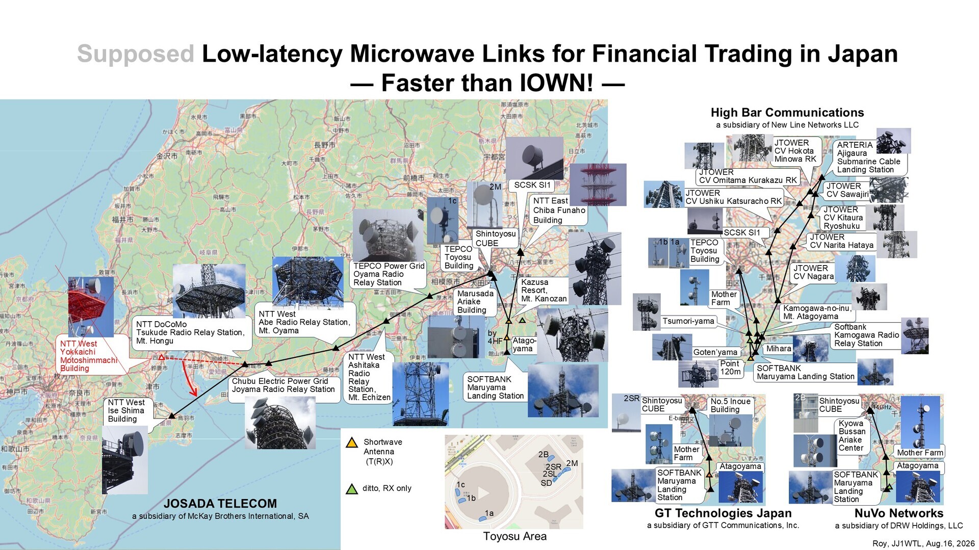
Microwave routes (Inzai #2)
Original: Ryota / JJ1WTL — 521356207 · Original Japanese HTML
Published: 2026-08-16T18:33:00+09:00
English translation of the archived article text. The author’s first-person observations, uncertainty and later additions are preserved; this is not the research summary. Image contents are preserved as images, not silently incorporated into the translated prose.
This appeared in the August 13 update of the Radio Station Information Search:
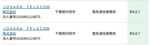
Checking again shows that a new branch has been added: Kanozan–Inzai–Inzai, shown in red in the diagram.
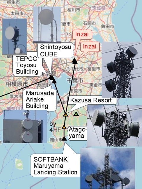
Checking Inzai
I visited Inzai on June 28 while investigating a new section of High Bar Communications’ network. HBC is a competitor of Josada Telecom.
Come to think of it, there was an antenna that caught my attention.
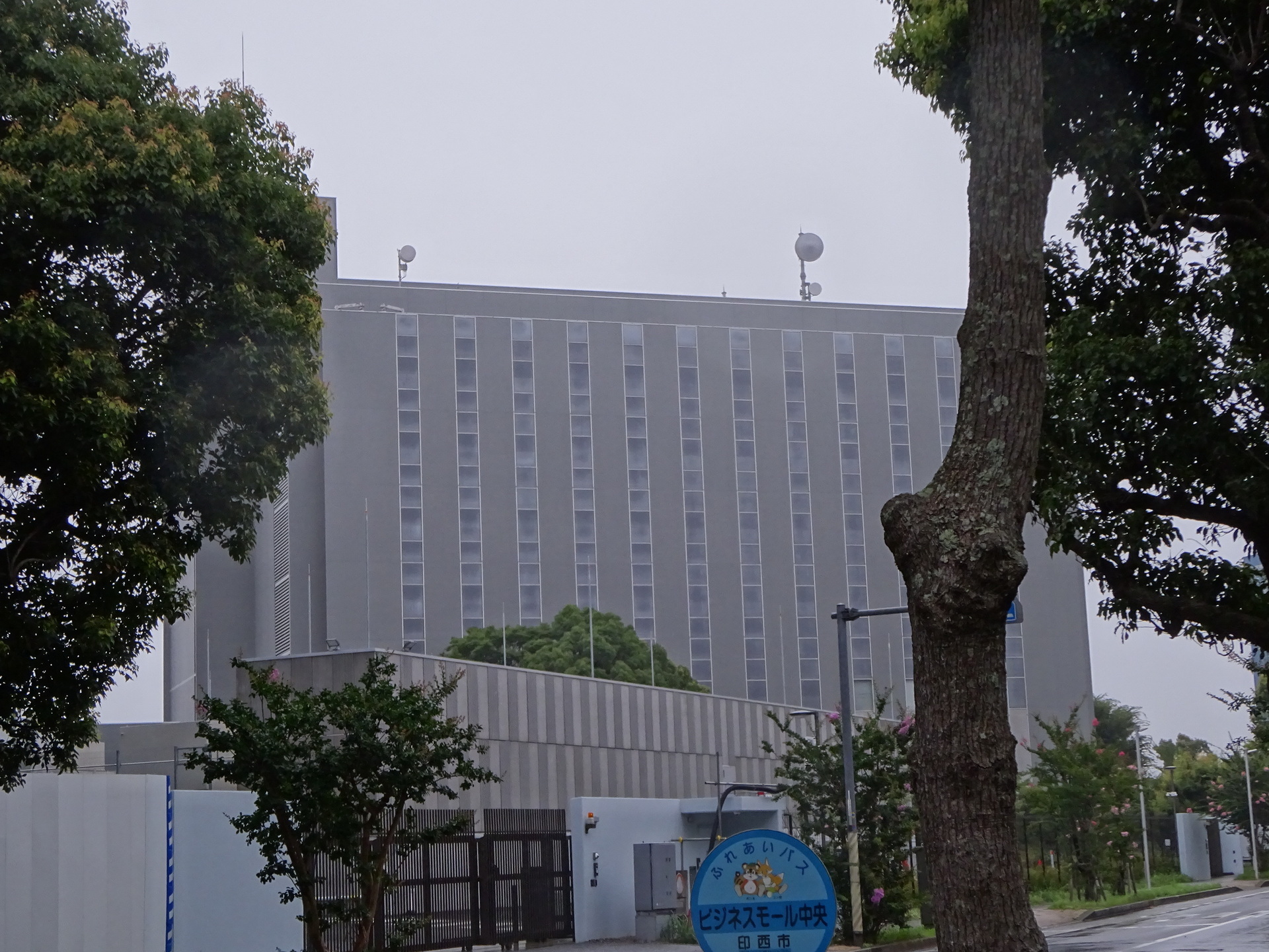
There was a mysterious antenna on the left, western side of SCSK SI1 too.
The one on the right, eastern side is HBC’s link towards Nagara.
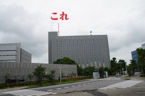
Zoomed in.
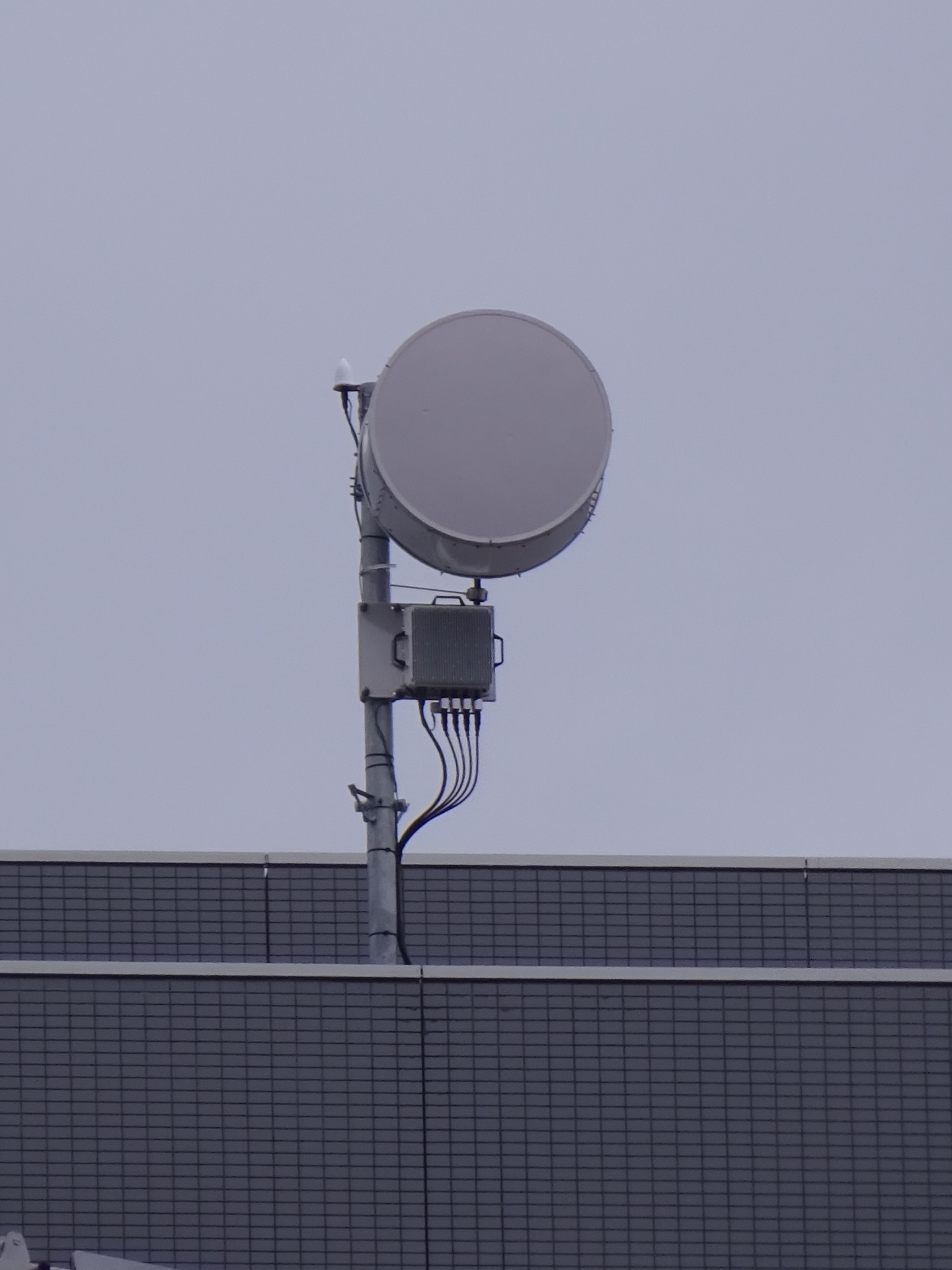
Furthermore…
Looking at the photograph I took of NTT Funaho on the way there… Huh?
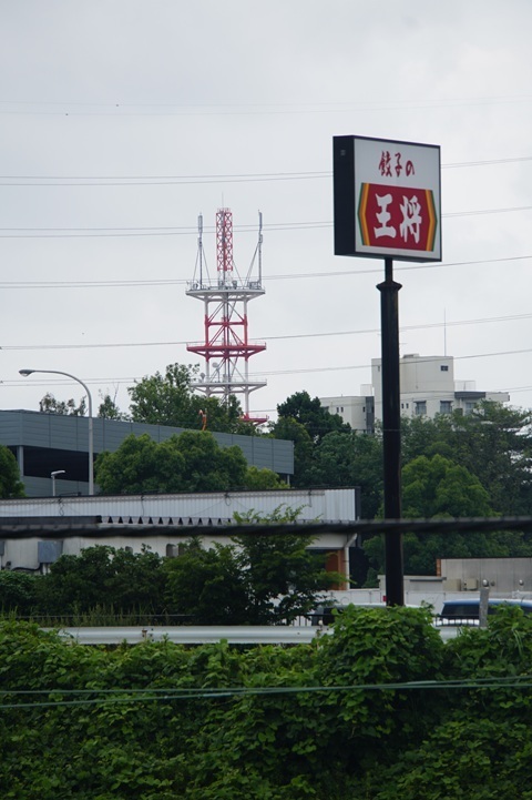
Zoomed in.
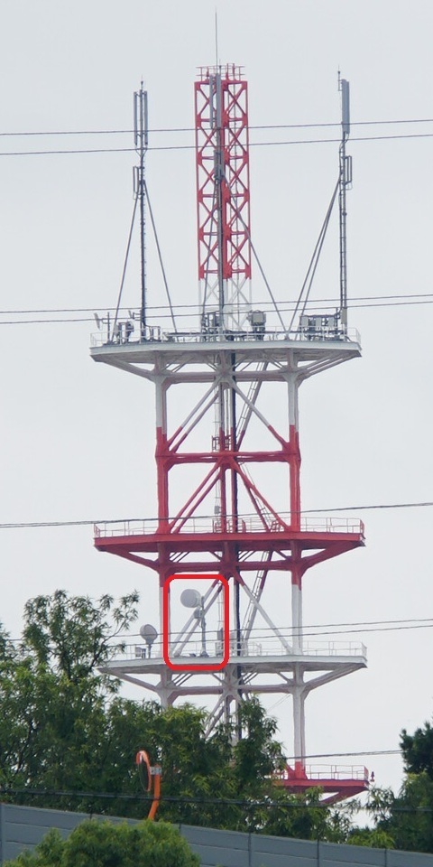
It is facing this site.
So the hypothesis is:
Kanozan → NTT Funaho → SCSK SI1
That is the proposed route.
However…
I cannot see an antenna aimed at Kanozan from the NTT building. In the photograph, it ought to point towards the back right.
Let’s visit again.
To Inzai
Sunday, August 16.
Mita 5:02 → Chiba New Town Chuo 5:53.
The first train from Mita runs straight through to Narita Airport.
Here I am again.
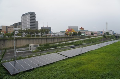
Light rain. I decide against renting a bicycle.
NTT Funaho
Approaching, with some uncertainty about the way… There is an antenna towards Kanozan!
The right-facing ones on the first and second platforms from the bottom.
Looking from the west.
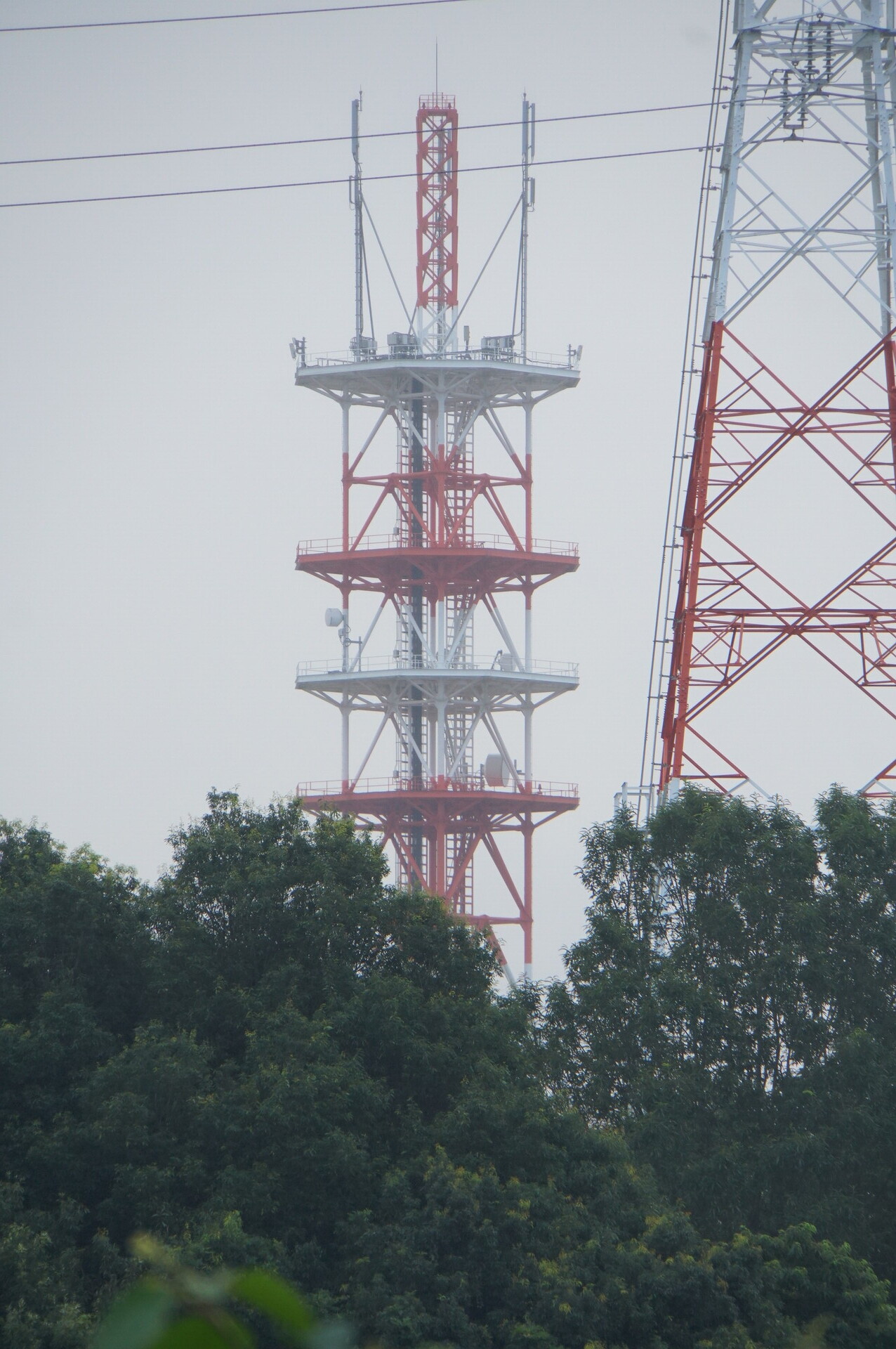
The best shot capturing both link directions.
Photographed from around here.
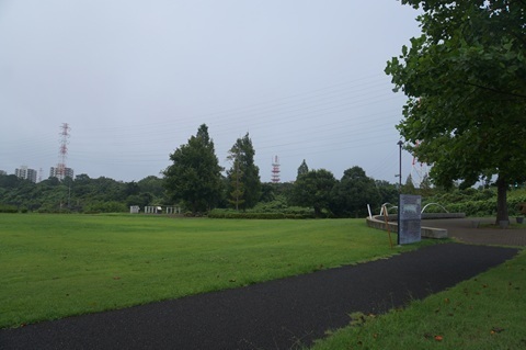
The southern end of Sogen Hiroba, the grassland plaza:
https://www.google.com/maps/@35.7910278,140.1208709,52m/data=!3m1!1e3
Antennas towards Kanozan (Kazusa Resort station)
From the south.
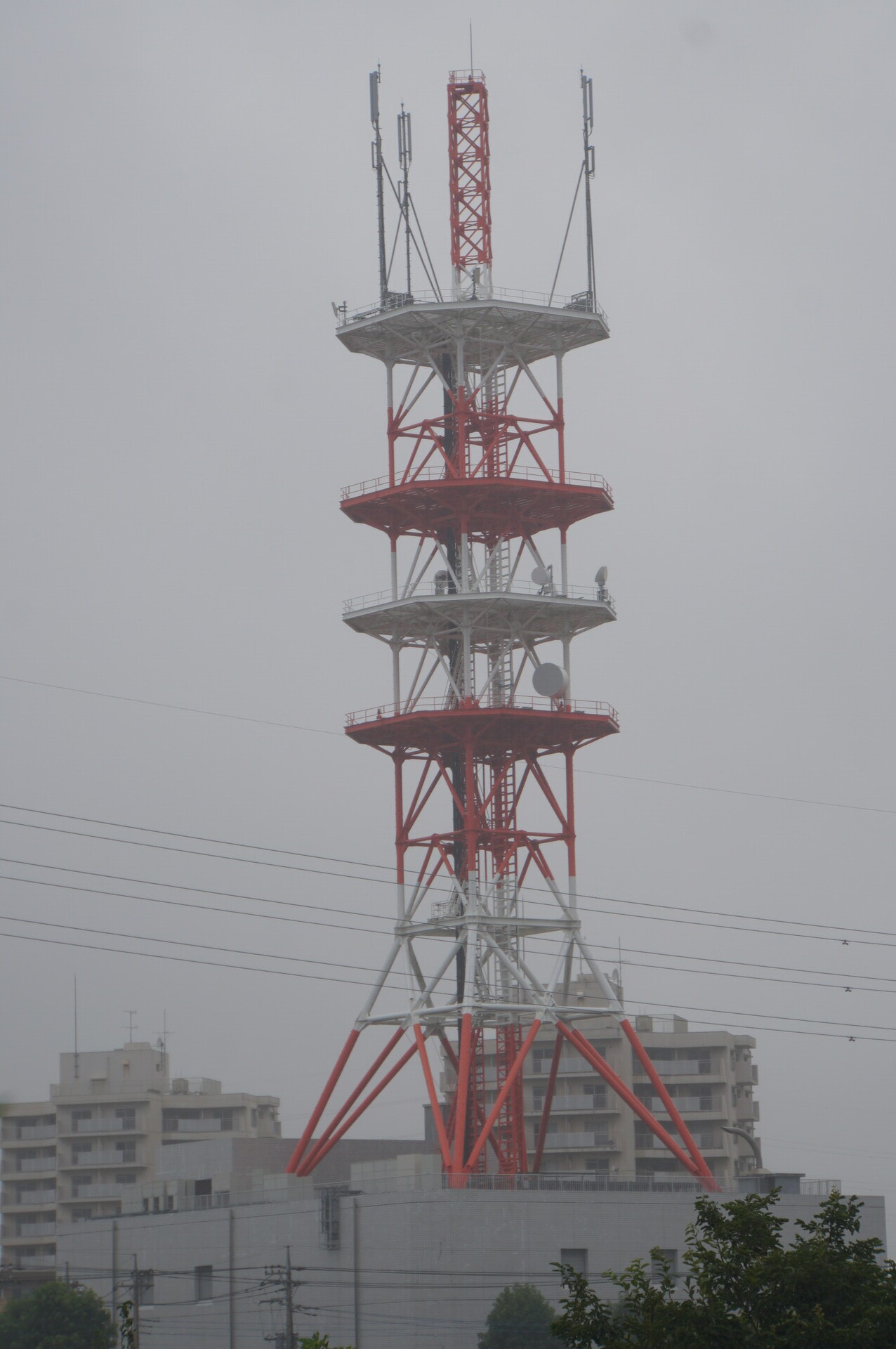
Now directly underneath.
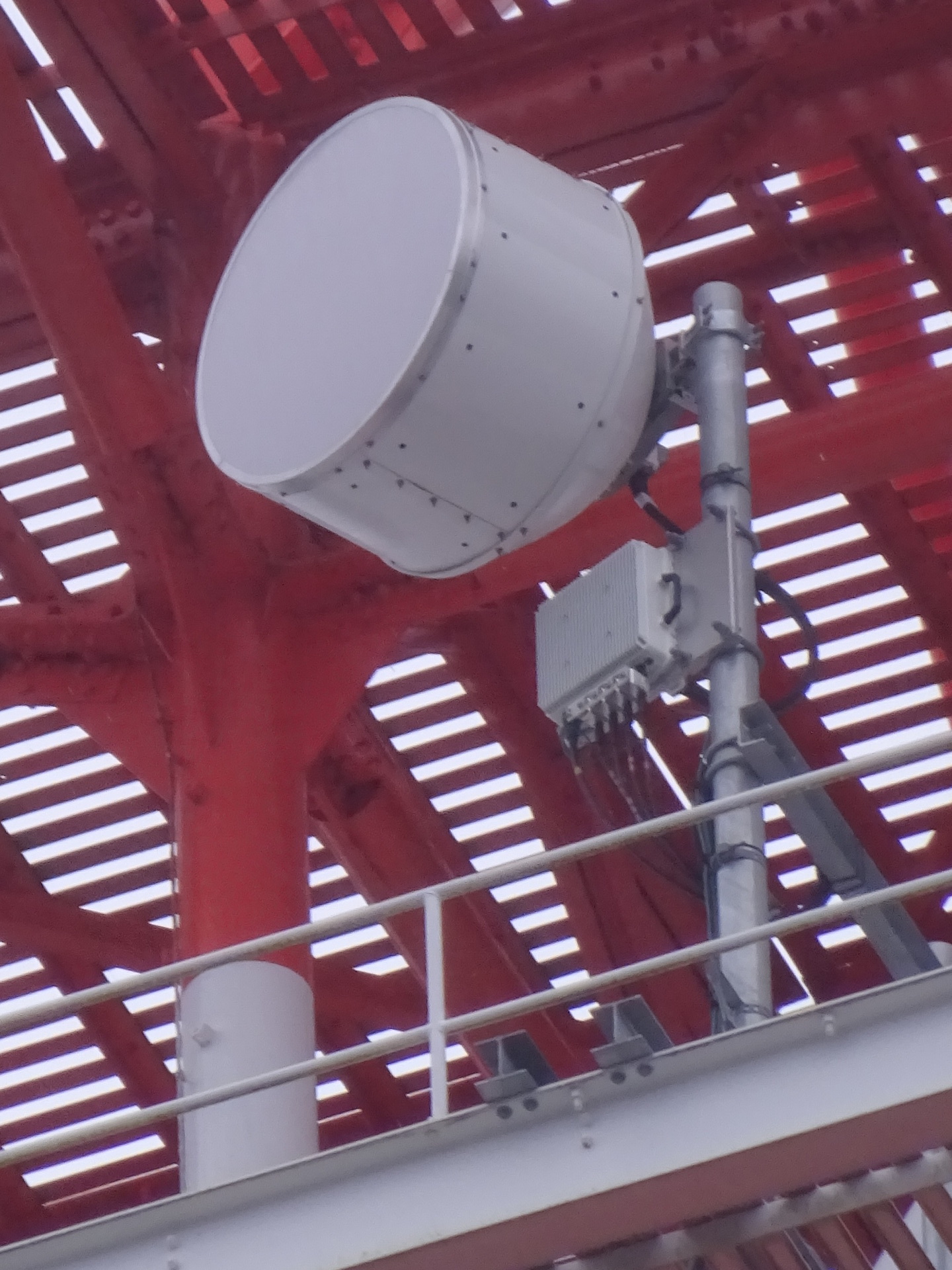
The larger one. An impressively large dish.
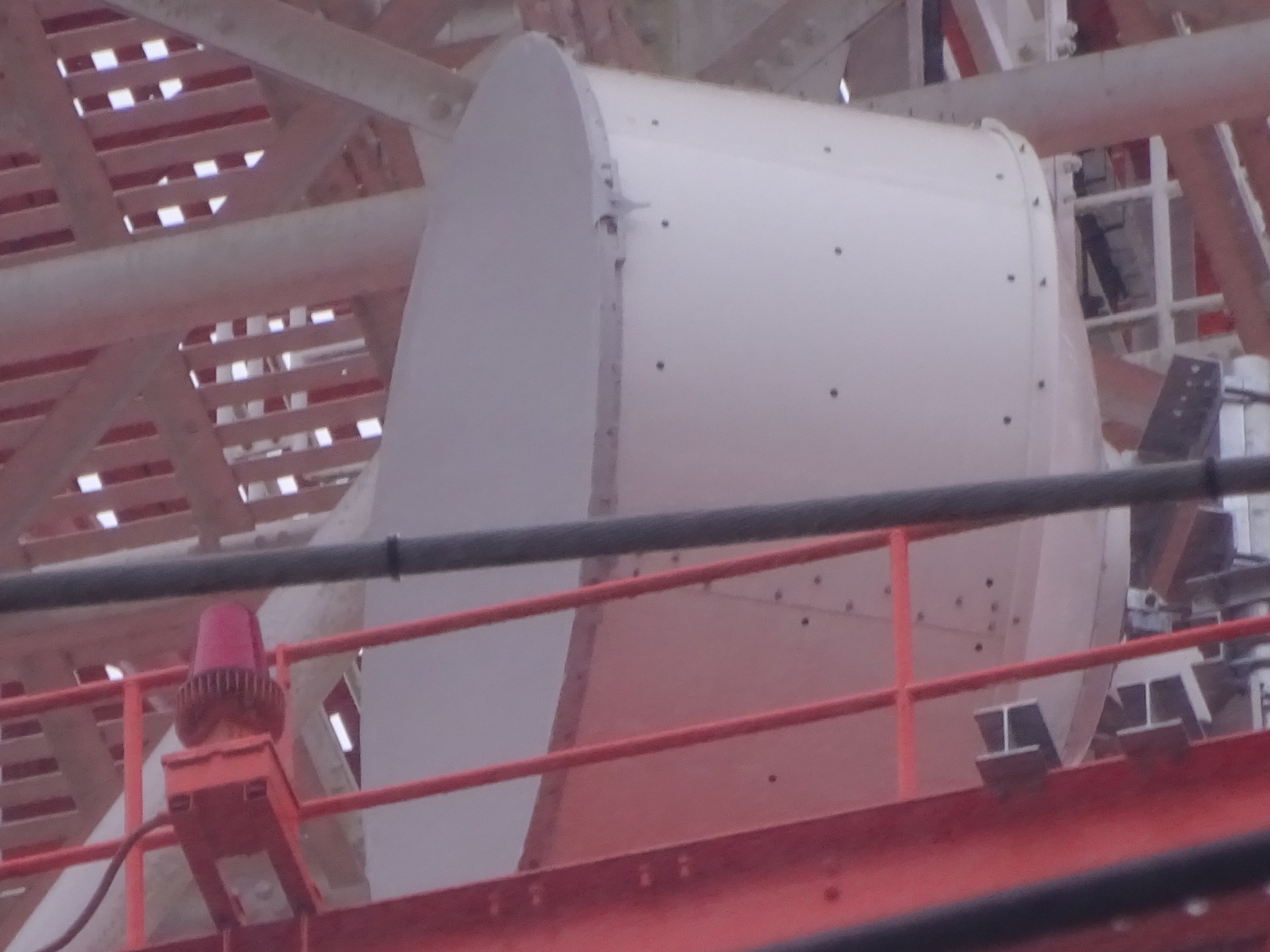
The smaller one.
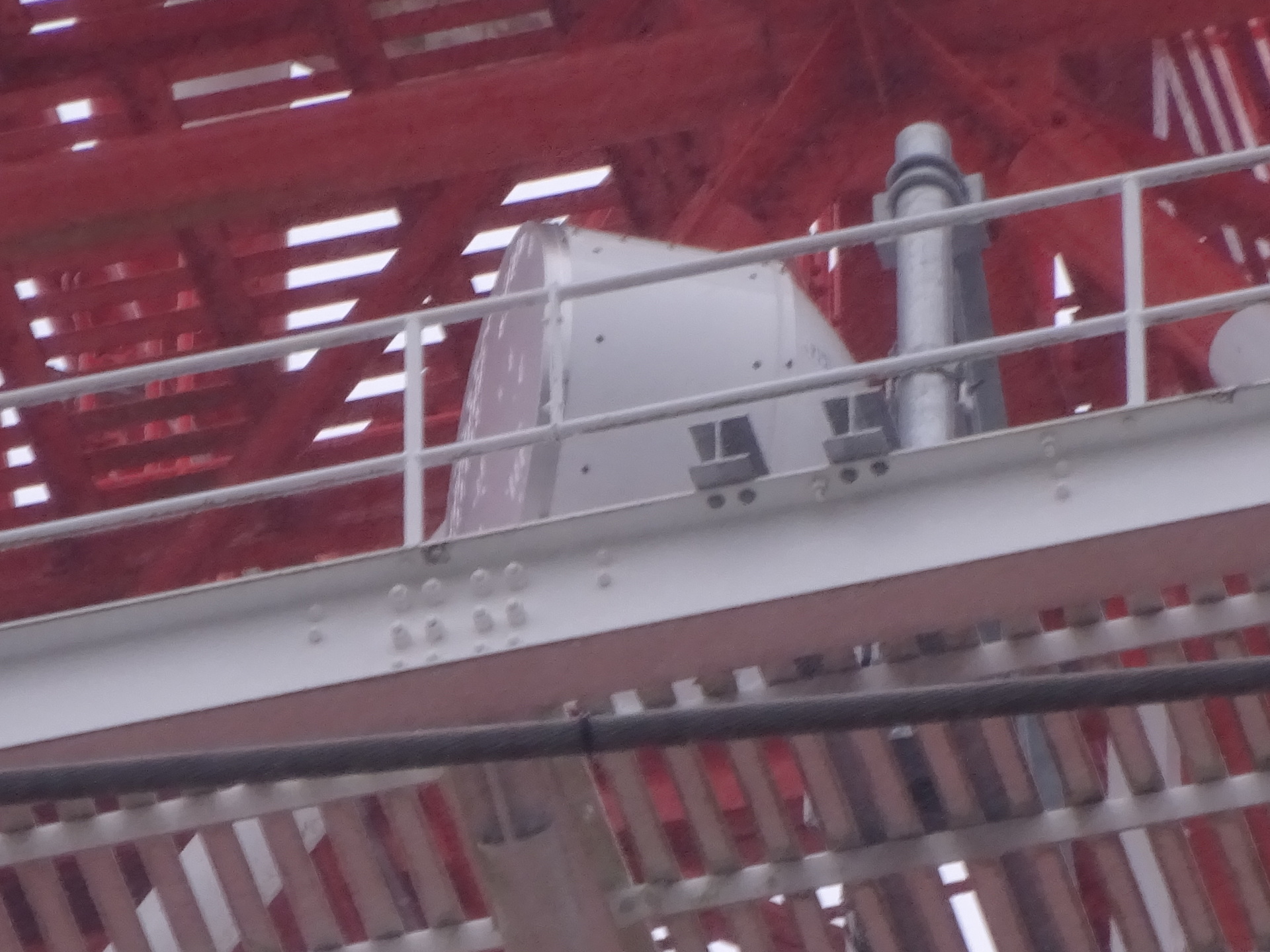
Bearing measurement. Perhaps this is roughly straight in front of it.
Yes, it points south-southwest.
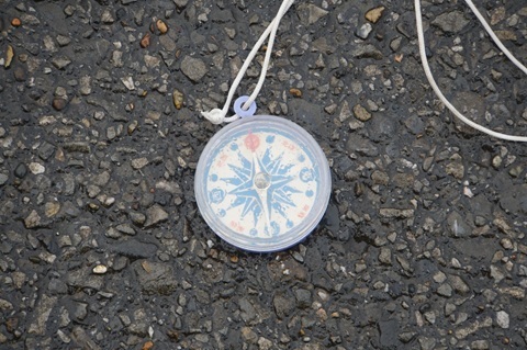
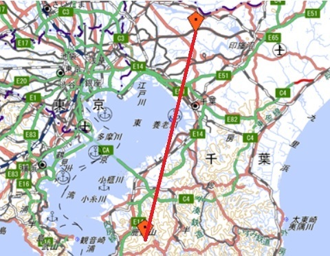
Calculating it gives a distance to Kanozan…
https://www.google.com/maps/@35.253135,139.9635867,52m/data=!3m1!1e3
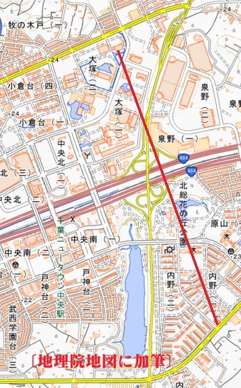
…of 61.8 km.
[Annotations added to ‘Calculation of distance and azimuth’
https://vldb.gsi.go.jp/sokuchi/surveycalc/surveycalc/bl2stf.html
.]
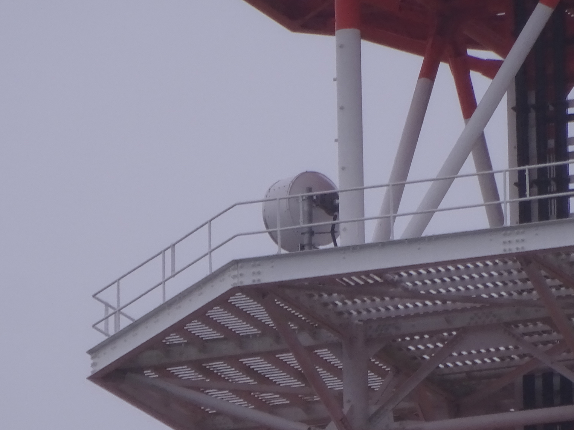
Antenna towards the data centre (SCSK SI1)
This is the one towards the data centre.
Moved to the northwest side. The whole station building.
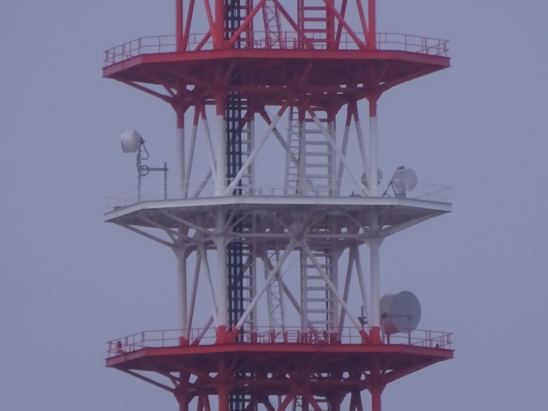
The white platform second from the bottom.
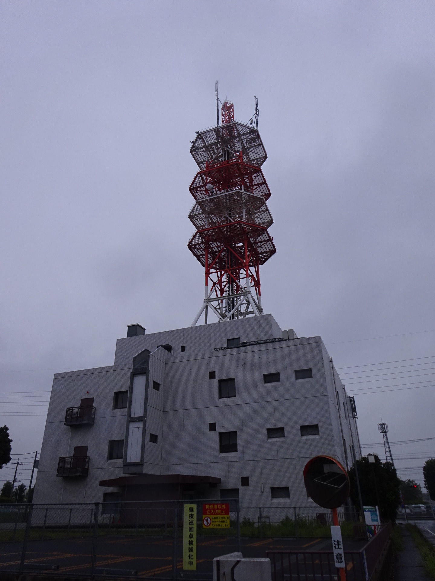
Zoomed in.
The building that looks as though it might obstruct the path is Cainz, beneath the map label ‘Izumino (1)’.
But the building is low, so the path clears it easily.
SCSK SI1
Checking again whether the antenna is the same as the one at the NTT end.
Let’s walk the distance covered by 5 mW. It takes forty minutes.
Coming into view: the one on the left, western side.
The same antenna. Quite deep front to back.
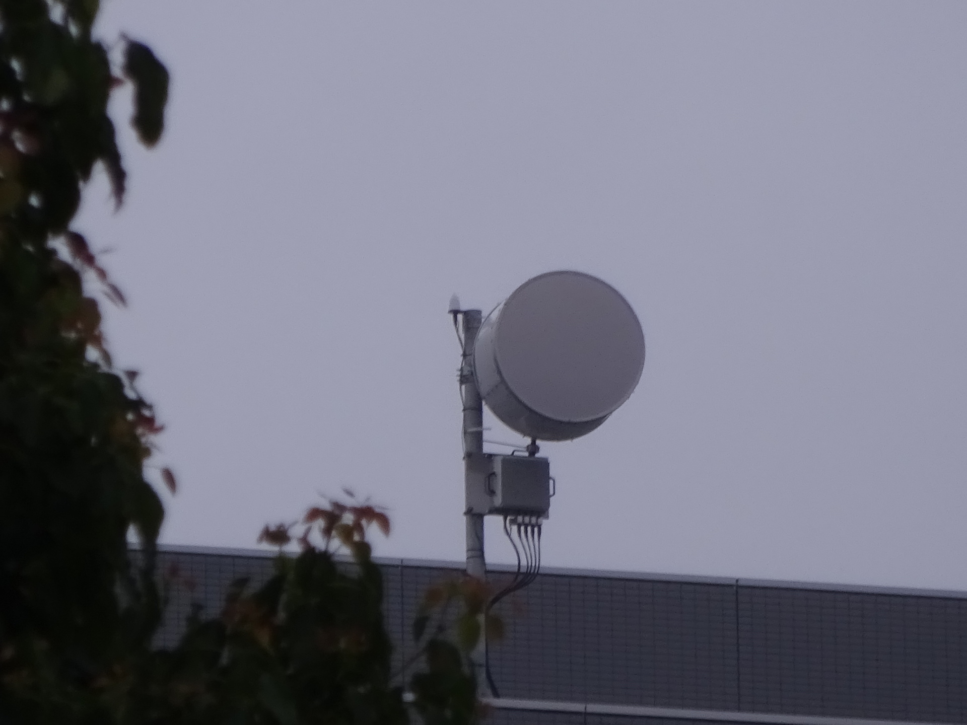
See.
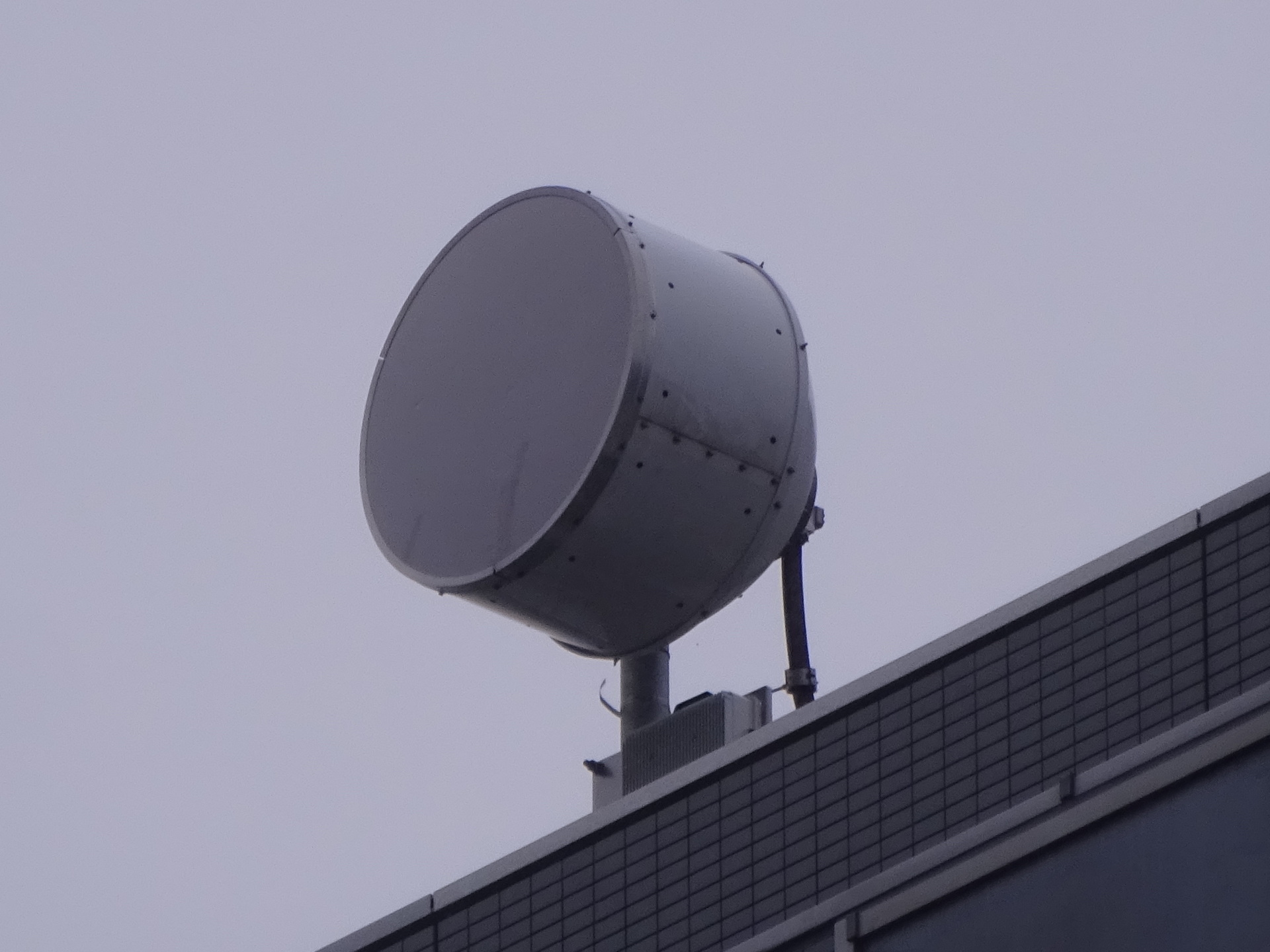
So, in Inzai, both High Bar Communications and Josada Telecom ended up at SCSK SI1.
Homeward, triumphant
Business Mall Chuo 7:38 → Chiba New Town Chuo Station North Exit 7:41.
Chiba New Town Chuo 8:00 → Mita 9:03.
Time to go home.
An enormous carp.
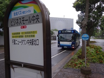
Business Mall Chuo.
There happens to be a bus, so I take it.
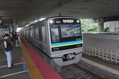
Chiba New Town Chuo.
Letting the train terminating at Shin-Kamagaya go and taking the Nishi-Magome service.
Expenses
¥1,151 — Toei Subway / Keisei / Hokuso, Mita → Chiba New Town Chuo
¥190 — bus, Business Mall Chuo → Chiba New Town Chuo Station North Exit
¥1,151 — Hokuso / Keisei / Toei Subway, Chiba New Town Chuo → Mita
――――――――――――――――――――――――――――――――――――
¥2,492 — total
Overall conclusion
Fortunately, I was able to identify it just three days after publication of the licence information and nine days after the licence was issued.
That should clear the entire backlog, including High Bar Communications.