JA/ME-011 becomes a walk around Yunoyama Onsen
Original: Ryota / JJ1WTL — 500694483 · Original Japanese HTML
Published: 2023-09-10
English translation of the archived article text. The author’s first-person observations, uncertainty and later additions are preserved; this is not the research summary. Image contents are preserved as images, not silently incorporated into the translated prose.
Mount Gozaisho: the plan collapsed because the ropeway was suspended. I combined the trip with a search for the western end of JOSADA TELECOM’s microwave route.
Conclusion: JOSADA TELECOM route map
For JOSADA TELECOM, ‘a proven provider of ultra-low-latency private wireless bandwidth and microwave market data’, I identify the westernmost end as piggybacking on NTT West's Yokkaichi Motoshinmachi building. Click to enlarge, 1.2 MB.
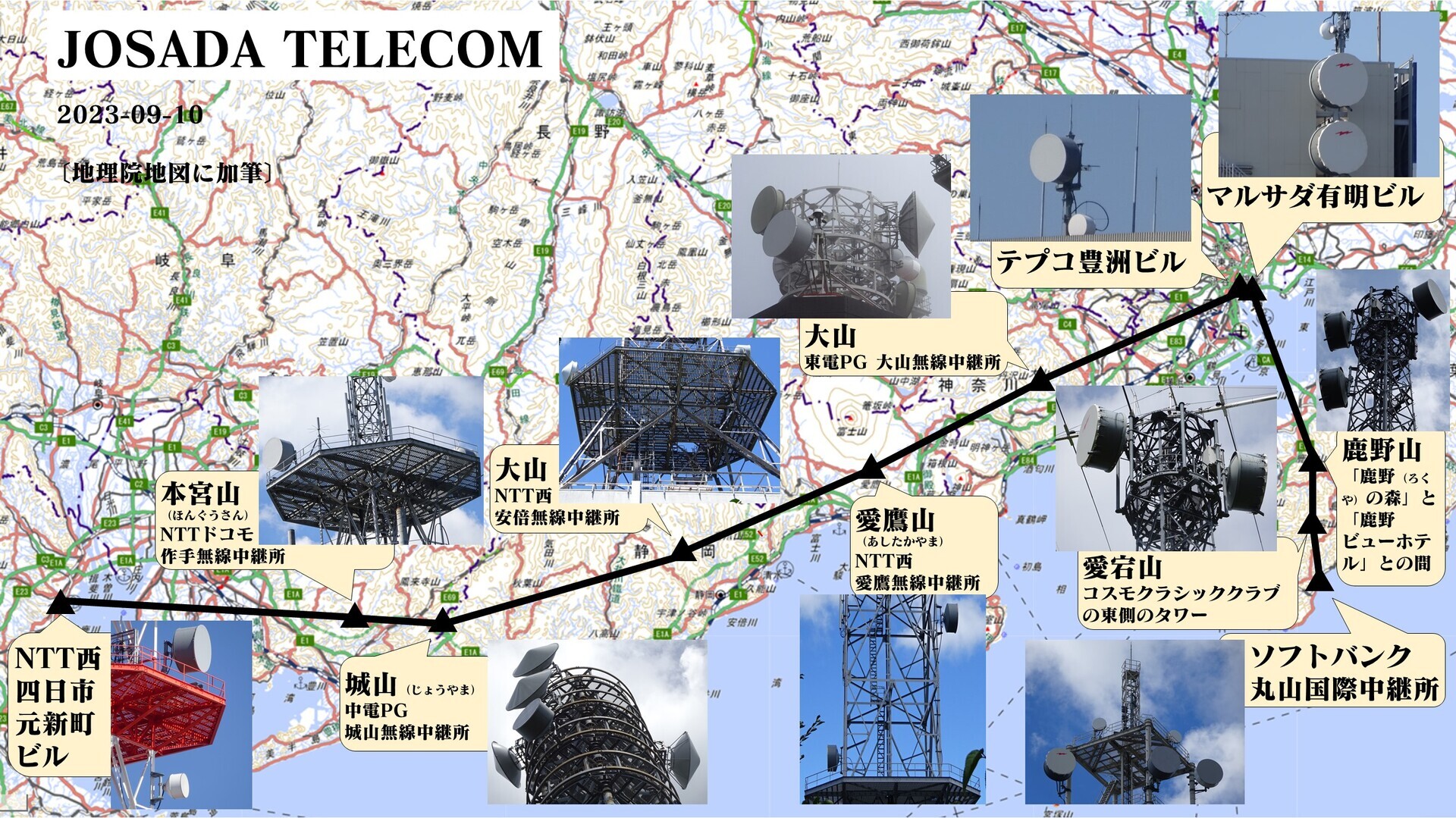
JOSADA TELECOM in Radio Station Information Search: eleven stations in total. https://www.tele.soumu.go.jp/musen/SearchServlet?SC=1&pageID=3&SelectID=5&CONFIRM=0&OW=FX+0&HZ=3&NA=1010401114875&SK=2&DC=100#result
To the site
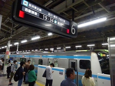
Saturday, September 9. Tamachi 4:49 → Higashi-Kanagawa 5:17 / 5:18 → Shin-Yokohama 5:27 / 6:03 → Nozomi 491 → Nagoya 7:18 / 7:43 → Rapid Mie 51 → Yokkaichi 8:16. Kintetsu-Yokkaichi 9:05 → Yunoyama-Onsen 9:35. Kintetsu Yunoyama-Onsen Station 9:45 → bus → Yunoyama Onsen / Gozaisho Ropeway 9:54. Tamachi: the first westbound Keihin-Tohoku train.
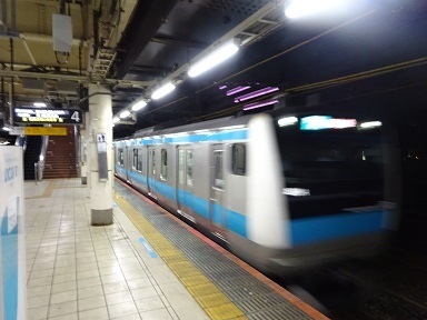
Cross-platform transfer at Higashi-Kanagawa.
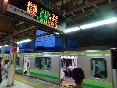
Shin-Yokohama. Nozomi 491 is running today, so I take it; marked ♦ in the timetable. It overtakes the originally planned 6:00 Hikari 533 before Nagoya. The unreserved seats in car 3 are about 40–50% occupied.
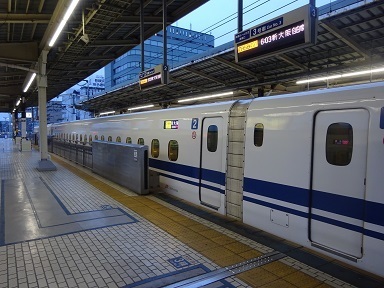
Rapid Mie, for the first time in about twenty years. Crowded as ever, with several people standing.
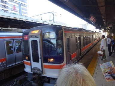
Yokkaichi.
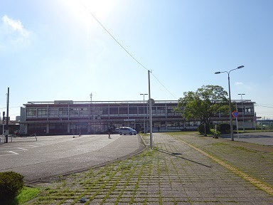
To Kintetsu-Yokkaichi, with a detour described below.
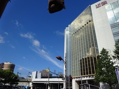
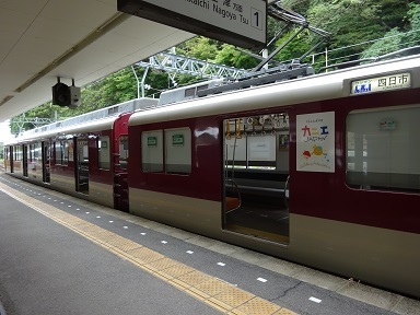
The Yunoyama Line.
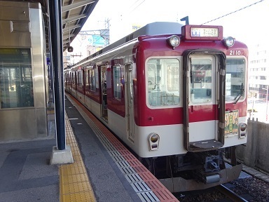
Arrived at Yunoyama-Onsen.
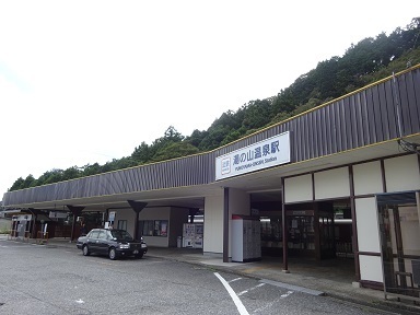
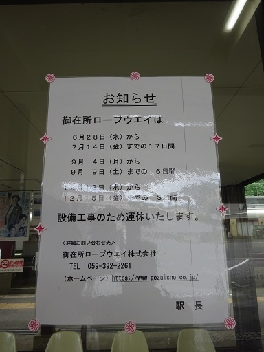
What, suspended today?!
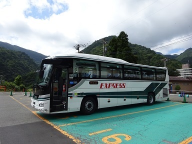
For now, I go to the foot of the mountain. With the ropeway closed, the buses are essentially off too. Apparently only the Mie Kotsu bus, normally originating in Nagoya, is running. Arrived.
A walk, then home
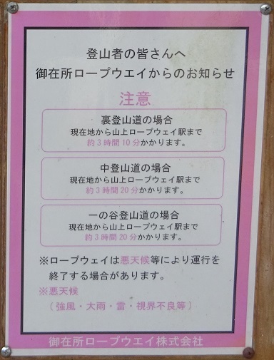
‘Three hours to walk up.’
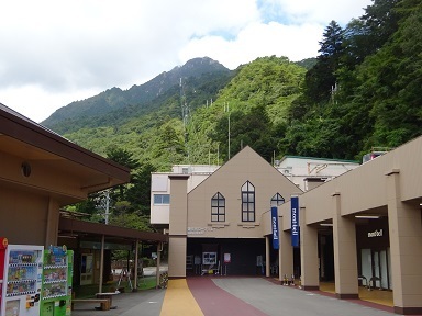
Indeed: the advertised walking time is three hours ten minutes, then another thirty minutes to the summit. The last bus is at 16:44. It is now 10:17. Retreat. ‘Endure today's humiliation for the sake of tomorrow. That is what makes a man.’ — Juzo Okita.
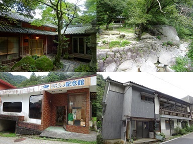
Following a car-park attendant's advice, I wander around Yunoyama Onsen for a while.
- Kotobukitei; 2. Oishi Park; the Tora-san memorial museum, which I found myself; 3. a keema-curry restaurant, Fuchi-to-Se.
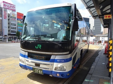
Then thirty minutes downhill to the station, arriving at 12:26. Yunoyama-Onsen 12:32 → Kintetsu-Yokkaichi 12:59 / 13:10 → express → Nagoya 13:43. Nagoya Station Shinkansen Exit 14:00 → express bus → Tokyo Station Nihombashi Exit 19:21. Yunoyama-Onsen.
Onto an express at Kintetsu-Yokkaichi.
Hurrying through Nagoya Station, with a toilet stop… Made it! Ticket purchase completed at 13:49. Shin-Tomei Super Liner No. 16. Nagoya Station Shinkansen Exit 14:00 → Michi-no-Eki Mokkuru Shinshiro 15:15–15:18, crew change → Enshu-Morimachi PA 15:46–16:01, first rest → Ashigara SA 17:27–17:42, second rest → Yoga 18:51 → Kasumigaseki 19:09 → Tokyo Station Nihombashi Exit 19:21.
The underground restaurant area at Tokyo Station was crowded, with queues, so I left.
Expenses
¥6,930 — JR basic fare, Tokyo wards → Nagoya. ¥4,180 — JR Shinkansen unreserved seat, Shin-Yokohama → Nagoya. ¥460 — Kintetsu, Yokkaichi → Yunoyama-Onsen. ¥400 — Mie Kotsu bus, Kintetsu Yunoyama-Onsen Station → Yunoyama Onsen / Gozaisho Ropeway. ¥1,030 — Kintetsu, Yunoyama-Onsen → Nagoya. ¥5,500 — JR express bus, Nagoya Station → Tokyo Station. ――――――――――――――――――――― ¥18,180 total. Zero QSOs, so… ¥∞ per station. orz.
Touring the transmitting towers
Including views from vehicle windows. Most of the counterparts are inferred.
JOSADA TELECOM
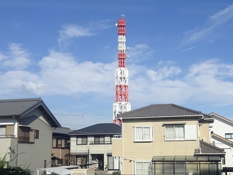
NTT West Yokkaichi Motoshinmachi building. https://www.google.co.jp/maps/@34.9679327,136.6274623,53m/data=!3m1!1e3 Walking from JR Yokkaichi Station. Apparently the old directions were invariably: ‘When you get off at the station, head for the tower.’ So an insider told me. It comes into view.
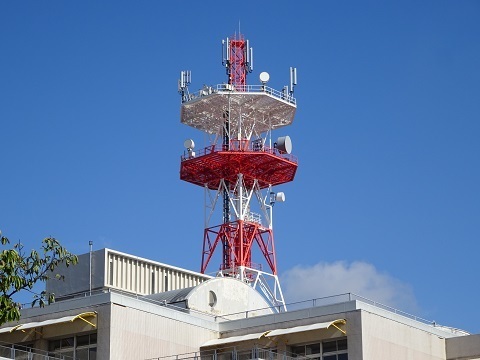
These long-bodied antennas probably belong to JOSADA TELECOM.
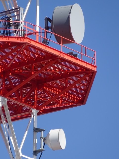
Let's record the other sides too.
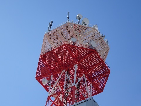
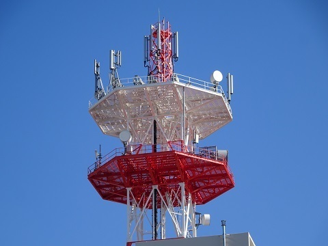
Does JOSADA TELECOM gain its advantage by crossing Ise Bay directly to Yokkaichi, then use wired connections onwards to demand in Osaka? Or is the aim a low-latency service between Shima's cable landing stations and Tokyo's customers? …In that case, rather than Hongusan → Yokkaichi, it would seem better to go south by microwave via Hongusan or Shiroyama → Atsumi Peninsula → Mount Asama.
MLIT Hokusei National Highway Office
From a JR train window, west of the line between Tomida and Tomidahama. https://www.google.co.jp/maps/@35.0016064,136.6504073,53m/data=!3m1!1e3 Counterparts:
- Right/northeast: Kiso River Lower Reaches Office, Kuwana City.
https://www.google.co.jp/maps/@35.078112,136.6869384,53m/data=!3m1!1e3
- Left/southwest: Yokkaichi National Highway Maintenance Branch Office.
https://www.google.co.jp/maps/@34.9478973,136.6056932,53m/data=!3m1!1e3
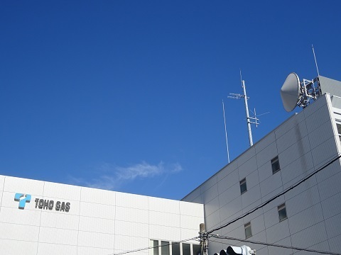
Toho Gas Yokkaichi office
In front of the JR station. https://www.google.co.jp/maps/@34.9637048,136.6284448,53m/data=!3m1!1e3 The counterpart is probably Mount Hase in Tsu City.
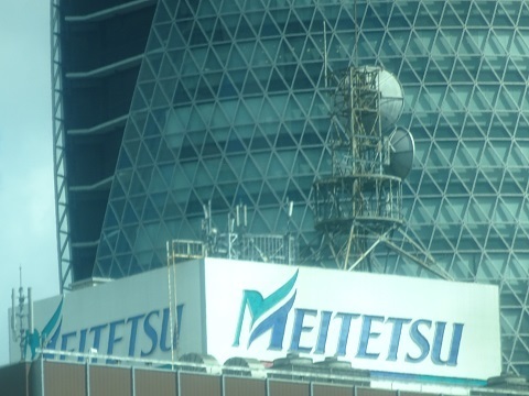
Meitetsu Nagoya Station
The following views are from the express-bus window. Seat 1A was still available, and I got it. Location: https://www.google.co.jp/maps/@35.1687328,136.8844021,40m/data=!3m1!1e3 Counterparts:
- Towards the back/southeast: Koryujiyama reflector,
https://www.google.co.jp/maps/@34.95498,137.2285352,40m/data=!3m1!1e3 then the Higashi-Okazaki radio relay station. https://www.google.co.jp/maps/@34.9507591,137.1654865,40m/data=!3m1!1e3
- Right/south: Higashiura radio relay station.
https://www.google.co.jp/maps/@34.9596766,136.9313215,40m/data=!3m1!1e3 See: https://jj1wtl.seesaa.net/article/498340240.html
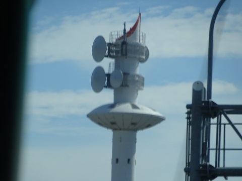
Nagoya City Minato Disaster Prevention Center
Joining the expressway at Sanno and heading south on Route 4. Conspicuous. https://www.google.co.jp/maps/@35.1083933,136.8853707,53m/data=!3m1!1e3
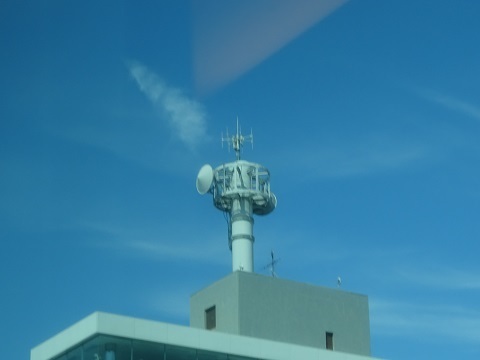
Toho Gas Gas Energy Exhibition Hall
Photographed looking back after passing it. https://www.google.co.jp/maps/@35.0623526,136.8973424,53m/data=!3m1!1e3 Counterparts:
- Tsurusato base.
https://www.google.co.jp/maps/@35.10238,136.9461467,53m/data=!3m1!1e3
- Minato Ward, Nagoya City.
Comments
Translated from the comments in the archived original HTML. Author names and timestamps are retained as displayed; these are separate from the article.
jm1ftk 与作 — 2023-09-11 09:09
This is my first comment. It has been eight years since I returned to amateur radio, and I have occasionally visited your site since then. I always find your writing simple, clear and concise, very easy to understand, and very educational. Reading your site again after a while made even a car person like me want to take a trip by train. I will continue quietly cheering you on.
JJ1WTL — 2023-09-11 17:55
TU VY MUCH. Public transport plus walking can be hard at times. For example, Hongusan the other day would have been directly accessible by car. Incidentally, we were caught in traffic for a while from around Ebina SA at 18:20.