Microwave routes — Chikura #2
Original: Ryota / JJ1WTL — 501339301 · Original Japanese HTML
Published: 2023-11-04
English translation of the archived article text. The author’s first-person observations, uncertainty and later additions are preserved; this is not the research summary. Image contents are preserved as images, not silently incorporated into the translated prose.
An operator of microwave links connecting Minamiboso’s cable landing stations with central Tokyo’s data centres has added another station. orz. Is this a painstaking search, an endless chase, or whack-a-mole? Here is unavoidable field visit number two. But I could not identify the site. Sorry for the long account below.
The additional station
Searching the fixed stations in Radio Station Information Search, I noticed that High Bar Communications had gained one station. Licensed September 1.
Interpreting Radio Station Information Search
Taking the results of the earlier investigations into account, it seems fairly certain that it connects to the following two sites. Click the diagram to enlarge:
- SoftBank Maruyama International Relay Station.
- Gotenyama station.

Especially when identifying individual stations within the same municipality, let’s exchange information using the DFCD identifier appearing in the detailed-search URL.
Re-examining the earlier investigation
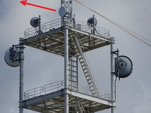
I reviewed the photographs from Chikura visit #1, on July 30. In a photograph of SoftBank's Maruyama International Relay Station tower from behind, on the south side, one dish points in a completely different direction: southwest. That must be it! KDDI has a cable landing station in that direction.
On a map
The aim this time is to identify the station marked ‘?’ and the links marked ‘…’ at the lower left. Click to enlarge.

Visiting the suspected locations—and defeat
The other cable landing stations seem the obvious suspects. Following the guidance of ‘List of submarine cable landing stations’, https://denwakyoku.jp/landingstation.html I set out to search.
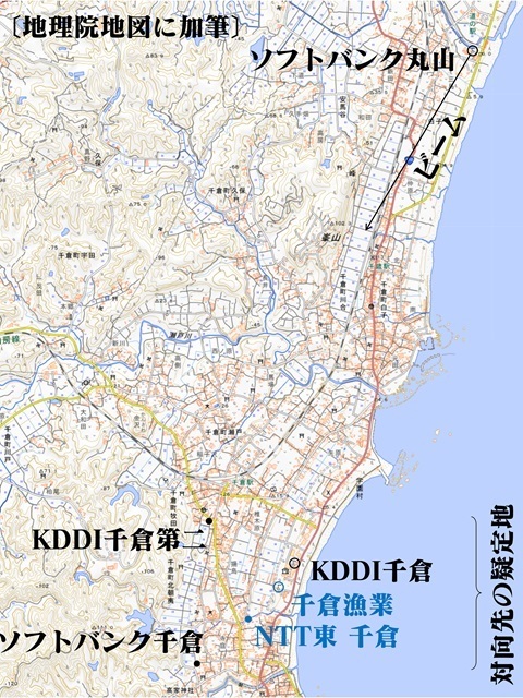
To the site
Friday, November 3, a public holiday. Tamachi 4:52 → Tokyo 5:01 / 5:21 → Kisarazu 6:40 / 6:47 → Chikura 8:13. Leaving Tamachi.
Onto a Kimitsu-bound train at Tokyo.
Changing at Kisarazu.
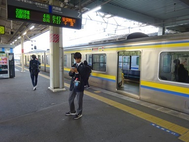
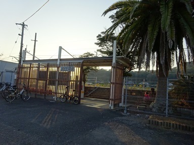
Arrived at Chikura. My first time here: last time I got off at Chitose and boarded at Minamihara.
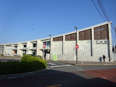
Now to search for dishes.
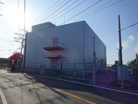
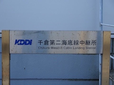
KDDI Chikura No. 2 Submarine Cable Relay Station
https://www.google.co.jp/maps/@34.9739973,139.9533202,53m/data=!3m1!1e3 Overall view… No dishes… Wrong guess.
The sign.
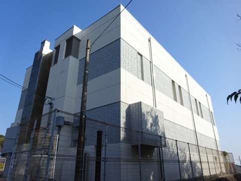
SoftBank Chikura Relay Station
https://www.google.co.jp/maps/@34.9636606,139.9524219,53m/data=!3m1!1e3 Overall view… No dishes… Wrong guess.
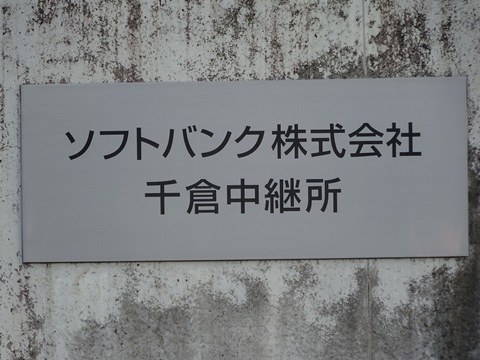
The sign.
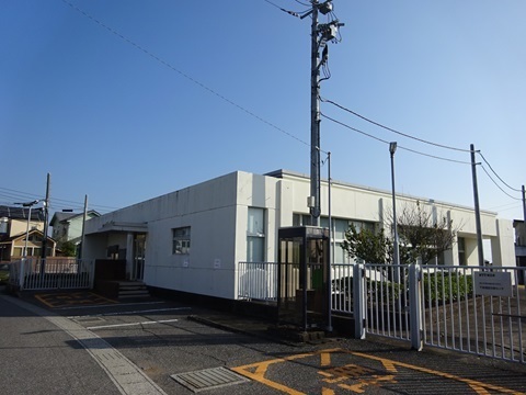
For comparison: NTT East Chikura Telephone Exchange
Lucky: it happened to appear along the road I was taking. https://www.google.co.jp/maps/@34.9673225,139.9565547,53m/data=!3m1!1e3 Overall view of the station building… No dishes… Wrong guess.
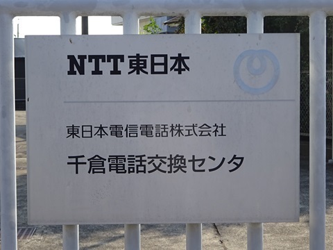
The sign.
For comparison: Chikura fisheries coast station
https://www.google.co.jp/maps/@34.9693829,139.9588429,53m/data=!3m1!1e3 Passing by. The information board.
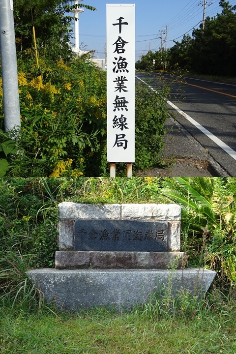
Two towers. The left, western one seems no longer to be used.
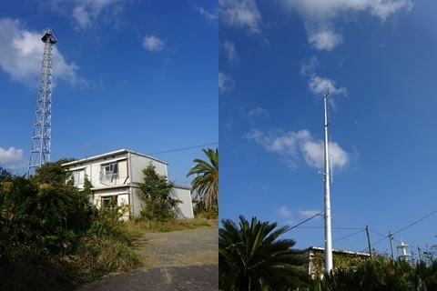
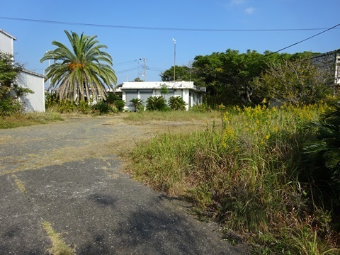
There is another building between the ones in the photograph above.
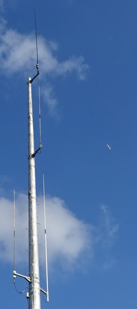
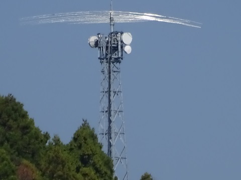
Close-up of the antenna currently in use. An aircraft too.
KDDI Chikura Submarine Cable Relay Station
https://www.google.co.jp/maps/@34.9709786,139.9603423,53m/data=!3m1!1e3 Overall view of the station… No dishes.
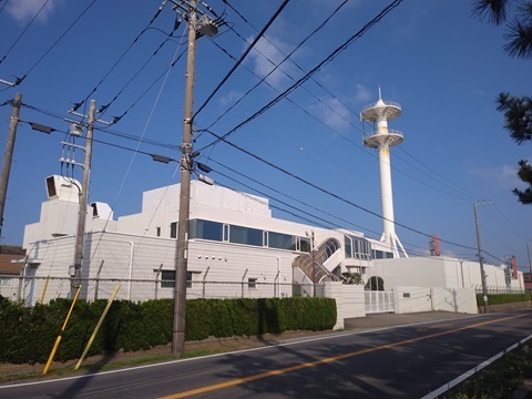
The sign.
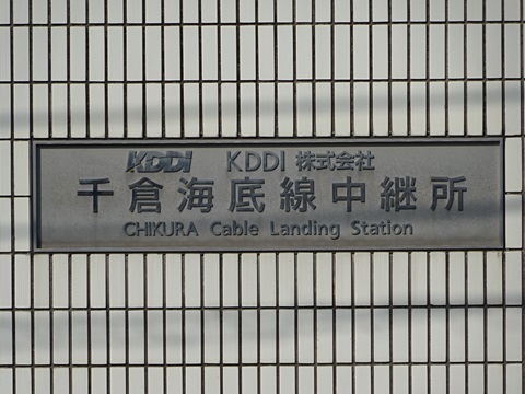
Checking the tower again. Zooming in on its platforms from the northeast, the SoftBank Maruyama side. …No dishes… Defeat confirmed. orz.
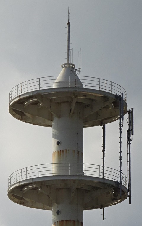
…Retreating—or rather, moving to another front.
Revisiting Gotenyama station
Since this is one end of the new station’s links, perhaps something has changed? I decide to go a little farther and look.
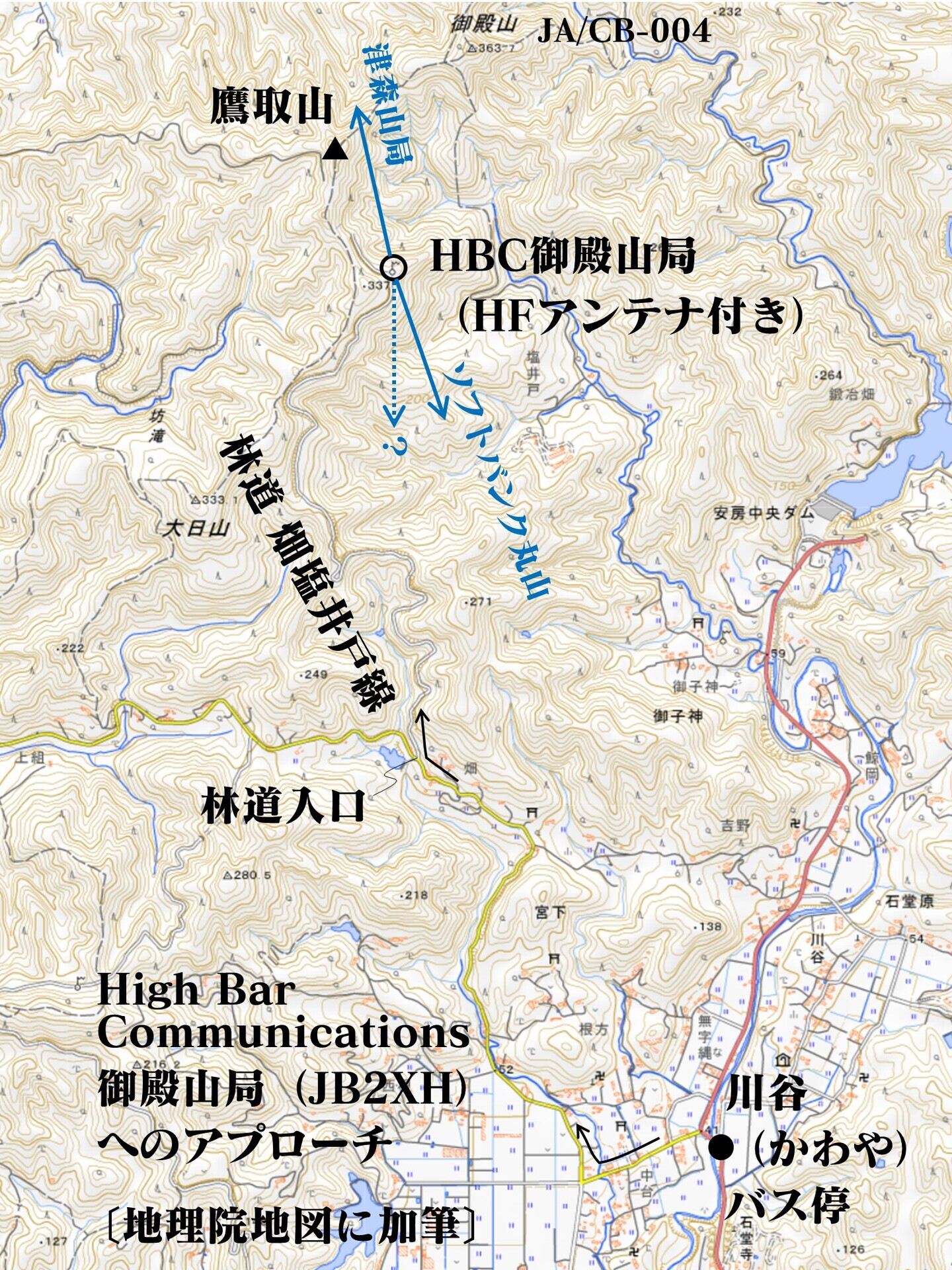
This is also where the experimental digital HF fixed-station antenna, JB2XH, is mounted. I will also check whether people wanting to visit can approach by car. On the previous visit, May 27, I came over the mountain from the north, along a hiking trail. That trip combined exploration of other microwave stations with a SOTA activation.
A map summary; click to enlarge.
Moving to the next front
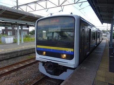
Back to Tateyama by train, then a bus to the terminus, the closest stop to Gotenyama station, and walking from there: Chikura 10:08 → Tateyama 10:20 / 10:30 → bus → Kawaya 11:10. Leaving Chikura.
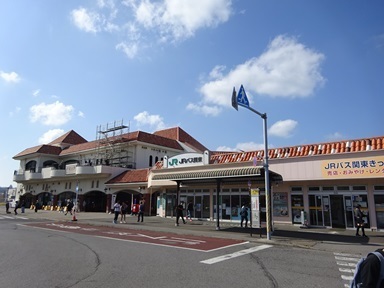
Arrived at Tateyama, for the first time in my life.
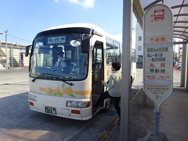
Onto the Maru Line bus.
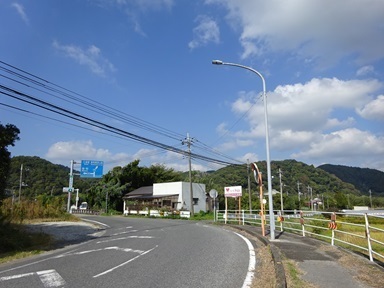
The terminus, Kawaya. On foot from here.
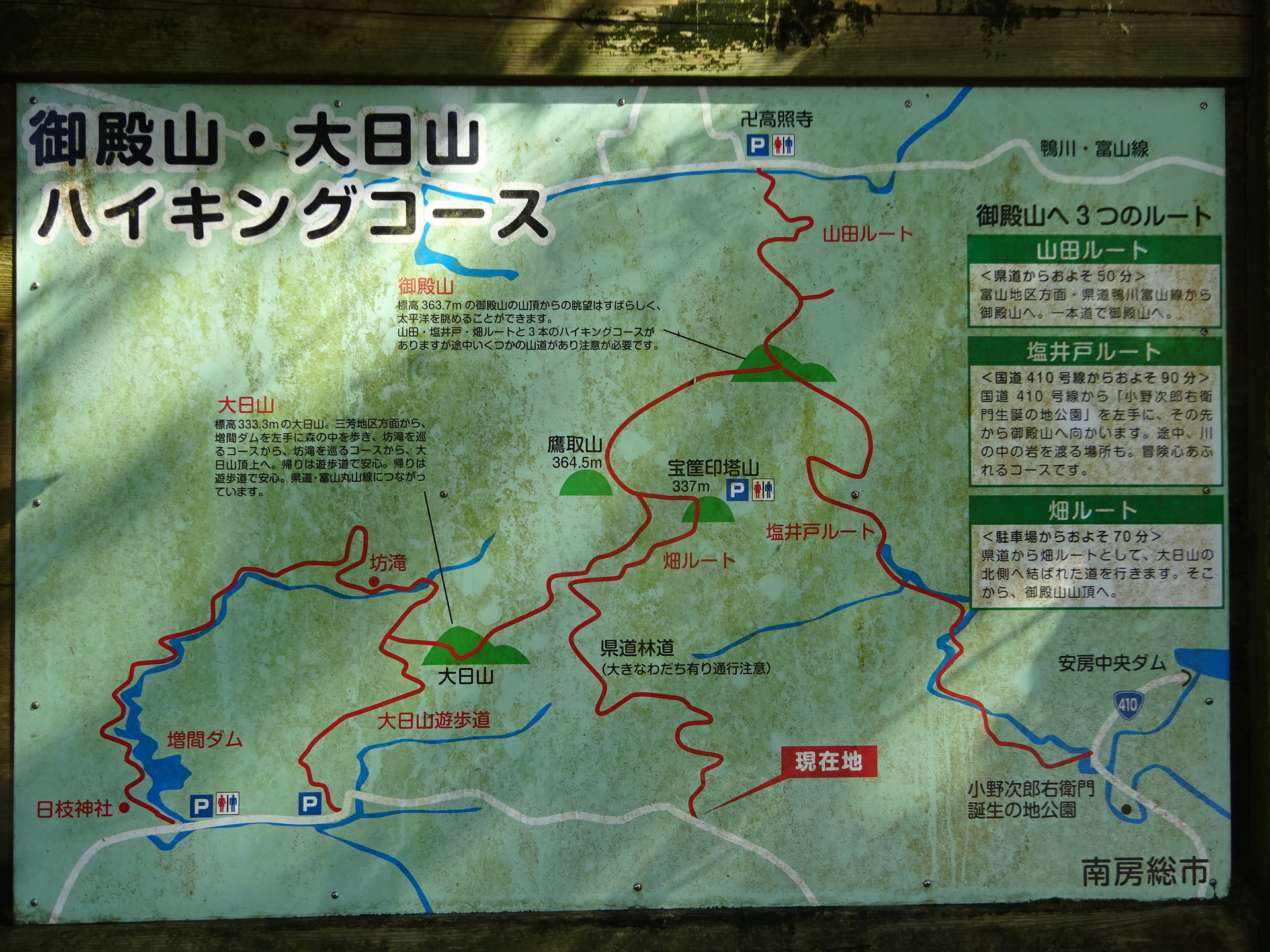
The forest-road entrance, reached at 11:40. Click to enlarge. A cone says ‘Road closed’.

A map for hikers; click to enlarge. Interpreting this to mean that pedestrians may pass, I go in.
After about twenty minutes… There it is!
Look:
Arrived at 12:18; click to enlarge.
Location: https://www.google.co.jp/maps/@35.0819572,139.9447594,53m/data=!3m1!1e3
Forest-road conditions
To approach this magnificent log-periodic on four wheels, I think you would need a kei truck or something in the Jimny class. Another option would be to leave the car near the forest-road entrance and walk for thirty to forty minutes. The hikers' map above explicitly warns: ‘Deep ruts: proceed with caution’. These photographs select the worst sections of road; the whole route is not this dreadful.
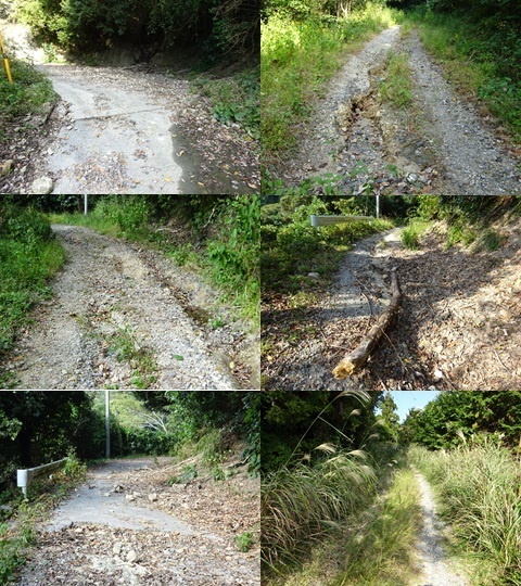
A motorcycle might manage it. People like Mr Sekiguchi of Radio Life, who enjoy both forest-road riding and radio, should certainly pay a visit. Off-road riders have written about tackling this dirt road. Try searching for the Hata–Shioido forest road. For example: https://tripoo-net.com/motorcycle/rindomap/34237/ Video: https://www.youtube.com/watch?v=uDMO_8MedjU
Conditions at Gotenyama station
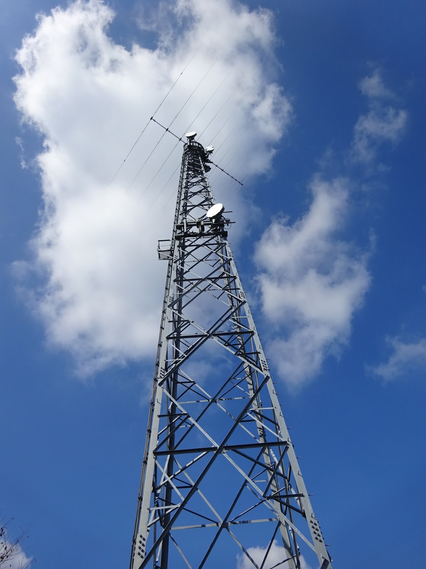
Sure enough, the arrangement has changed. Look at the dish halfway up the tower. In the photographs below:
- Top: photographed May 27; mounted on the west, or left-hand, mast.
- Bottom: photographed November 3; mounted on the east, or right-hand, mast.
The dish shape has also become the type commonly seen at HBC.
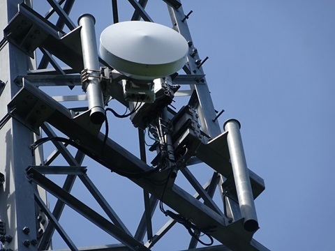
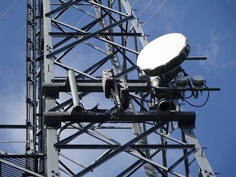
Which way does the new dish point?
In the earlier ‘Arrived at 12:18’ photograph, which I intended to take straight on to the tower towards south-southeast, if we interpret:
- Top: towards SoftBank Maruyama International Relay Station.
- Middle: towards the new station.
then we can estimate that the new beam points:
- Farther west than SoftBank Maruyama International Relay Station; in other words,
- Almost due south.
The bearing towards SoftBank Maruyama International Relay Station is 161.9°. Using:
- 35.082014,139.944869 — Gotenyama station.
- 35.005834,139.975124 — SoftBank Maruyama International Relay Station.
Calculated with: https://vldb.gsi.go.jp/sokuchi/surveycalc/surveycalc/bl2stf.html The distance is 8,891 m.
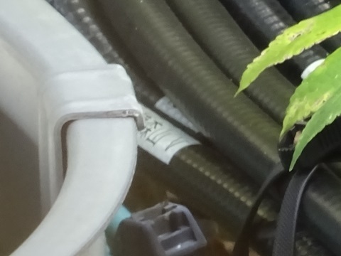
Trying to read the labels
Trying the technique I learned after the last visit. But the foliage obscures them; I can just make out ‘Tsumoriyama V’.
The counterpart: SoftBank Maruyama International Relay Station
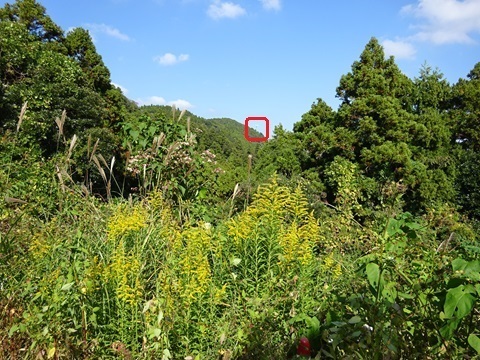
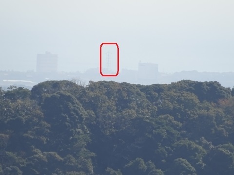
A distant view. Hazy today. Well then, let's do our best to walk over there: 8,891 m in a straight line. orz. It is now 13:00. The return bus leaves Kawaya at 15:20, too much of a gap. I will make good use of the time.
A new log-periodic appears!!
Strolling along, I have come quite close to SoftBank Maruyama International Relay Station. A casual glance to the northeast…
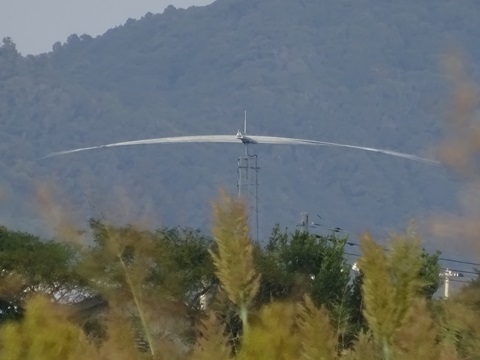
Photographed at 15:11. After getting home, I looked in that direction on Street View, and there it was. Fortunately, the images were taken in August 2023. They show that:
- The antenna is by Create Design.
- The installation work is by JESCO.
Street View: https://www.google.co.jp/maps/@35.0177112,139.9836837,3a,60y,319.2h,97.97t/data=!3m6!1e1!3m4!1so6PAZirnb2aMW6V-zEtgtg!2e0!7i16384!8i8192 The location is Kaihotsu, Wada-cho, Minamiboso City: https://maps.gsi.go.jp/#18/35.017979/139.983428/&base=std&ls=std&disp=1&vs=c1g1j0h0k0l0u0t0z0r0s0m0f1&d=m https://www.google.co.jp/maps/@35.017979,139.983428,53m/data=!3m1!1e3 Could this instead be 4HF's JS2SA station?? Rather than the antenna piggybacking on JOSADA TELECOM's tower at Cosmo Classic Club? https://www.google.co.jp/maps/@35.1114776,139.9555731,53m/data=!3m1!1e3 …For Further Study.
Revisiting SoftBank Maruyama International Relay Station
Left Gotenyama station at 13:03; arrived at SoftBank Maruyama International Relay Station at 15:22. I have walked another* microwave hop.
- Last time, on Chikura visit #1, it was SoftBank Maruyama International Relay Station → the provisionally named Mihara station.
Location: https://www.google.co.jp/maps/@35.0057653,139.9753474,106m/data=!3m1!1e3
Examining the tower
The north side appears unchanged. Click to enlarge.

The south side also appears unchanged. Click to enlarge. I intended to photograph it straight on. The suspicious dish is on the right of the top platform, facing this way.

Close-up of the suspect dish. I think it points roughly along the tower leg: south-southwest. But as noted above, I could not pin down the counterpart site. orz.
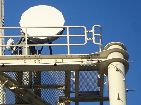
Maintenance in progress
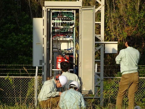
Racks at the base of the tower. Probably one set for each company.
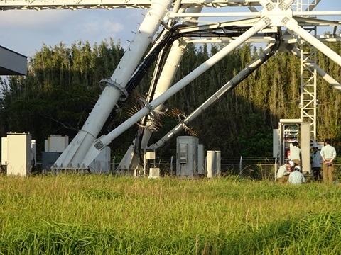
In the evening light, one company seems to be doing maintenance. Thank you for working on a holiday.
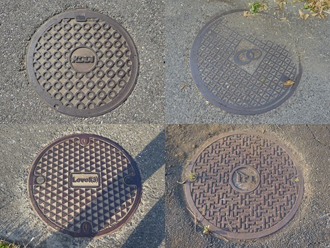
I took the opportunity for a little educational observation. All three photographs below can be enlarged; do not expect sharp focus.


A collection of manhole covers
Some nostalgic company names… Do not dig without permission around here. Top left: KDDI. Top right: Japan Telecom. Bottom left: Level(3). Bottom right: International Telecom Japan, ITJ—the ‘0041’ company from Masakazu Tamura's advertisements.
Returning home
Walking from SoftBank Maruyama… Crossing the 35°N line; I turned around to photograph it with the light behind me.
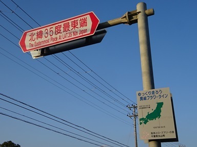
To Chitose Station in Minamiboso City.
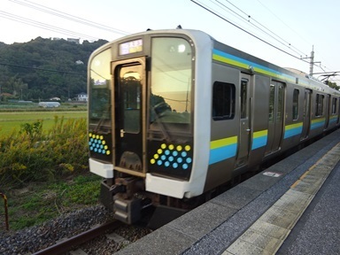
The 16:22 departure for Kisarazu.
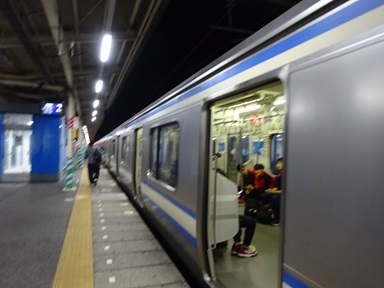
Changing at Kimitsu. The 16:37 departure for Ofuna. Then changing at Shimbashi; home at 20:00 after a meal. [Times as written in the source.]
Expenses
¥2,310 — JR, Tamachi → Chikura. ¥242 — JR, Chikura → Tateyama. ¥640 — Nitto Kotsu bus, Tateyama Station → Kawaya. ¥2,640 — JR, Chitose → Tamachi. ―――――――――――――――――――― ¥5,832 total. [The source prints ‘5.832’.]
Comments
Translated from the comments in the archived original HTML. Author names and timestamps are retained as displayed; these are separate from the article.
杜 — 2024-11-03 02:43
I work in transmission and often visit SB Maruyama and KDDI Chikura. I had previously been looking for this microwave route. Most of these routes are built by financial companies. I think a link from the relay station to the TEPCO Toyosu Building could transmit in 0.5 ms by microwave, compared with 1.8 ms over fibre. I would like to build a route like this, but the investigation is quite troublesome. This blog is very helpful. However, looking at the map, I wonder whether a dish is needed at Umihotaru. Mother Farm to the TEPCO building is 42 km in a straight line, and I wonder whether the microwave signal would be attenuated considerably.
杜 — 2024-11-03 03:23
TEPCO Kisarazu branch. 3-chome-13-40 Kaifuchi; it is called Kisarazu West Relay Station. For optical transmission, this is a relay point towards the Aqua-Line. There seems to be a dish pointing towards Tokyo Bay.
JJ1WTL — 2024-11-06 22:39
杜-san, (1) The latest route map is here: https://jj1wtl.seesaa.net/article/504743524.html (English translation) There are no relay stations between Mother Farm and downtown Tokyo. Instead of that, the carriers adopt "space diversities" for the long distance links over Tokyo Bay. (2) The parabola antenna on the tower of TEPCO Kisarazu-branch is for their internal use. It is connected not to any datacenters but to Sodegaura Power Station: https://jj1wtl.seesaa.net/article/202108article_13.html