Microwave routes (Ushiku)
Original: Ryota / JJ1WTL — 521173162 · Original Japanese HTML
Published: 2026-07-20T17:44:00+09:00
English translation of the archived article text. The author’s first-person observations, uncertainty and later additions are preserved; this is not the research summary. Image contents are preserved as images, not silently incorporated into the translated prose.
Part three of the search for High Bar Communications’ northward route.
Just back from KANHAM, I decided not to overdo it and checked nearby Ushiku, shown in red in the diagram.
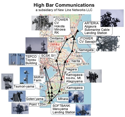
Desk research
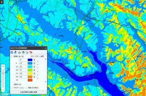
High ground where a station might be placed
Looking at Ushiku’s terrain, the eastern edge of the city looks promising. [GSI map: custom colour-coded elevation map.]
That also agrees with the bearing measured from Inzai.
The bearing from Inzai
Looking from Inzai, it was northeast.
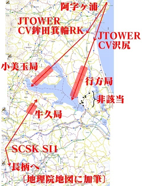
Correction: Omitama’s position was wrong in this diagram. Sorry.
The plan
I located the towers in this area in advance using Street View.
I will visit them in sequence.
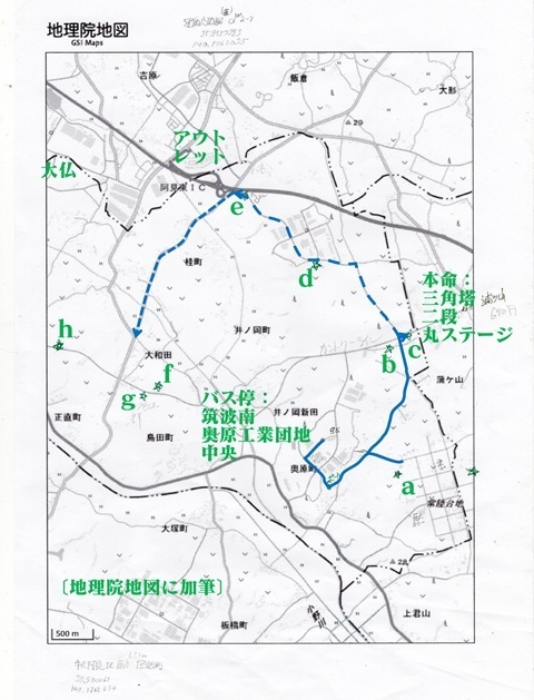
The leading candidate is tower c, a triangular tower with two circular platforms.
To Ushiku
Monday, July 20, a public holiday. Timing the journey to catch the first bus.
Tamachi 5:53 → Ueno 6:09 / 6:31 → Hitachino-Ushiku 07:26.
Inashiki Area Regional Bus: Hitachino-Ushiku Station 7:55 → Tsukuba-Minami Okuhara Industrial Park Central 8:24.
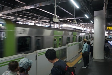
Tamachi. Jumping aboard.
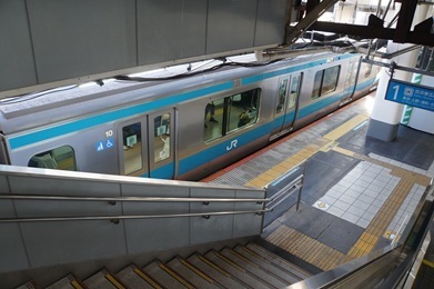
Construction of the new Haneda line.
A set of points has been placed on the third track from the back. Click to enlarge.
For trains to and from Haneda, the branch towards the back will descend underground. Excavation has not started yet.
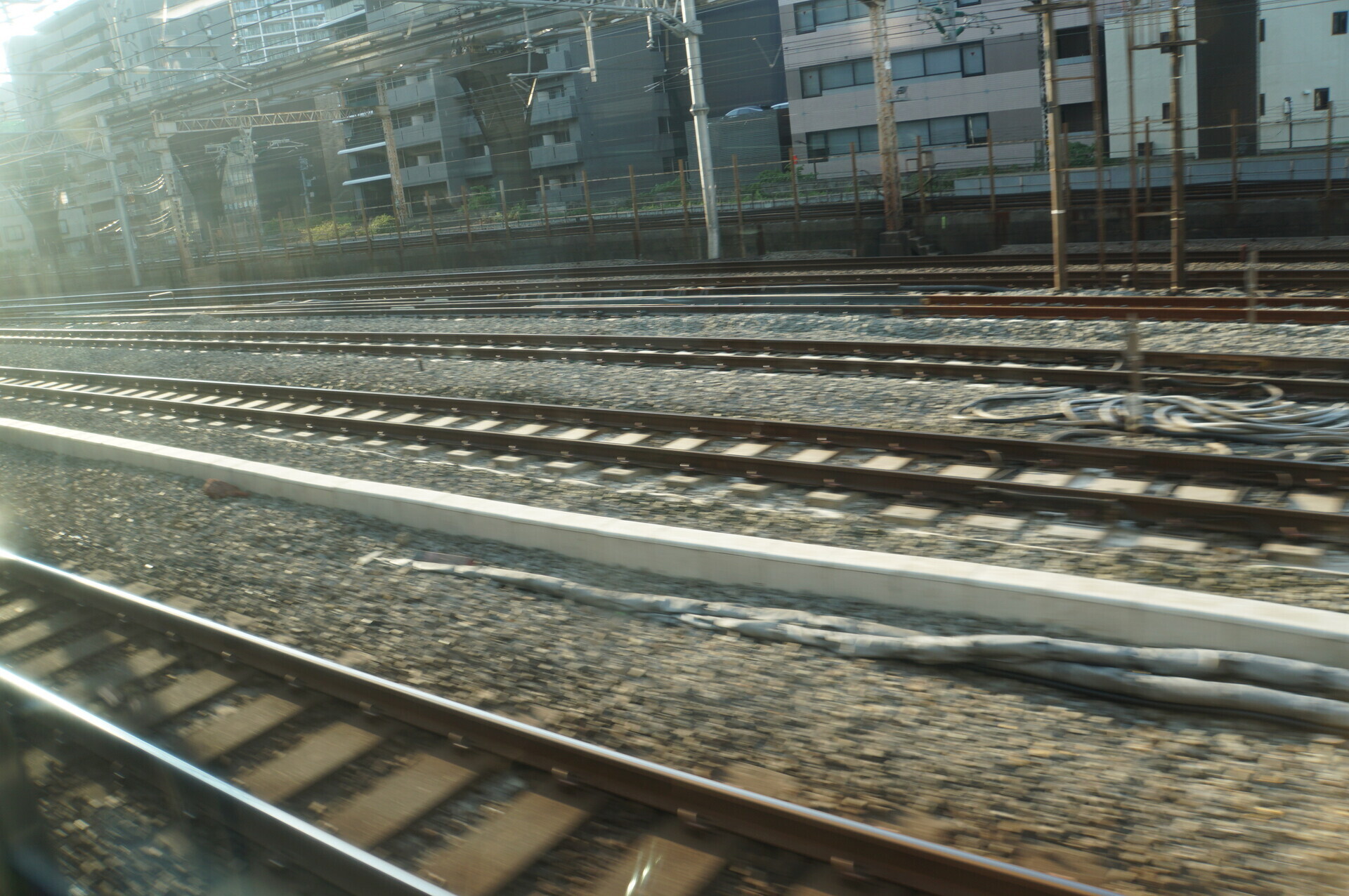
Ueno.
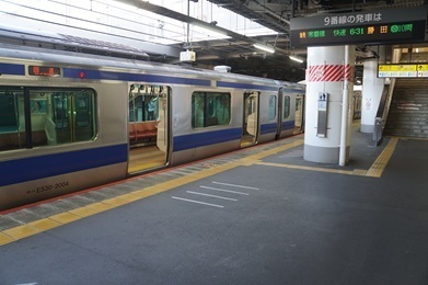
Arrived. The station building spans the tracks. Checking every tower in sight.
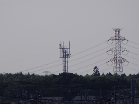
Not being able to see a tower with dishes from the station is a good sign: evidence that my reading of the situation is right.
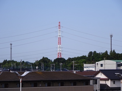
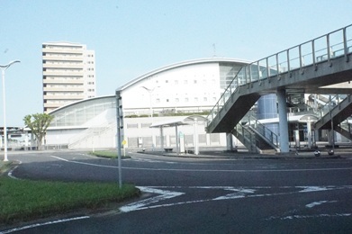
The exterior of Banpaku-Chuo Station. Impressive.
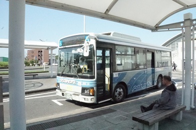
The bus has arrived.
Checking from the bus window too!
A brief stop at Okuno Lifelong Learning Centre. Adjusting to the timetable, perhaps?
This was g, as I confirmed after getting home.
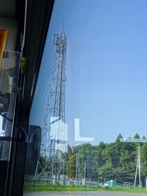
The one visible on the opposite side was f.
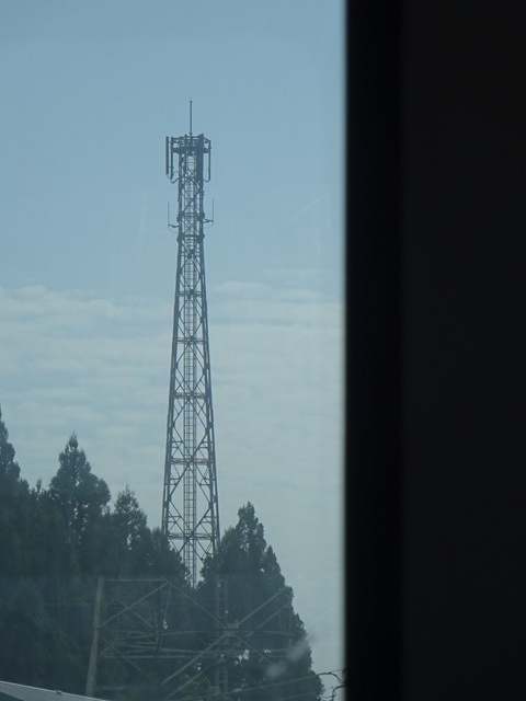
Arrived: Tsukuba-Minami Okuhara Industrial Park Central.
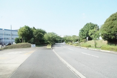
Starting the search
Tower a
Visible between the factories.
A miss.
So I abandon the approach and head north, directly towards the group of towers b and c.
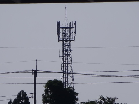
Tower c
The leading candidate comes into view… Wrong guess. orz
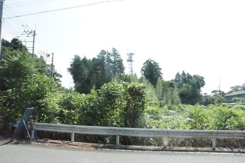
Since I am here, I approach anyway.
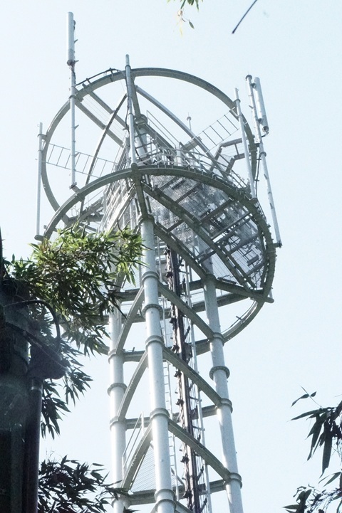
The station name is unknown.
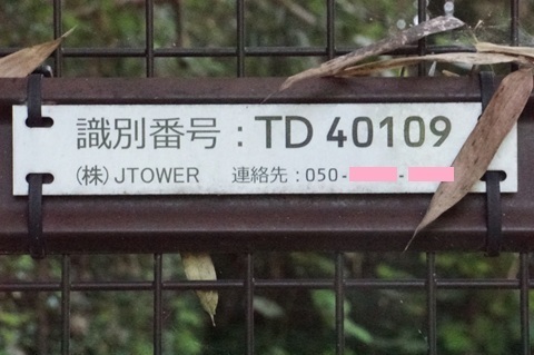
Tower b
Right next to c. This is not it either.
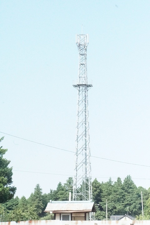
After going back south and rechecking tower a, I activate Plan B.
West towards d and e.
Tower d
Approaching… Oh?
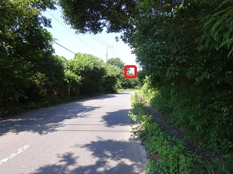
This is it!!!
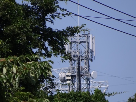
Look. Some of the following photographs can be enlarged by clicking.
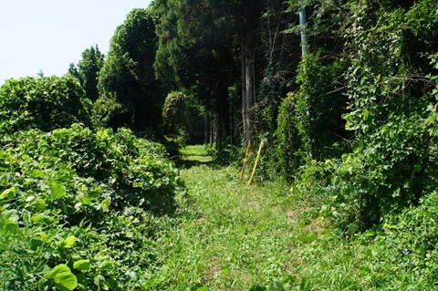
Straight in without hesitation.
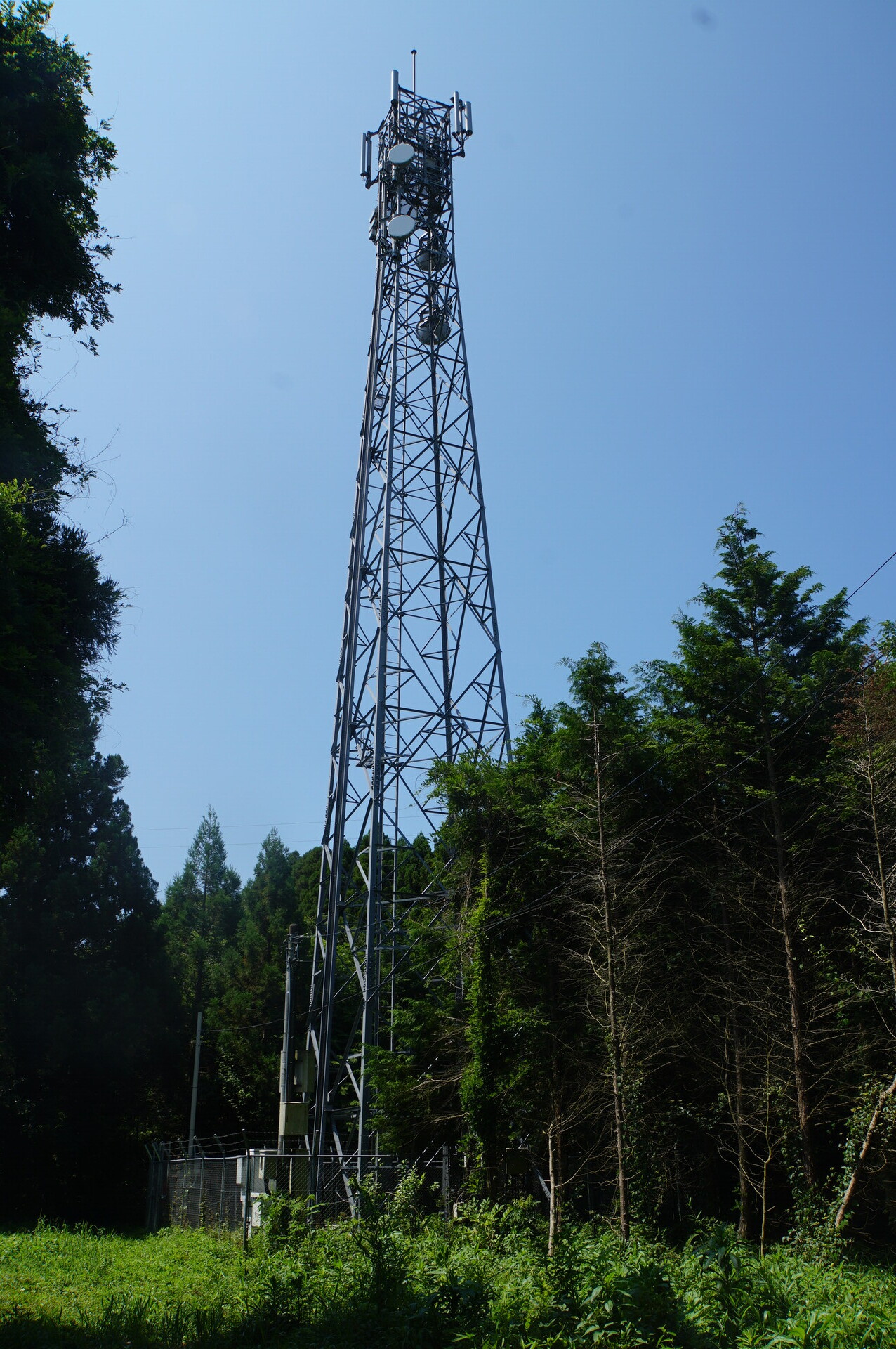
Ushiku Katsuracho station (provisional name): the whole picture
Enjoy.
The place name is pronounced Katsuracho.
The whole site
The overall view.
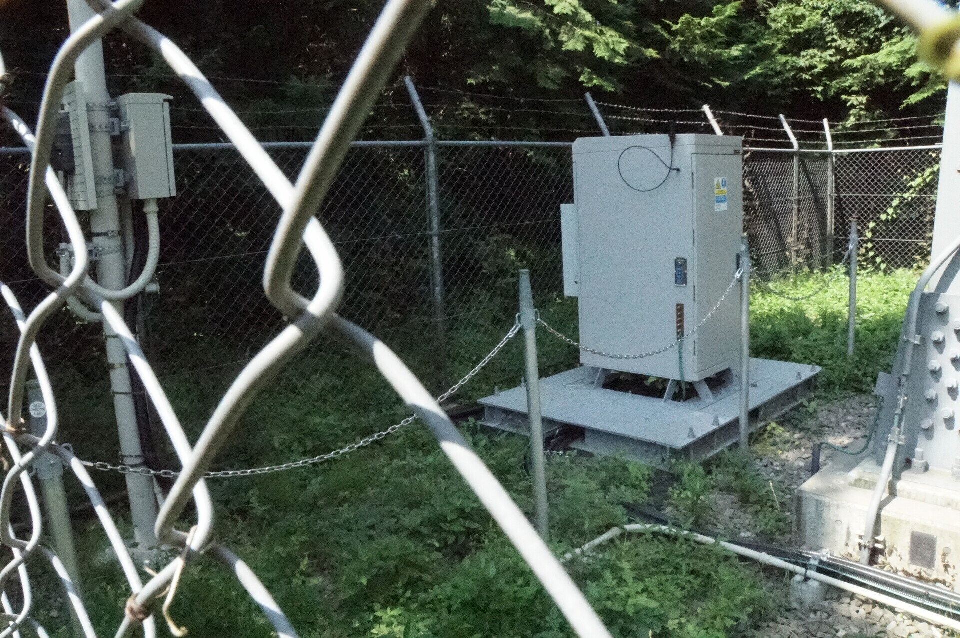
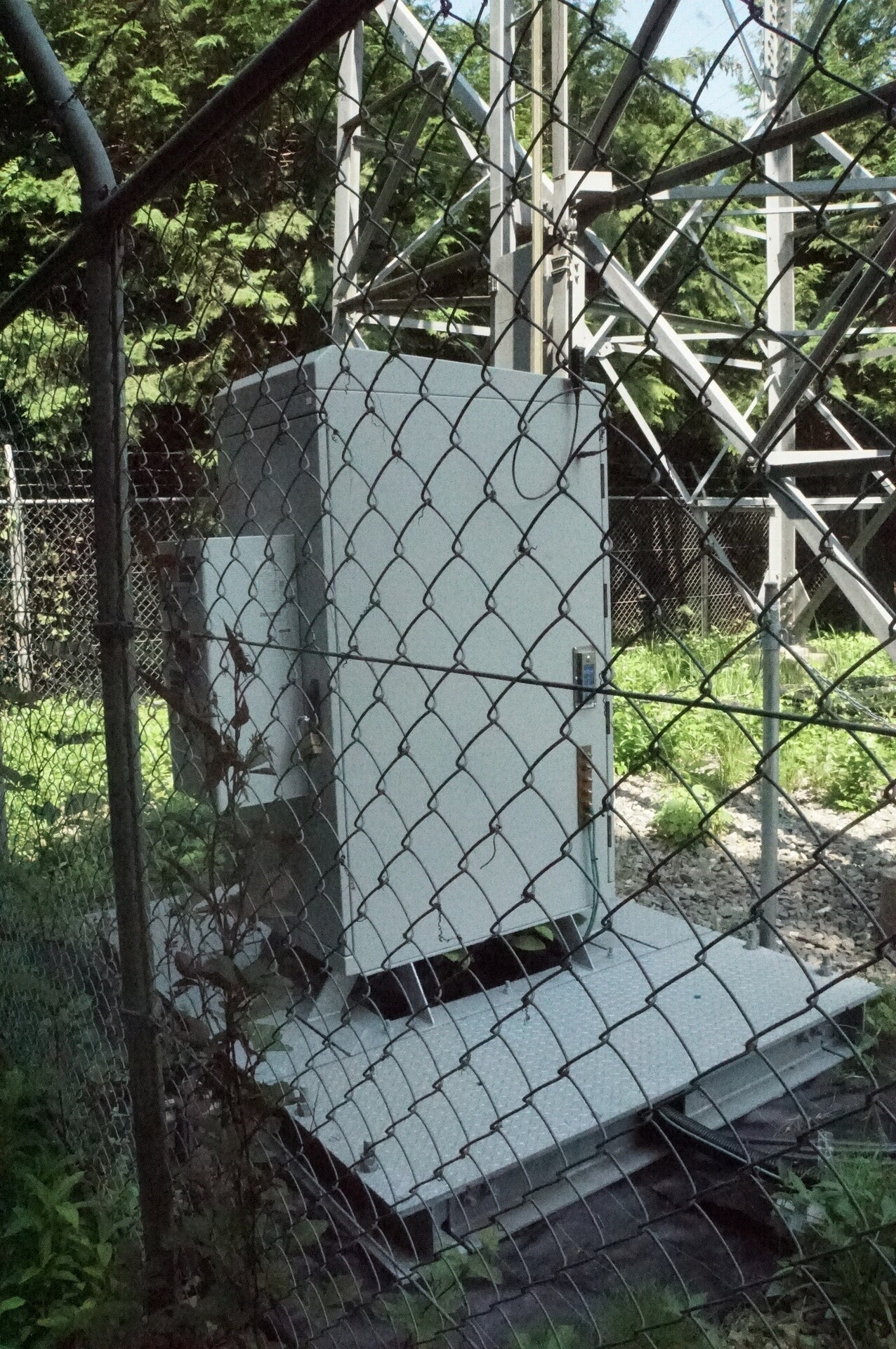
Ground-level equipment.
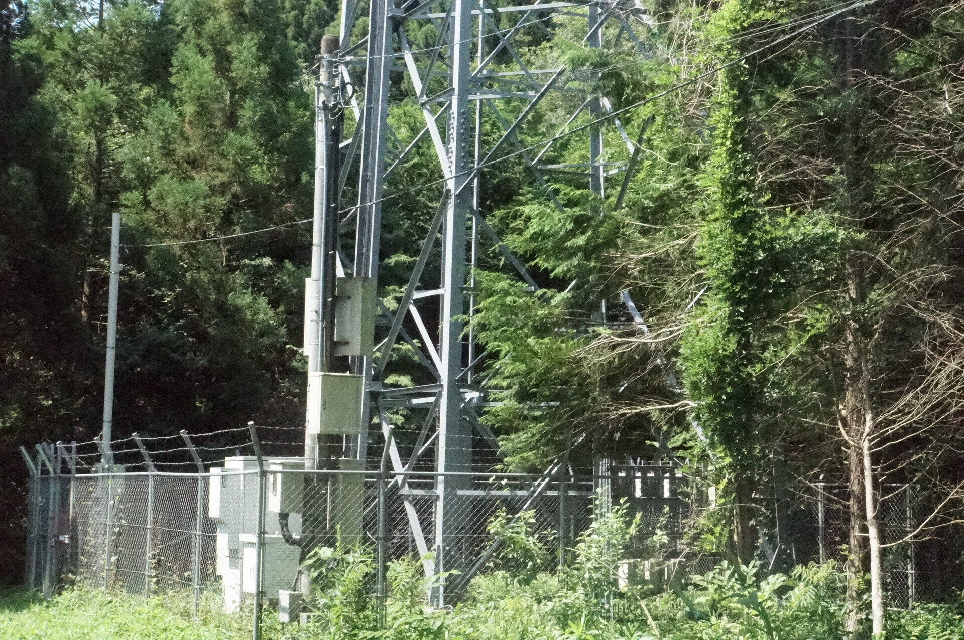
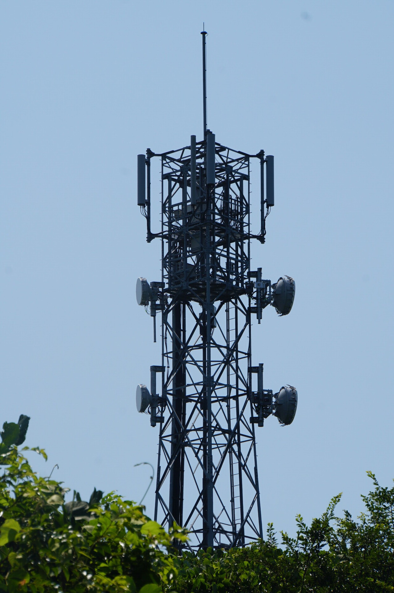
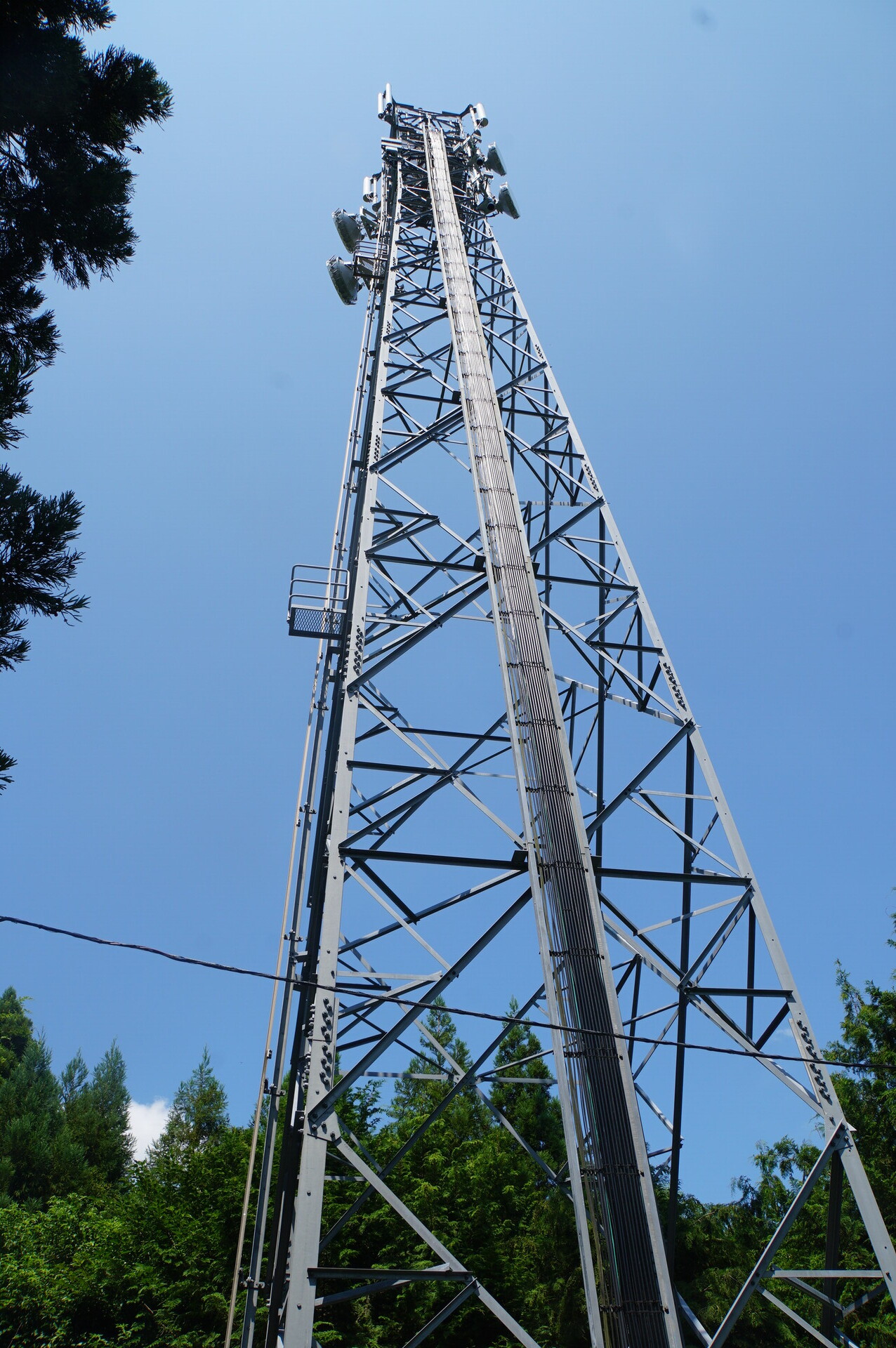
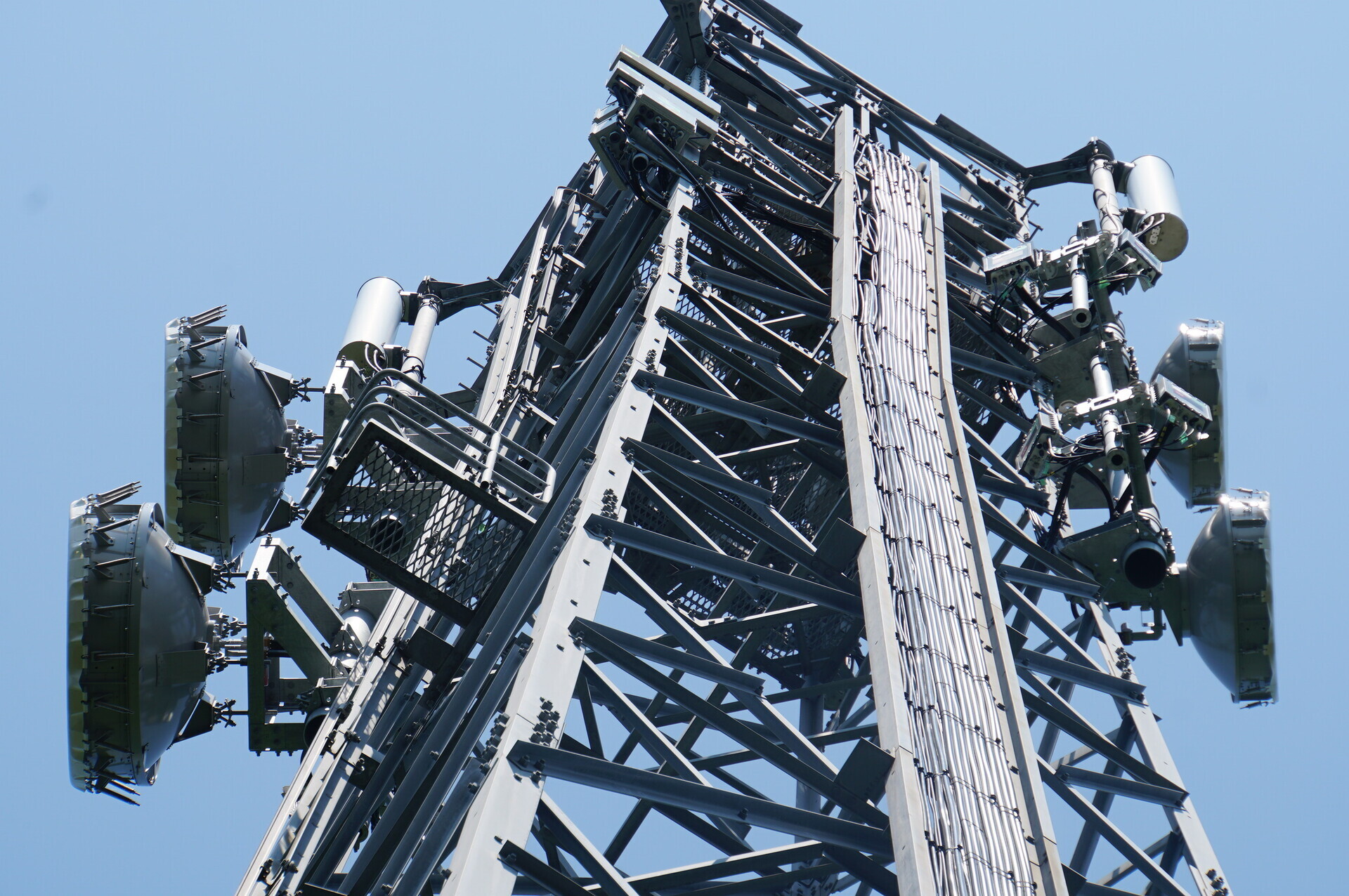
The tower.
HBC’s leased portion. The same arrangement as the other stations in this series.
A new gate has been installed.
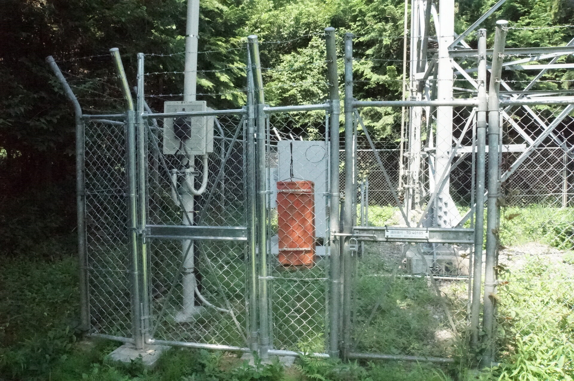
A familiar-looking rack.
Operating under the blazing sun, with extremely loud fans.
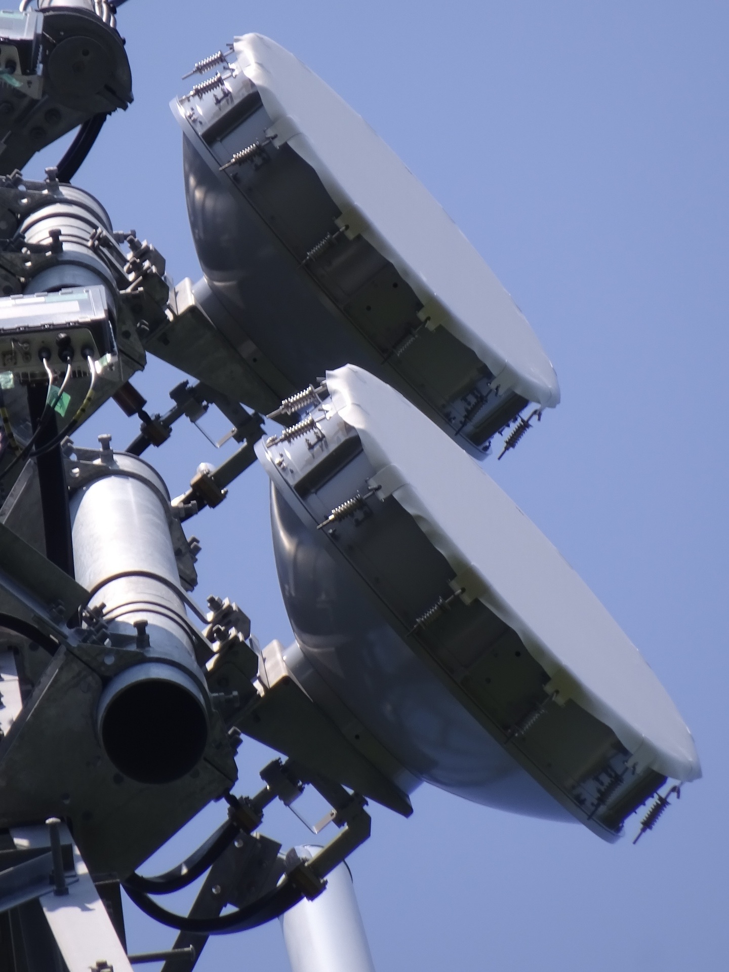
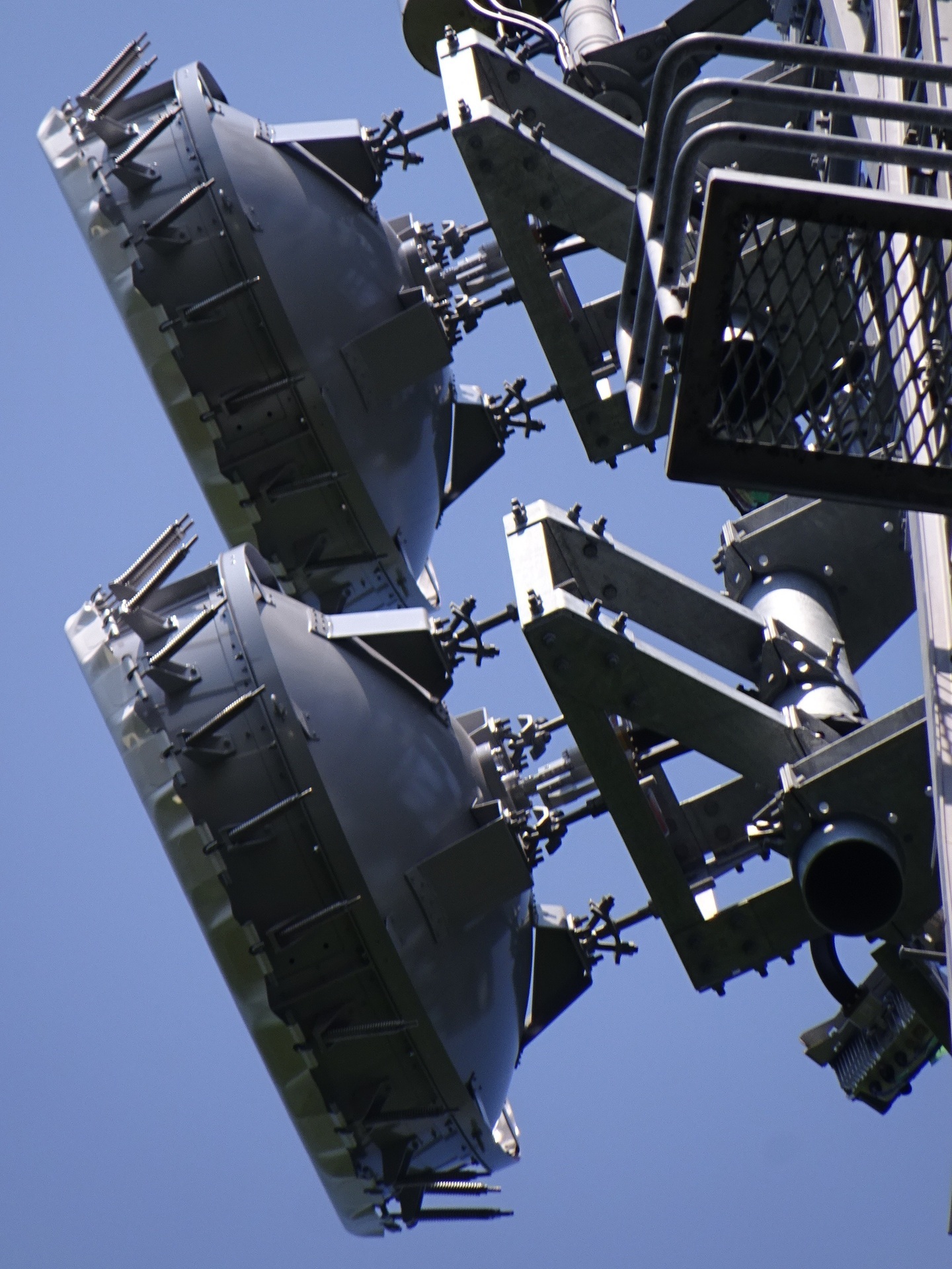
Dishes
Capturing both link directions.
The right-hand antenna, facing northeast towards the still-unidentified Omitama station.
The left-hand antenna, facing southwest towards Inzai.
The Inzai end also uses space diversity, so that fits.
Identification labels
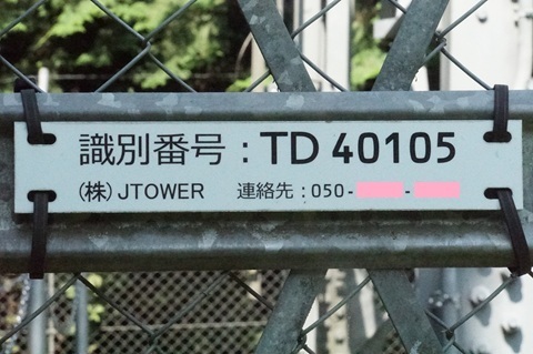
JTOWER’s ID.
Its site name.
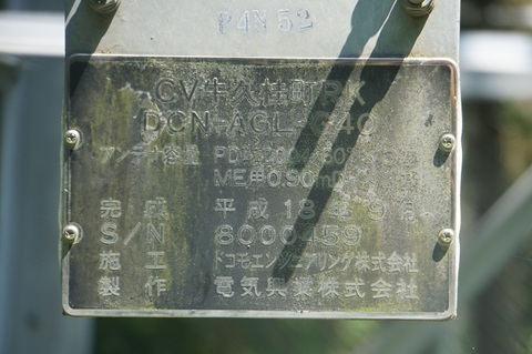
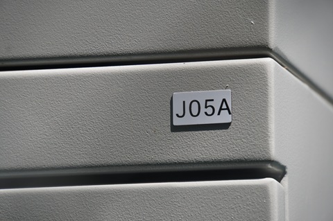
HBC’s label. (Sawajiri: J06; Hokota Minowa: J07A; Ajigaura: J08.)
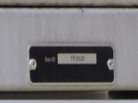
Its Site ID. (Sawajiri: TP2024; Hokota Minowa: TP2031.)
Bearings towards the next hops
Northeast: towards Omitama.
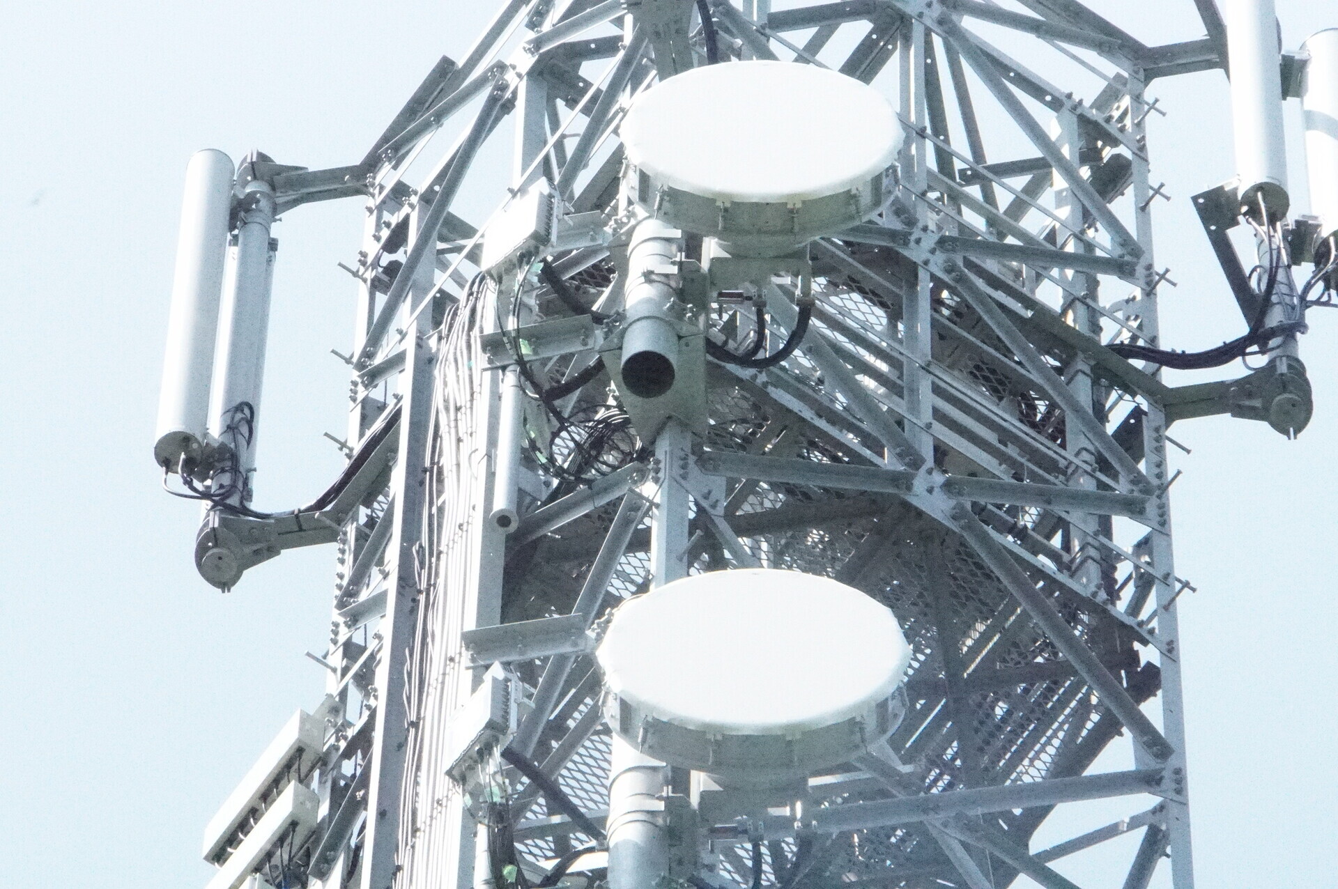
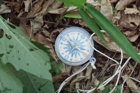
Southwest: towards Inzai.
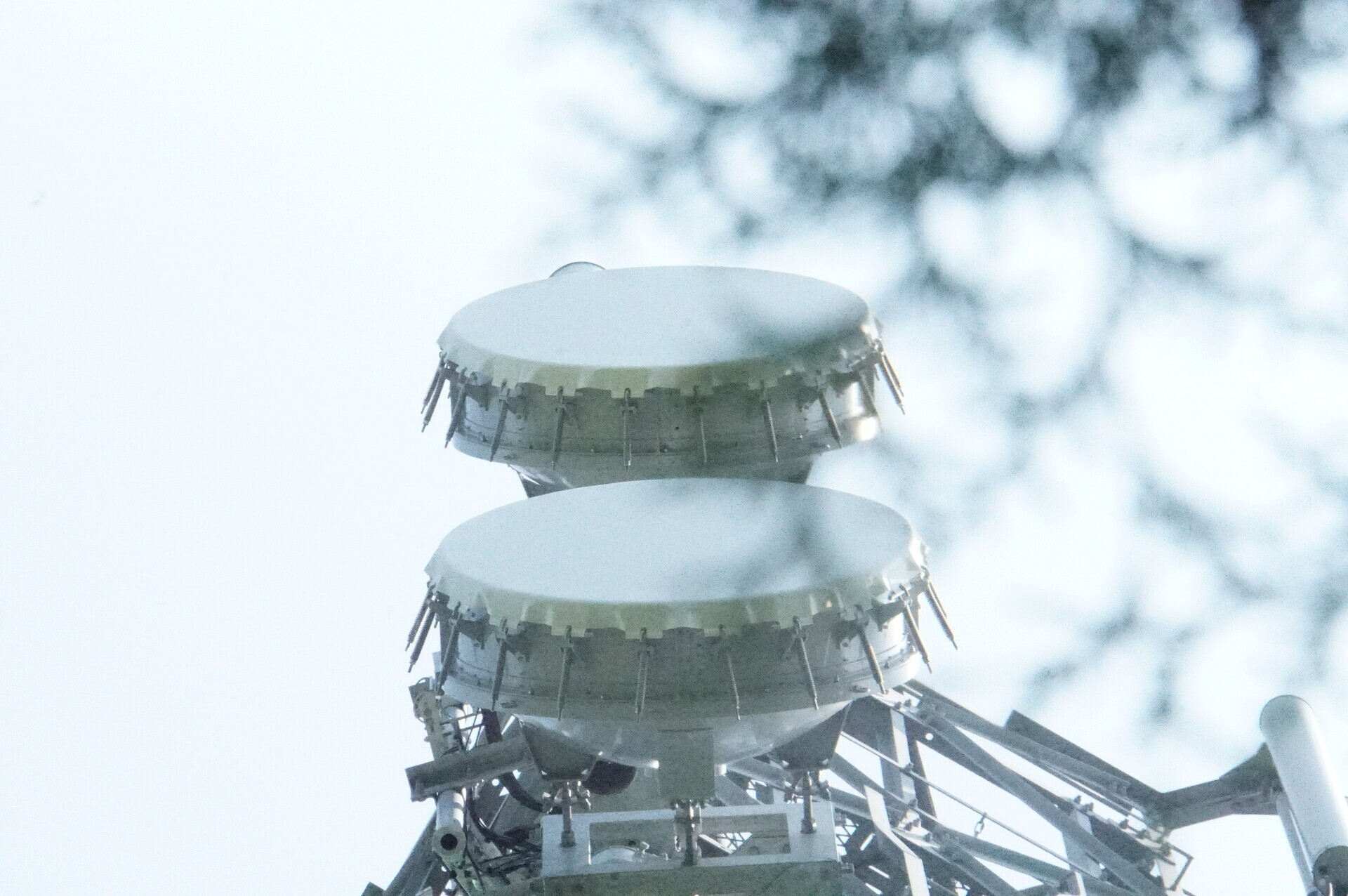
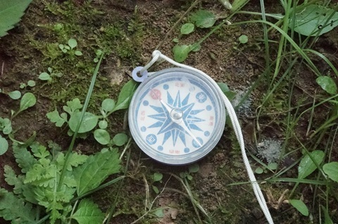
TEPCO Tsukuba-Minami Substation
I should at least mention it rather than passing it by.
Looking from the east.
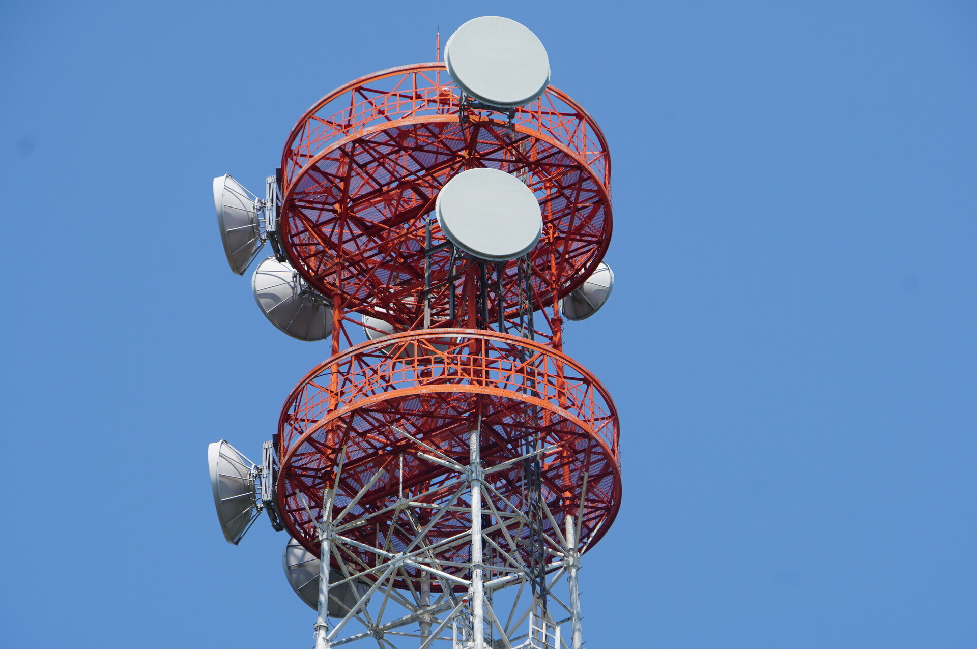
Tower e
We no longer need this one.
The station beside the Ami-Higashi interchange.
It is increasingly turning into Laputa [becoming overgrown, like the castle in the film].
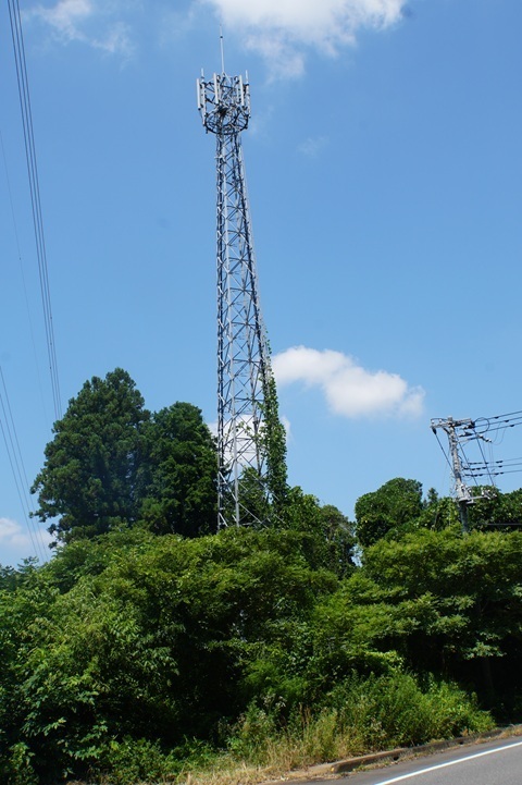
There are two ways out from the Hitachi Plateau here: via Ushiku Daibutsu or Ami Premium Outlets.
I head for the outlets, where there is an 11:00 bus.
Heading home
Ami Outlets 11:00 → Arakawaoki Station East Exit 11:21.
Arakawaoki 11:40 → Shimbashi 12:52 / 12:57 → Tamachi 13:00.
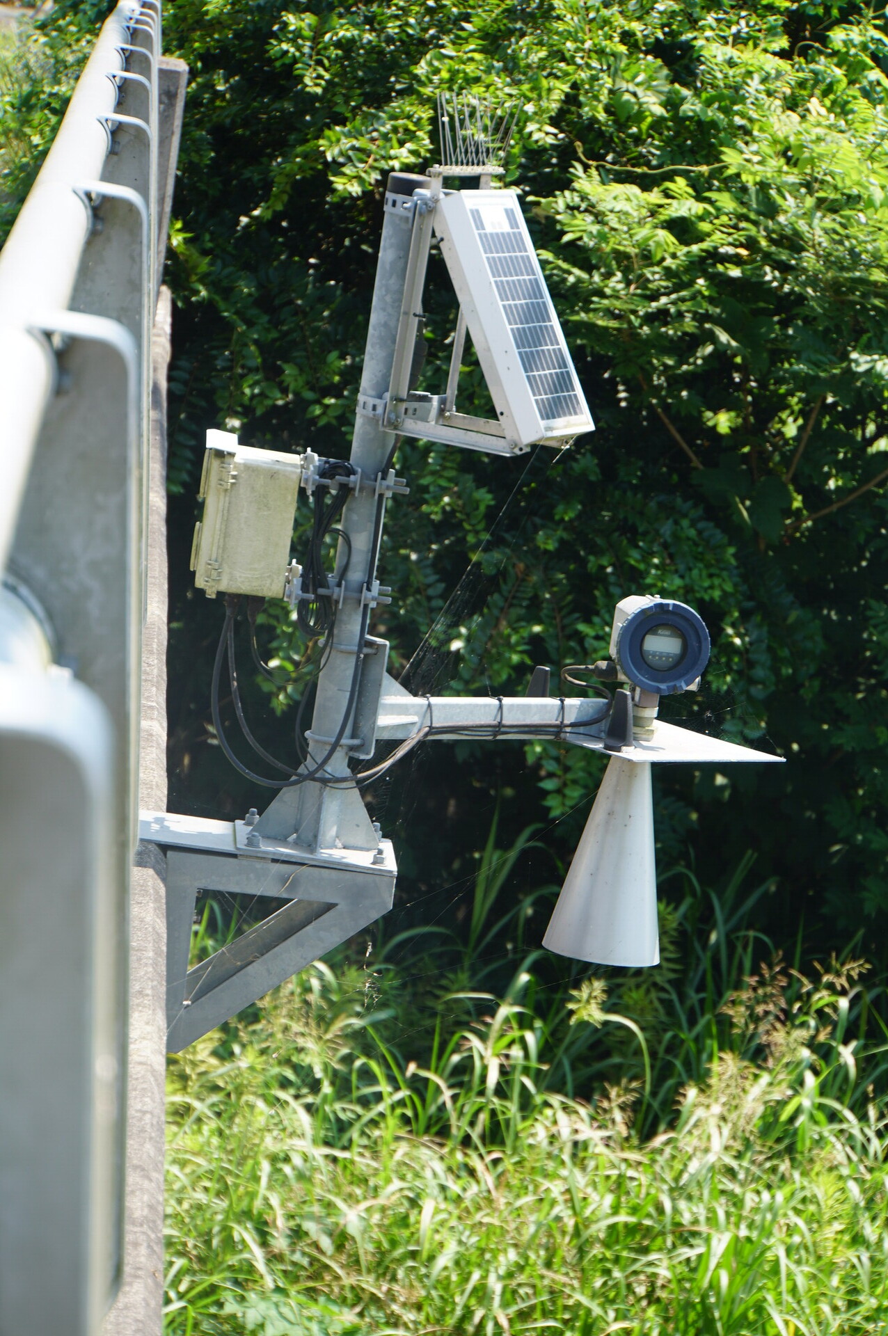
Spotted a water-level sensor.
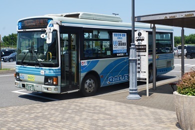
Ami Outlets.
Reached the outlets at 10:54. Just in time.
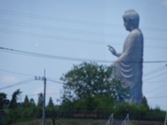
Ushiku Daibutsu.
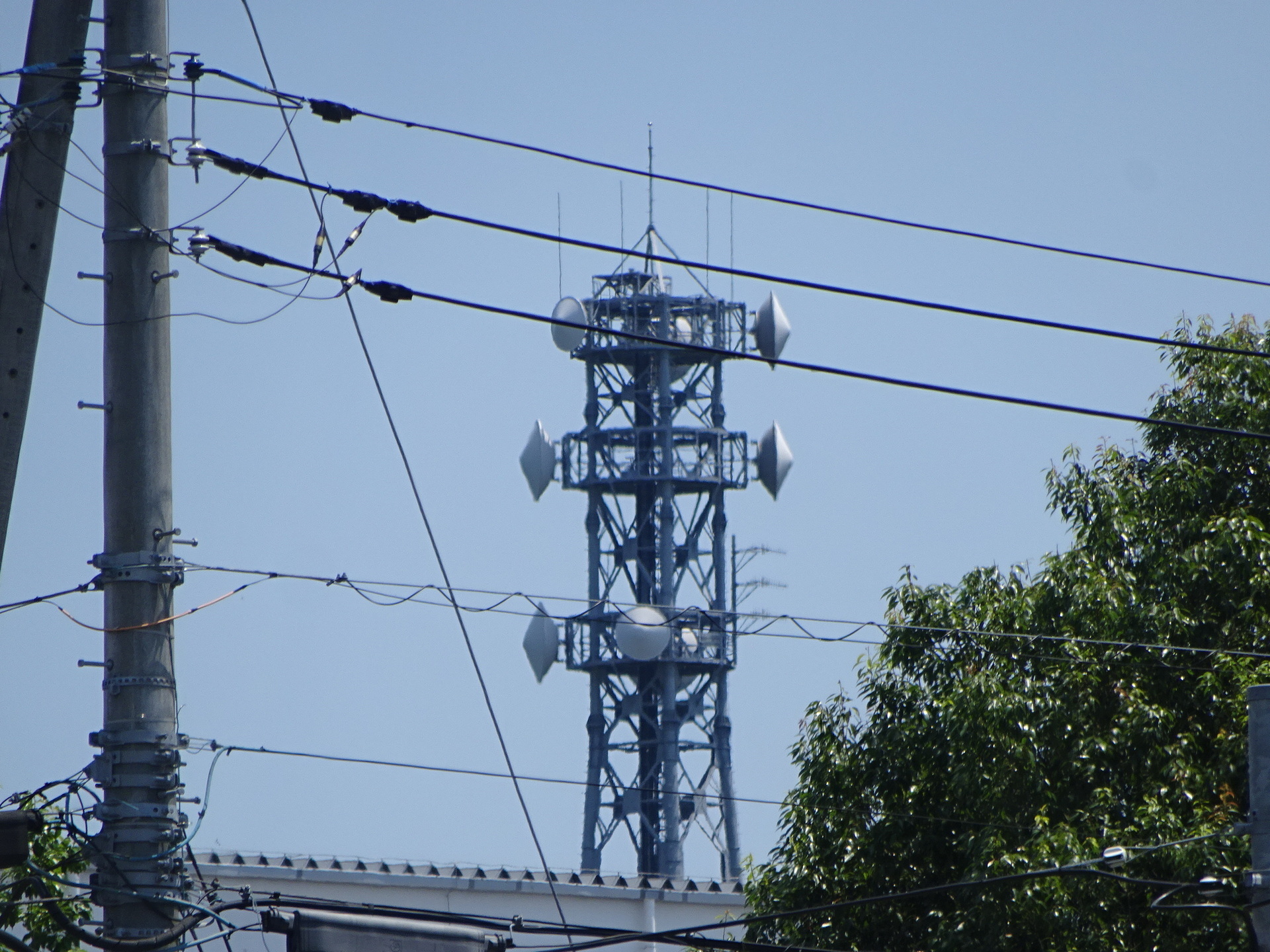
Tokyo Gas’s Ami station.
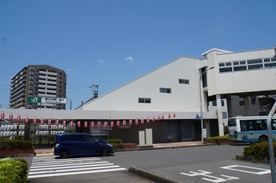
Arakawaoki. Here I am again, for the first time since searching for the Tokyo Gas route.
Leaving Arakawaoki.
Shimbashi.
Expenses
¥1,221 — JR, Tamachi → Hitachino-Ushiku
¥620 — Inashiki Area Regional Bus, Hitachino-Ushiku Station → Tsukuba-Minami Okuhara Industrial Park Central
¥590 — Kanto Railway bus, Ami Outlets → Arakawaoki Station East Exit
¥1,221 — JR, Arakawaoki → Tamachi
――――――――――――――
¥3,652 — total
Summary
Ushiku station identified:
https://www.google.com/maps/place/@35.9722639,140.2530931,52m/data=!3m1!1e3
Results to date.
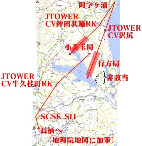
I would like to say we have bracketed Omitama’s location from both sides… but the estimates are rather scattered. orz
The overall picture. Click to enlarge.
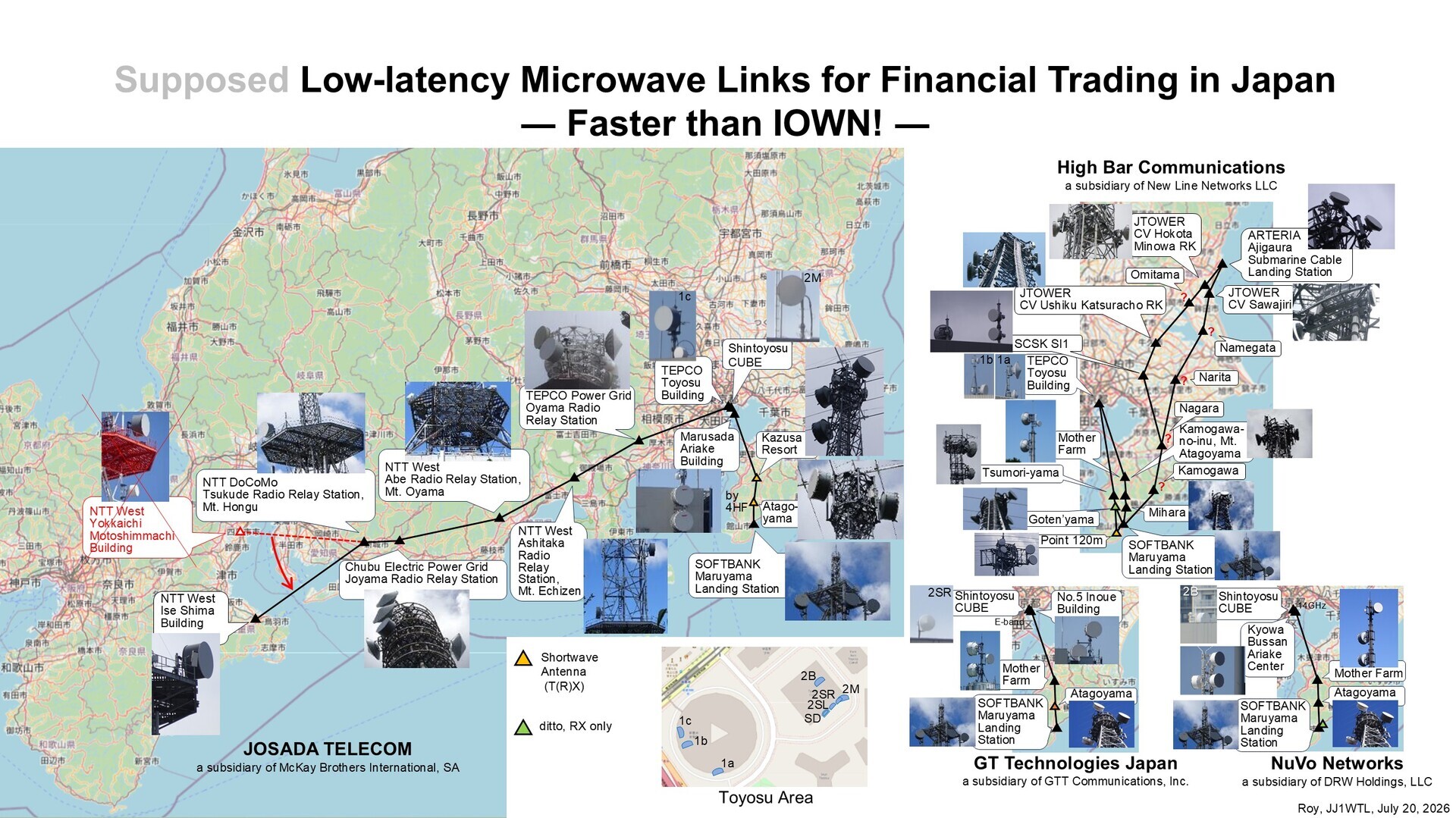
Earlier articles:
‘Microwave routes (Ajigaura and Inzai)’
https://jj1wtl.seesaa.net/article/521035620.html (English translation)
‘Microwave routes (Hokota)’
https://jj1wtl.seesaa.net/article/521116477.html (English translation)
If you see a JTOWER tower with almost back-to-back dishes, please let me know:
Nagara, Narita, Namegata and Omitama.
[Added July 22] Provisional Omitama location: 36.1508621,140.4117135
[Added July 23] Provisional Namegata location: 36.0982496,140.4911042
To be continued...