JA/CB-004
Original: Ryota / JJ1WTL — 499505940 · Original Japanese HTML
Published: 2023-05-28T19:22:00+09:00
English translation of the archived article text. The author’s first-person observations, uncertainty and later additions are preserved; this is not the research summary. Image contents are preserved as images, not silently incorporated into the translated prose.
Gotenyama. A visit combined with investigating the low-latency microwave routes from the Chikura cable landing station to central Tokyo.
Two microwave relay stations with HF antennas mounted on them…
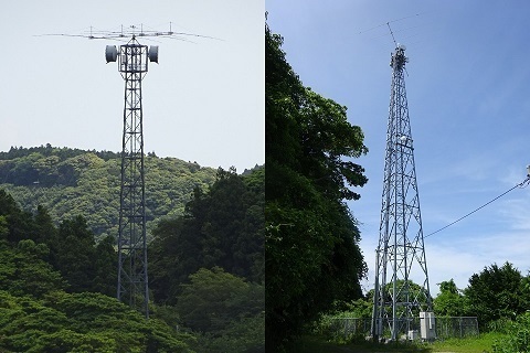
SRI for the long account below.
Preparatory work
The ‘JOSADA TELECOM on Mount Kanozan’ site I visited during Golden Week (https://jj1wtl.seesaa.net/article/499180322.html (English translation)): I am looking for its next relay farther towards the cable landing station.
The location marked Minamiboso City in red on the map.
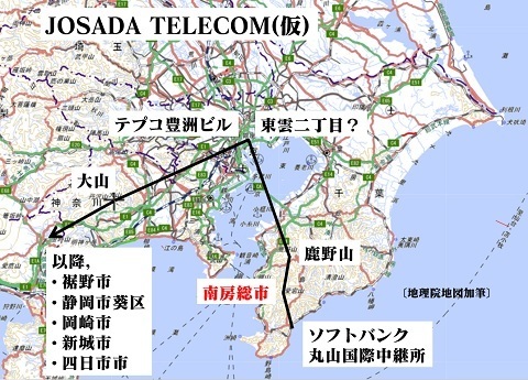
Incidentally:
Besides JOSADA TELECOM, three other companies have similar networks.
Searching the Radio Station Information Search for fixed stations in Minamiboso City, for telecommunications business use, at 6–13 GHz, gives nine stations belonging to these four companies.
6–13 GHz excludes the 18 GHz fixed stations used for mobile-base-station backhaul.
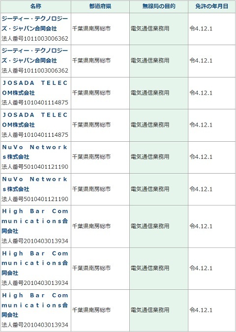
Reading their licences produces something like the diagram below, in the order the operators were licensed. The site names are provisional.
I will investigate these too.
…Actually, I have to, in order to distinguish them from JOSADA TELECOM.
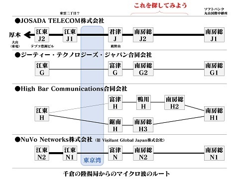
Of these four companies, only JOSADA TELECOM passes through Kimitsu City, where Mount Kanozan is located, allowing that attribution.
Experience suggests the first approach to provisional locations should be a methodical check of every radio-tower symbol on GSI maps.
That narrowed it down to the following.
The targets are West, Centre, East and South on the diagram.
Besides checking Google Maps, I will verify unclear points on site.
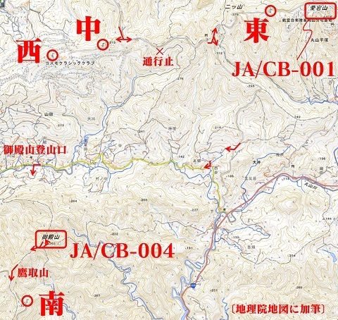
West: Hiratsuka, Minamiboso City.
https://www.google.com/maps/@35.1103025,139.9484695,45m/data=!3m1!1e3
Centre: same area.
https://www.google.com/maps/@35.1114835,139.9555937,45m/data=!3m1!1e3
East: Oyama-Hiratsuka, Kamogawa City.
https://www.google.com/maps/@35.1154046,139.9792685,45m/data=!3m1!1e3
South: Miyashita, Minamiboso City.
https://www.google.com/maps/@35.0819613,139.9448203,45m/data=!3m1!1e3
Nearby SOTA summits are:
-
JA/CB-001, Mount Atago: inside the military sub-base.
-
JA/CB-004, Gotenyama.
-
JA/CB-005, Mount Tomi: west, outside the map.
-
JA/CB-009, Iyogatake: west, outside the map.
It was just noon after finishing West, Centre and East and descending.
Not wanting to make a second trip, I decided to push on to the distant South point too, and selected Gotenyama for the SOTA activation.
The trade-off: no more bus service, so the return to the station would require a taxi.
To Gotenyama
Saturday, May 27.
Tamachi 4:52 → Tokyo 5:01 / 5:21 → Kisarazu 6:40 / 6:47 → Iwai 7:47 / 7:55 → bus, reservation required → Arakawa 8:29.
Shinkansen maintenance vehicle. Photograph it while the days are long.
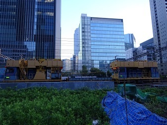
The siding on the Hamamatsucho side of Tamachi Station.
Already closed, to be removed.
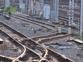
Leaving Tamachi.
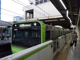
Tokyo. The train has just come in from Chiba; it will reverse here.
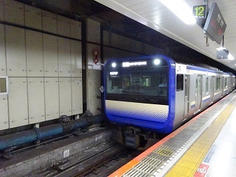
Kisarazu.
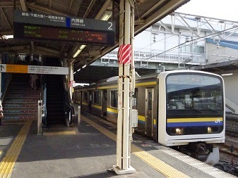
Arrived at Iwai.
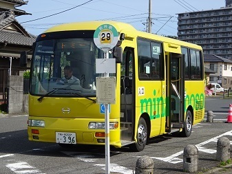
Bus.
Reserved the route extension to Arakawa.
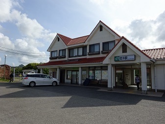
Arrived at Arakawa, 8:28.
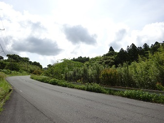
During this interval: investigated West, Centre and East, the towers at Cosmo Classic Club and Mount Atago. Described below.
Gotenyama trailhead. Depart 12:13.
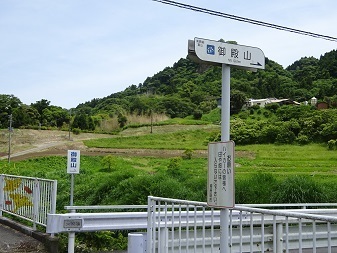
During this interval: investigated South, the tower south of Takatoriyama. Described below.
Back at Takatoriyama, 14:06.
The summit is a little off the trail, with stone monuments and so on.
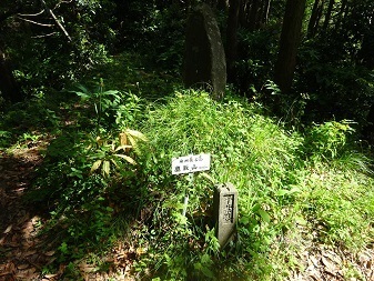
Finally, to Gotenyama's summit to get on the air.
Gotenyama summit
Arrived at 14:26.
View toward the Pacific.
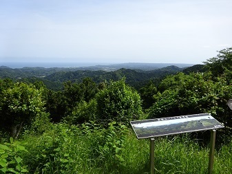
View toward Tokyo Bay.
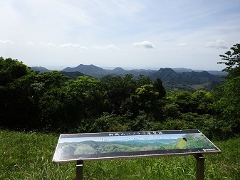
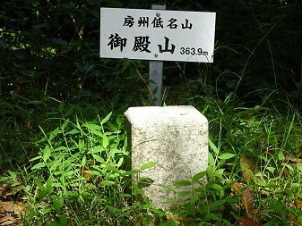
Summit sign and triangulation point.
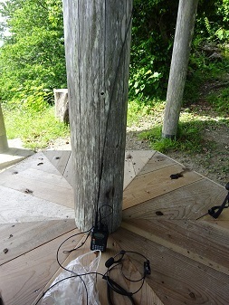
Open for business.
About half an hour from 14:30.
Packed up after six contacts.
The longest contact was Midori Ward, Sagamihara City, on 430 MHz FM at 2.5 W.
About 79 km, taking the ward office as the assumed position.
Started descending at 15:10.
Return
Back at the Yamanaka trailhead, 15:41.
Call a taxi to Iwai Station.
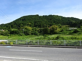
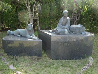
Iwai Station. Yatsufusa and Fusehime were there.
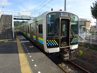
Depart Iwai 16:42.
The previous train was almost an hour late because a crane truck had apparently struck a bridge.
Depart Kimitsu 17:36; change at Shimbashi and home at 19:30.
Expenses
¥1,980: JR, Tamachi → Iwai.
¥200: municipal bus, Iwai Station → Arakawa.
¥4,060: taxi, Yamanaka → Iwai Station.
¥1,980: JR, Iwai → Tamachi.
――――――――――――――――――――――――――――――
¥8,220 total.
Six contacts… ¥1,370 per QSO.
Transmitter-tower spotting
Shown again.
West: Hiratsuka, Minamiboso City.
https://www.google.com/maps/@35.1103025,139.9484695,45m/data=!3m1!1e3
Centre: same area.
https://www.google.com/maps/@35.1114835,139.9555937,45m/data=!3m1!1e3
East: Oyama-Hiratsuka, Kamogawa City.
https://www.google.com/maps/@35.1154046,139.9792685,45m/data=!3m1!1e3
South: Miyashita, Minamiboso City.
https://www.google.com/maps/@35.0819613,139.9448203,45m/data=!3m1!1e3
West
I identified it as shared by GT Technologies Japan and NuVo Networks: ‘Minamiboso G2’ and ‘Minamiboso N2’.
Walked uphill from Arakawa bus stop.
After wrong turns and so on, arrived at 9:50.
Inside the grounds of Cosmo Classic Club—thank you.
Plenty of unused land and power already available: an ideal spot?
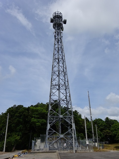
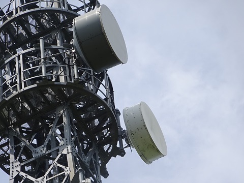
South-facing beams toward the cable landing station.
The antenna construction differs.
It is hard to see them as space diversity.
So I concluded two companies were sharing the site.
Together with the analysis of Centre and East below, that narrows it down to GT Technologies Japan and NuVo Networks.
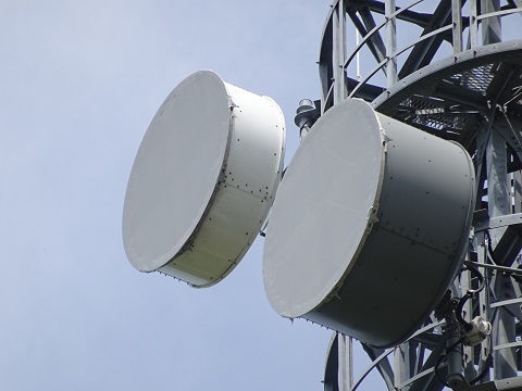
North-facing beams.
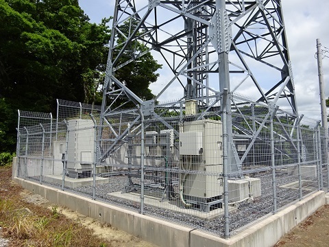
Equipment… doesn't it look like two companies' worth?
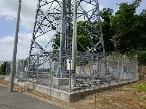
The same.
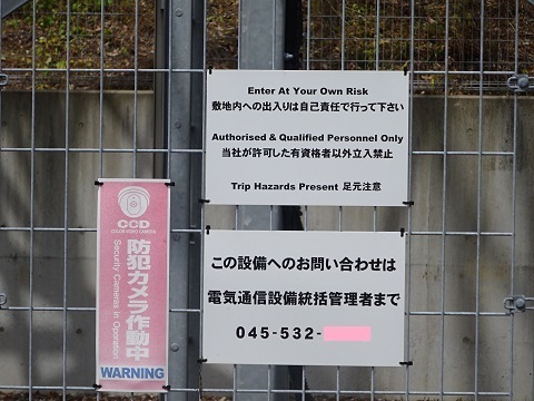
Information that might be a clue…
Naturally I asked Google, but no hits.
Centre
I identified it as JOSADA TELECOM: ‘Minamiboso J2’.
This tower is also inside Cosmo Classic Club. Thank you.
Seen from around the West tower.
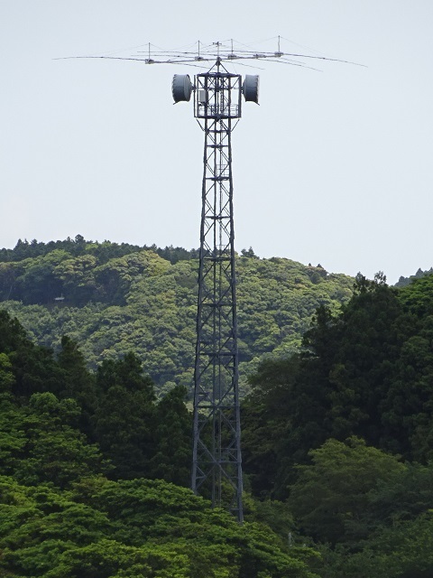
Google Maps already showed an HF antenna on it.
Probably related to HF digital fixed stations seeking still lower latency.
But there is no licence, so perhaps reception only?
In Google Maps it appears aligned 26°, downward in the photograph, and 206°. SRI if I am wrong.
Aimed at New York?
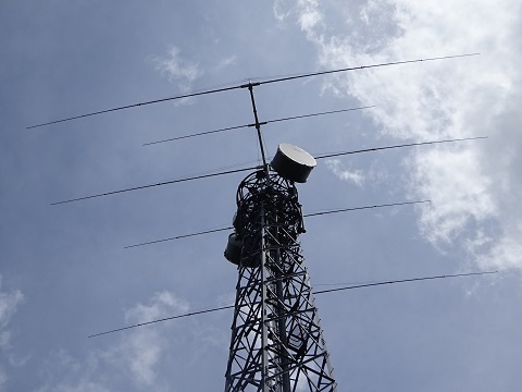
The dish logo identifies the manufacturer as RF cell. The photograph shows the dish toward the southern cable landing station.
The same as the station on Mount Kanozan in Kimitsu City.
So I regarded this station as JOSADA TELECOM's, since it is the only company passing through Kimitsu City.
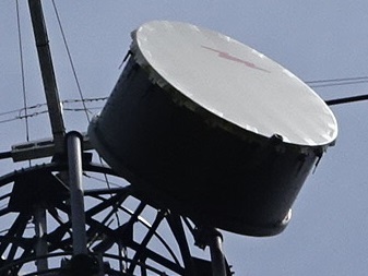
The northward beam, right, is just east of due north: exactly toward Mount Kanozan.
The southward one, left, is probably toward SoftBank Maruyama International Relay Station.
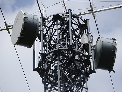
Equipment, for comparing characteristics and identifying operators later.
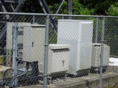
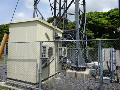
The same.
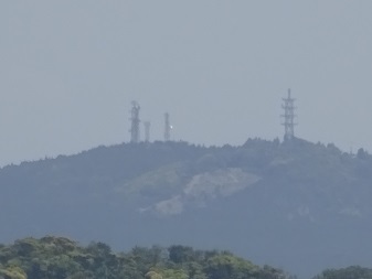
Mount Kanozan is visible. JOSADA TELECOM's tower is not in the photograph, SRI; it is farther right.
East
I identified it as High Bar Communications: ‘Kamogawa H’.
Approaching… there it is, looking east.
The left/right beams are the ones of interest. At the very top is probably a co-located cellular backhaul link.
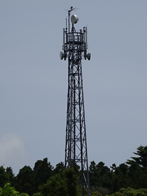
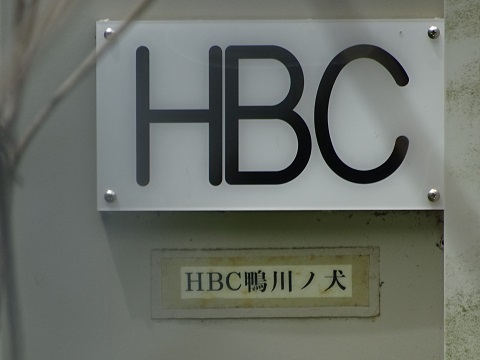
It appears to be a station called ‘HBC Kamogawa-no-inu’.
So I concluded it belongs to High Bar Communications.
Zoom on the top section.
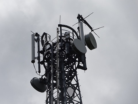
North-facing beam.
Almost due north in Google Maps.
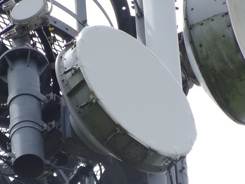
South-facing beam.
Just east of due south in Google Maps.
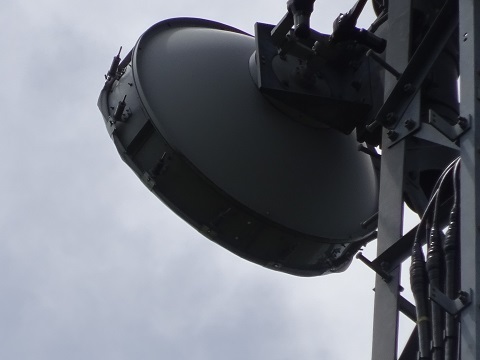
A co-located 6–7 GHz backhaul link?
Different manufacturer from the dishes of interest.
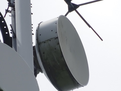
A co-located 18 GHz backhaul link?
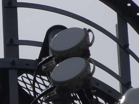
For equipment enthusiasts.
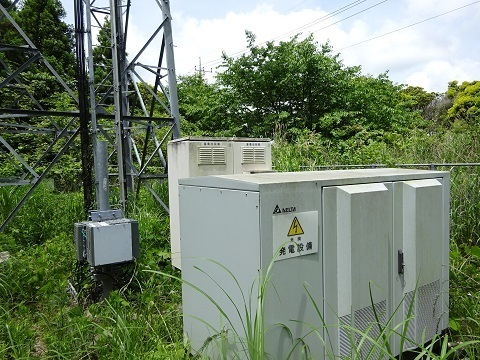
The same.
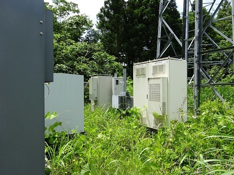
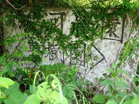
Apparently former orchard land: a sign still says ‘Suruga Farm Ltd. (orchard)’.
South
I identified it as High Bar Communications: ‘Minamiboso H3’.
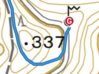
Around spot height 337, south past Takatoriyama.
I needed to descend from the hiking trail to the forestry road presumably running alongside below to the east…
There was an unmarked connecting path from trail to forestry road.
Lucky!
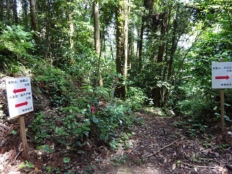
From the Yamap track.
Came out here. The building is a toilet; there are benches nearby too.
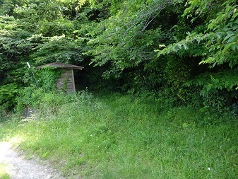
And what was there…
The equipment halfway up the tower is probably a co-located cellular base station.
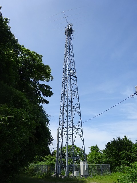
An HF antenna has been mounted, though it was not in Google Maps!
This too is probably related to HF digital fixed services seeking still lower latency.
But this one also has no licence, so perhaps reception only?
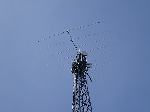
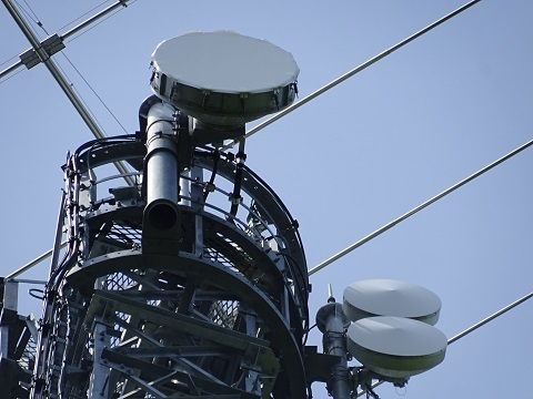
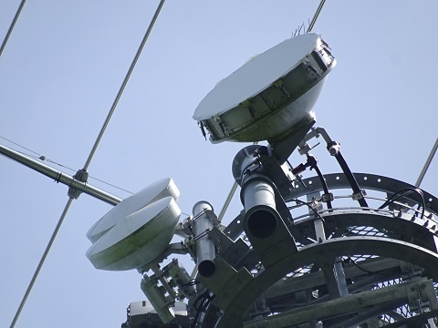
A log-periodic with its rearmost three elements shortened.
The rearmost element also has capacitive loading hats, forming an H shape.
Bearing: 20°, toward places such as Boston.
Estimated from Google Maps and the difference between the main tower member's direction and the boom's. SRI if off.
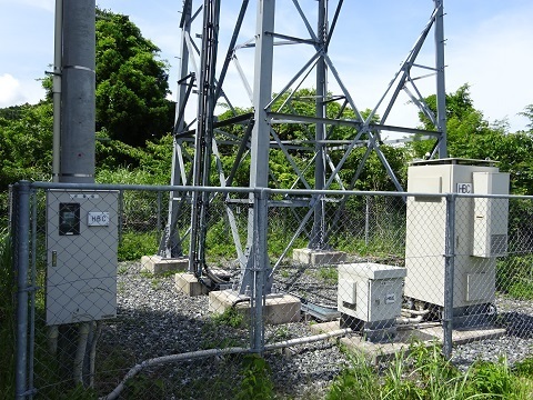
It says HBC, so presumably High Bar Communications.
Toward the cable landing station to the south.
Is the small, space-diversity-looking dish for 12 GHz? There should not be a licence, though.
Northward.
I do not think it faces the East station on Mount Atago discussed earlier.
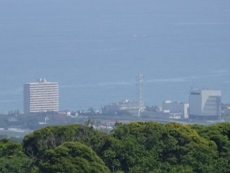
The cable landing station's tower is visible.
Glad I made the effort to come.
To celebrate, lunch number two here.
Slightly puffed up? Elevation 298 m.
Then on-air operation at Gotenyama before heading home.
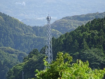
Looking down from Gotenyama toward South station.
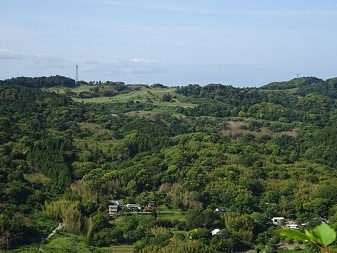
During the descent, West and Centre seen from around the Daikoku statue.
Summary
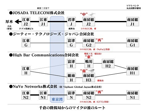
Provisional locations:
- Minamiboso H2: Wada-cho Kuroiwa, east of an NTT-associated tower.
https://www.google.co.jp/maps/@35.0614164,139.9882158,40m/data=!3m1!1e3
- Futtsu G and Futtsu N: Mother Farm.
https://www.google.co.jp/maps/@35.2464153,139.9359888,40m/data=!3m1!1e3
The south-facing beams do not seem to fit:
https://www.google.co.jp/maps/@35.2478598,139.9365334,40m/data=!3m1!1e3
- Kyonan H: Mount Tsumori.
https://www.google.com/maps/@35.1391597,139.9298298,45m/data=!3m1!1e3
- Koto J1 and Koto N1: these two stations in Shinonome 2-chome:
https://www.google.co.jp/maps/@35.637912,139.799362,40m/data=!3m1!1e3
https://www.google.co.jp/maps/@35.6381784,139.7997525,40m/data=!3m1!1e3
Almost confirmed:
- Koto J2: TEPCO Toyosu Building.
https://www.google.co.jp/maps/@35.647758,139.7901191,40m/data=!3m1!1e3
- Kimitsu J: Mount Kanozan.
https://www.google.com/maps/@35.2531486,139.9635969,44m/data=!3m1!1e3
- SoftBank Maruyama International Relay Station.
https://www.google.com/maps/@35.0057619,139.9753774,45m/data=!3m1!1e3