Microwave routes — Omitama / Namegata
Original: Ryota / JJ1WTL — 521245350 · Original Japanese HTML
Published: 2026-08-02T10:51:00+09:00
English translation of the archived article text. The author’s first-person observations, uncertainty and later additions are preserved; this is not the research summary. Image contents are preserved as images, not silently incorporated into the translated prose.
Part four of the journey investigating High Bar Communications' northward route extension.
Let's finish Ibaraki Prefecture.
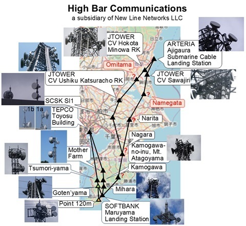
I will try to identify the Omitama and Namegata stations, shown in red in the diagram.
Desk research
The situation so far
So far, I have identified Hitachinaka, two Hokota stations, Ushiku and Inzai.
I failed to find Namegata when I combined that search with Hokota, concentrating on the southern part of the city.
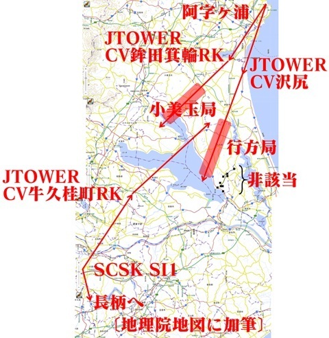
Omitama station
Searching for ‘Omitama City JTOWER’ brought up
‘Base station installation information — Rakuten Mobile signal-survey compilation’:
https://mls.js2hgw.com/opens.php?type=5G&pref=08
That was the page I found.
It records one site in Omitama City:
Kurakazu, Omitama City.
Looking for the cadastral area called Kurakazu, there is a tower:
https://www.google.co.jp/maps/place/@36.1508641,140.411721,51m/data=!3m1!1e3
In Street View photographed in March 2026, from Prefectural Route 8… aren't there dishes attached?
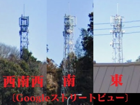
Let's use this as the provisional location for Omitama station.
Namegata station
Reorganize the investigation!
Recheck the city's terrain using GSI's customizable elevation-colour map.
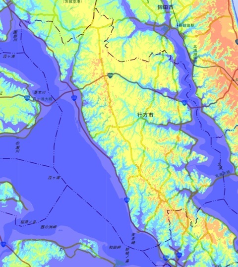
The candidate area keeps coming back to Prefectural Route 50, the road running north–south.
Street View along this road was updated in March 2026.
But I cannot find a tower fitted with dishes.
So I widened the search.
Street View on National Route 354, running east–west, was updated in April 2026.
Wandering through it… what's this?
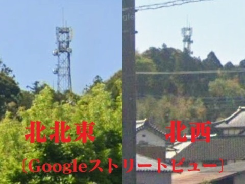
Let's use this as the provisional location for Namegata station.
https://www.google.com/maps/@36.0982654,140.4911173,52m/data=!3m1!1e3
Summary so far
Plotting both provisional locations gives the positions marked ★.
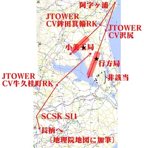
Strategy
How to approach and investigate this ‘island on land’?
There is a bus between Tsuchiura and Tamatsukuri.
At Tamatsukuri, the Rainbow Tower at Kasumigaura Fureai Land apparently rents bicycles, so I will use one.
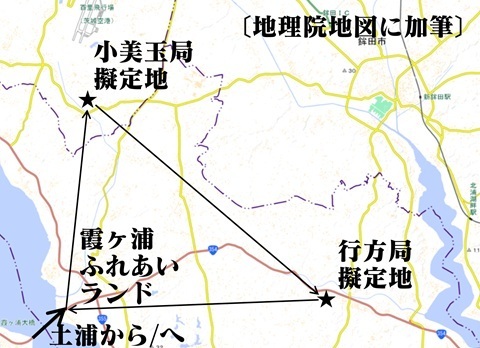
To Tamatsukuri
Saturday, August 1. Five intervening days since Mount Fuji.
Back in the days of Yamane, Kitabeppu, Ono and Kawaguchi, the pitching rotation ran with five days' rest. Let's do this.
The muscle soreness is gone.
Heading out to meet the first bus.
Tamachi 5:51 → Ueno 6:31 → Tsuchiura 07:35.
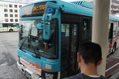
Kasumigaura regional bus: Tsuchiura Station west exit 8:00 → Roadside Station Tamatsukuri 8:55.
Tamachi. Haneda new-line construction.
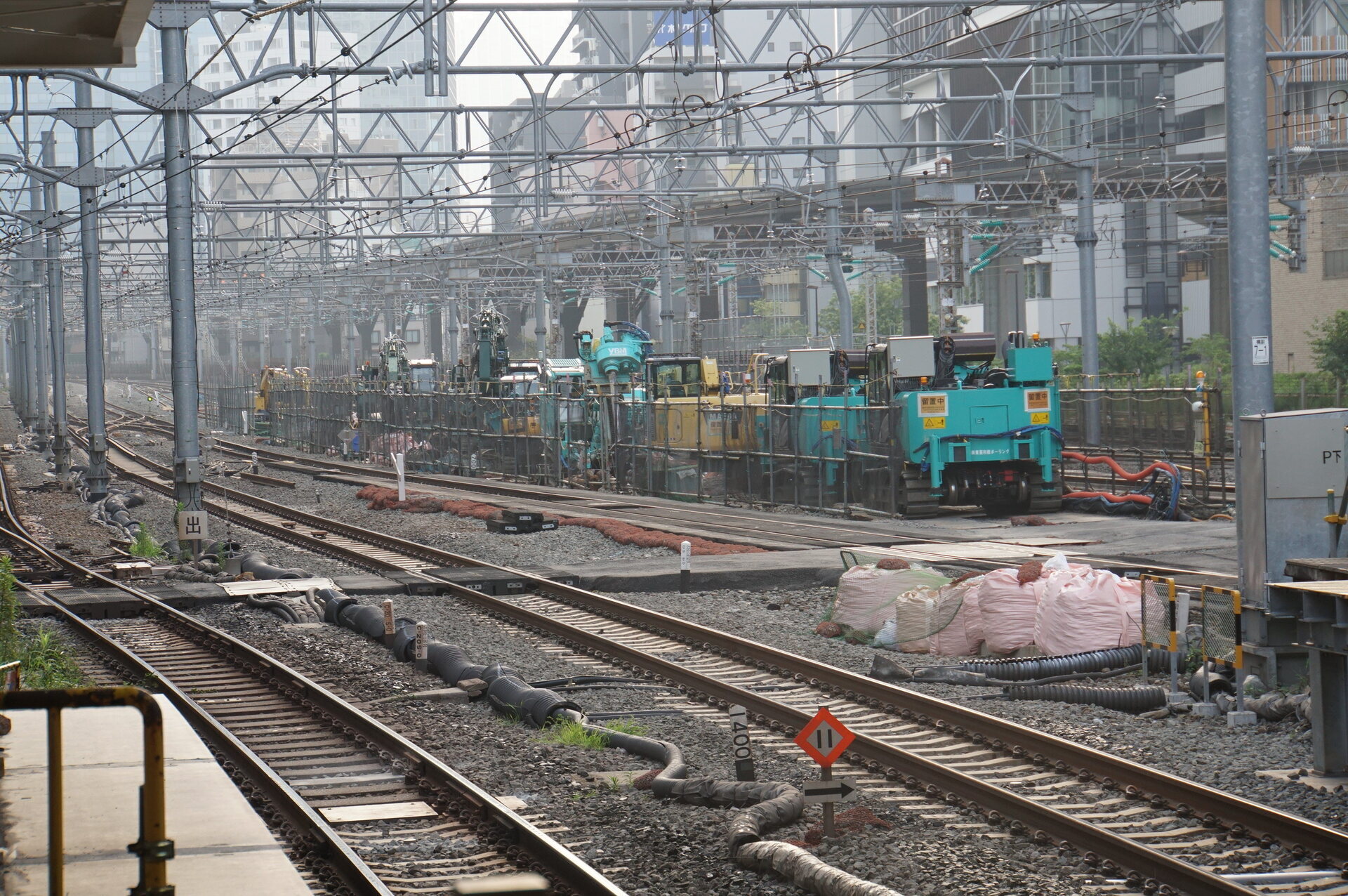
Tamachi.
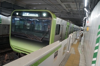
Ueno.
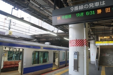
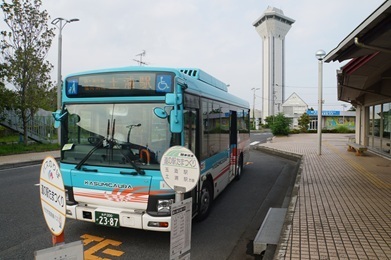
Bus from Tsuchiura. Confused by the unexpected departure from the west exit.
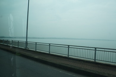
Crossing Lake Kasumigaura.
Arrived at Roadside Station Tamatsukuri.
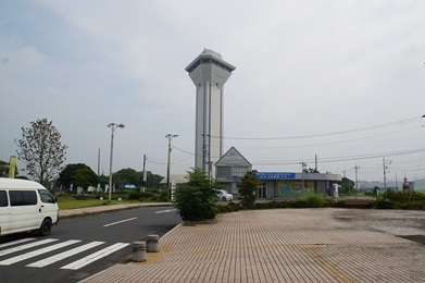
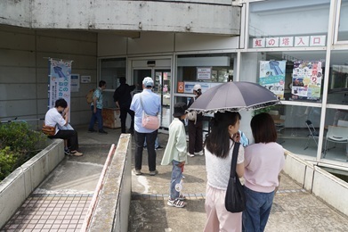
Waiting for the 10:00 opening. The internet said 9:30.
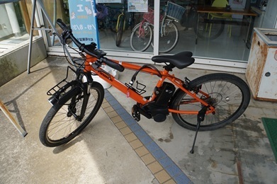
Acquired an e-bike.
You can borrow a helmet too. I brought mine, though it is a climbing helmet.
To Omitama station
Search begins: depart Roadside Station Tamatsukuri at 10:18, heading north along the Kajinashi River.
Oh, there it is (10:42).
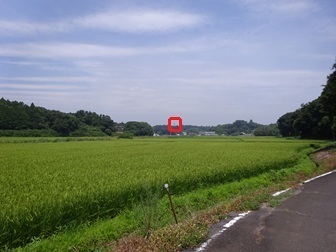
Maximum zoom. Confirmed.
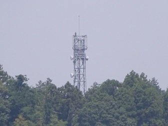
All that remains is to approach the base.
Full view of Omitama Kurakazu station (provisional name)
Enjoy.
The place name is pronounced Kurakazu.
Site
Arrived (10:47).
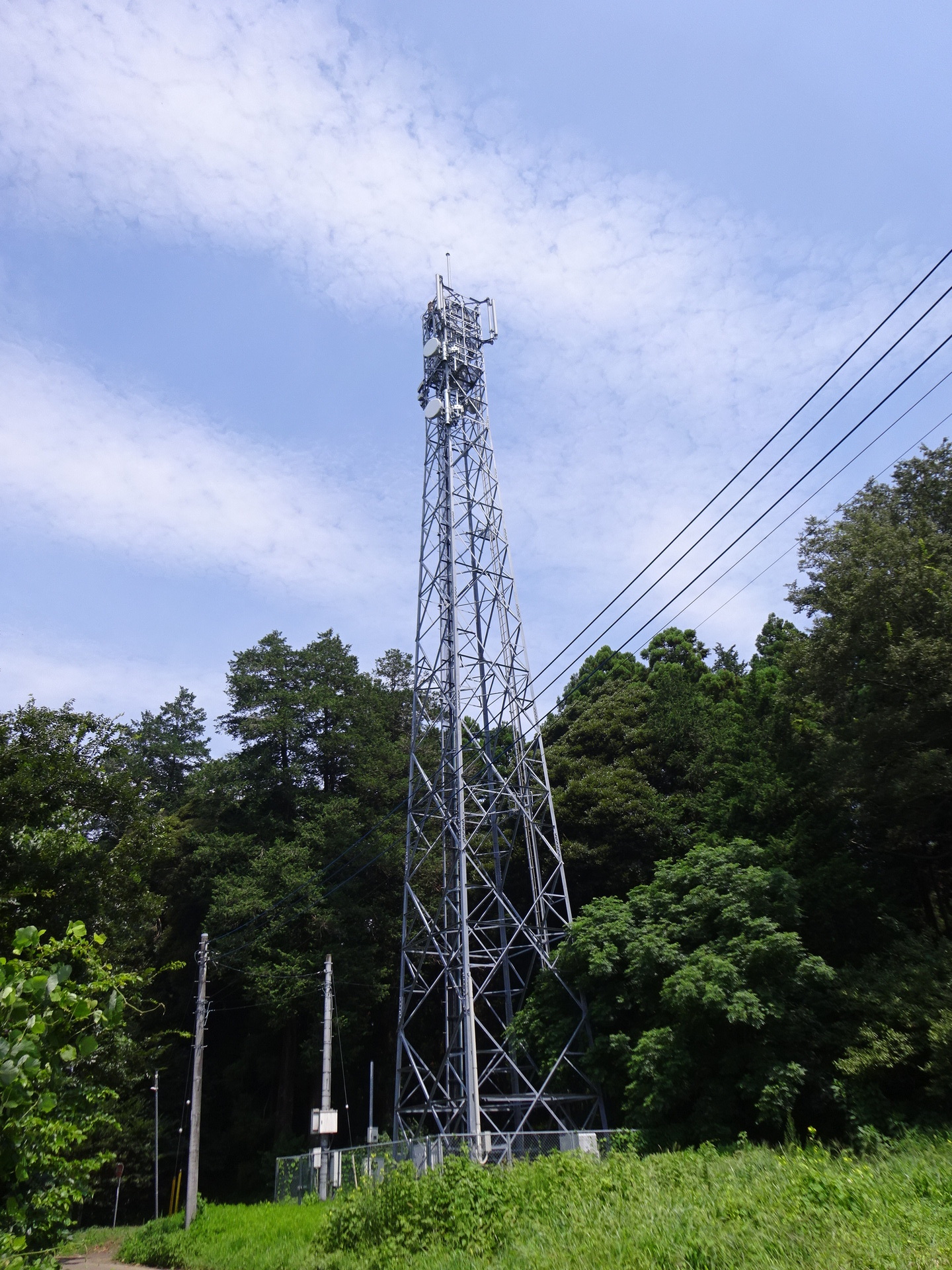
Tower from the east.
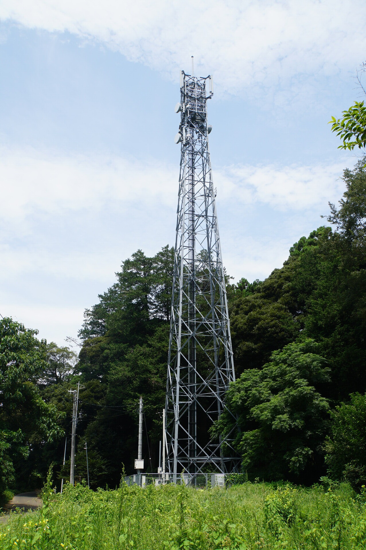
Tower from the west.
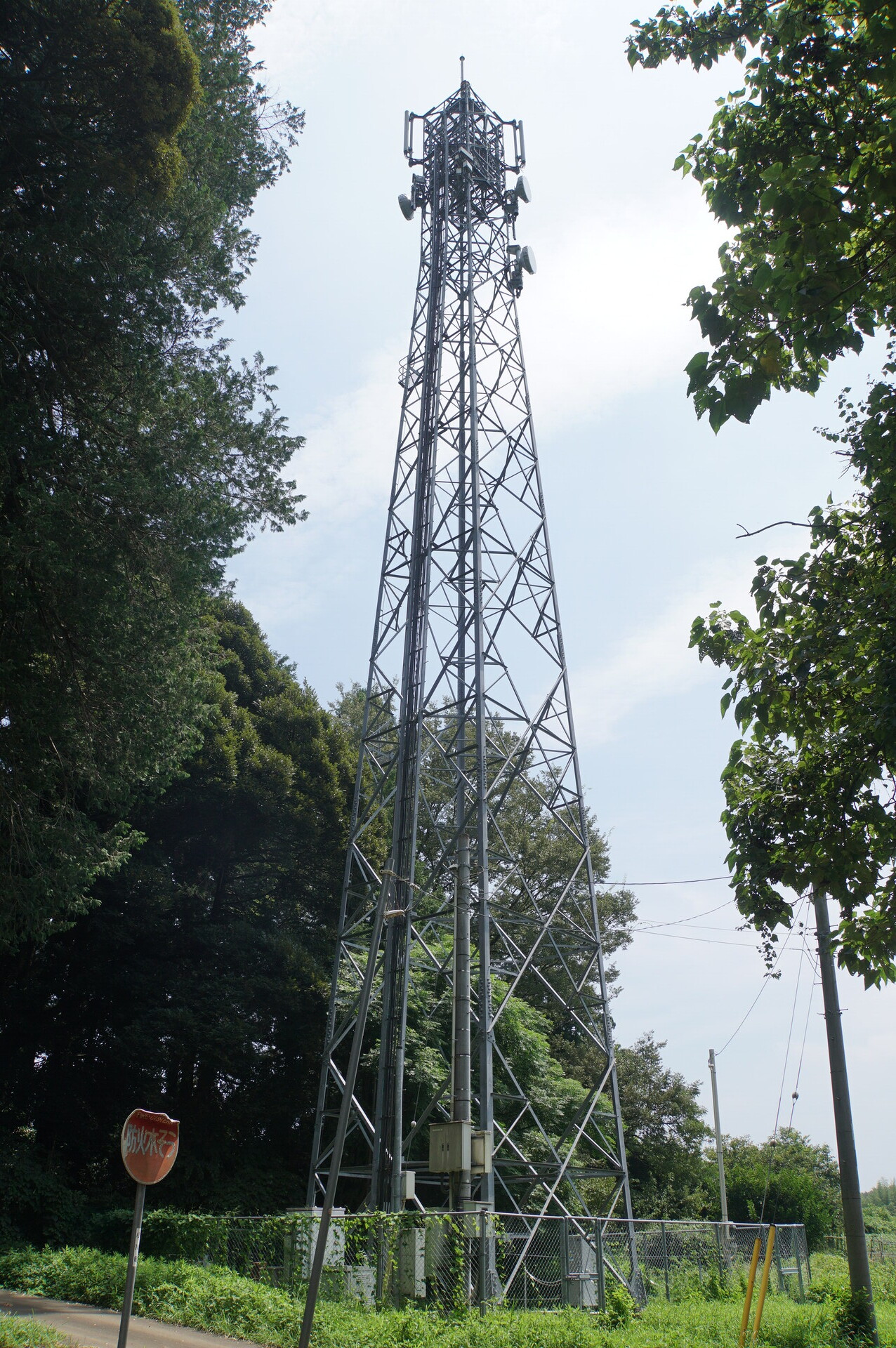
Ground-level equipment from the east.
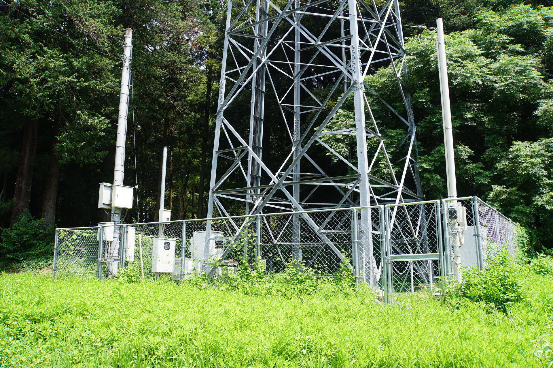
Ground-level equipment from the west.
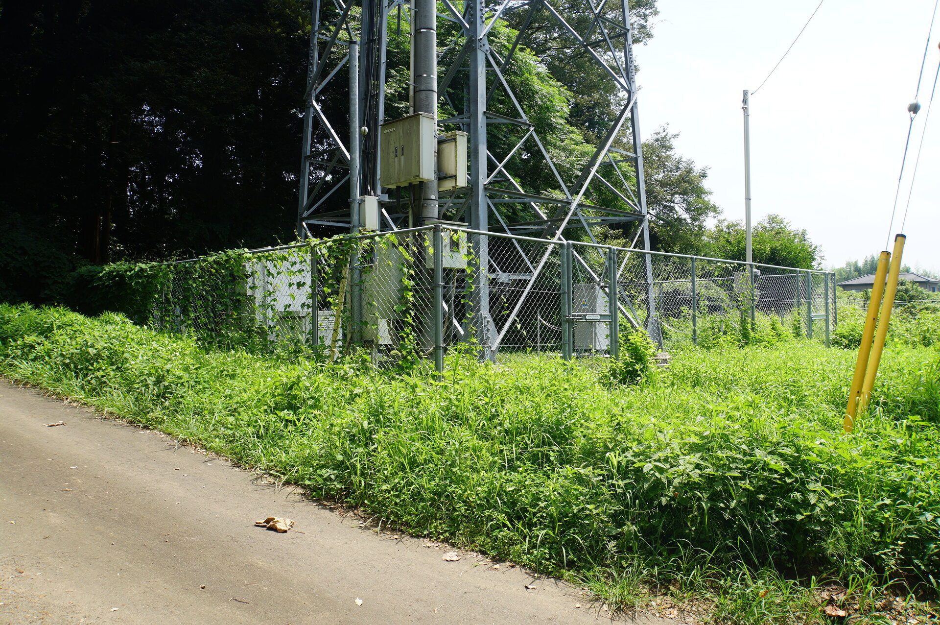
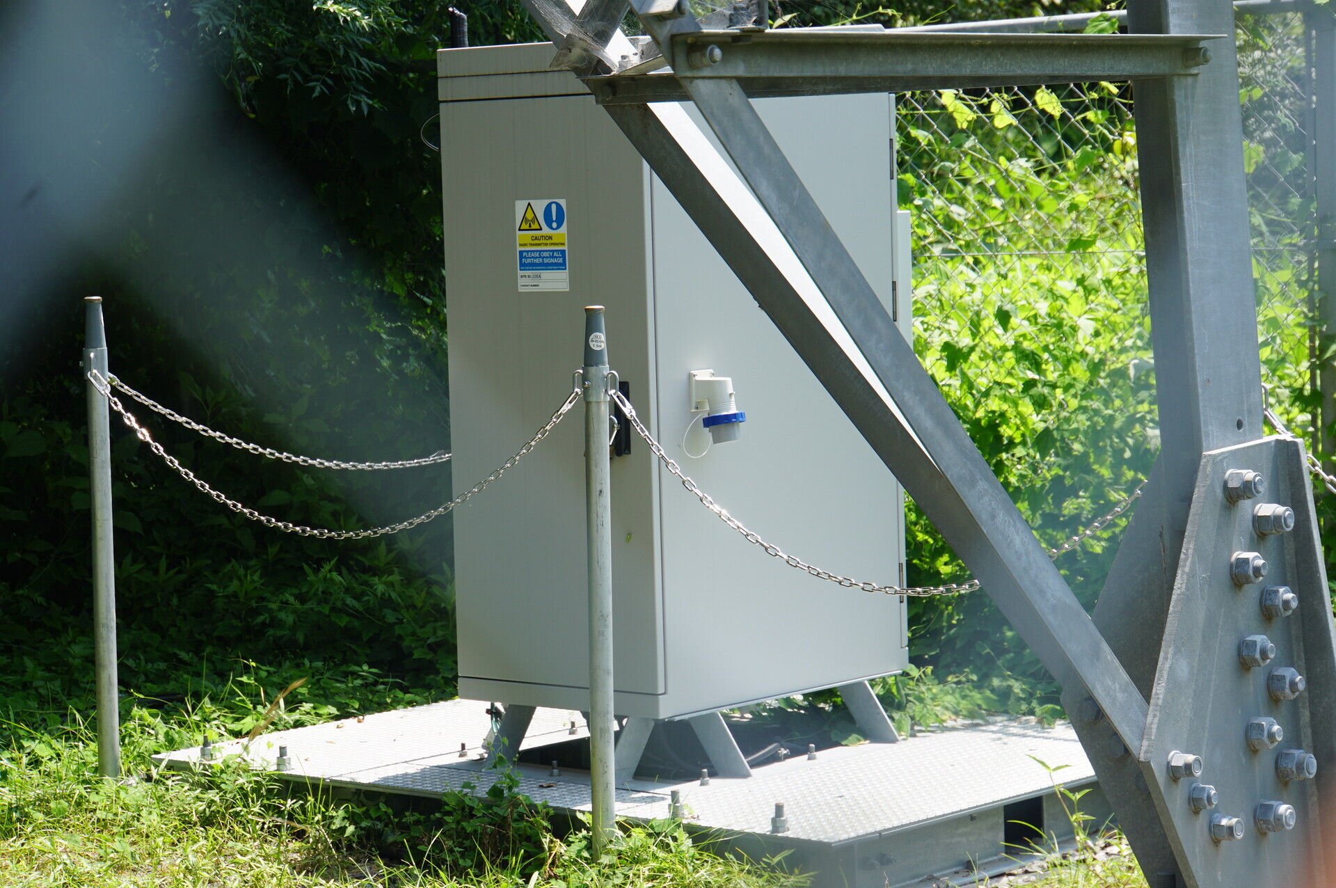
Tired of seeing it yet? The familiar rack stands here too.
Dishes
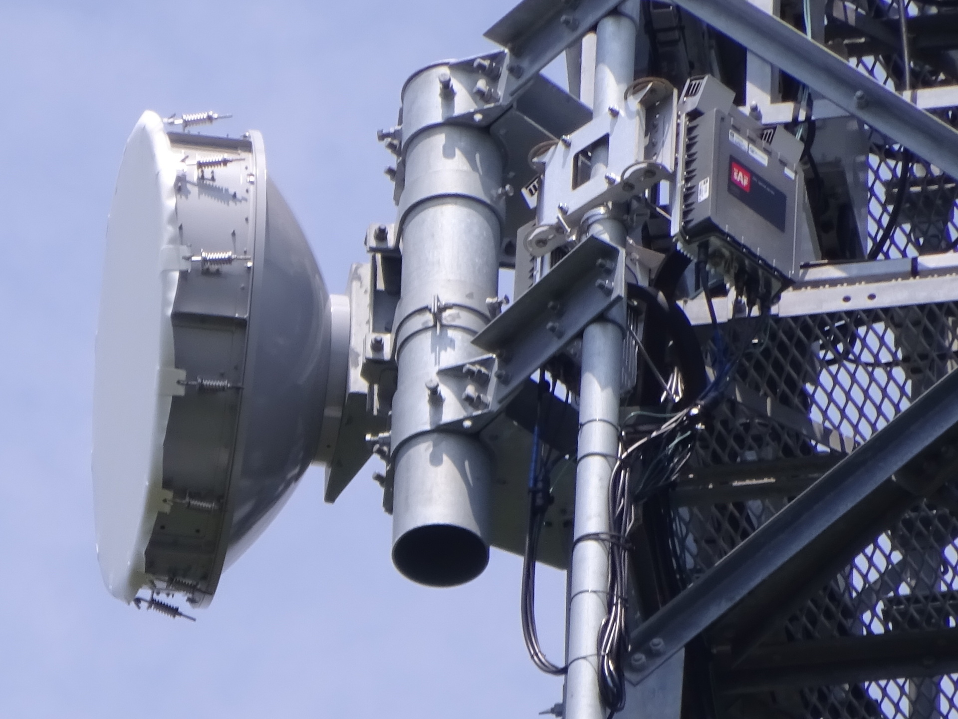
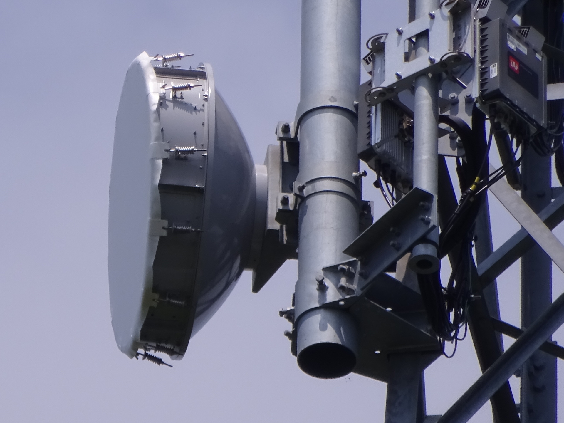
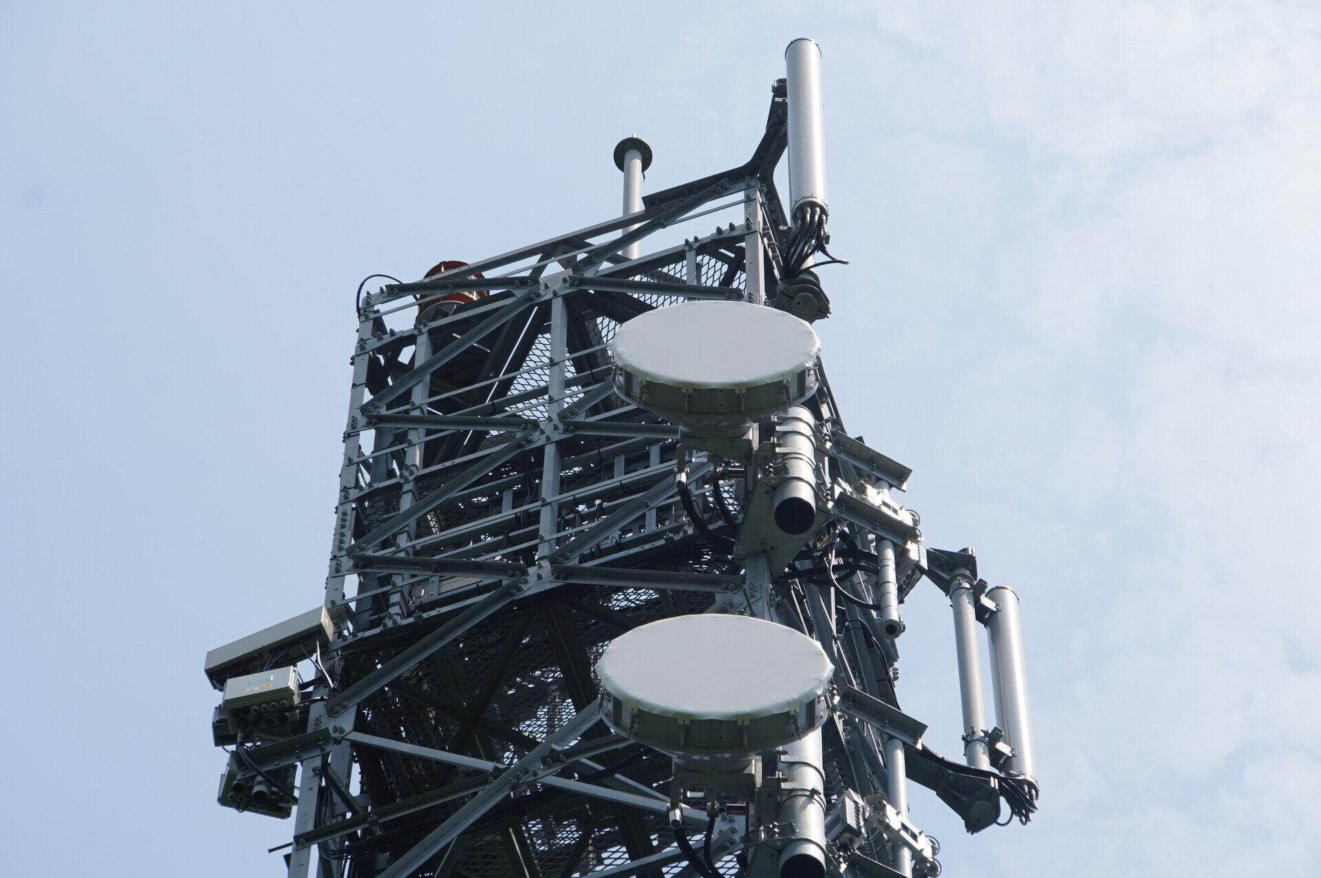
Both directions in view.
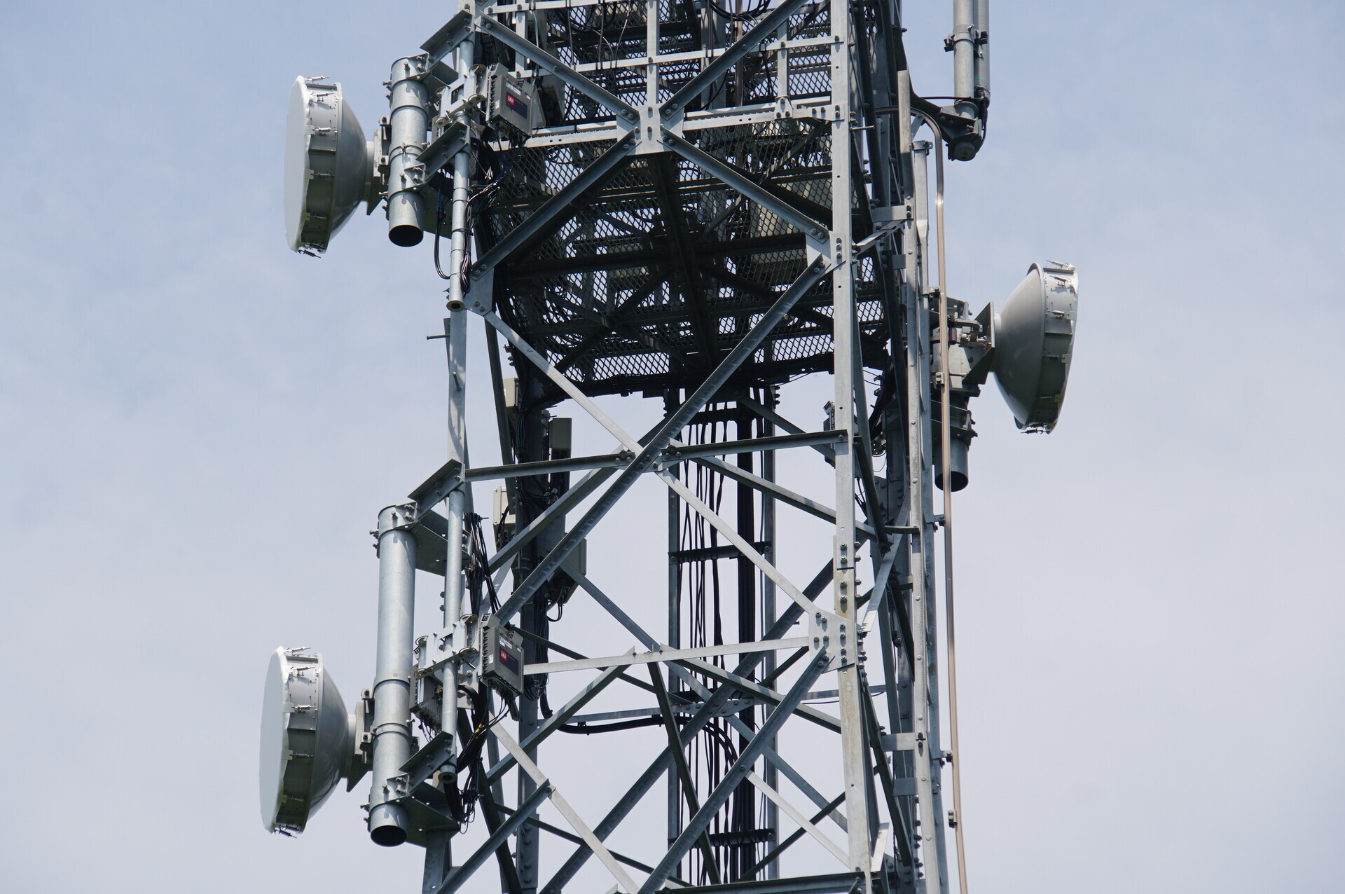
The antenna facing right—northeast, toward Hokota Minowa station.
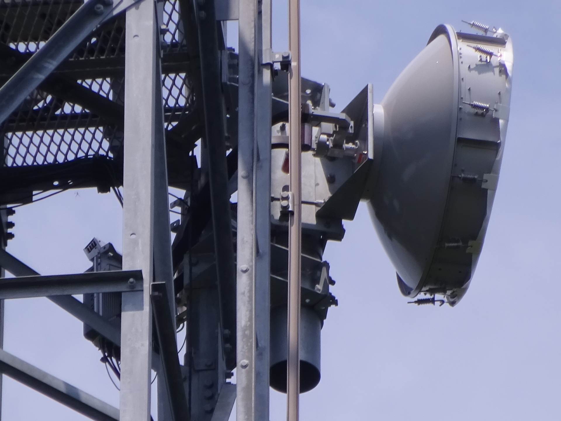
The antennas facing left—southwest, toward Ushiku Katsuracho station—upper then lower.
The Ushiku end also has space diversity, so that fits.
Identifiers
JTOWER's ID.
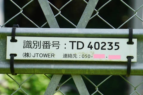
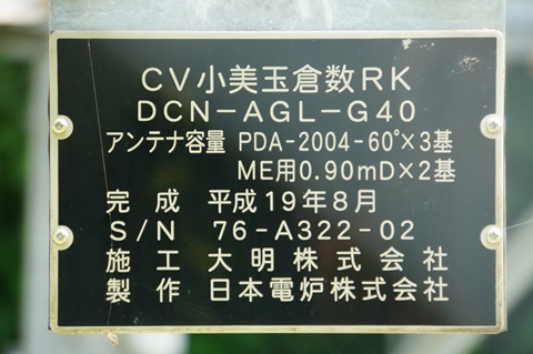
Its site name.
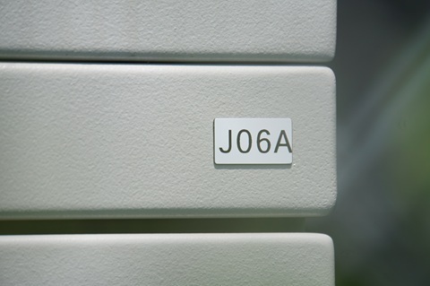
HBC's identifier. (Ushiku: J05A; Sawajiri: J06; Hokota Minowa: J07A; Ajigaura: J08.)
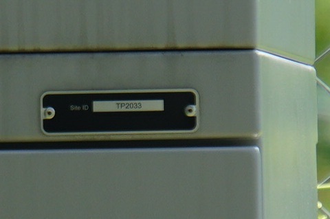
Its Site ID. (Ushiku: TP2020; Sawajiri: TP2024; Hokota Minowa: TP2031.)
Finding the next-hop bearing
Checking only the direction toward Ushiku. The opposite side is inside the woods, orz.
Southwest.
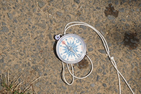
To Namegata station
Moving on. Depart Kurakazu at 11:12.
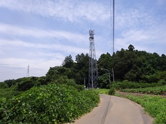
Right at Kamiyama intersection, then south for a while on Prefectural Route 50.
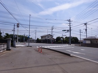
Left at Izumi-kita intersection, east onto National Route 364. [Translator's note: the original says 364 here, but 354 in the desk-research section above.]
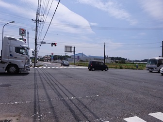
Oh, there it is! 11:47.
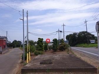
Maximum zoom. Victory.
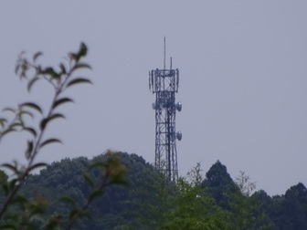
Climbing up from here.
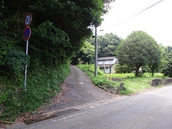
Full view of Kitaura Ryoshuku station (provisional name)
Enjoy.
The place name is pronounced Ryoshuku.
Tower
Arrived at 11:54. From the base on the north side.
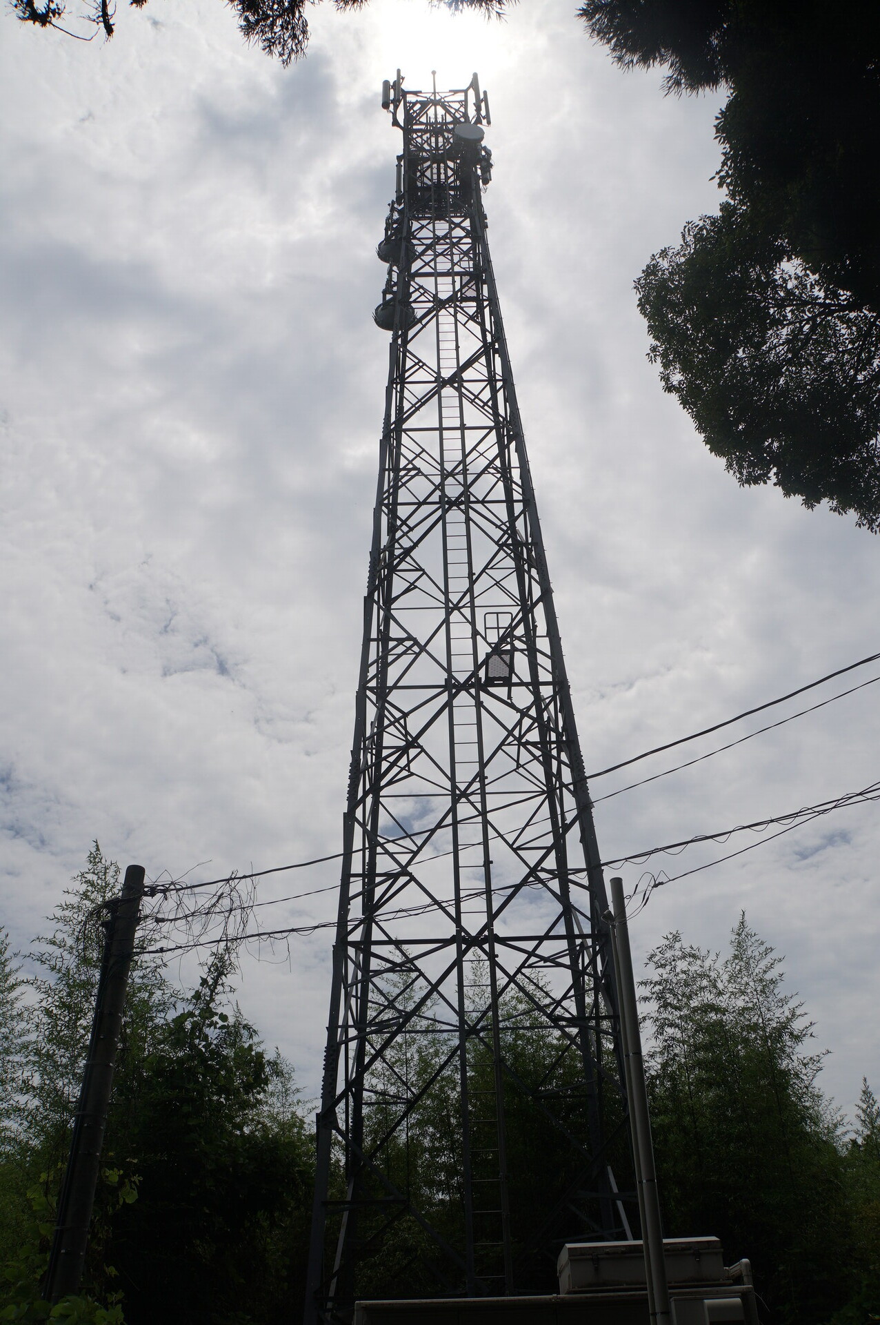
From the east.
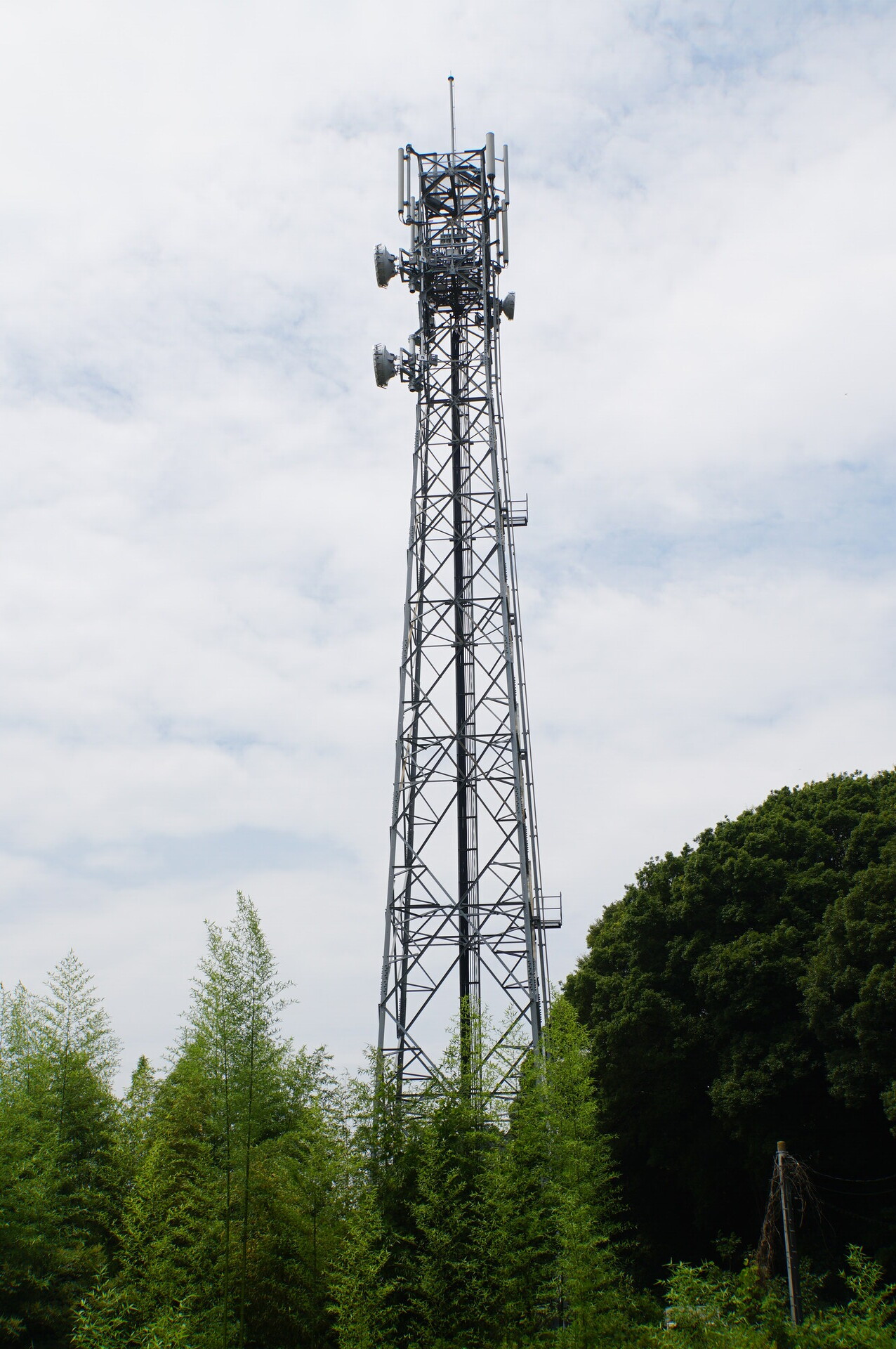
Upper tower.
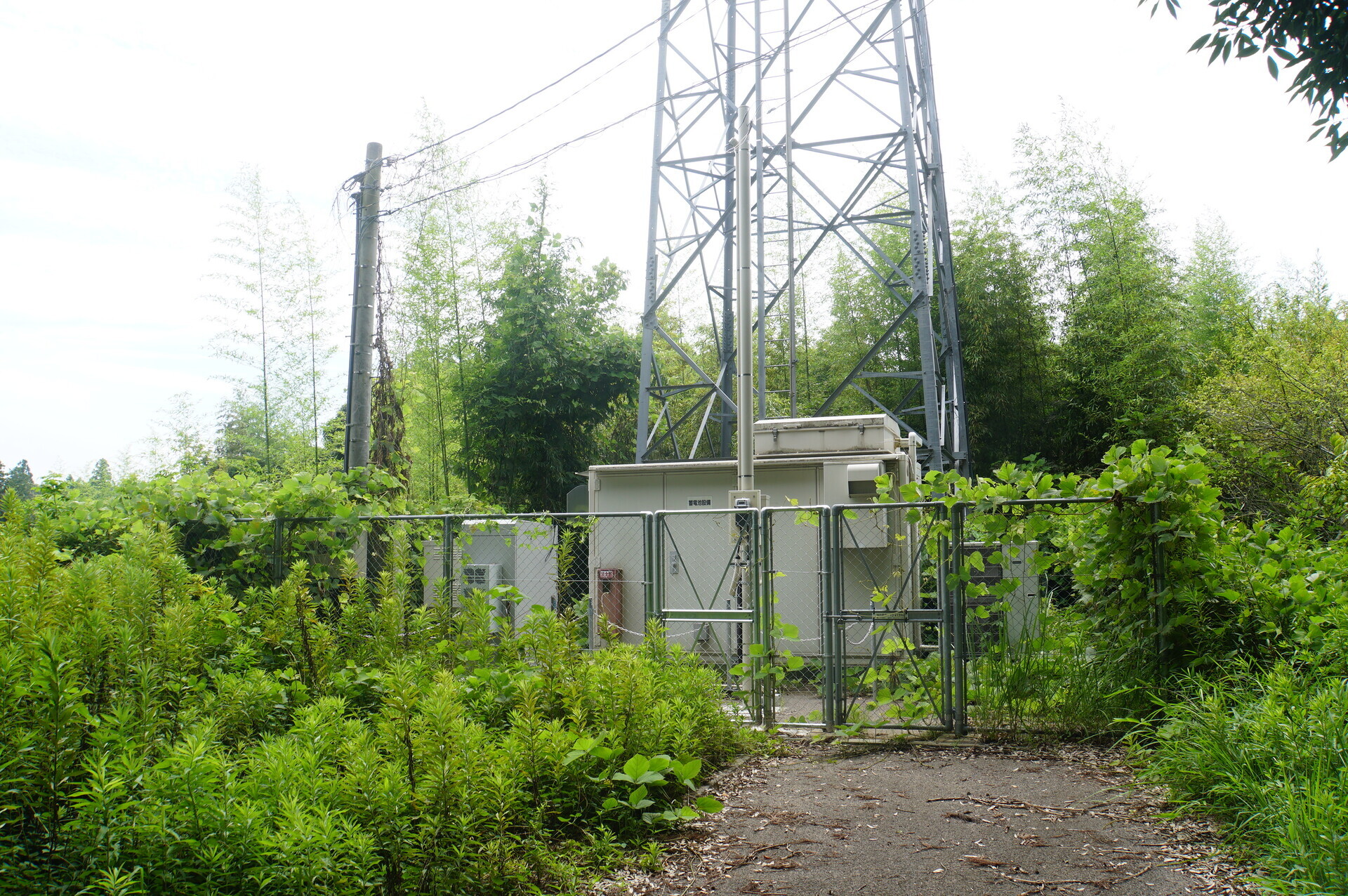
Facilities
It is gradually turning into Laputa [becoming overgrown].
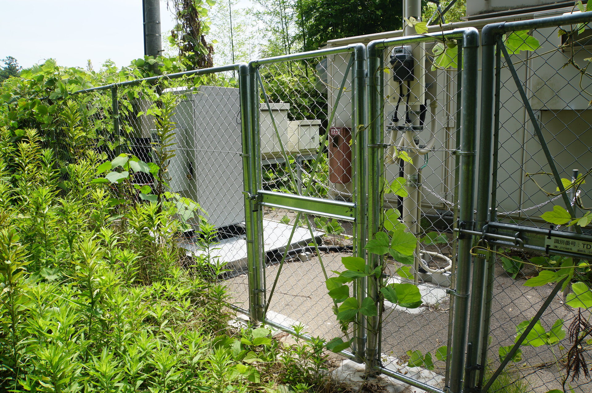
Rack.
The same arrangement as the other sites in this series: chain enclosure and a newly installed door.
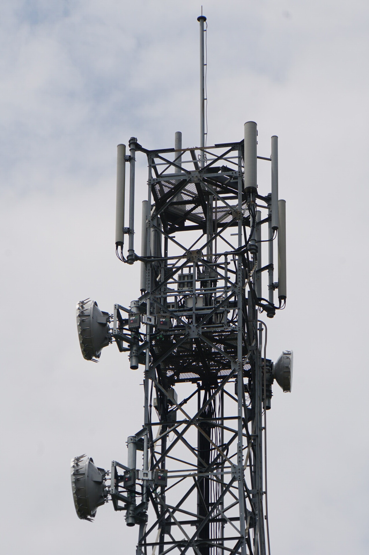
Dishes
The essential part.
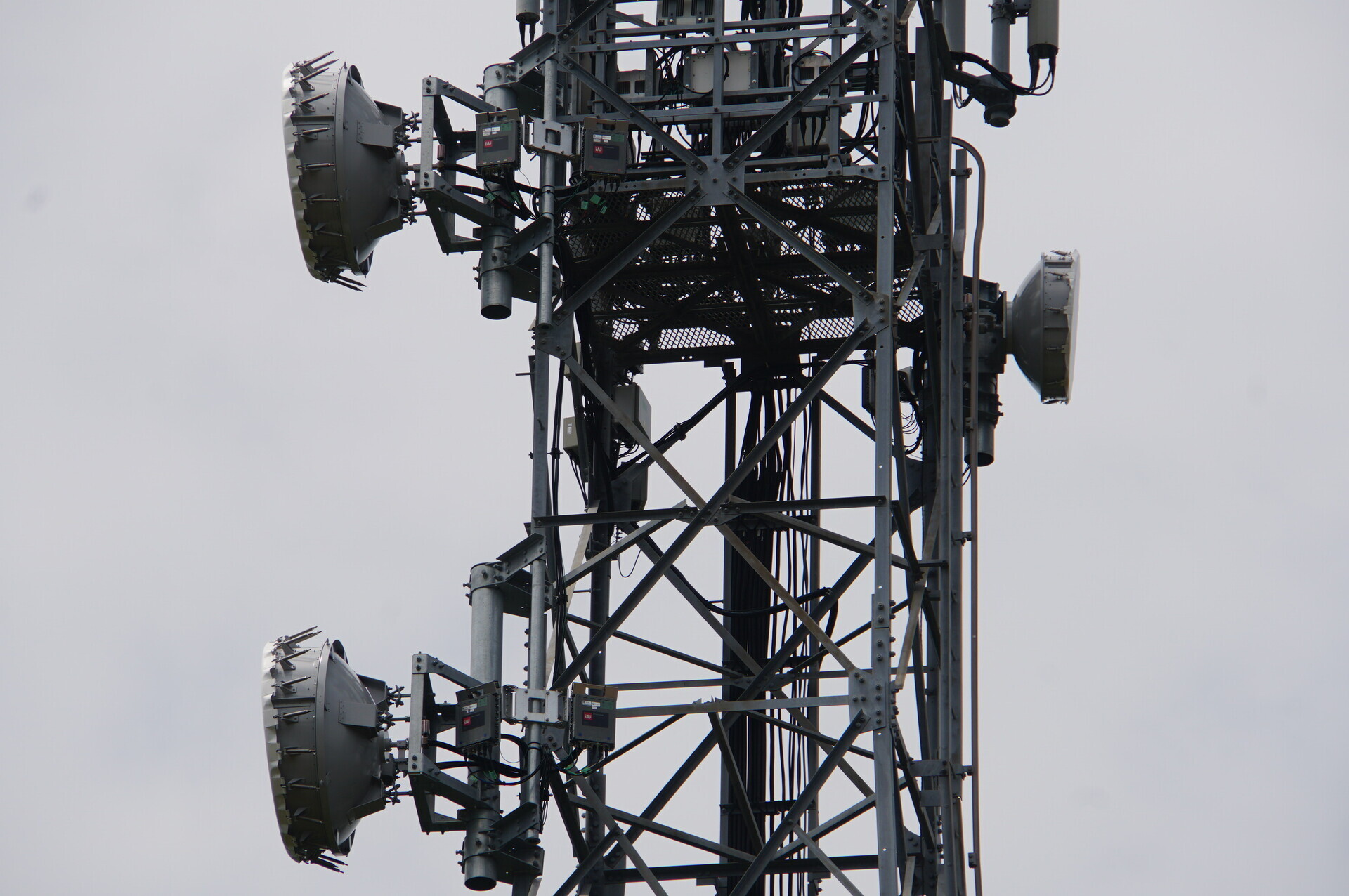
Facing right—northeast, toward Sawajiri in Hokota.
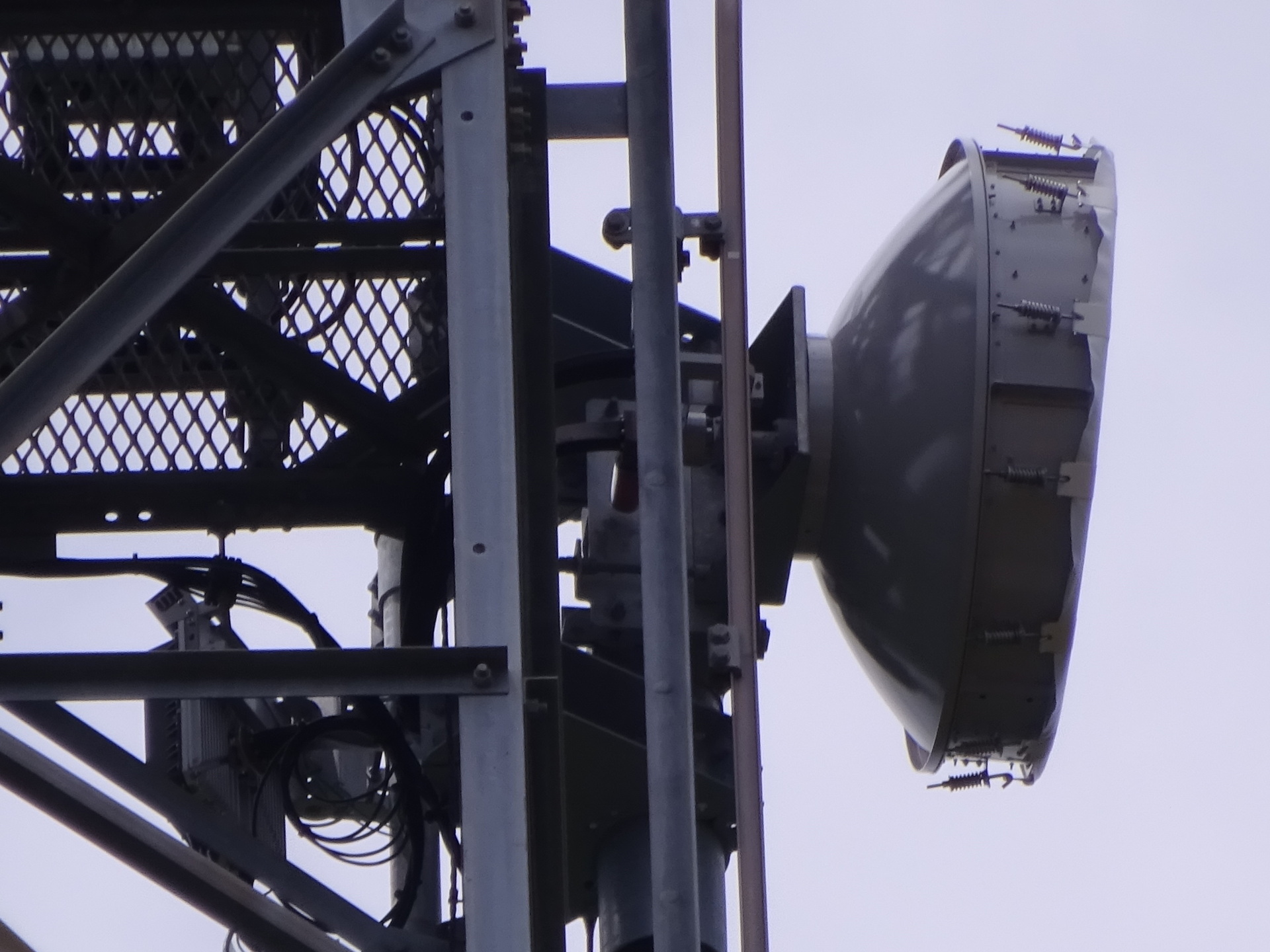
Upper antenna of the left-facing space-diversity pair—southwest, toward Narita.
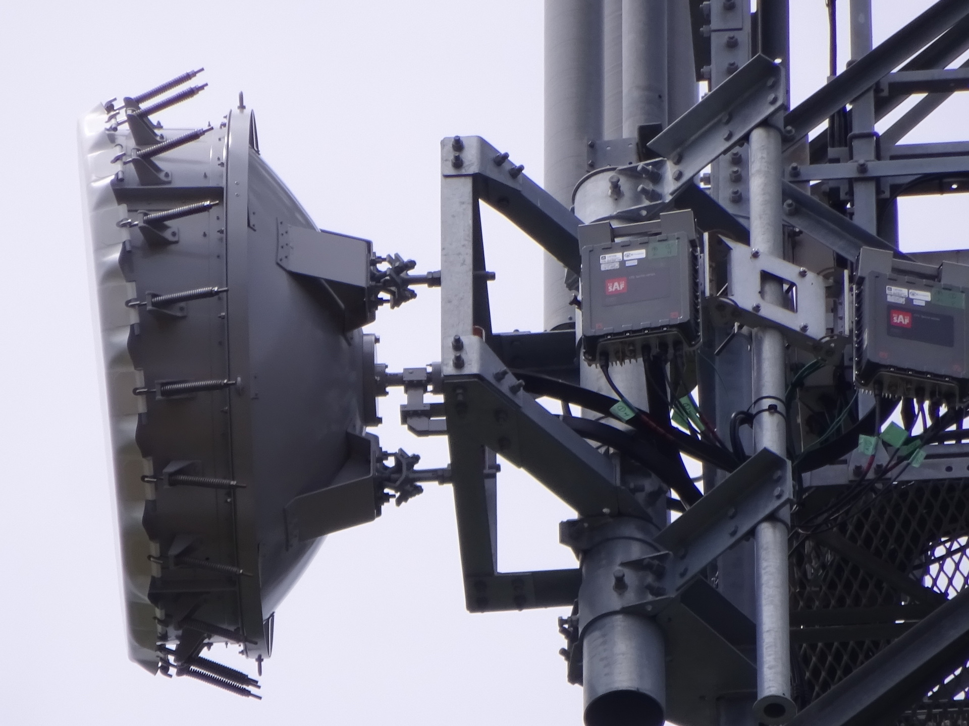
The lower antenna.
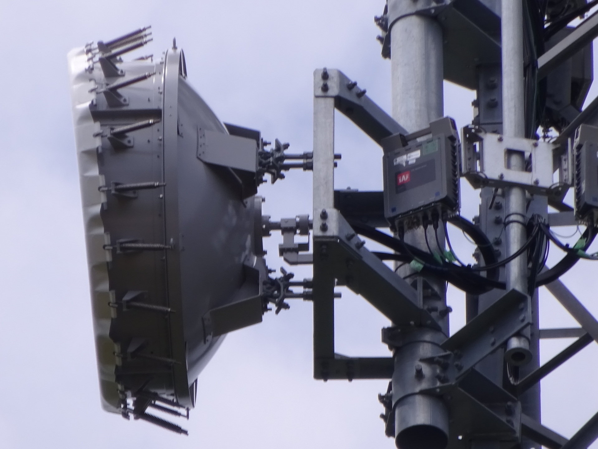
Identifiers
JTOWER's ID.
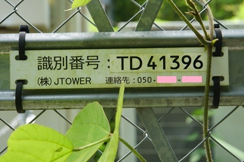
Its site name.
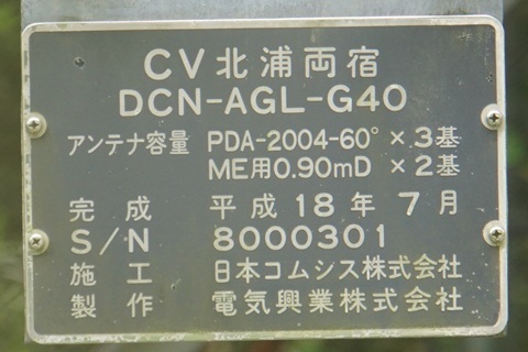
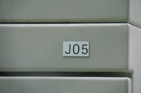
HBC's identifier. (Omitama: J06A; Ushiku: J05A; Sawajiri: J06; Hokota Minowa: J07A; Ajigaura: J08.)
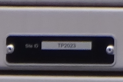
Its Site ID. (Omitama: TP2033; Ushiku: TP2020; Sawajiri: TP2024; Hokota Minowa: TP2031.)
Bearings
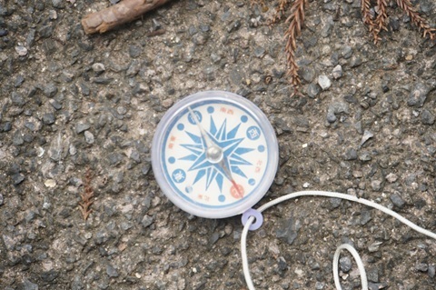
Facing Sawajiri station in Hokota.
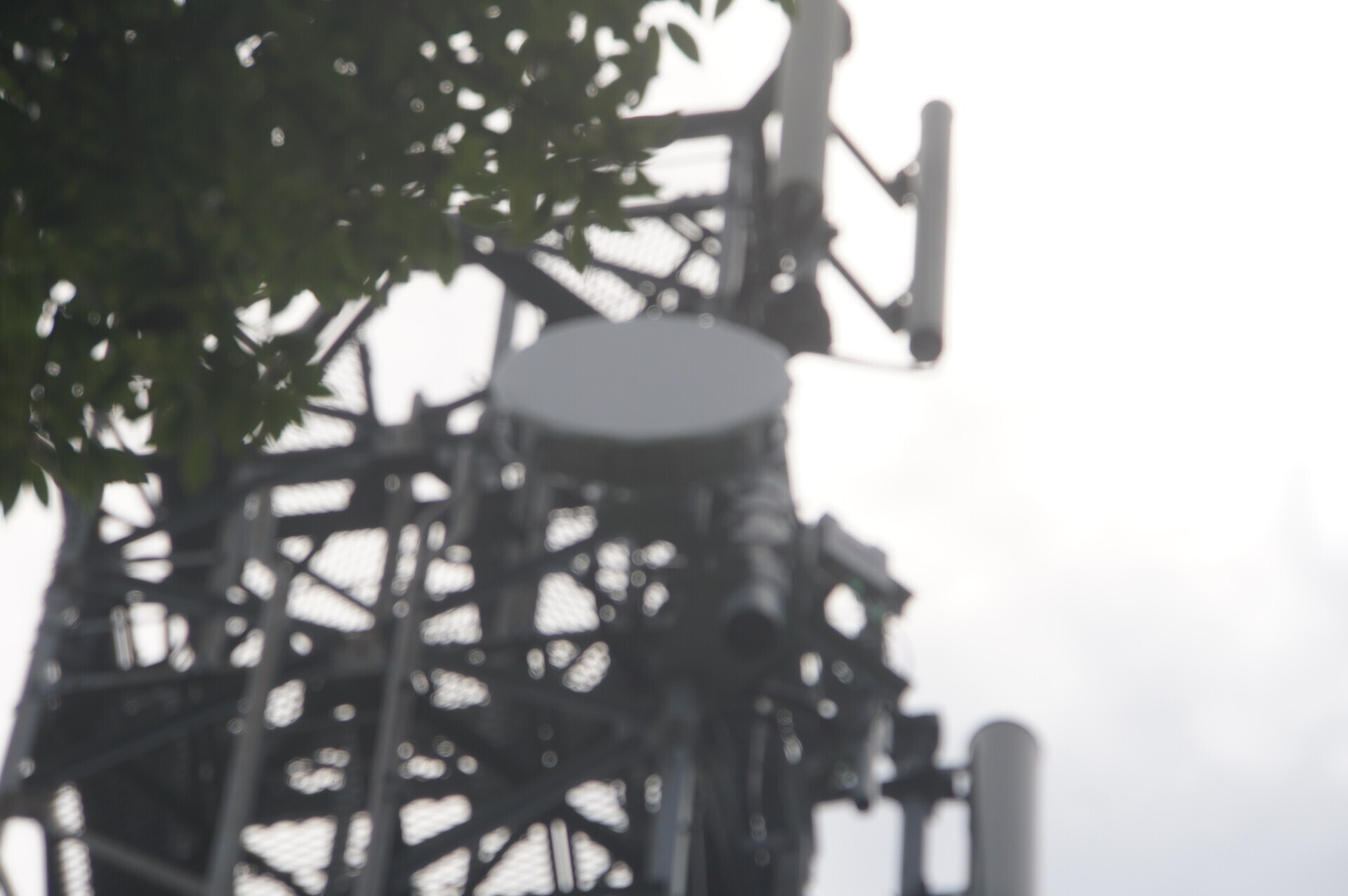
North-northeast.
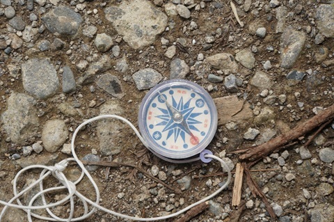
Facing Narita station, not yet identified.
It points into the woods, so I checked from behind.
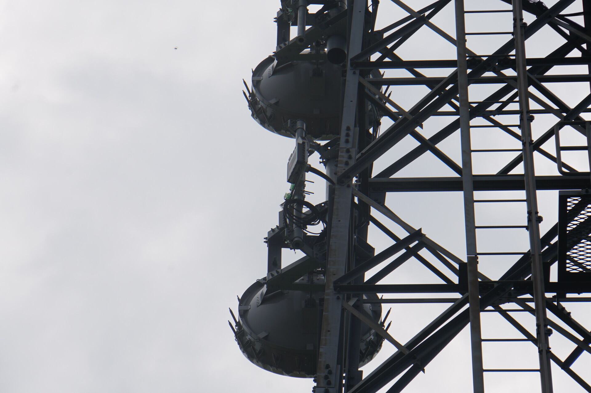
South-southwest.
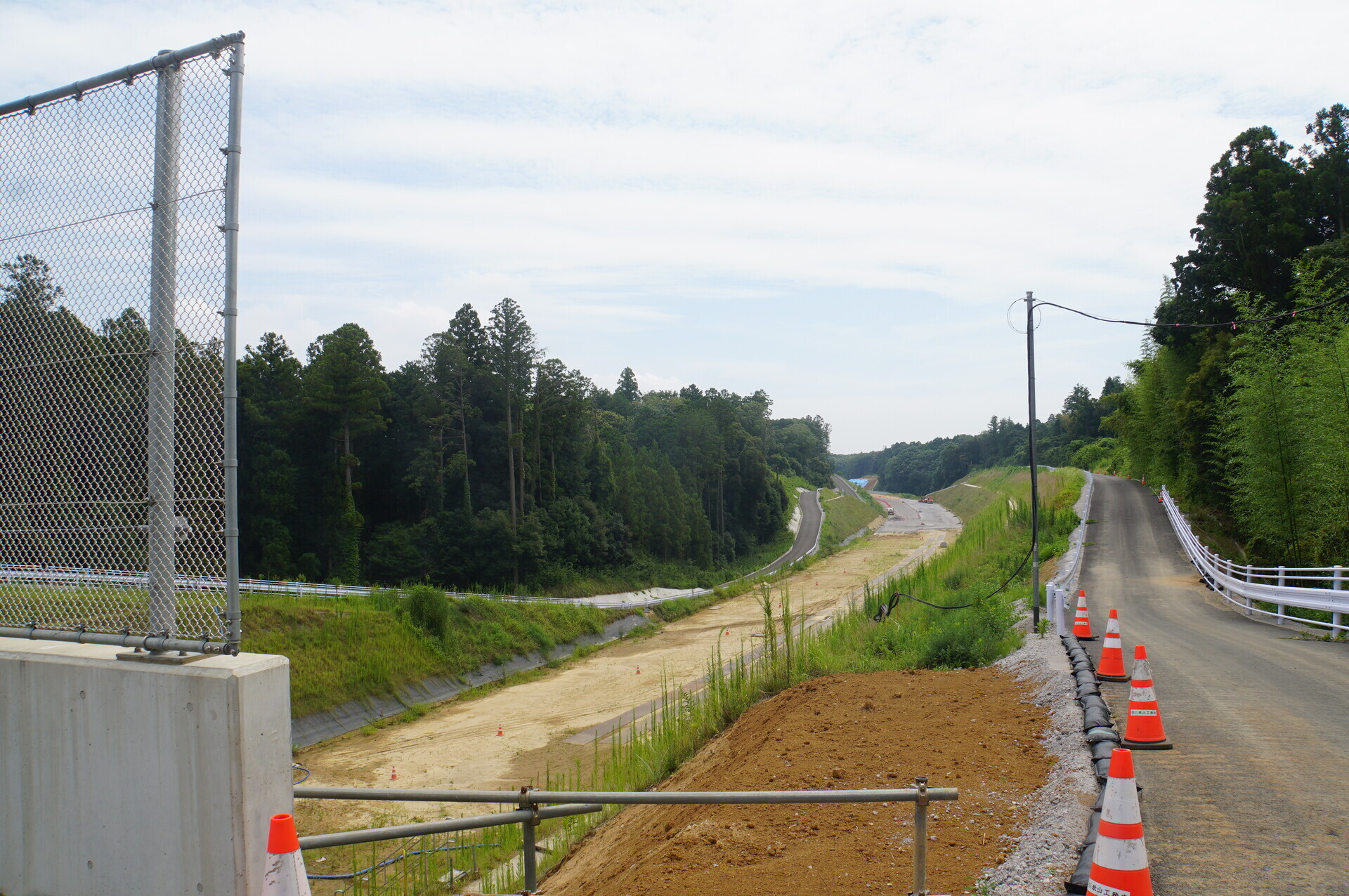
Higashi-Kanto Expressway construction
Immediately alongside to the east.
North side. Namegata Interchange is in the background; the tower stands to the left of this photograph.
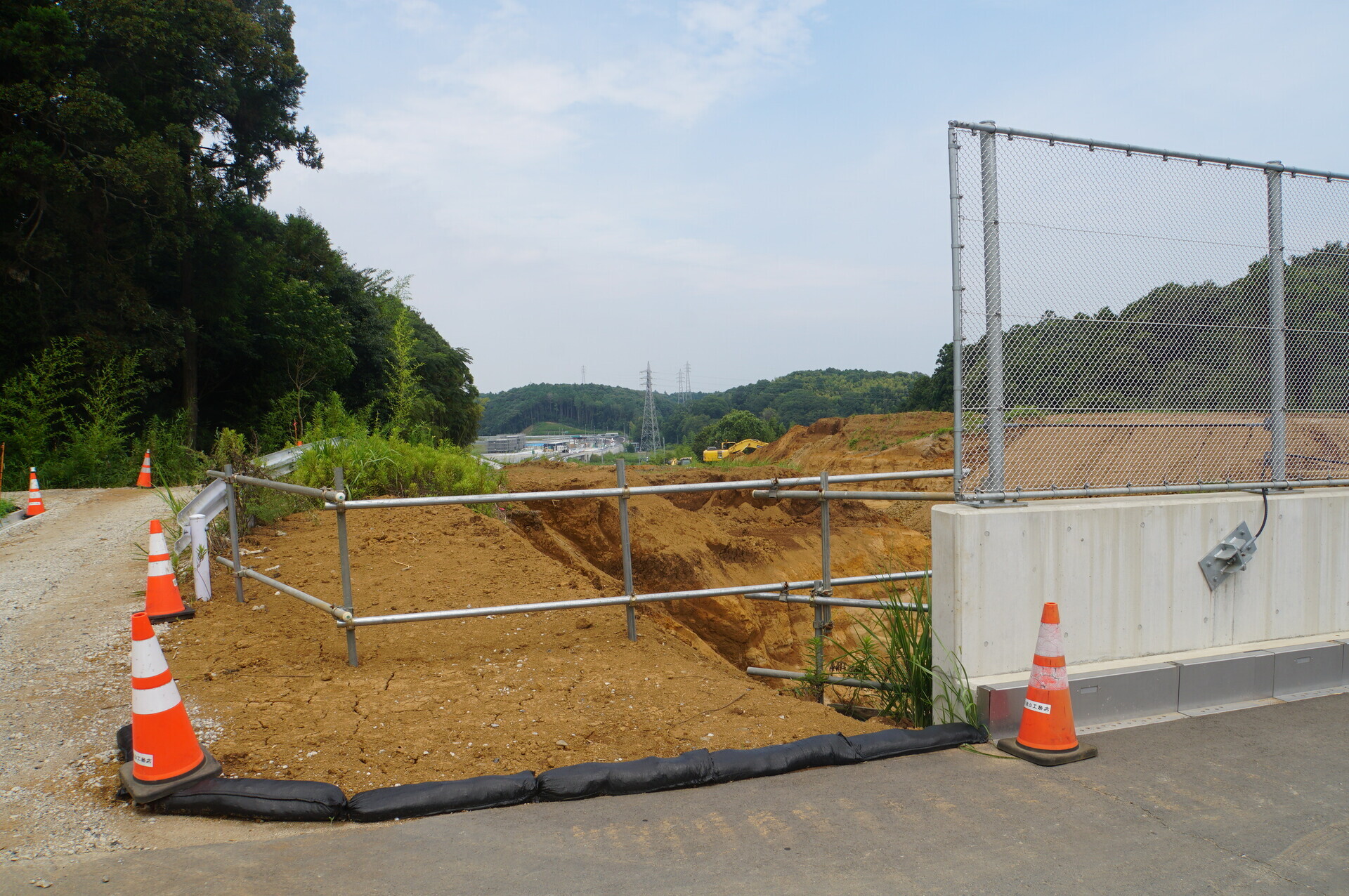
South side, toward Itako-Namegata Interchange. The tower stands to the right of this photograph.
Triumphant return
Let's go home. Depart 12:35.
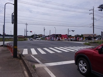
This time straight through Izumi-kita intersection, heading west.
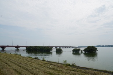
Back at Roadside Station Tamatsukuri, 13:08.
Two and a half hours until the next bus…
Roadside Station Tamatsukuri 15:49 → Tsuchiura Station west exit 17:00.
Tsuchiura 17:13 → Shimbashi 18:32 / 18:37 → Tamachi 18:40.
Roadside Station Tamatsukuri.
Tsuchiura.
Shimbashi.
Expenses
¥1,408: JR, Tamachi → Tsuchiura.
¥770: Kasumigaura regional bus, Tsuchiura Station west exit → Roadside Station Tamatsukuri.
¥1,000: e-bike rental.
¥770: Kasumigaura regional bus, Roadside Station Tamatsukuri → Tsuchiura Station west exit.
¥1,408: JR, Tsuchiura → Tamachi.
――――――――――――――
¥5,356 total.
Summary
Results through today.
Omitama station and Namegata station identified:
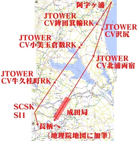
Omitama station
CV Omitama Kurakazu RK.
Head for Itamiya Shrine.
https://www.google.com/maps/place/@36.1508667,140.4117392,51m/data=!3m1!1e3
Namegata station
CV Kitaura Ryoshuku.
Climb toward Goko Shrine.
https://www.google.com/maps/@36.0982603,140.4911433,52m/data=!3m1!1e3
Overall view (click to enlarge).
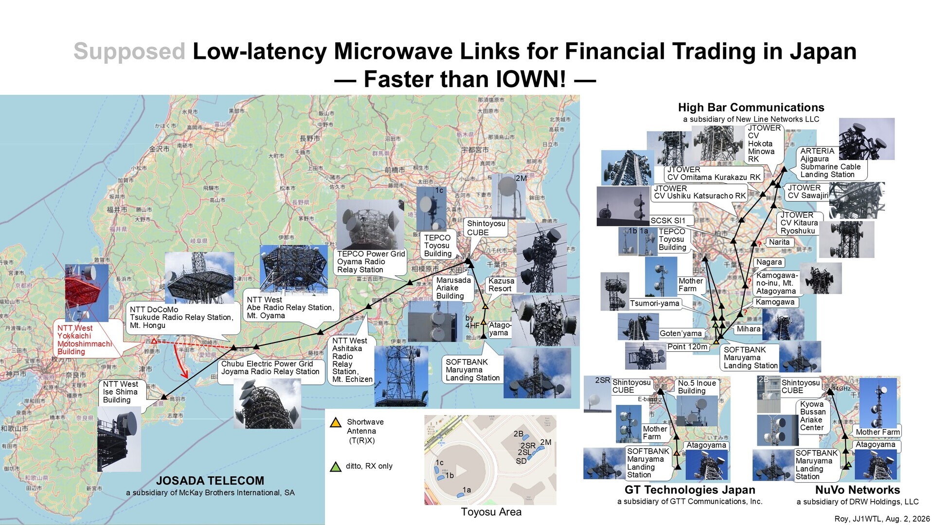
Earlier posts:
‘Microwave routes — Ajigaura / Inzai’
https://jj1wtl.seesaa.net/article/521035620.html (English translation)
‘Microwave routes — Hokota’
https://jj1wtl.seesaa.net/article/521116477.html (English translation)
‘Microwave routes — Ushiku’
https://jj1wtl.seesaa.net/article/521173162.html (English translation)
Please let me know if you see a JTOWER tower carrying dishes arranged almost back-to-back:
-
Nagara: the north side should have two directions, Inzai and Narita.
-
Narita: there should be two antennas on the northeast side. [Added August 5] Provisional location: 35.8386304,140.343749
The battlefield was shifting into Chiba Prefecture…
Comments
Translated from the comments in the archived original HTML. Author names and timestamps are retained as displayed; these are separate from the article.
おおつきあつし — 2026-08-04 21:54
I always read your posts with admiration for the extraordinary thoroughness of your investigations. A dish has been installed on the roof of a data centre in Akahama, Takahagi City. It seems that cable landing stations for routes from Hawaii and Canada have also been established in Takahagi.
大槻あつし — 2026-08-04 21:55
I always read your posts with admiration for the extraordinary thoroughness of your investigations. A dish has been installed on the roof of a data centre in Akahama, Takahagi City. It seems that cable landing stations for routes from Hawaii and Canada have also been established in Takahagi.