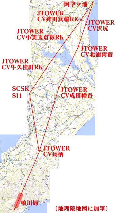
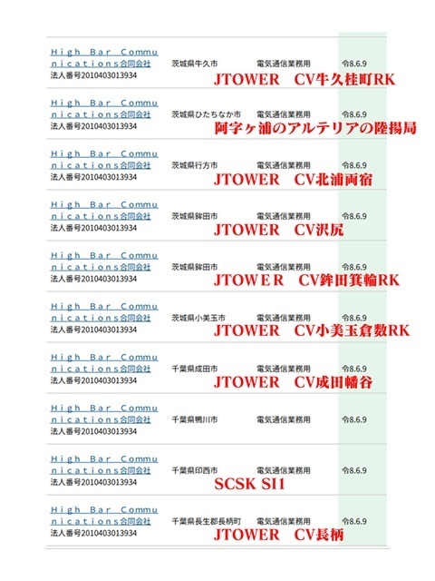
Microwave routes (Narita and Nagara)
Original: Ryota / JJ1WTL — 521307766 · Original Japanese HTML
Published: 2026-08-09T22:35:00+09:00
English translation of the archived article text. The author’s first-person observations, uncertainty and later additions are preserved; this is not the research summary. Image contents are preserved as images, not silently incorporated into the translated prose.
The fifth trip in the search for High Bar Communications’ northward route.
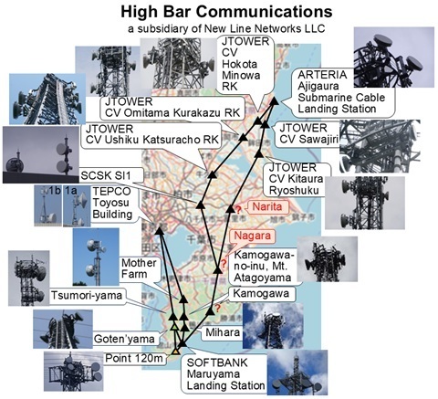
This time, the aim is to identify the Narita and Nagara stations, shown in red.
Desk research
Preparation is eighty per cent of the job.
Where things stood after the previous trip
So far, I have identified the stations in Hitachinaka, Hokota (two), Omitama, Namegata, Ushiku and Inzai.
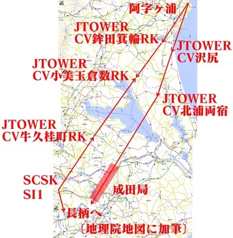
Narita station
Narrowing down the high ground where a station might be placed. [GSI map: custom colour-coded elevation map.]
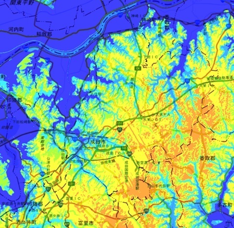
With that in mind, I systematically search Google Street View for towers and mark the candidates.
If dishes appear in Street View imagery from March or April, the search is over right there.
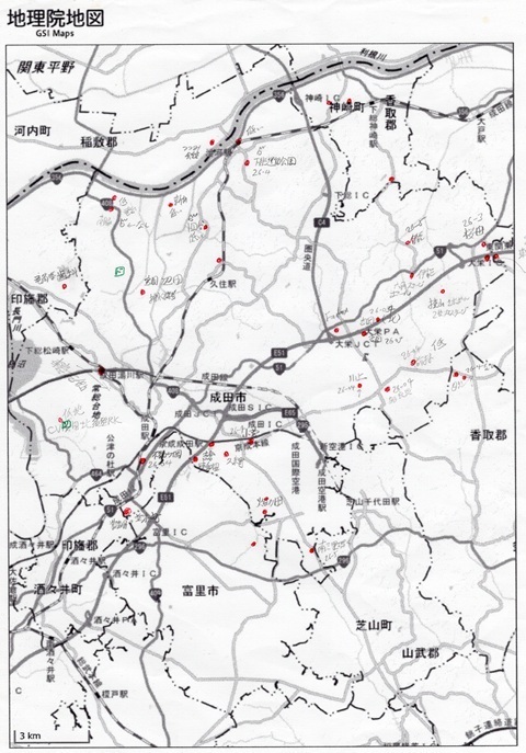
After two or three weeks of lunch breaks working up the above… Huh?
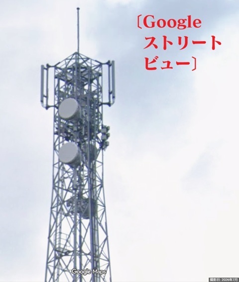
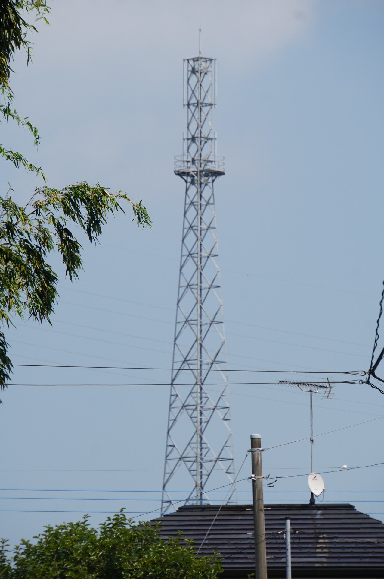
A tower northeast of Kuzumi Station on the Narita Line, marked with a radio-tower symbol on the GSI map:
https://www.google.com/maps/place/@35.8386853,140.3437484,52m/data=!3m1!1e3
The Google car ignored Prefectural Route 115 and took an utterly unexpected route.
And just last month, July.
Thank you for doing that for me.
Let’s make this the provisional location of Narita station.
Plotted on the map, it is at the star.
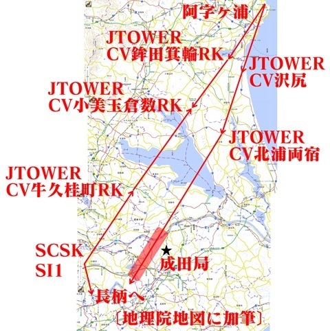
Nagara station
Since Narita looks as though it can be tackled precisely, I will do Nagara on the same trip.
First, finding the high ground where a station might be placed. [GSI map: custom colour-coded elevation map.]
The area around the highest point, a 173 m triangulation point, looks promising.
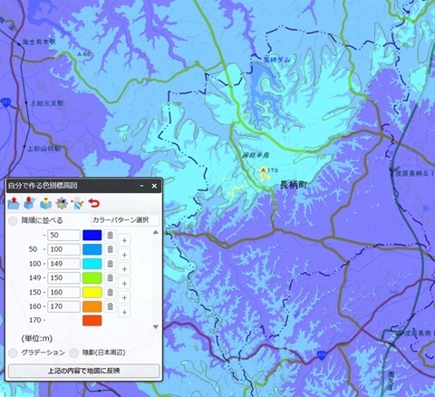
There are two stations near the 173 m point.
I should also check the hill to the east, with clear views north and south.
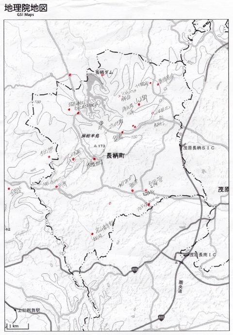
The rest is fieldwork!
To Narita
Sunday, August 9.
Tamachi 4:52 → Tokyo 5:00 / 5:21 → Chiba 05:59 / 6:04 → Kuzumi 6:47.
Tamachi. Construction of the new Haneda line. Click to enlarge.
One track will be shifted here from the back.
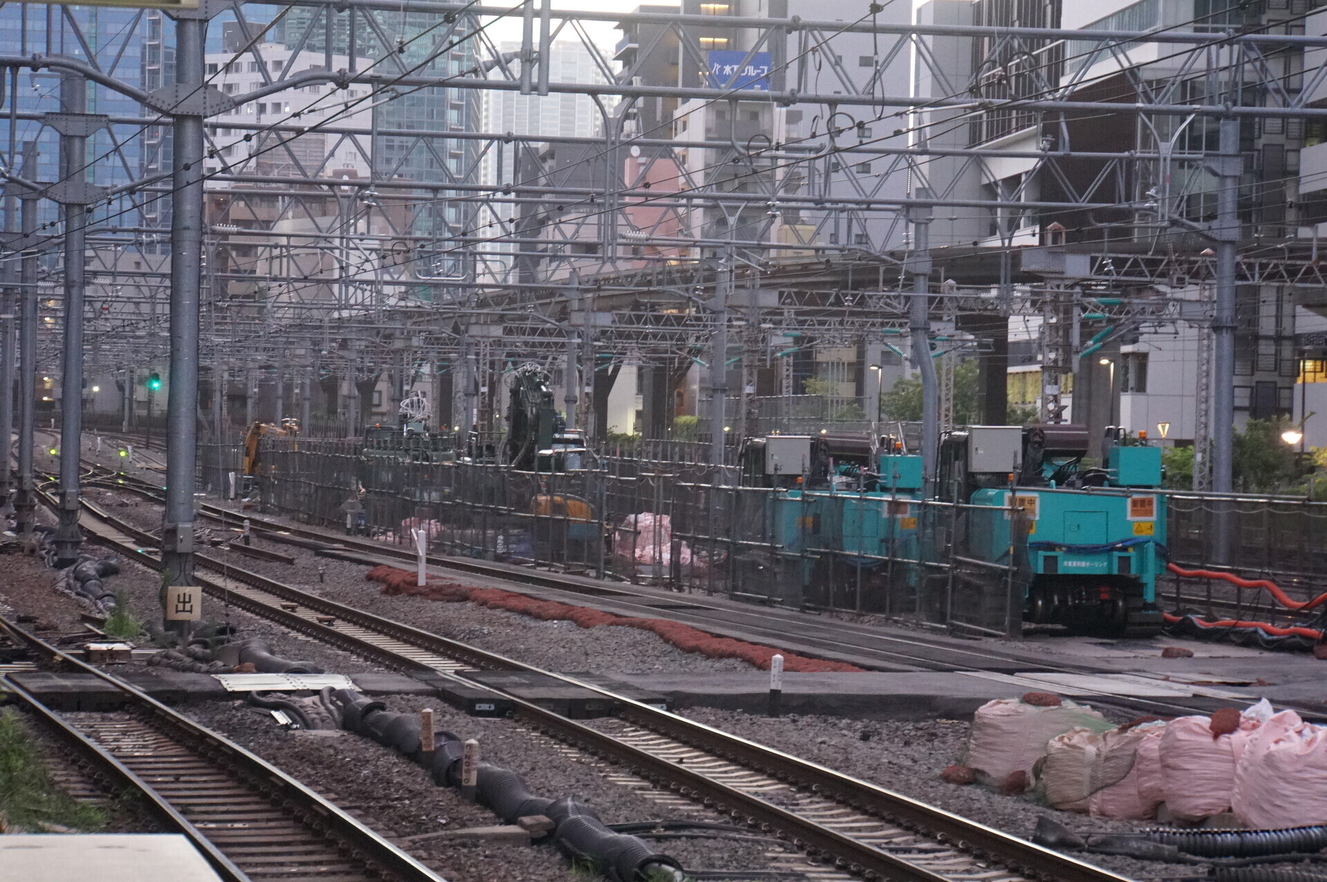
Tamachi.
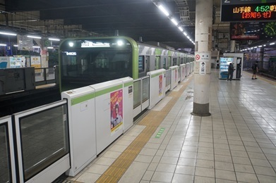
Tokyo.
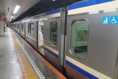
Chiba.
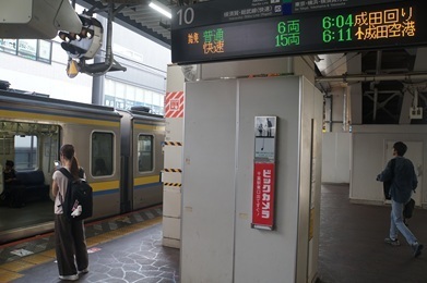
Arrived at Kuzumi.
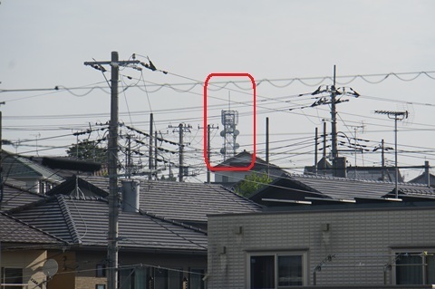
I climb onto the footbridge… It is visible already. You could have told me…
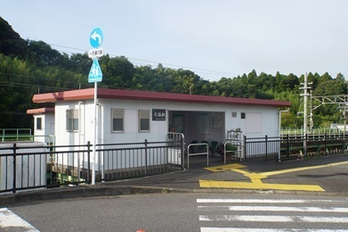
Leaving Kuzumi Station.
For some reason, the Street View imagery along the road running from the back to the right at this junction was updated in July.
Excellent work by the Google car.
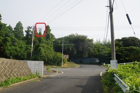
Without that, I would probably still be wandering all over Narita.
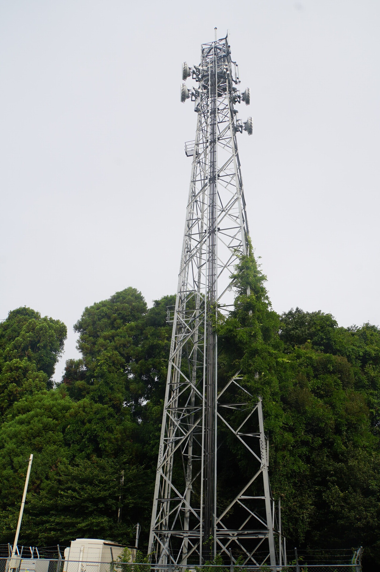
Narita Hataya station (provisional name): the whole picture
Enjoy.
The place name is pronounced Hataya.
The site
Arrived at 7:03.
The tower, from the east.
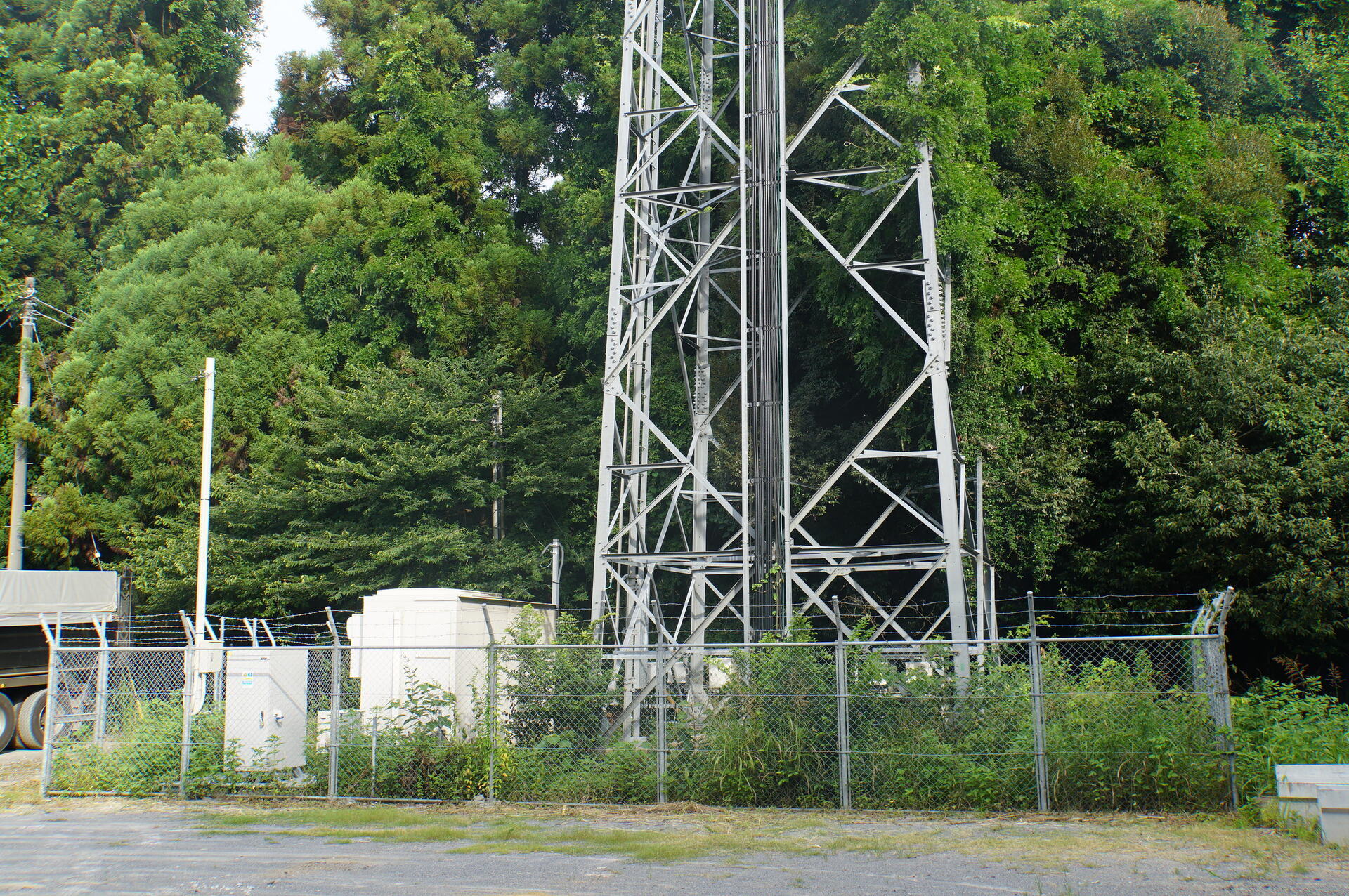
Ground-level equipment.
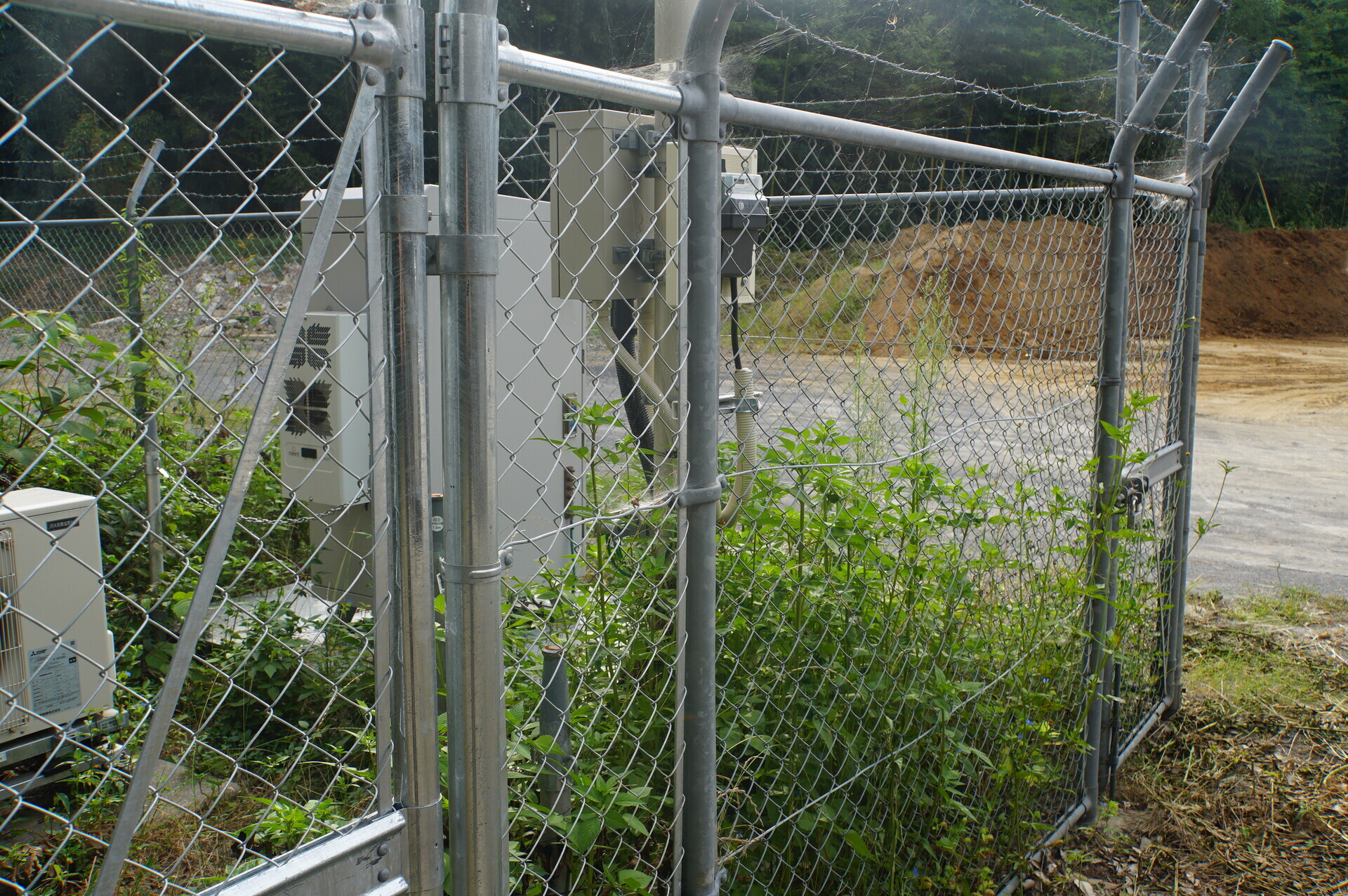
The usual rack, chain enclosure and gate.
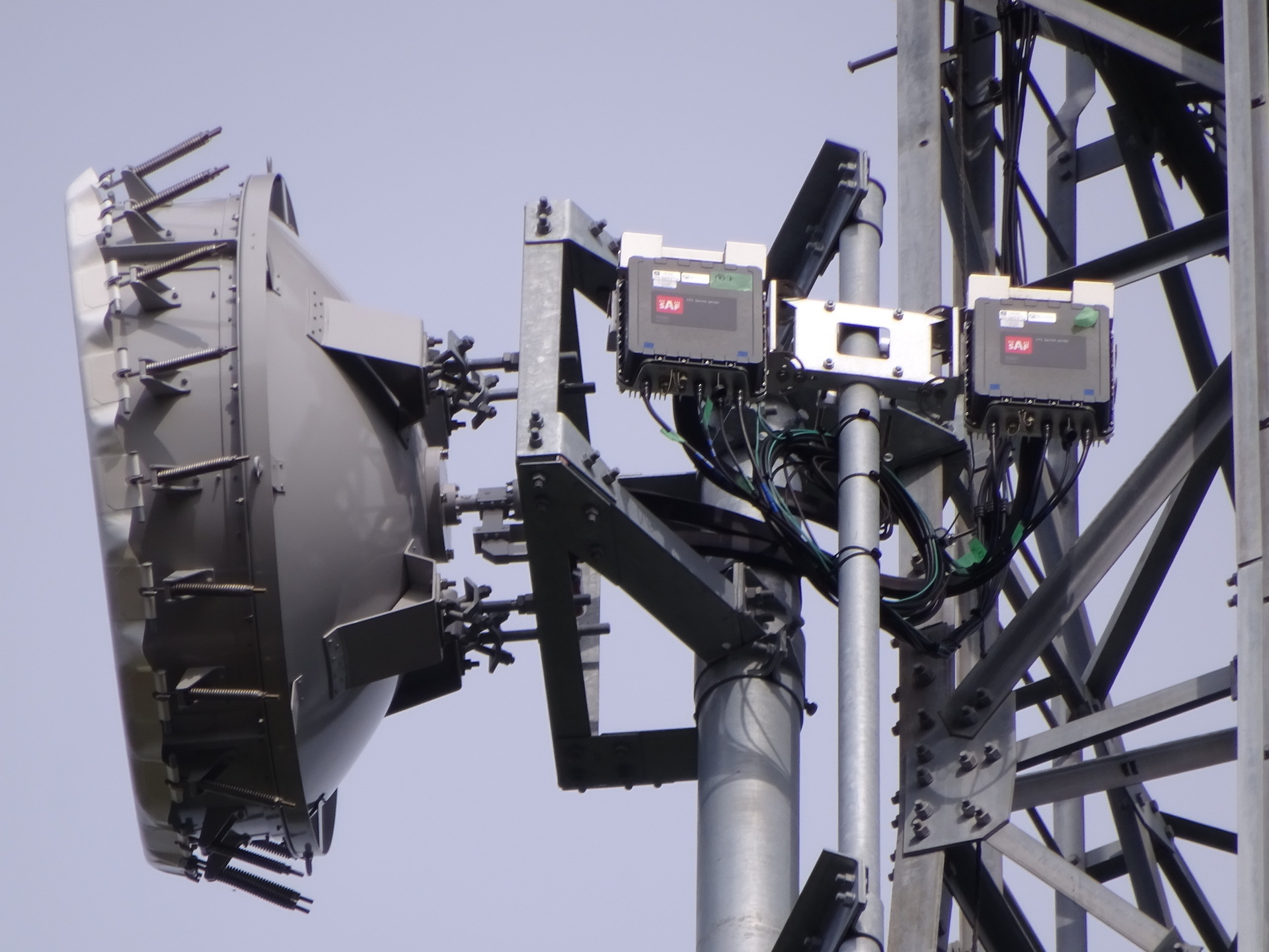
Dishes
Capturing both link directions.
The Nagara link also uses space diversity. It is a long way, after all.
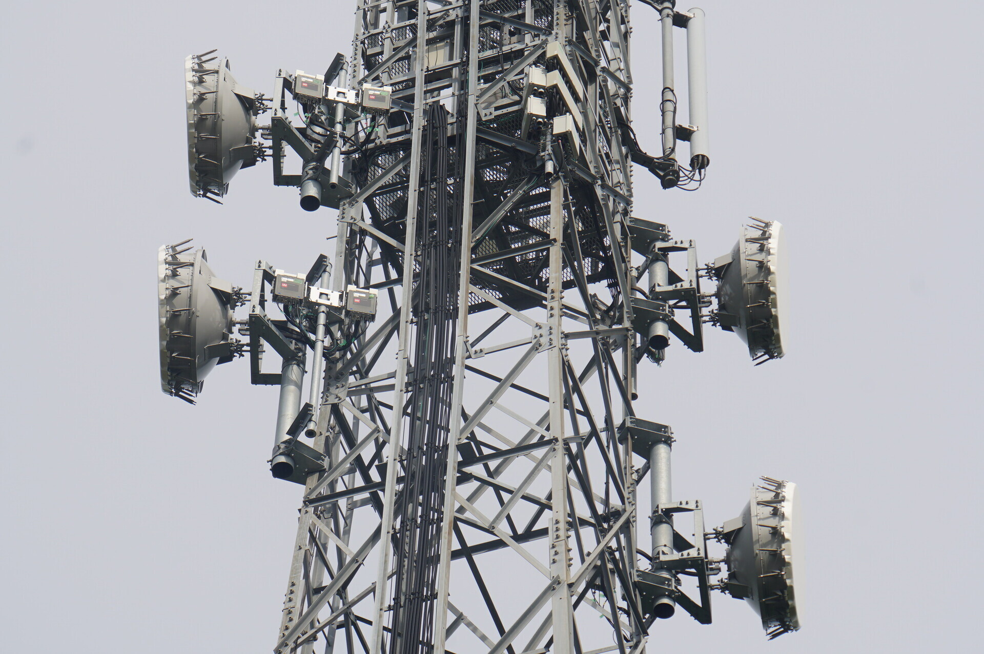
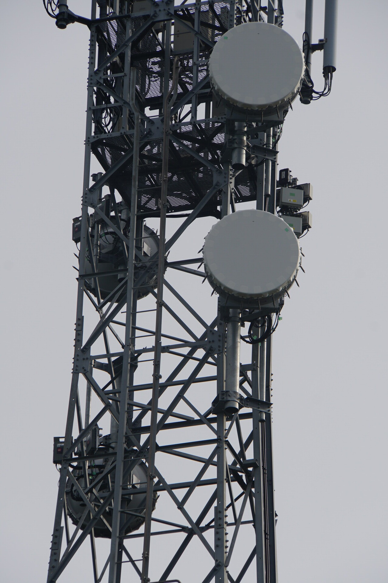
The right-hand antennas, facing north-northeast towards Kitaura Futayado station. Upper and lower, in that order.
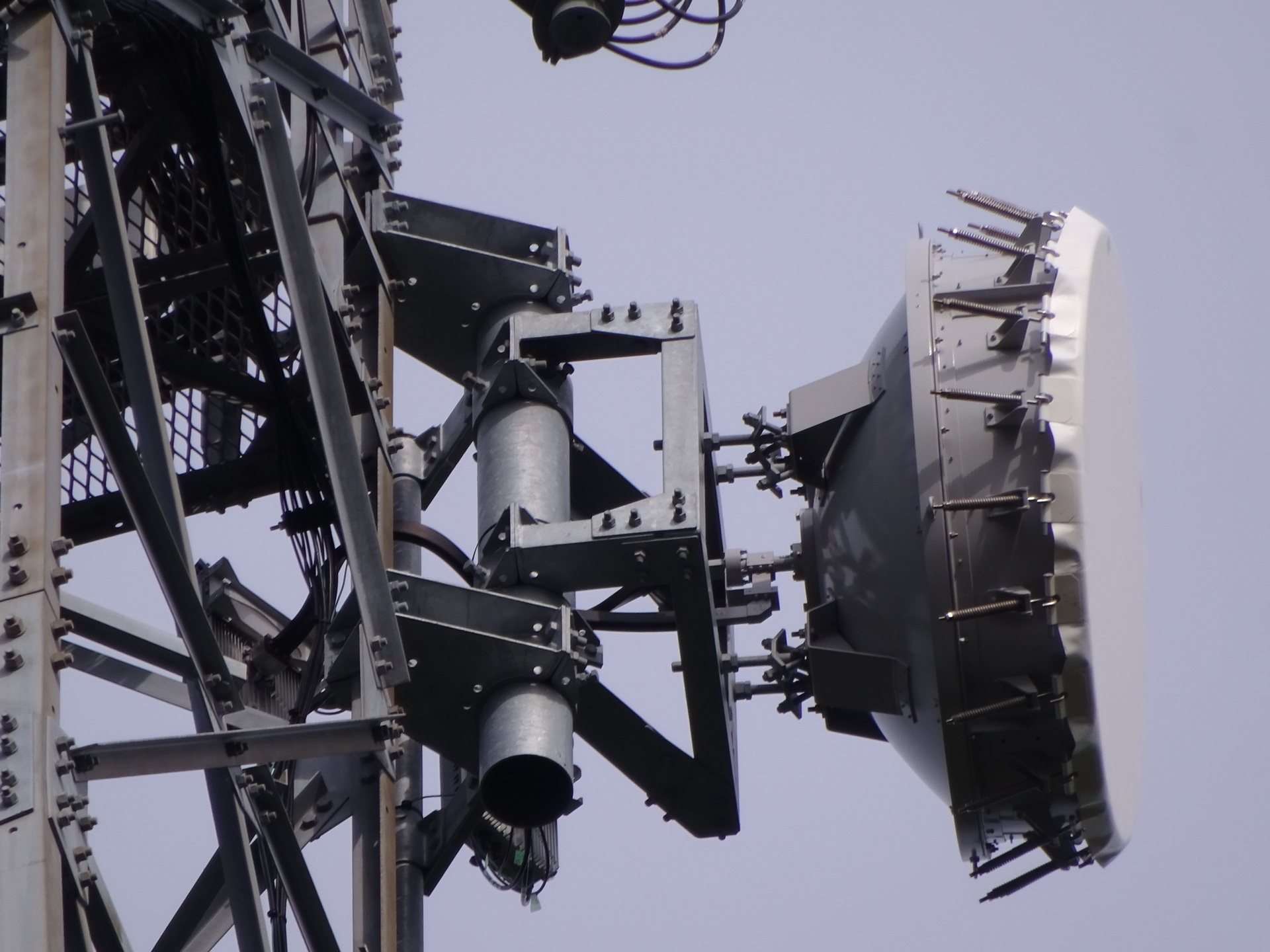
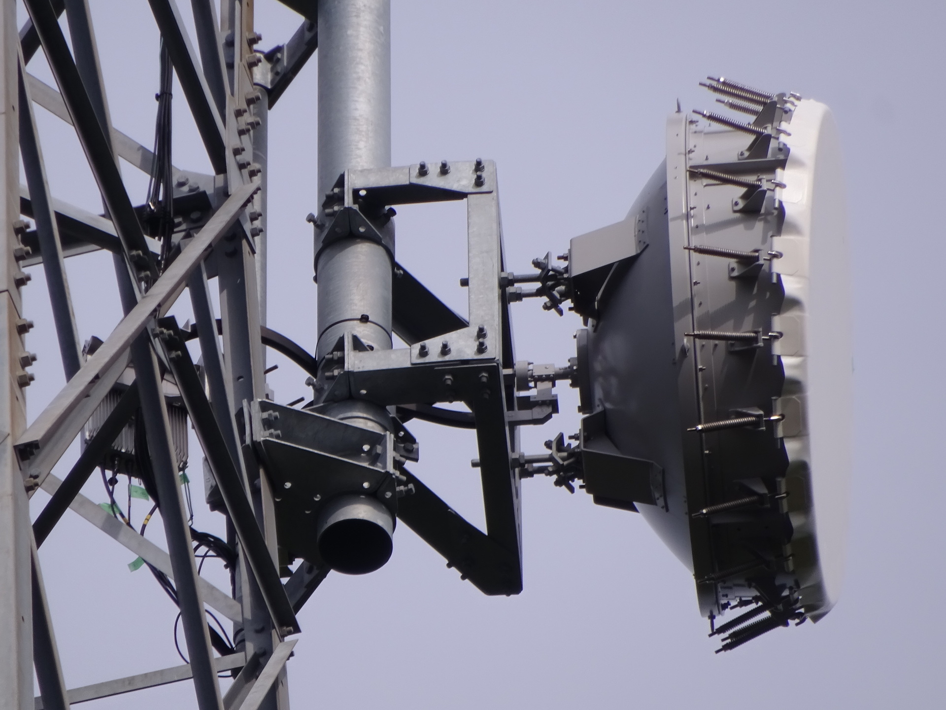
The left-hand antennas, facing south-southwest towards Nagara station, not yet identified at this point. Upper and lower, in that order.
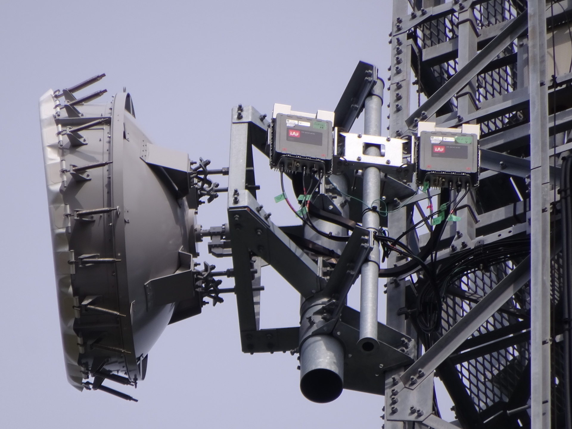
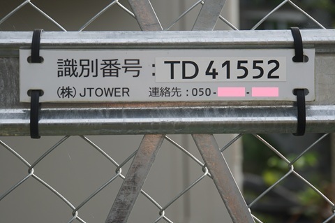
Identification labels
JTOWER’s ID.
Its site name. 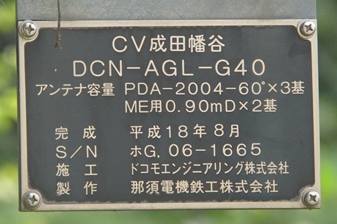
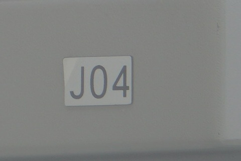
HBC’s label. (Namegata: J05; Ushiku: J05A; Sawajiri: J06; Hokota Minowa: J07A; Ajigaura: J08.)
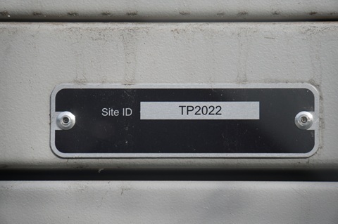
Its Site ID. (Namegata: 2023; Omitama: TP2033; Ushiku: TP2020; Sawajiri: TP2024; Hokota Minowa: TP2031.)
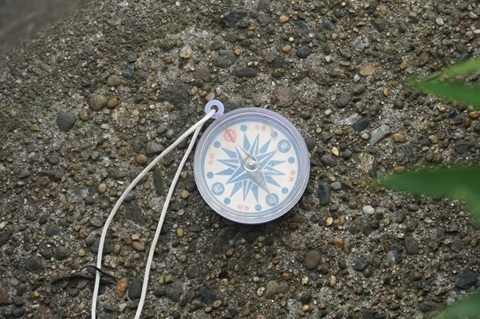
Bearings towards the next hops
Towards Nagara, still unidentified at this point.
South-southwest.
It would be good to narrow it down, but Nagara is a long way away…
Moving on. Withdrawing from Kuzumi at 7:20.
To Nagara station
Back at the station. I made a train one or two departures earlier than planned.
Heading to Mobara.
Taking the conventional route: back to Chiba, then out again.
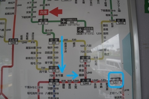
Kuzumi 7:36 → Chiba 8:27 / 8:34 → Mobara 9:11.
Taxi: Mobara Station West Exit → Yamanogo, Nagara.
Kuzumi.
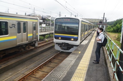
Both trains arriving simultaneously. Yes, it is a single-track line.
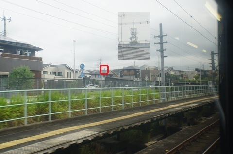
The tower is visible from the train window too.
It is also visible from the southern end of the station platform.
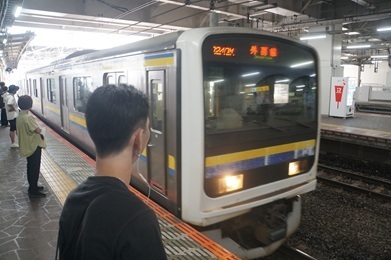
Chiba.
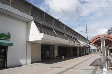
Arrived at Mobara.
Nagara: Jtowér GO
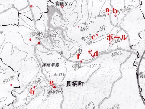
Search order
To be thorough, I will check the eastern high ground too: a through h.
If none of these works, I will need to rethink.
There is over an hour until the bus, so I choose a taxi.
I have it take me to the base of towers a and b. It must be at least 2 km from the bus stop.
Under the Ken-O Expressway, approaching Nagara.
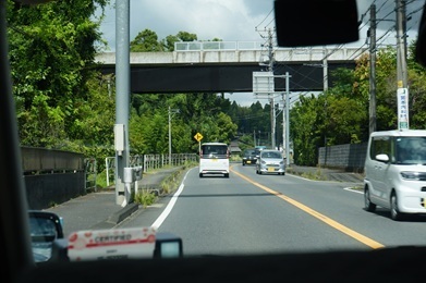
The surroundings in Yamanogo, Nagara.
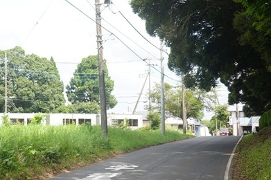
Starting the checks!
Tower b
A miss. 9:39.
Just south of Kurosu Shokai’s Nagara Environmental Centre.
https://www.google.co.jp/maps/place/@35.4722097,140.2364931,52m/data=!3m1!1e3
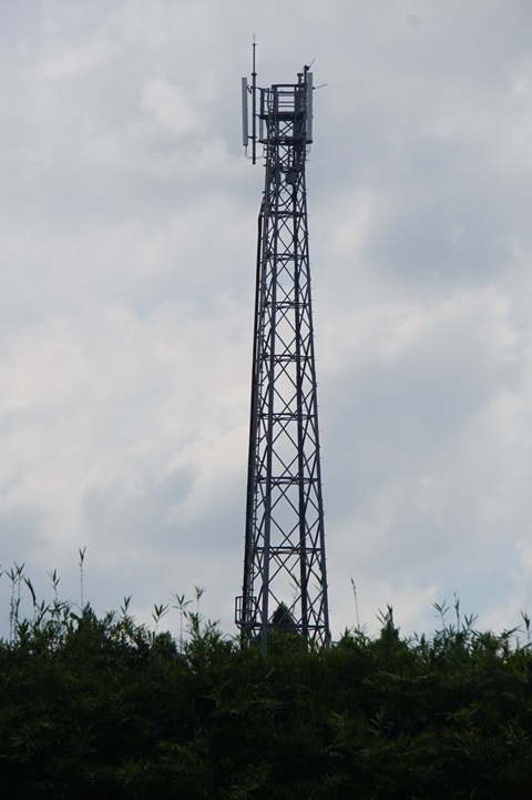
Tower a
A miss. 9:40.
Behind Jujo Gosei.
https://www.google.co.jp/maps/place/@35.4723396,140.2327624,52m/data=!3m1!1e3
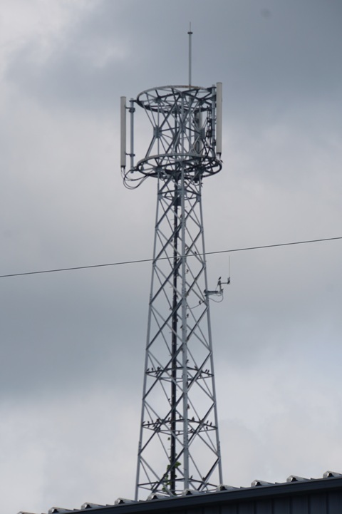
Tower c
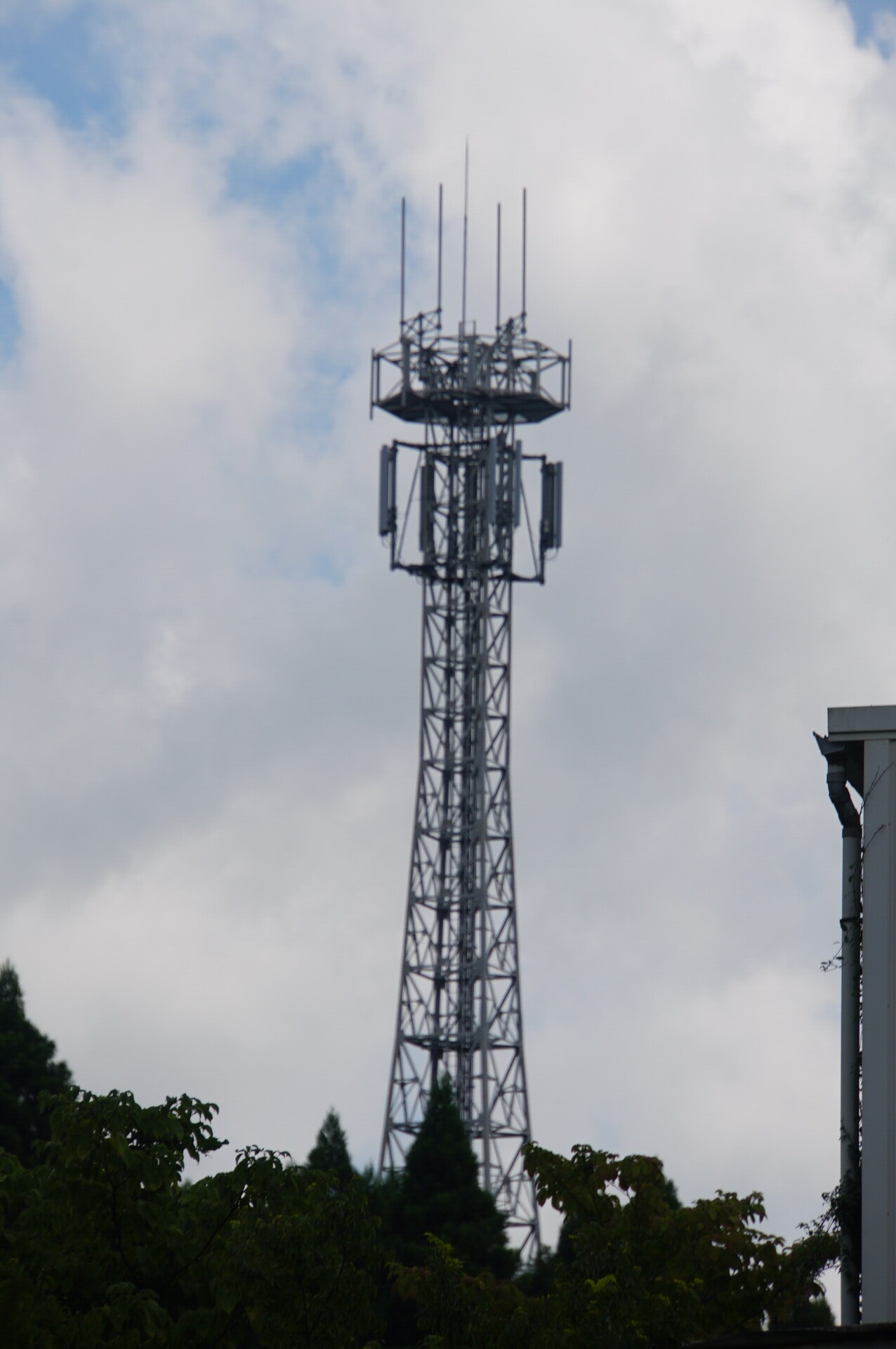
Is this MCA’s Kazusa station? 10:01.
https://www.google.co.jp/maps/place/@35.4633135,140.2258233,52m/data=!3m1!1e3
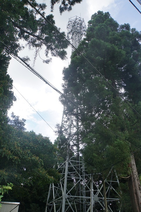
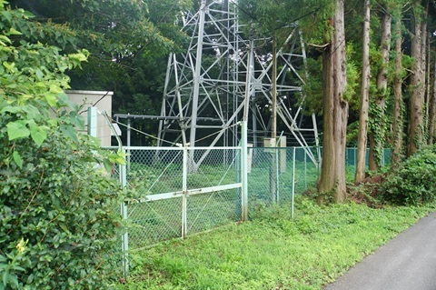
From farther downhill. This should be easier to see. Click to enlarge.
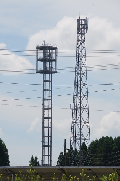
Towers d and e
A miss. 10:19.
The one with the circular platforms is d. It is farther away to the east.
https://www.google.co.jp/maps/@35.4552696,140.2253106,52m/data=!3m1!1e3
https://www.google.co.jp/maps/@35.4558795,140.2248639,52m/data=!3m1!1e3
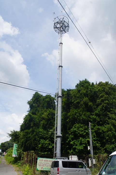
Tower f
This is a pole, so expectations were low from the start. 10:31.
Just west of Meiji Golf Centre.
https://www.google.co.jp/maps/@35.4528824,140.2187455,52m/data=!3m1!1e3
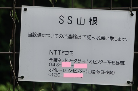
Its name is SS Yamane.
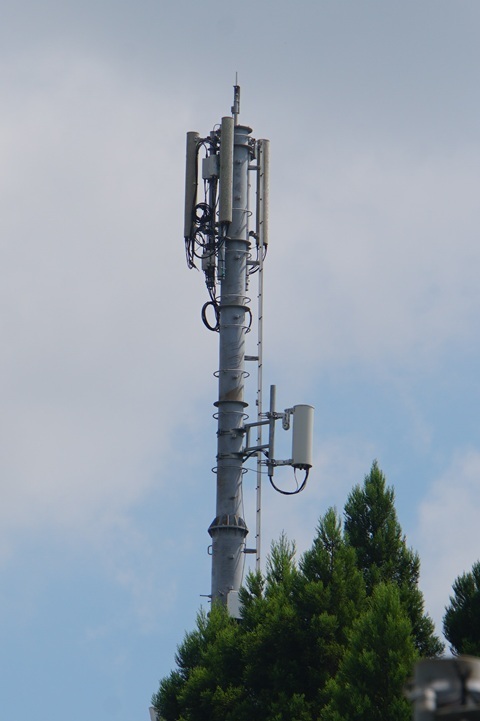
A tower not spotted beforehand
North of the warehouses, on the opposite side of Prefectural Route 14. 10:36.
https://www.google.co.jp/maps/@35.4535526,140.216072,52m/data=!3m1!1e3
Tower g
One of the leading candidates.
But there is a hill to its north, so this will not work. 11:00.
East of Taiyo Construction’s Nagara Asphalt Plant.
https://www.google.co.jp/maps/@35.4428789,140.2043296,52m/data=!3m1!1e3
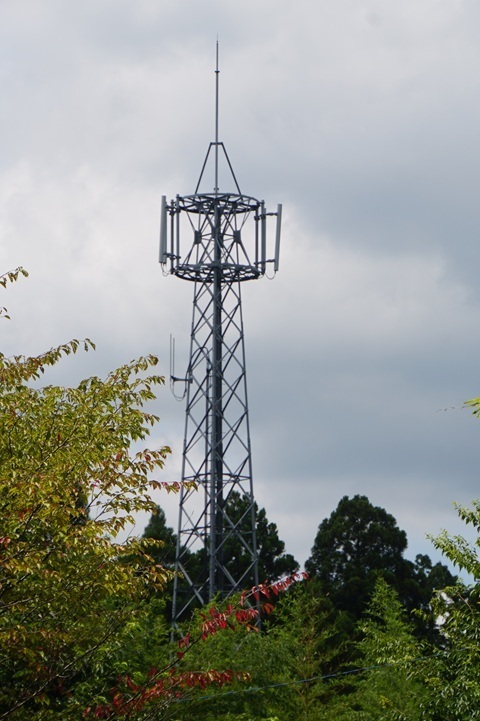
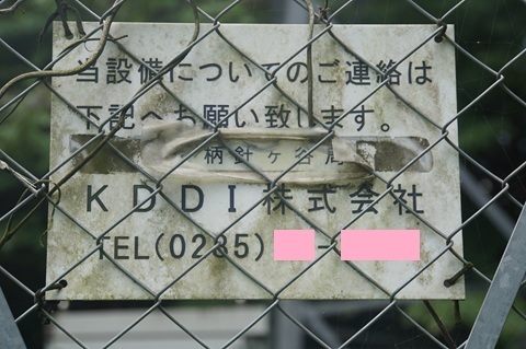
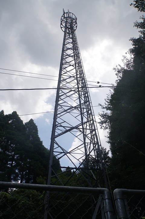
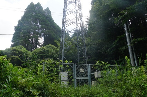
Tower h
Apparently this is the Osakabe–Harigaya Forest Road. Heading in. 11:07.
The place name is pronounced Osakabe.
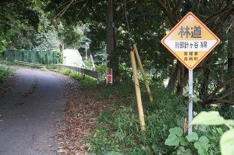
This is it! 11:22.
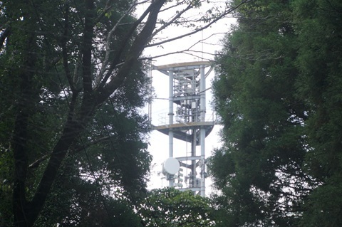
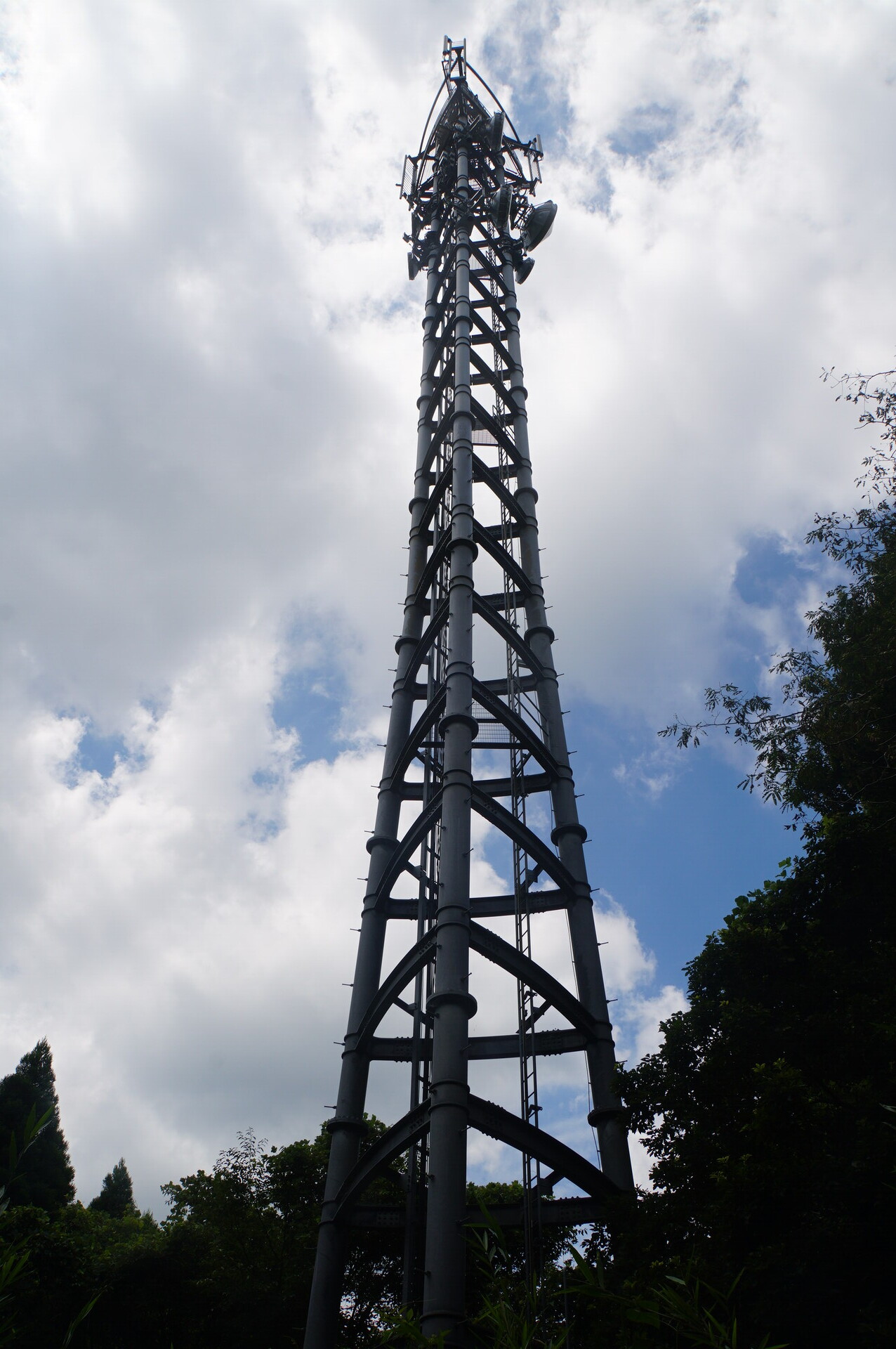
Nagara station (provisional name): the whole picture
Enjoy.
Tower h was the relay I was looking for.
The tower
Arrived at 11:23.
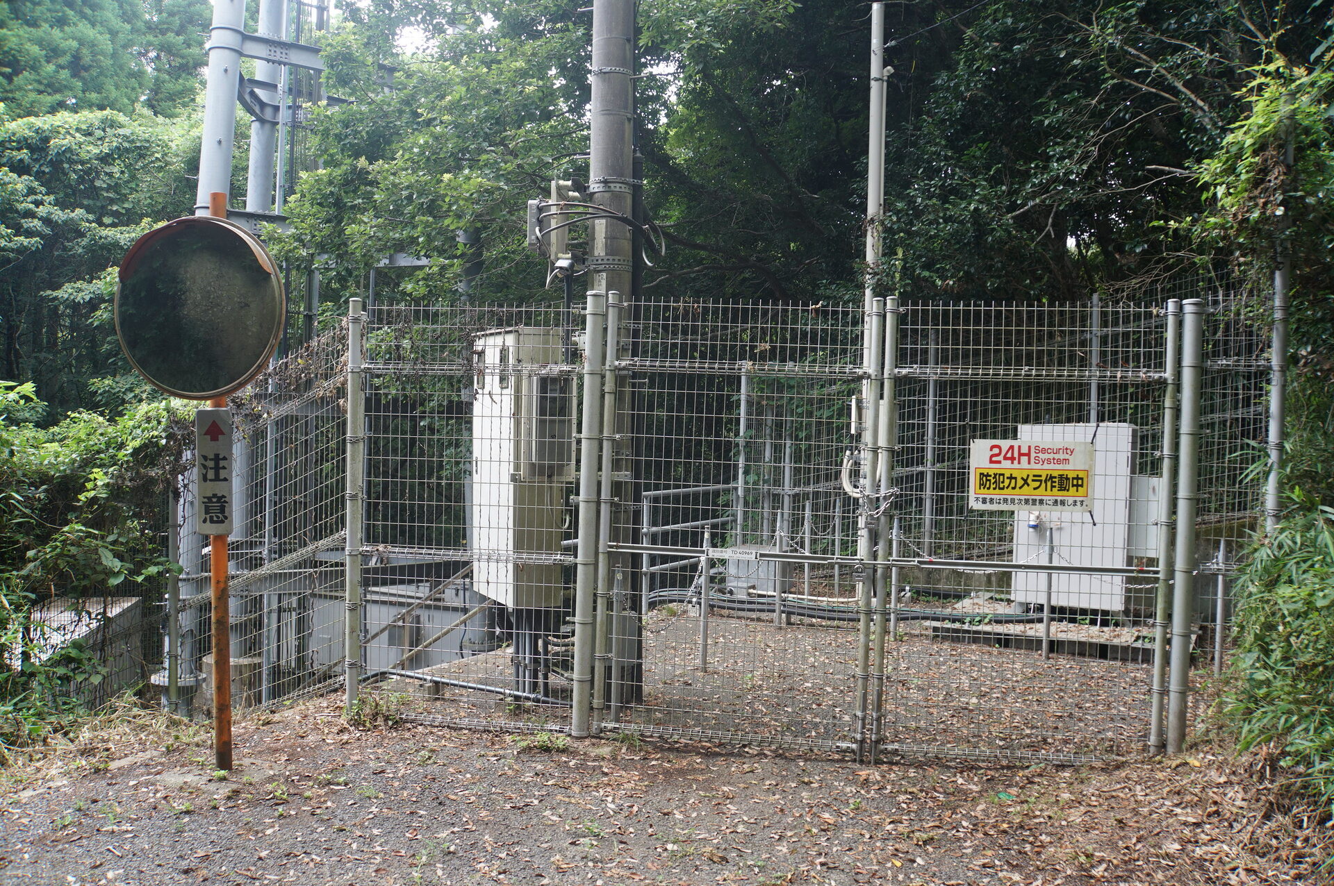
The power lines and other services along the forest road also end here, feeding into the site.
The location
There are steps between the entrance and the base of the tower.
Beyond that entrance is the familiar rack.
Dishes
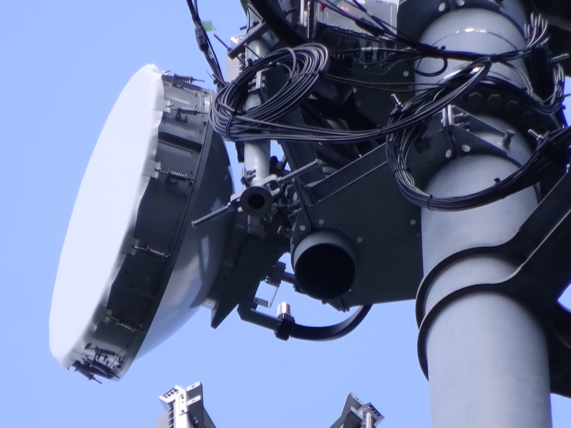
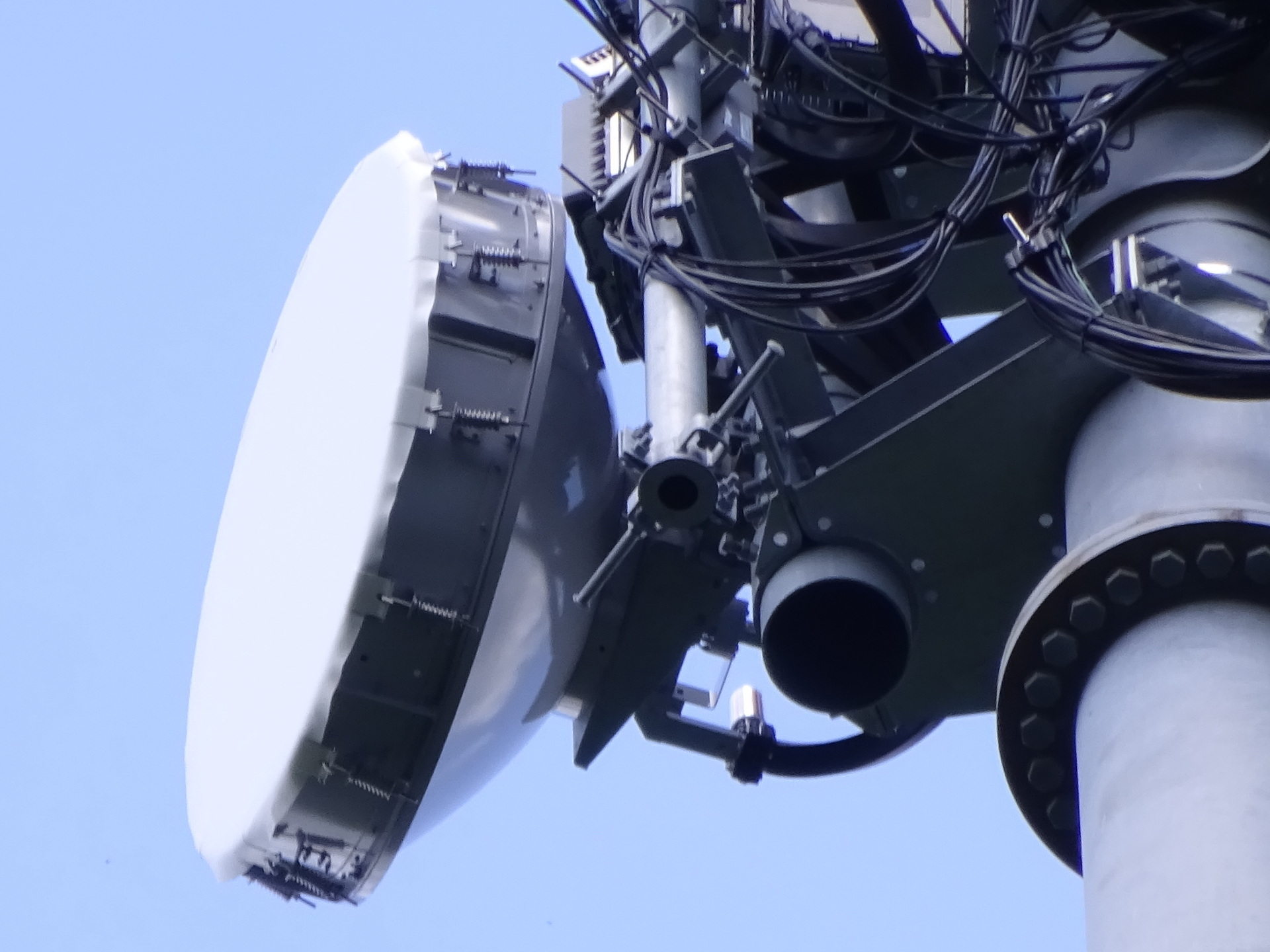
The essential part.
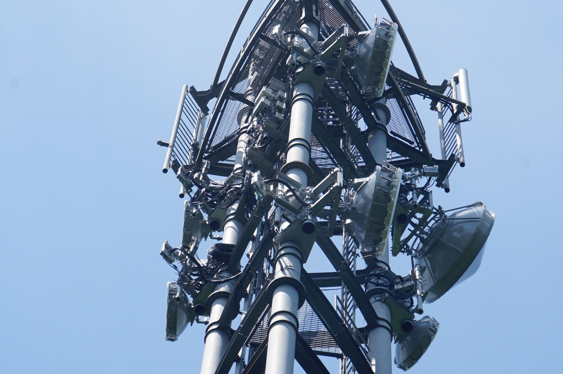
Towards Narita. Close-ups are in upper/lower order.
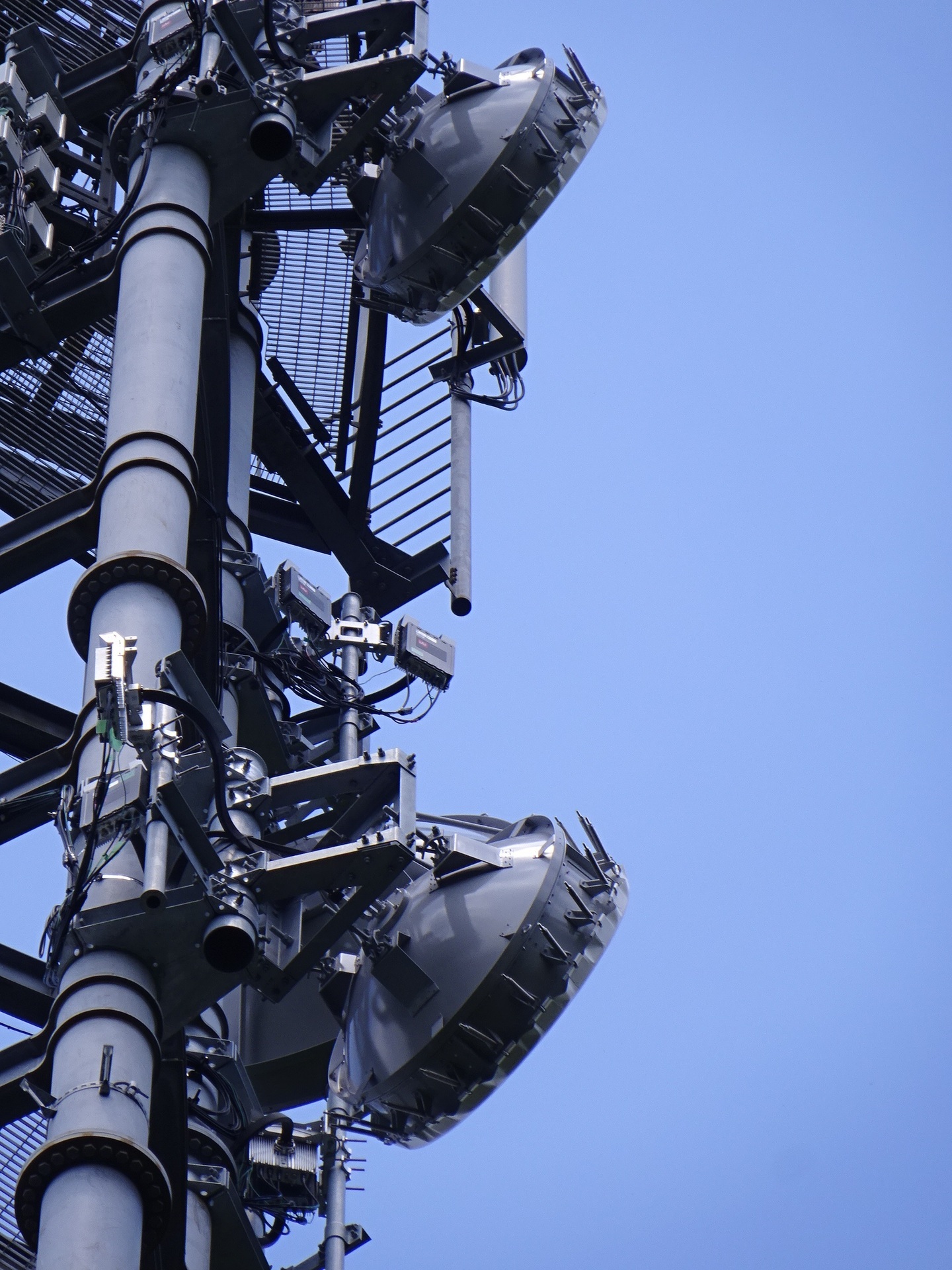
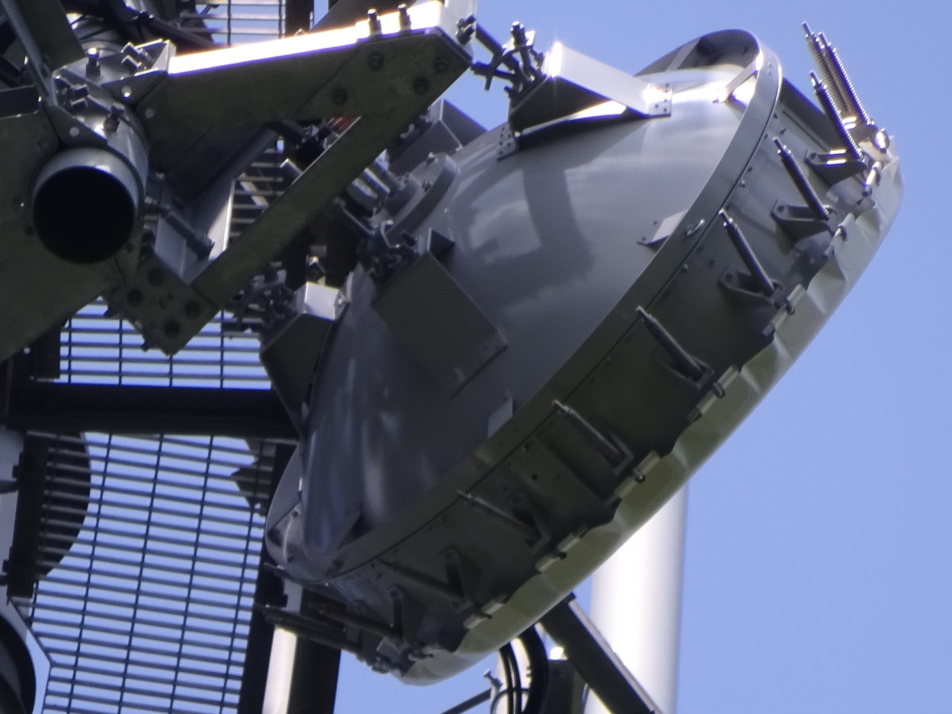
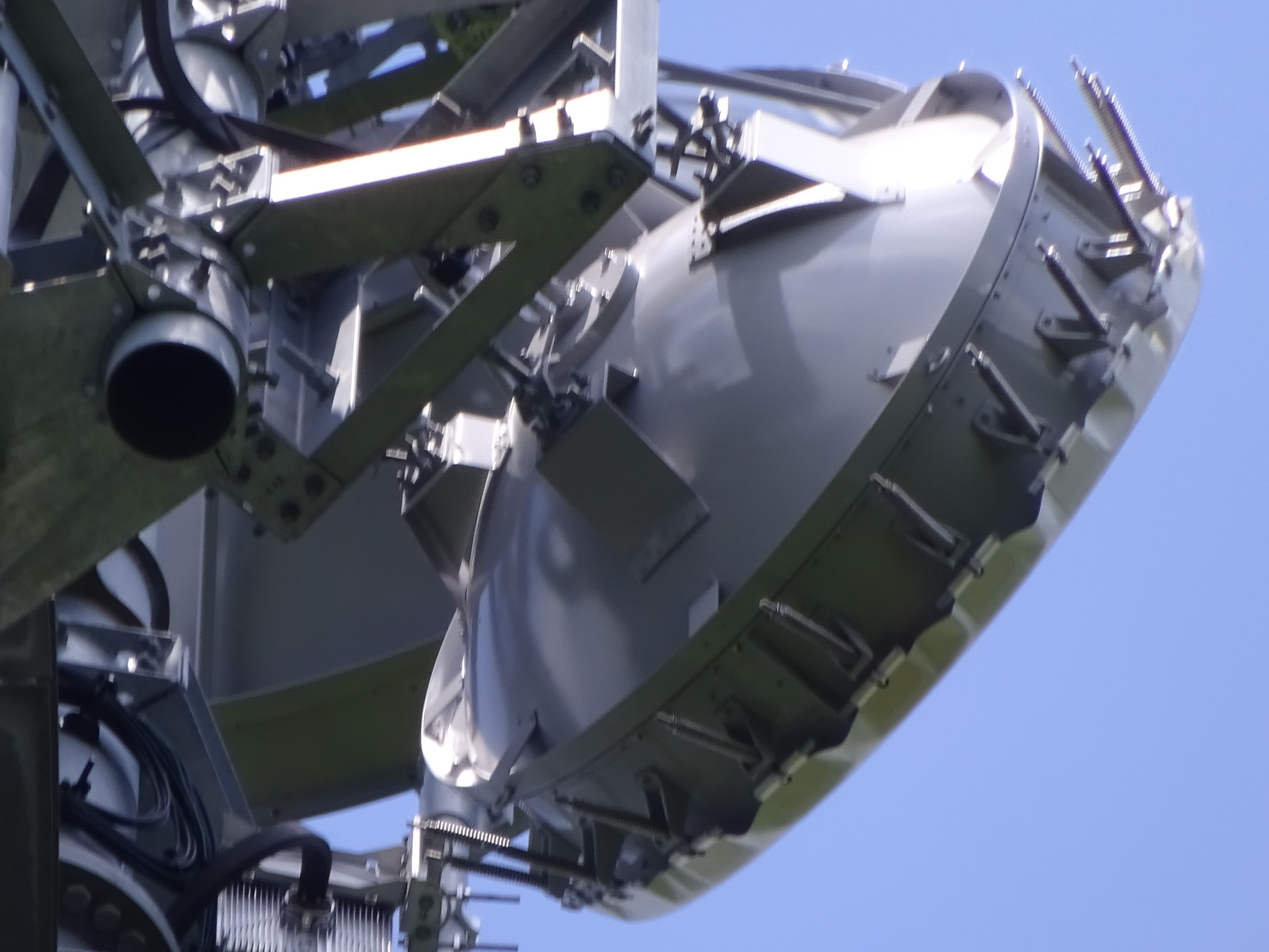
Towards Inzai. Close-ups are in upper/lower order.
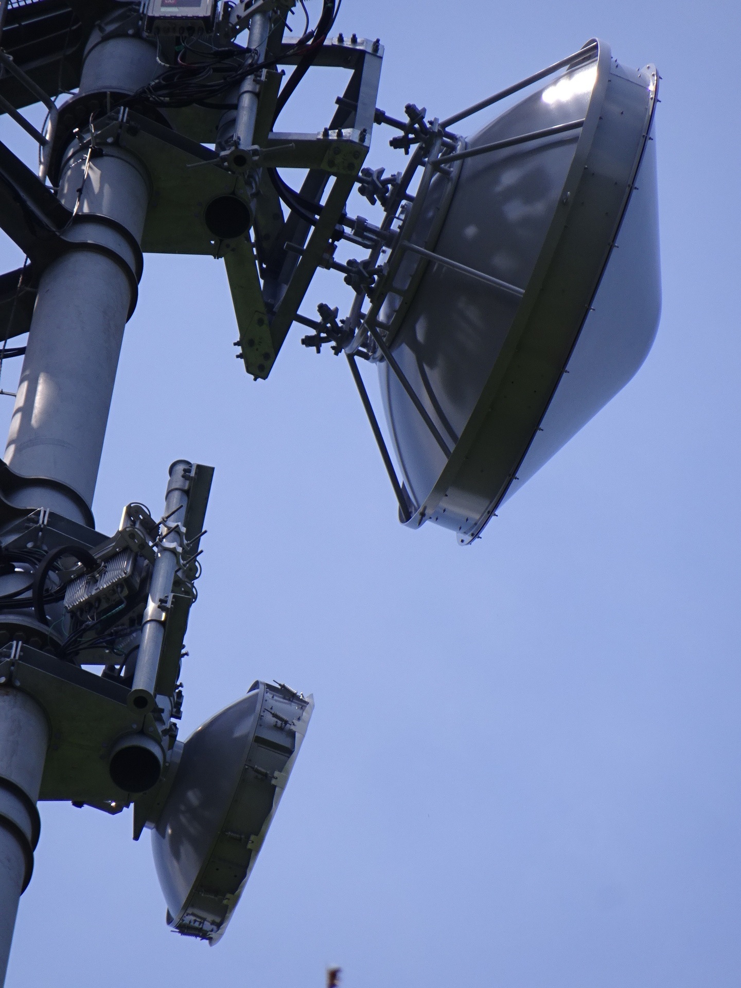
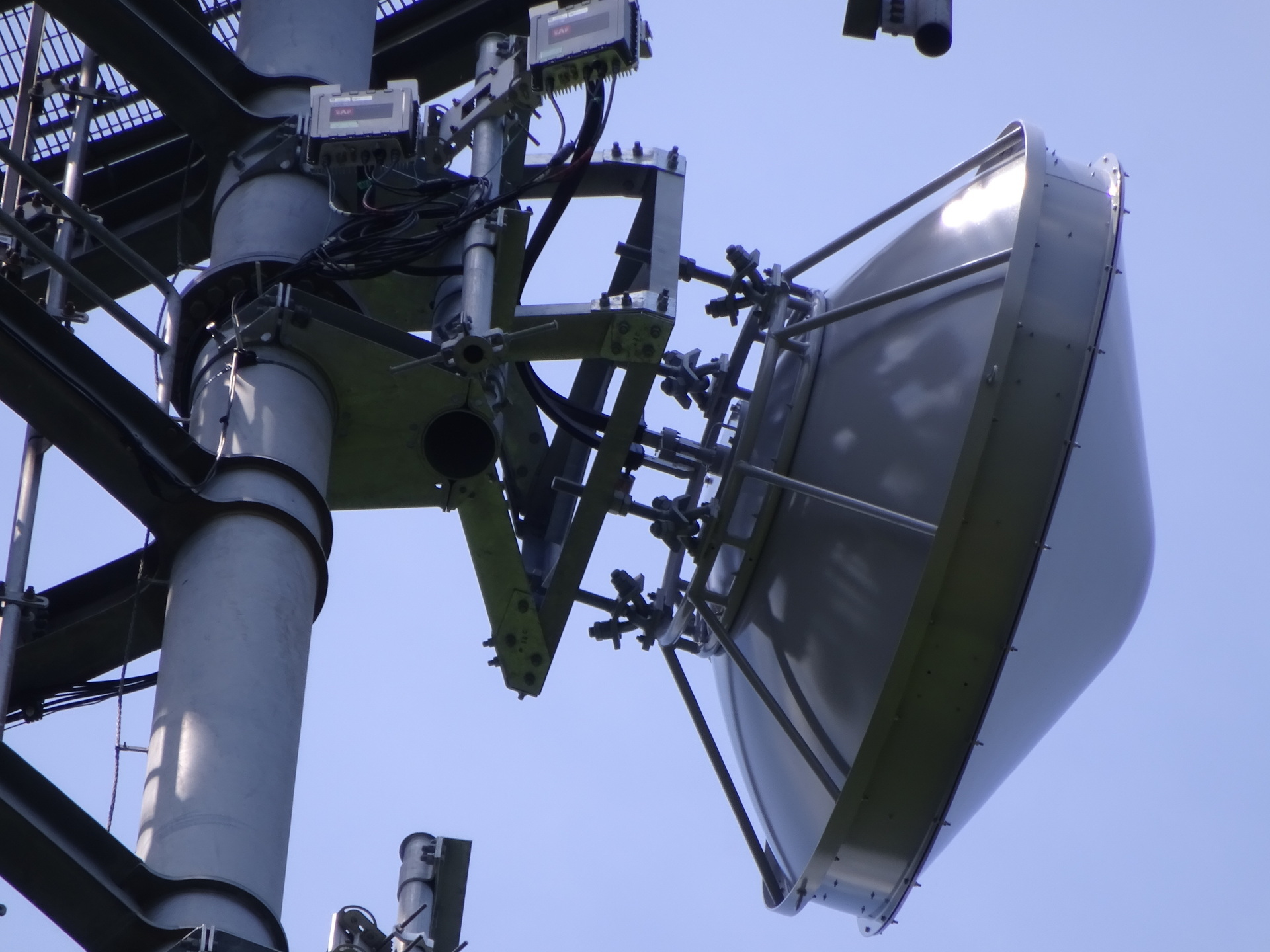
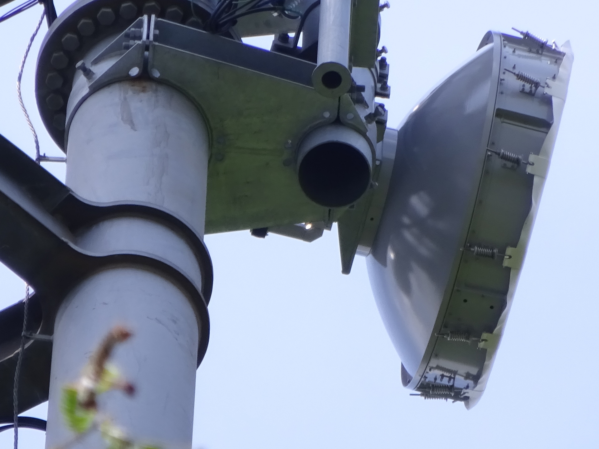
Towards Kamogawa, not yet identified. Close-ups are in upper/lower order.
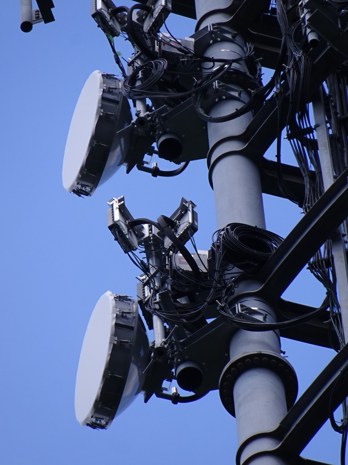
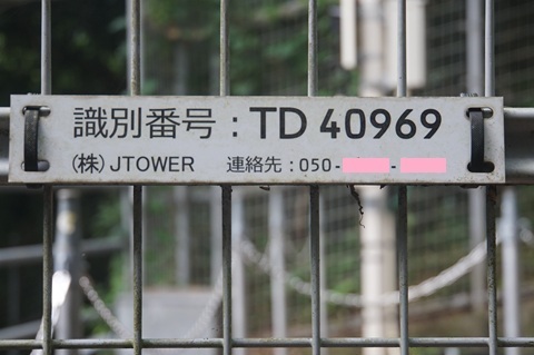
Identification labels
JTOWER’s ID.
Its site name.
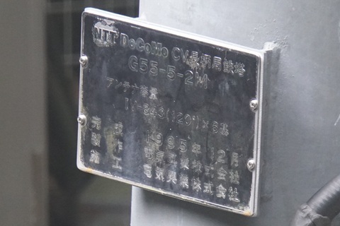
HBC’s label. (Narita: J04; Omitama: J06A; Ushiku: J05A; Sawajiri: J06; Hokota Minowa: J07A; Ajigaura: J08.)
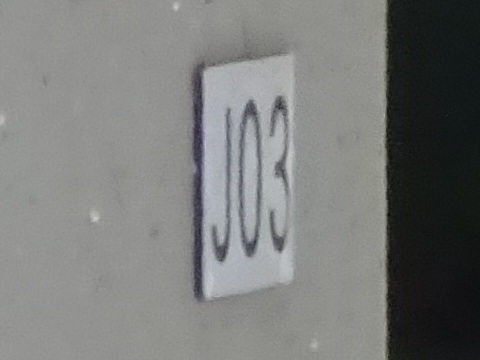
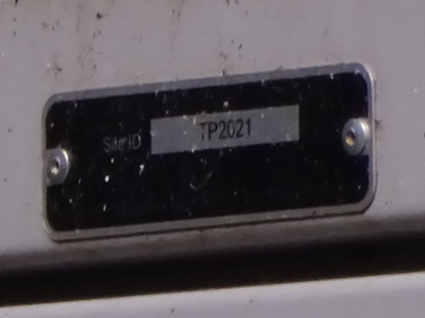
Its Site ID. (Narita: TP2022; Omitama: TP2033; Ushiku: TP2020; Sawajiri: TP2024; Hokota Minowa: TP2031.)
Bearing measurement
Towards Kamogawa… there is a cliff. orz
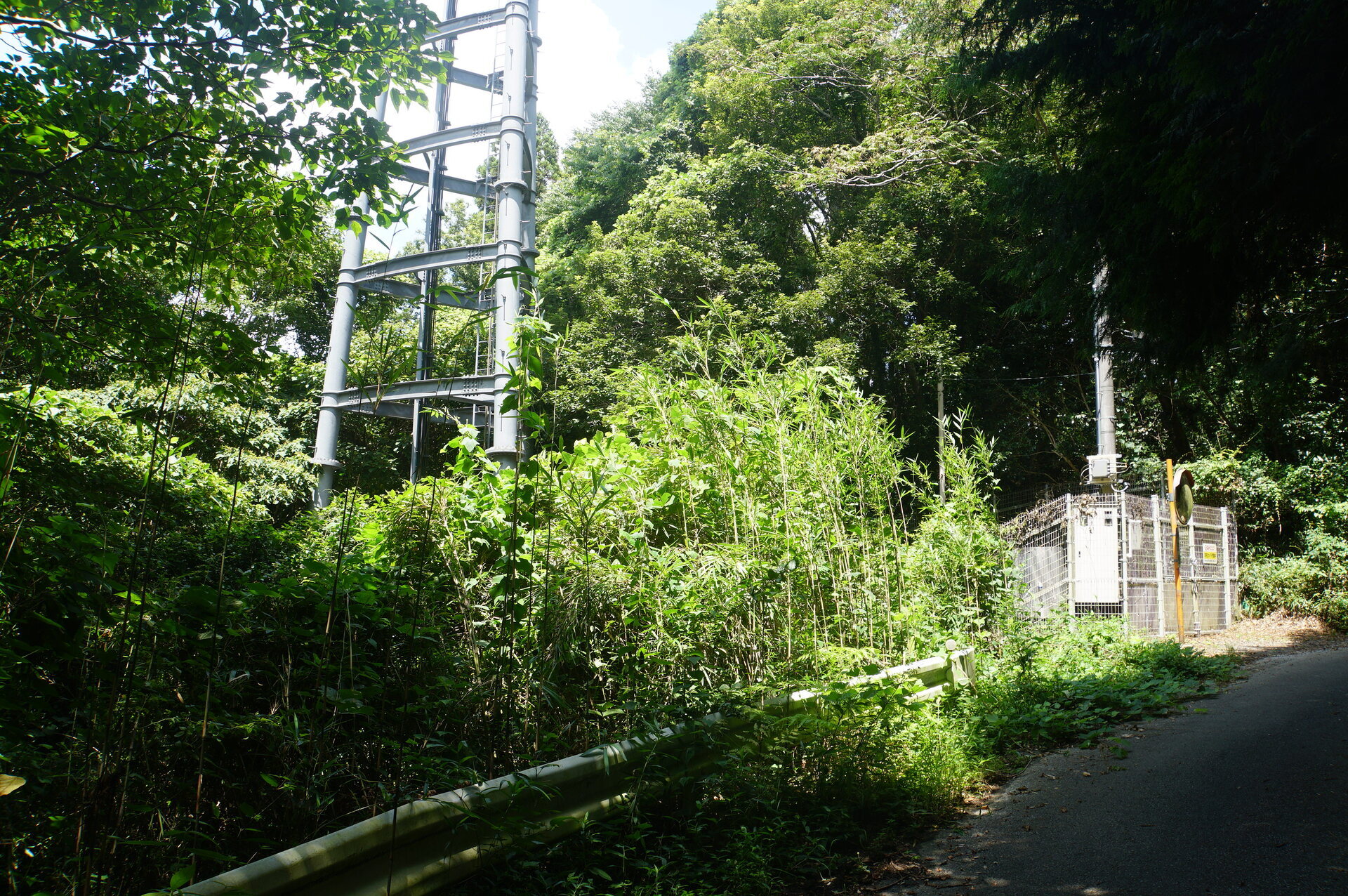
So I will try estimating from the side.
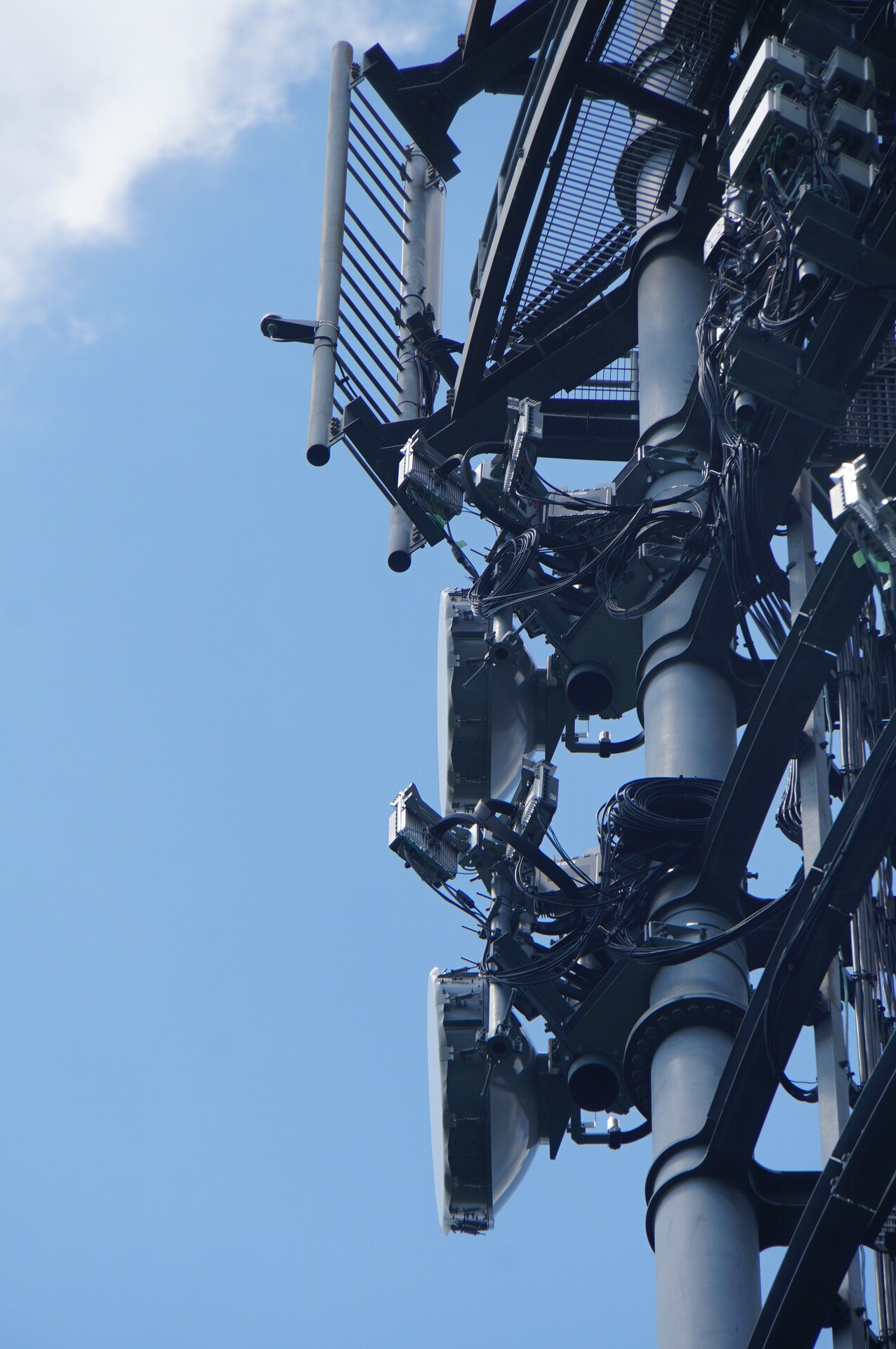
Southwest by south, perhaps.
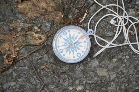
Homeward, triumphant
Time to go home. Departing at 12:20.
There is a bus in the 13:00 hour, so I head back towards Mobara.
Miss it and the next is in the 16:00 hour.
Another possibility is to head west for a station on the Kominato Railway.
Taiyo Construction, just out of the forest road.
Back at tower g.
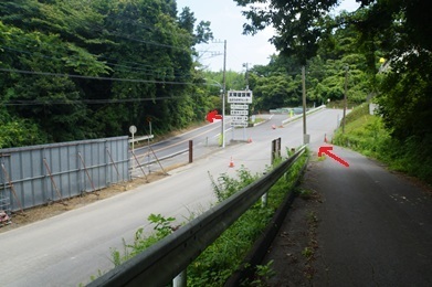
Continuing along the road in the back left of the photograph. 12:05. [Translator’s note: this time precedes the 12:20 departure stated above; both are retained as written.]
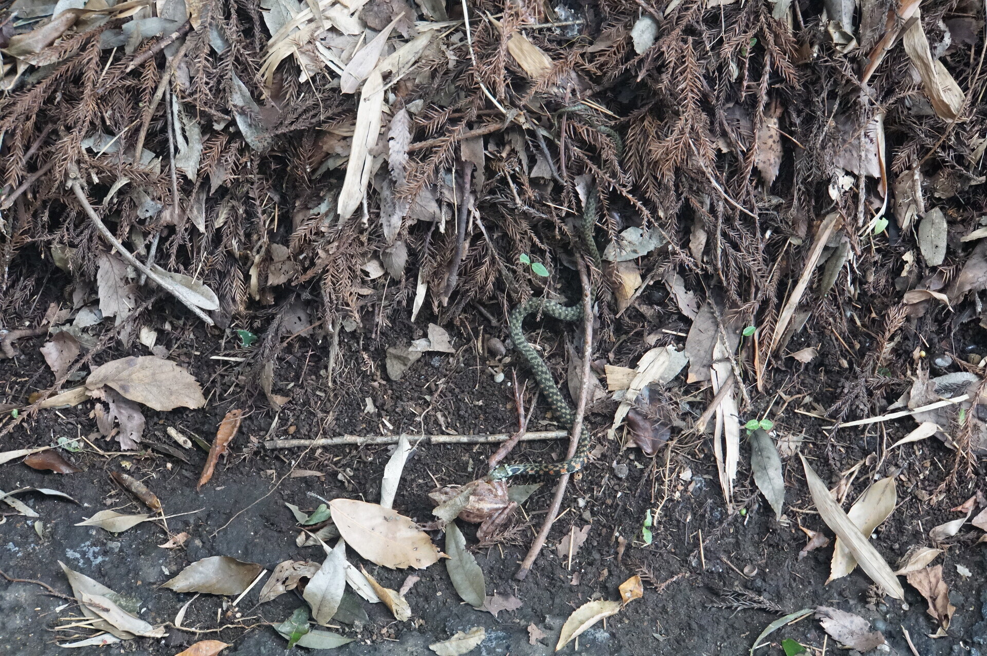
Frog versus snake.
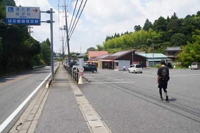
A break and a wait for the bus at Michi-no-Eki Nagara roadside station. 12:30.
In the end, the station was at the star.
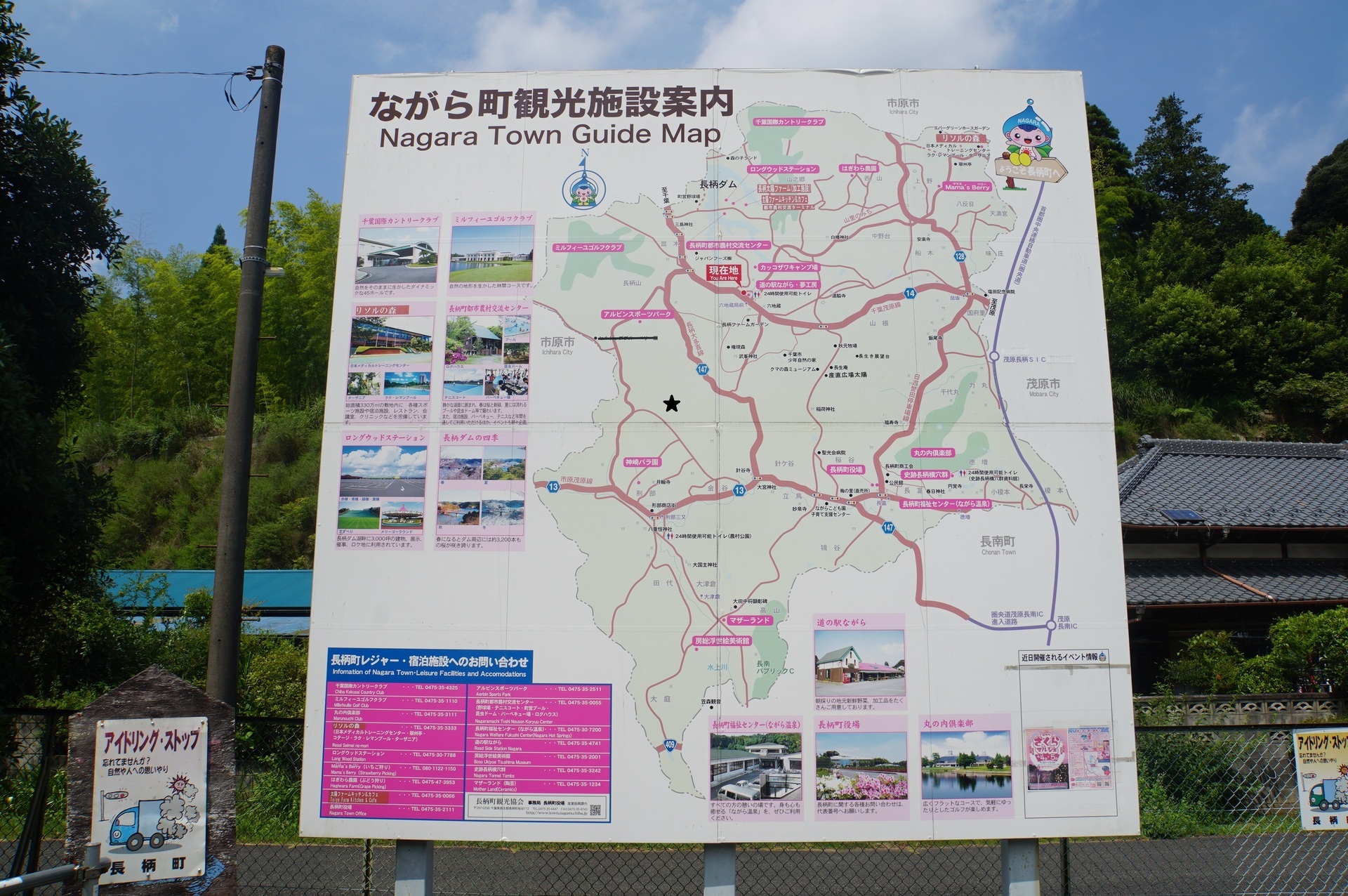
A tower just east of Michi-no-Eki Nagara.
https://www.google.co.jp/maps/place/@35.4577856,140.2101844,52m/data=!3m1!1e3
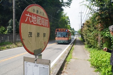
Rokujizo Kyokumae 13:10 → Mobara Station South Exit 13:38.
Mobara 13:47 → Tokyo 15:01 / 15:14 → Tamachi 15:22.
Rokujizo Kyokumae.
Mobara. Lucky: a train straight to Tokyo.
Tokyo.
Expenses
¥1,408 — JR, Tamachi → Kuzumi
¥1,221 — JR, Kuzumi → Mobara
¥4,200 — taxi, Mobara Station → Yamanogo, Nagara
¥580 — Kominato Railway bus, Rokujizo Kyokumae → Mobara Station South Exit
¥1,408 — JR, Mobara → Tamachi
――――――――――――――
¥8,817 — total
Summary
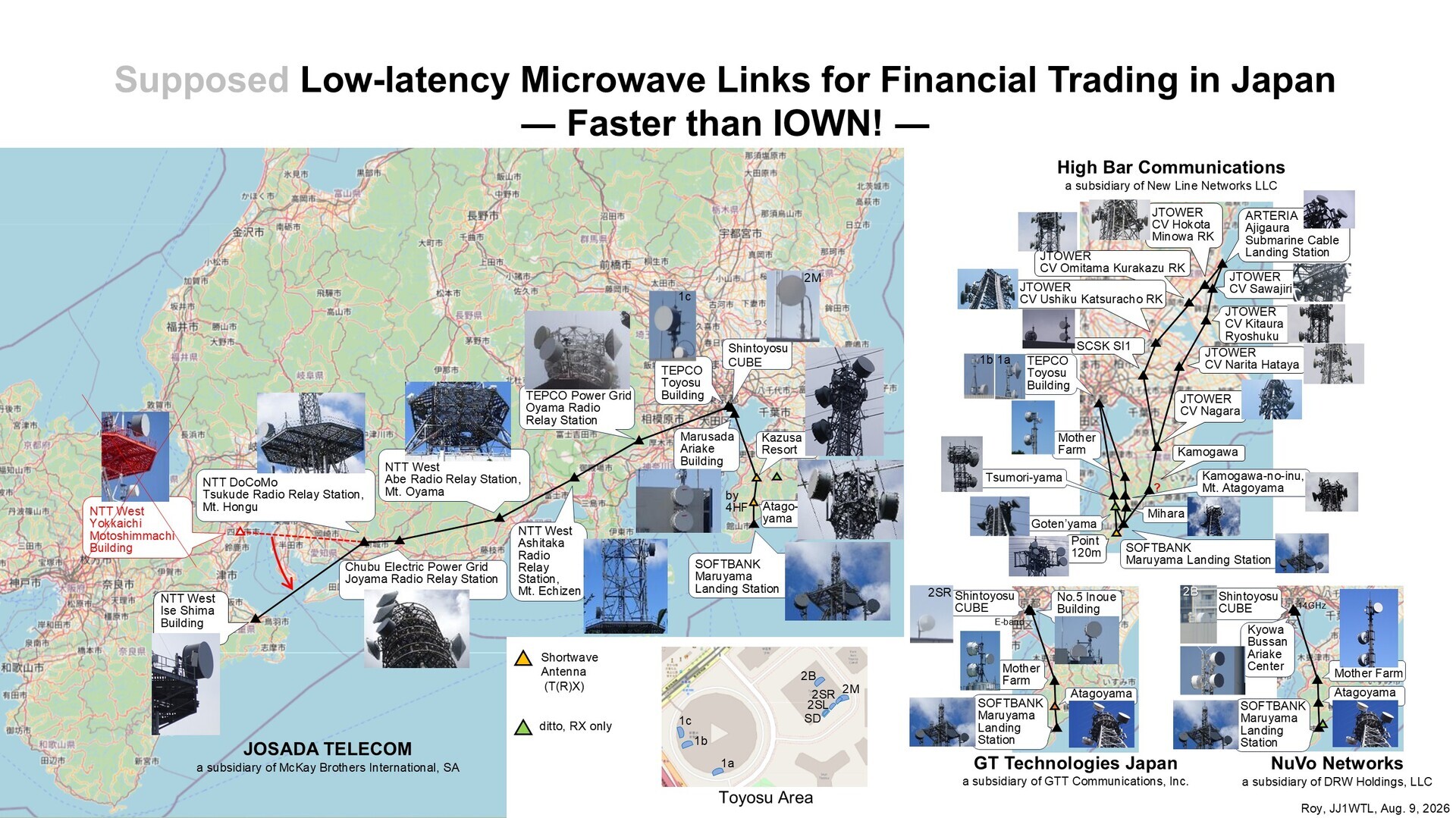
Results to date.
Narita and Nagara stations identified:
Narita station
CV Narita Hataya.
Hataya, Narita. About 860 m northeast of Kuzumi Station.
https://www.google.com/maps/place/@35.8386853,140.3437484,52m/data=!3m1!1e3
Nagara station
CV Nagara.
Nagarayama, Nagara. About 200 m north of Mihariyama Kofun.
https://www.google.co.jp/maps/place/@35.4423885,140.1946426,52m/data=!3m1!1e3
The overall picture. Click to enlarge.
Earlier articles:
‘Microwave routes (Ajigaura and Inzai)’
https://jj1wtl.seesaa.net/article/521035620.html (English translation)
‘Microwave routes (Hokota)’
https://jj1wtl.seesaa.net/article/521116477.html (English translation)
‘Microwave routes (Ushiku)’
https://jj1wtl.seesaa.net/article/521173162.html (English translation)
‘Microwave routes (Omitama and Namegata)’
https://jj1wtl.seesaa.net/article/521245350.html (English translation)
Just one station left: