Microwave routes — Chikura
Original: Ryota / JJ1WTL — 500213645 · Original Japanese HTML
Published: 2023-07-31
English translation of the archived article text. The author’s first-person observations, uncertainty and later additions are preserved; this is not the research summary. Image contents are preserved as images, not silently incorporated into the translated prose.
Exploring the microwave routes from the Chikura cable landing stations to central Tokyo: this time, the starting point at Chikura and one unidentified station. The final Boso Peninsula chapter, scented with sea air and ripening rice. Sunday, July 30.
Summary
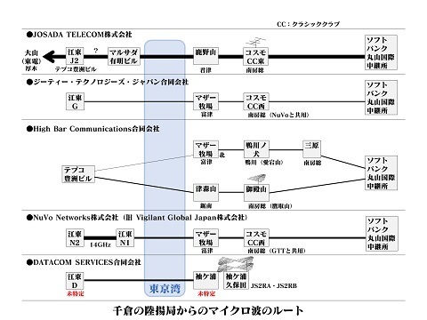
The result: I managed to trace High Bar Communications (HBC). Only the Koto Ward end is still a little doubtful. Two routes with an unusual space-diversity arrangement—one dish at the Koto Ward end and two on the Boso Peninsula side? Only this diagram can be clicked to enlarge.

Summary of the four operators, plus DATACOM in Sodegaura. The Koto Ward side is still uncertain.
Outward journey
Setting off for the final showdown. Tamachi 4:52 → Tokyo 5:01 / 5:21 → Kisarazu 6:40 / 6:47 → Chitose 8:16. According to the timetable, the Yamanote and Keihin-Tohoku trains leave simultaneously. The second train of the day, immediately after the first.
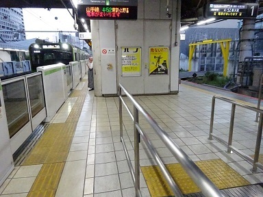
Changing at Tokyo Station. One section of the display panel is dead.
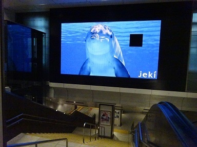
At Tokyo, just arriving from the Shin-Nihombashi side.
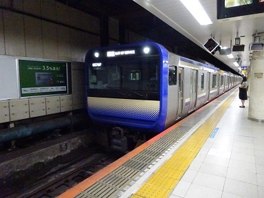
Changing at Kisarazu; the next station, Kimitsu, would also do.
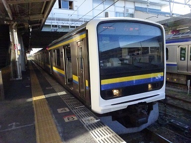
Arrived at Chitose Station. A tropical feel. ¥2,640. Walking from here. First, to SoftBank's Maruyama International Relay Station.
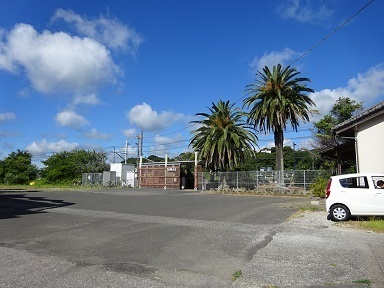
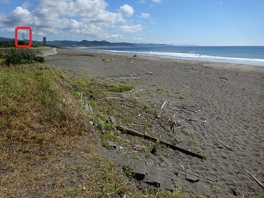
A little scenery characteristic of Chikura. The red box at the far left marks the tower.
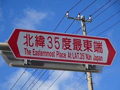
Crossing from grid square PM94 into PM95. I turned around to photograph it with the light behind me.
Nearly there.
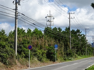
The Chikura station buildings
SoftBank is at the back left; the building at the front right carries the names of both SoftBank and NTT Com.
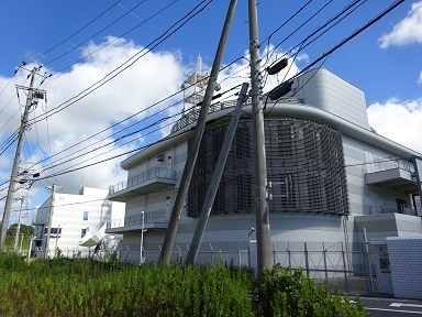
The panel outside the entrance at the back left, on the north side.
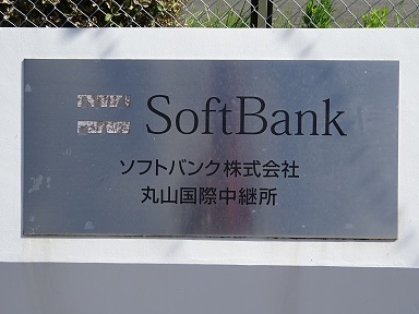
The panel outside the entrance at the front right, on the south side.
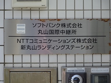
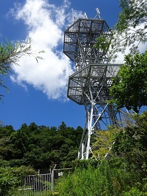
Now at the front of the tower, on its north side. https://www.google.com/maps/@35.0057708,139.975367,53m/data=!3m1!1e3
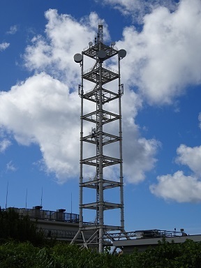
This is probably how it fits together.
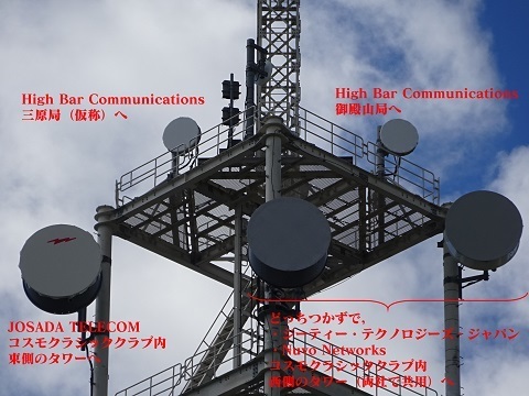
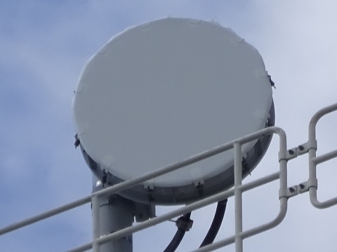
Left, or east, on the top platform: towards HBC's Mihara station—a provisional name, and the target of this trip. https://www.google.com/maps/@35.0614505,139.9881498,53m/data=!3m1!1e3
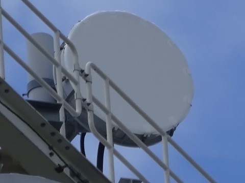
Right, or west, on the top platform: towards HBC's Gotenyama station. https://www.google.com/maps/@35.081922,139.9447489,53m/data=!3m1!1e3
Below that, on the left/east: the RFcells logo lets us identify this as JOSADA TELECOM. It points towards the eastern tower inside Cosmo Classic Club, the one carrying the HF antenna. https://www.google.com/maps/@35.1114844,139.9555809,53m/data=!3m1!1e3
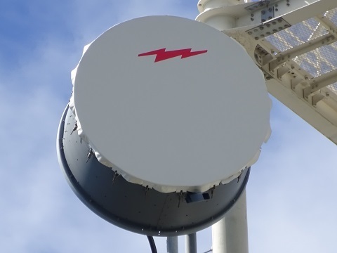
One of the following two belongs to GTT, GT Technologies Japan, and the other to NuVo. Their counterpart is the western tower inside Cosmo Classic Club, shared by the two companies. https://www.google.com/maps/@35.1102773,139.9484055,53m/data=!3m1!1e3
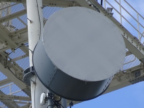
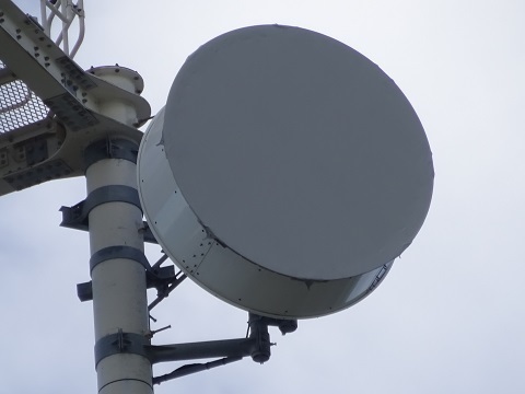
Halfway up the tower. Is this fronthaul for a mobile-phone base station?
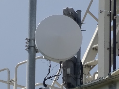
Now to look into the distance for the counterparts. I could not locate the three stations on two towers at Cosmo Classic Club. But I can see the two HBC, High Bar Communications, stations, marked in red.
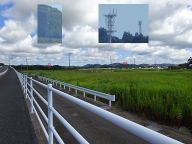
Left: Gotenyama station, visited previously, although it is actually more on Mount Takatori. https://www.google.com/maps/@35.0819256,139.9447596,53m/data=!3m1!1e3 Right: the suspected location I am heading to next, subsequently given the provisional name Mihara station. It is on the next hill behind, to the north of the hill in the foreground. What made me suspect this location was:
- Its proximity to an NTT building marked as a radio tower on GSI Maps.
- The satellite imagery in Google Maps.
The straight-line distance is 6.3 km: 6,275.986 m. https://www.google.com/maps/@35.0614508,139.9881633,53m/data=!3m1!1e3
On the way…
After a rest at Minamihara Station, finally heading for the suspected site. Oh, another company.
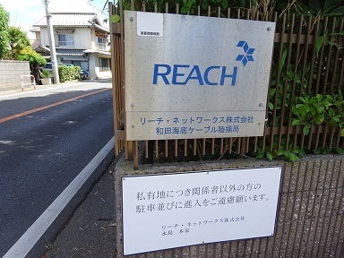
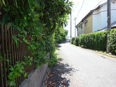
The station building is at the end of this private road. https://www.google.com/maps/@35.0201573,139.9810852,106m/data=!3m1!1e3
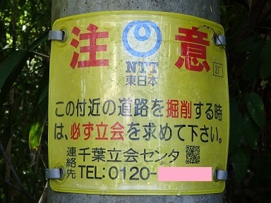
The sign says not to dig without permission.
Walking in the blazing sun. I did not get heatstroke; six days had passed since climbing Mount Fuji. I can see it. That is where I am going.
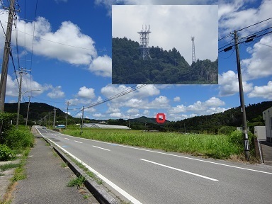
The Mihara station
There it is. In other words, I have walked the length of one microwave hop. Two dishes! Good, good: it is not merely a mobile-phone base station.
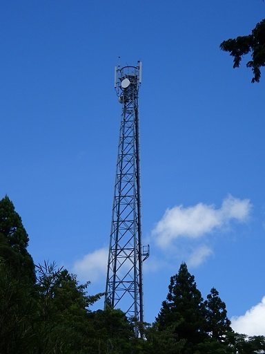
Arrived at 11:41. https://www.google.com/maps/@35.0614496,139.9881672,53m/data=!3m1!1e3 The top. A mobile-phone base station is piggybacking on it.
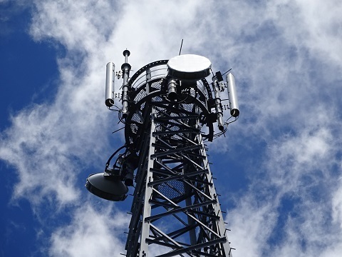
North-facing: towards Kamogawa-no-Inu station on Mount Atago. https://www.google.com/maps/@35.1154291,139.9793669,53m/data=!3m1!1e3
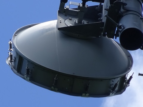
South-facing: towards Chikura, SoftBank's Maruyama International Relay Station. https://www.google.com/maps/@35.0057708,139.975367,53m/data=!3m1!1e3
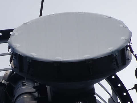
The base has something of a Laputa feel. To the maintenance staff: I recommend bringing a sickle for the weeds.
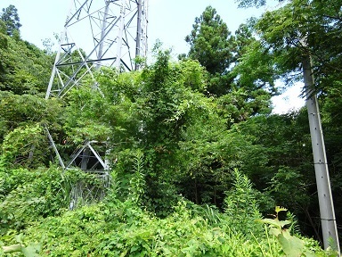
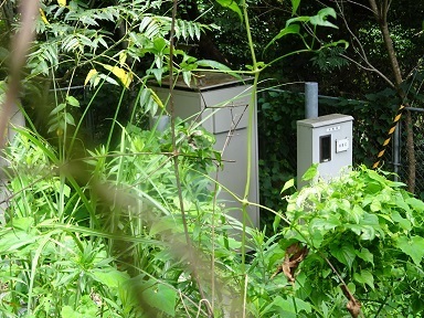
Somehow, I can just make out the equipment…
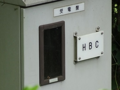
The letters ‘HBC’! Bingo!! The station's name, however, is unknown. The NTT station in the next section is called Mihara, so I will provisionally call this HBC station Mihara as well.
NTT’s Mihara station
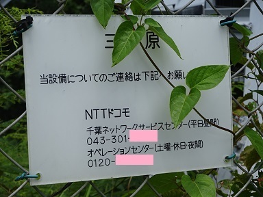
The nearby NTT tower. It has a radio-tower symbol on GSI Maps. https://maps.gsi.go.jp/#15/35.060961/139.987982/&base=std&ls=std&disp=1&vs=c1g1j0h0k0l0u0t0z0r0s0m0f1 Before optical fibre, did it form part of a route to central Tokyo via Chikura → here → Kanozan → …? Now it seems to function only as a mobile-phone base station.
Perhaps that explains why it comes under Docomo. The station name is Mihara.
Return journey
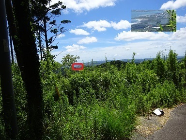
Started descending at 12:09. From a clearing along the way, a distant view of the Chikura station. That is where I walked from.
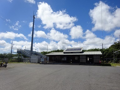
Eating my packed lunch along the way, I reached Minamihara Station again at 13:50. I had passed through and rested here on the outward journey too, leaving at 10:06.
The thought of a train ride along the Sotobo Line crosses my mind, but I decide simply to return along the Uchibo Line. Minamihara 14:23 → Tateyama → Kimitsu → Shimbashi.
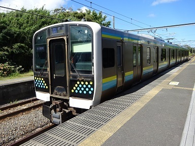
Normally this would go to Kisarazu, but ‘because of an extra train service’, or something of the sort, it terminates at Tateyama. A cross-platform transfer to a Chiba-bound train at 14:42.
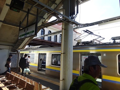
At Kimitsu, a cross-platform transfer to a Zushi-bound train at 15:39.
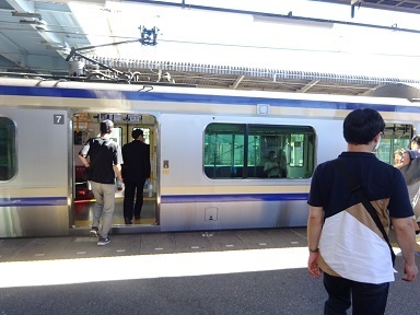
Shimbashi, 17:22.
Earlier posts
‘JA/CB-002’: JOSADA TELECOM on Mount Kanozan. https://jj1wtl.seesaa.net/article/499180322.html (English translation) ‘JS2RA / JS2RB’: subsequently also licensed for microwave. https://jj1wtl.seesaa.net/article/499204144.html (English translation) ‘JA/CB-004’: three stations on two towers inside Cosmo Classic Club; HBC Kamogawa-no-Inu station; HBC Gotenyama station on Mount Takatori. https://jj1wtl.seesaa.net/article/499505940.html (English translation) ‘Microwave routes — Toyosu and Shinonome’. https://jj1wtl.seesaa.net/article/499593521.html (English translation) ‘JA/CB-009’: HBC Tsumoriyama station. https://jj1wtl.seesaa.net/article/499916770.html (English translation) ‘Microwave routes — Mother Farm’: HBC Mother Farm station, GTT and NuVo. https://jj1wtl.seesaa.net/article/500063022.html (English translation)