JS2RA / JS2RB, continued
Original: Ryota / JJ1WTL — 505776879 · Original Japanese HTML
Published: 2024-11-25T22:15:00+09:00
English translation of the archived article text. The author’s first-person observations, uncertainty and later additions are preserved; this is not the research summary. Image contents are preserved as images, not silently incorporated into the translated prose.
Wondering whether anything suspicious was afoot, I made a preliminary scouting trip to Minamihara in Minamiboso City. No new log-periodics found.
But there were changes at the previously reported DATACOM SERVICES stations JS2RA and JS2RB in Sodegaura City, where I stopped on the way home.
Outbound
Sunday, November 24.
Tamachi 4:52 → Tokyo 5:01 / 5:21 → Kisarazu 6:42 / 6:47 → Minamihara 8:20.
Tamachi.
Tokyo.
Kisarazu.
Searching for log-periodics at Minamihara
The conclusion: no new ones had sprouted.
The plan was to search from places offering some height, though there are few around here.
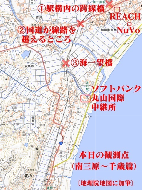
In the end I walked one station's distance to Chitose, at the bottom of the map.
First, since I was here…
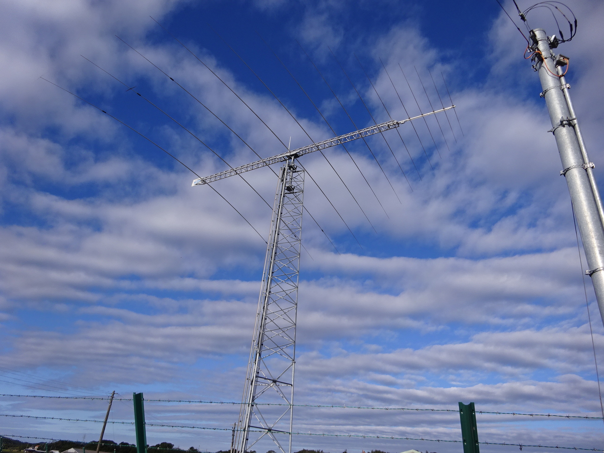
NuVo Networks: known receive site
Glad to see it doing well.
No apparent changes.
From the front; click to enlarge, 2.04 MB.
From the rear; click to enlarge, 2.08 MB.
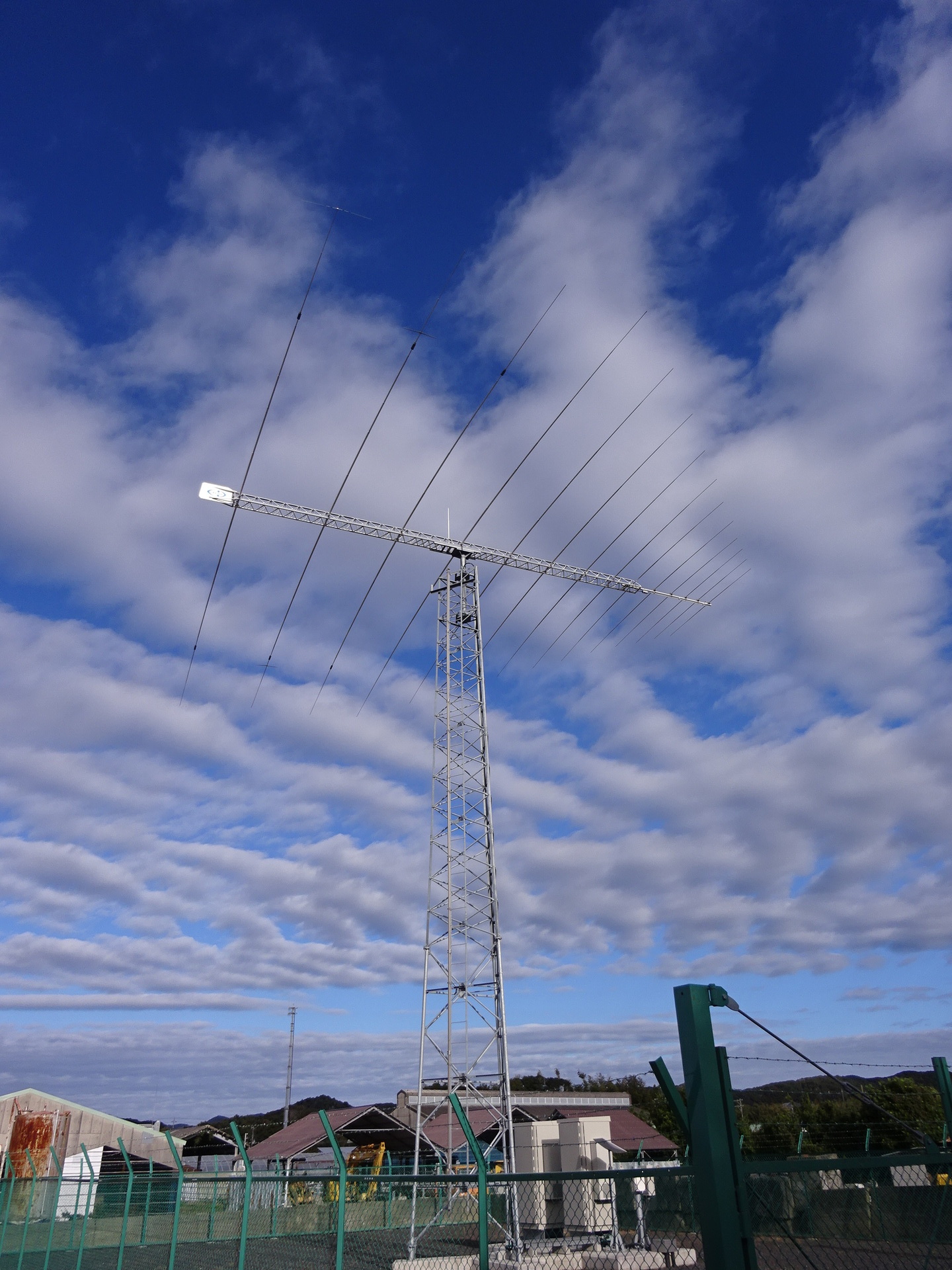
I had wondered whether a microwave link to the terminal at SoftBank Maruyama International Relay Station might have been added, but nothing.
Reach Networks Wada submarine cable landing station
I had previously missed photographing it.
From the sea side.
From the road side it is too far recessed to photograph.
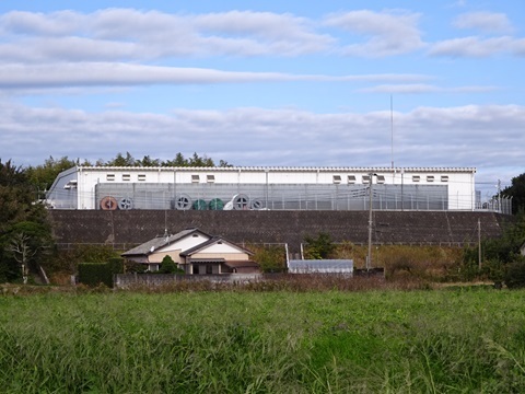
An afterglow of the dot-com bubble.
Observation point 1: Minamihara Station footbridge
Nothing in particular. No open view. Even the NuVo site above cannot be seen from here.
Observation point 2: where the national road crosses the railway
A new site?! I thought… but this is HBC's Gotenyama station.
Already known.
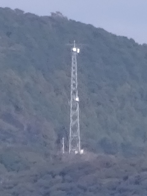
Here, in the red box at the centre rear.
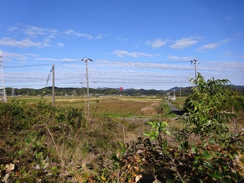
Observation point 3: Umi-Ichibo Bridge
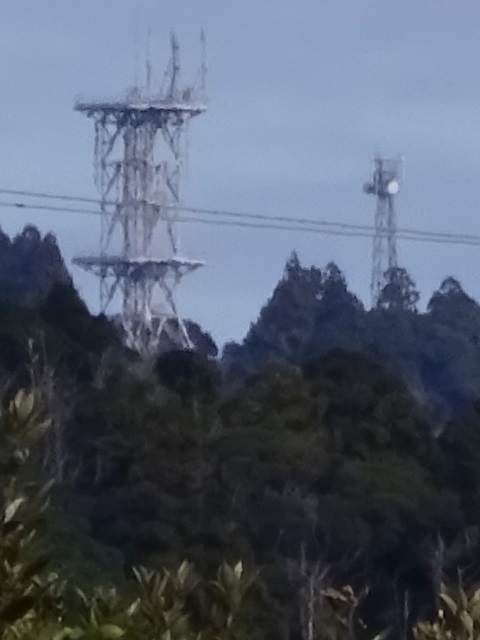
Mount Mihara is visible. NTT on the left, HBC on the right. No log-periodic.
SoftBank Maruyama International Relay Station.
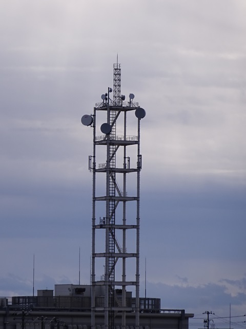
Around the top platform: an extra dish? For Further Study.
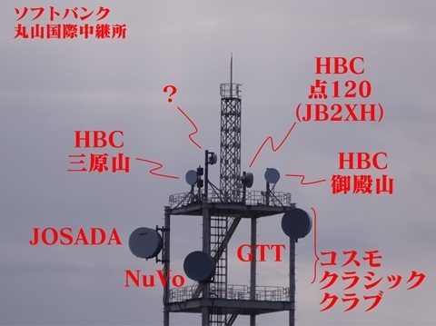
From another angle.
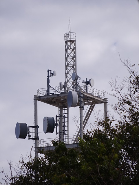
…So there were no results.
The sites mentioned, together.
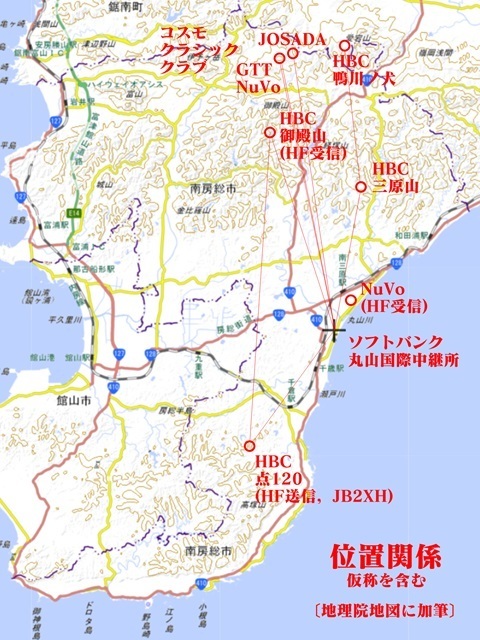
Now let's walk to Chitose Station.
SoftBank Maruyama International Relay Station, with its facility name concealed.
A sign at the solar farm on the former Chitose Elementary School site. Aren't some Asian languages missing?
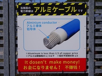
Moving to another front
There is time, so let's stop at Nagaura—DATACOM SERVICES—on the way back.
Chitose 11:25 → Kimitsu 12:48 / 12:50 → Nagaura 13:09.
Chitose. I had forgotten there is no footbridge here. Searched from the platform for log-periodics; none seen.
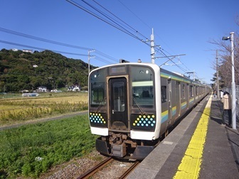
Cross-platform change at Kimitsu.
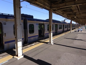
Nagaura Station. Here again, for the third time. On the second visit I came when the microwave link was licensed, but found nothing.
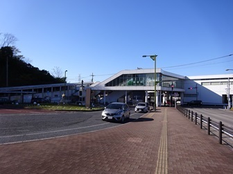
JS2RA / JS2RB
Approaching after turning right at Kubota intersection. Looking up at the hill.
Yes, no changes… or so I thought then.
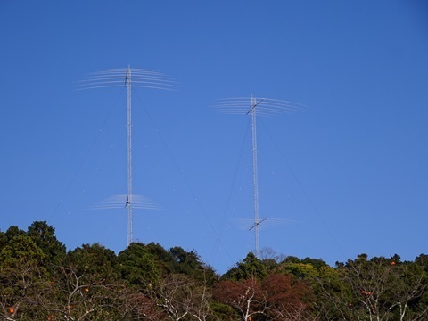
Arrived at 13:45. ?!
One Yagi and microwave links have been added! Click to enlarge, 1.92 MB.
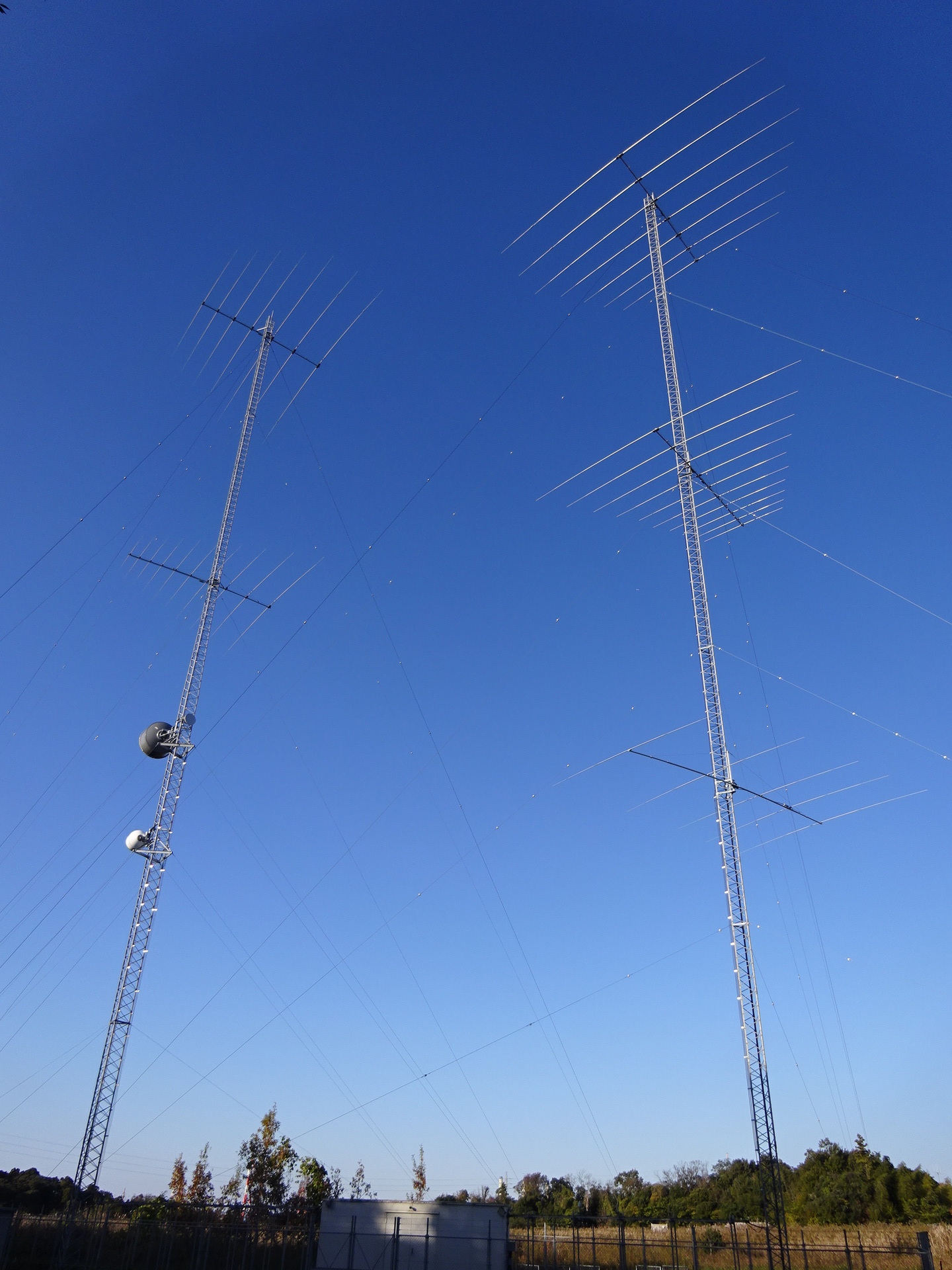
…First, calm down.
Location, now also reflected in Google Maps satellite imagery:
https://www.google.com/maps/@35.4466008,140.0196872,52m/data=!3m1!1e3
Yagi
Five elements. Click to enlarge, 1.61 MB.
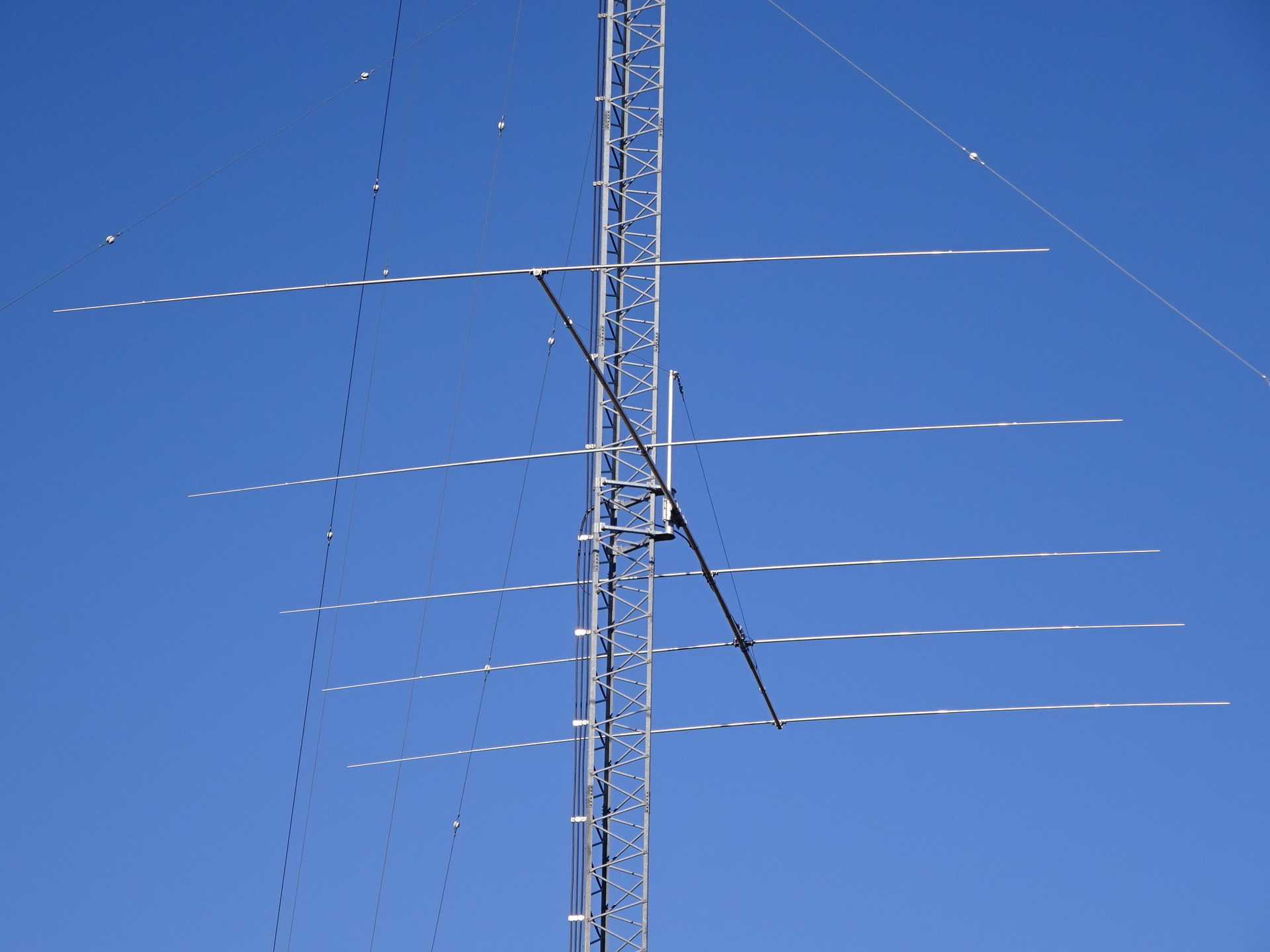
Which end is the front?
…The second element from the back of the photograph is fed. The beam faces toward the foreground: toward the Philippines.
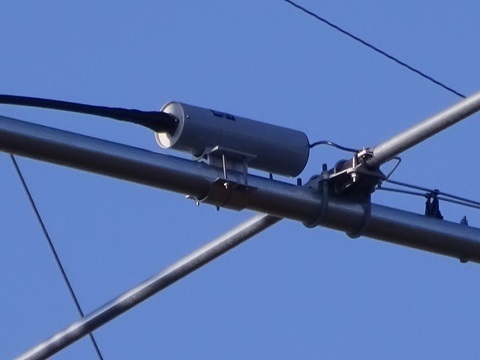
So the tower-by-tower distinction I had made between JS2RA and JS2RB is now mixed up.
Why a Yagi?
What did they want:
-
Gain?
-
Q?
…Probably the latter, compared with the log-periodic.
Professor Miki, the working-group chair, actually sets tough technical standards.
Which band?
‘Analysis of measured HF digital fixed-station data and VOACAP’:
https://www.soumu.go.jp/main_content/000862434.pdf
Page 4 gives the height:
A 59 m tower.
That would make the elements about 11 m long?
Meanwhile, these are the frequencies licensed to the experimental station.
6900 9126 10953 12159 14736 16209 kHz
6864 9081 10845 12117 14673 16119 kHz
For 12 MHz?
Microwave
The licence had already been granted.
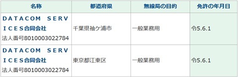
But I could not find the actual equipment. Finally seen this time.
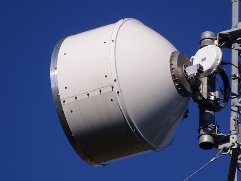
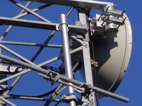
Three antennas.
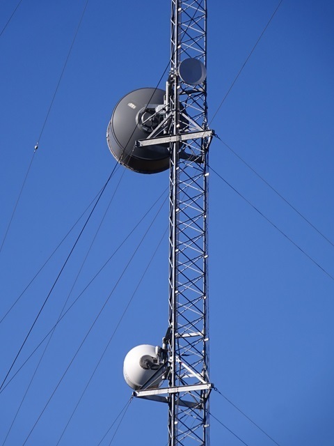
The familiar barrel-shaped type, facing northwest. I need to find its counterpart in Toyosu—probably Toyosu.
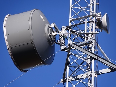
The usual ‘read the label’ operation… unsuccessful.
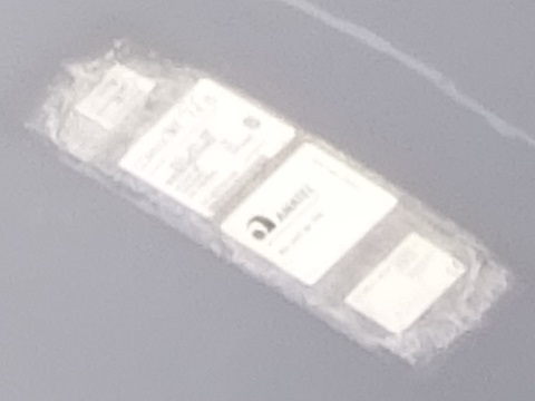
The familiar type often paired with the one above.
This one is troublesome: southeast-facing. Is there something southeast of this site?
For clarity:
-
HF digital fixed stations: these are experimental stations.
-
Microwave fixed stations: these are operational stations.
That is the distinction.
The log-periodics too, for completeness
Upper Philippines-bound array, JS2RB; click to enlarge, 1.51 MB.
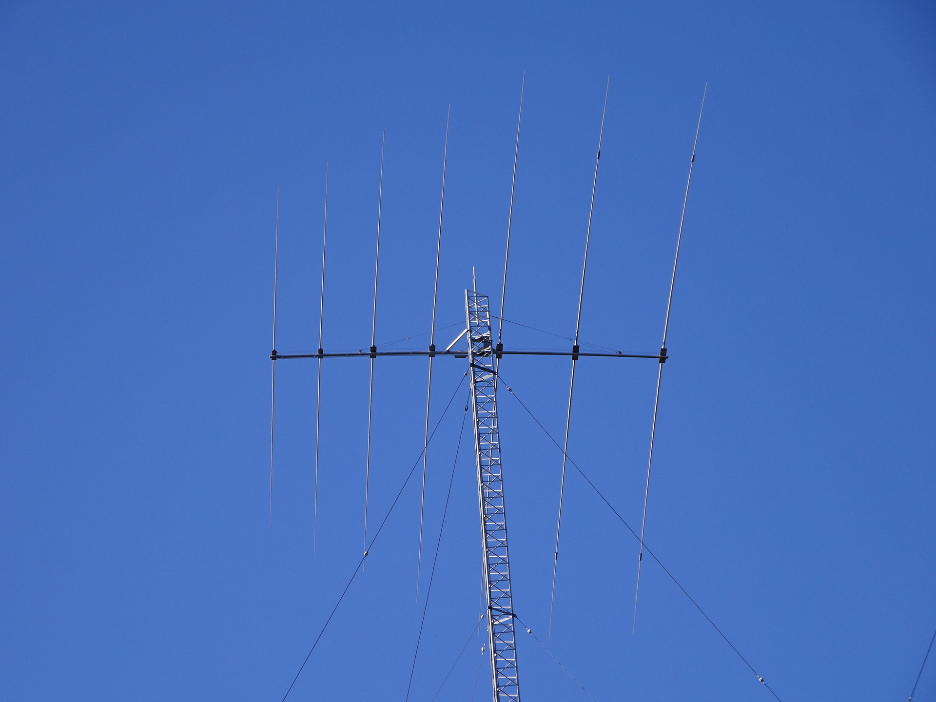
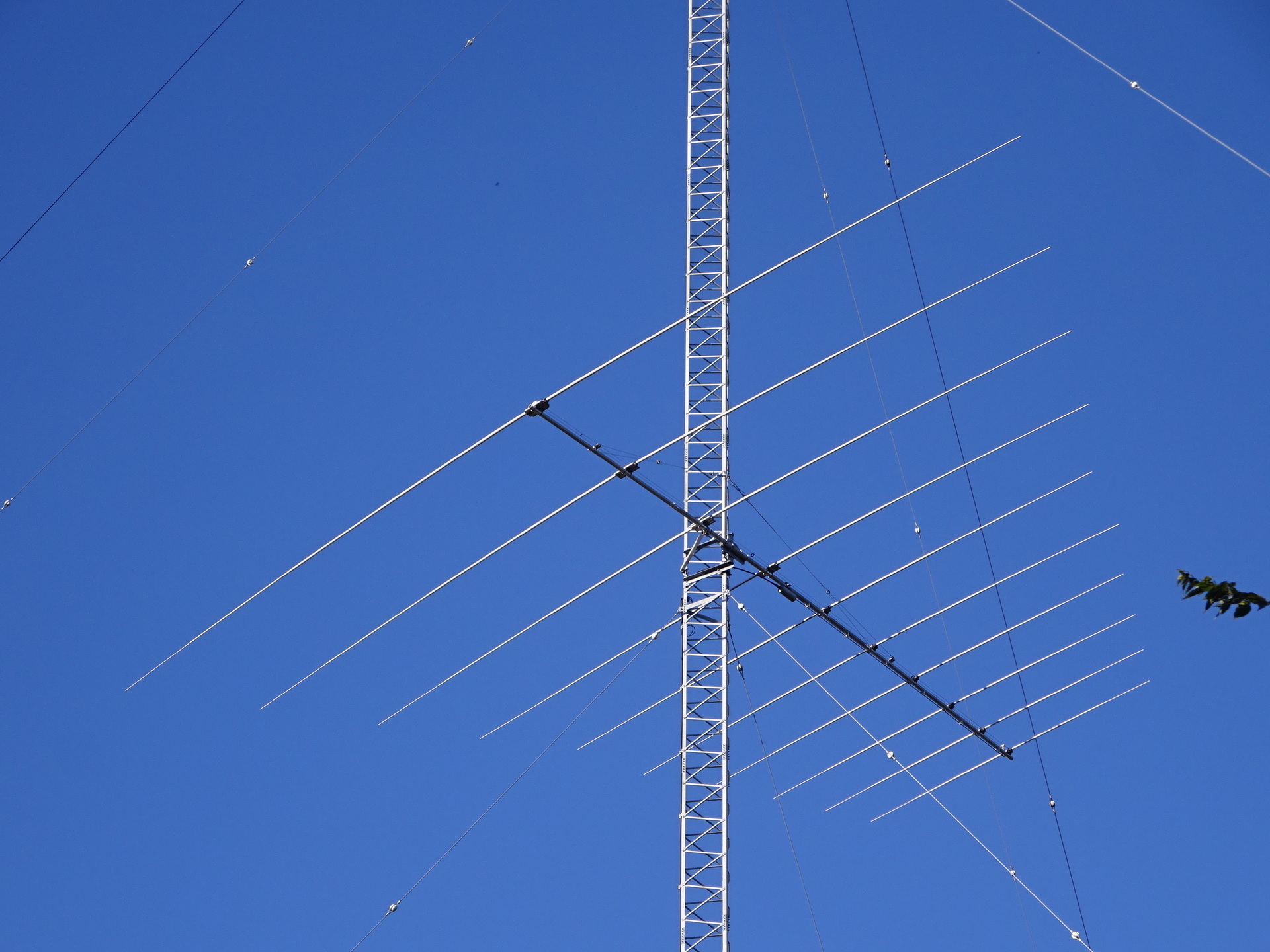
Middle Philippines-bound array, JS2RB; click to enlarge, 1.53 MB.
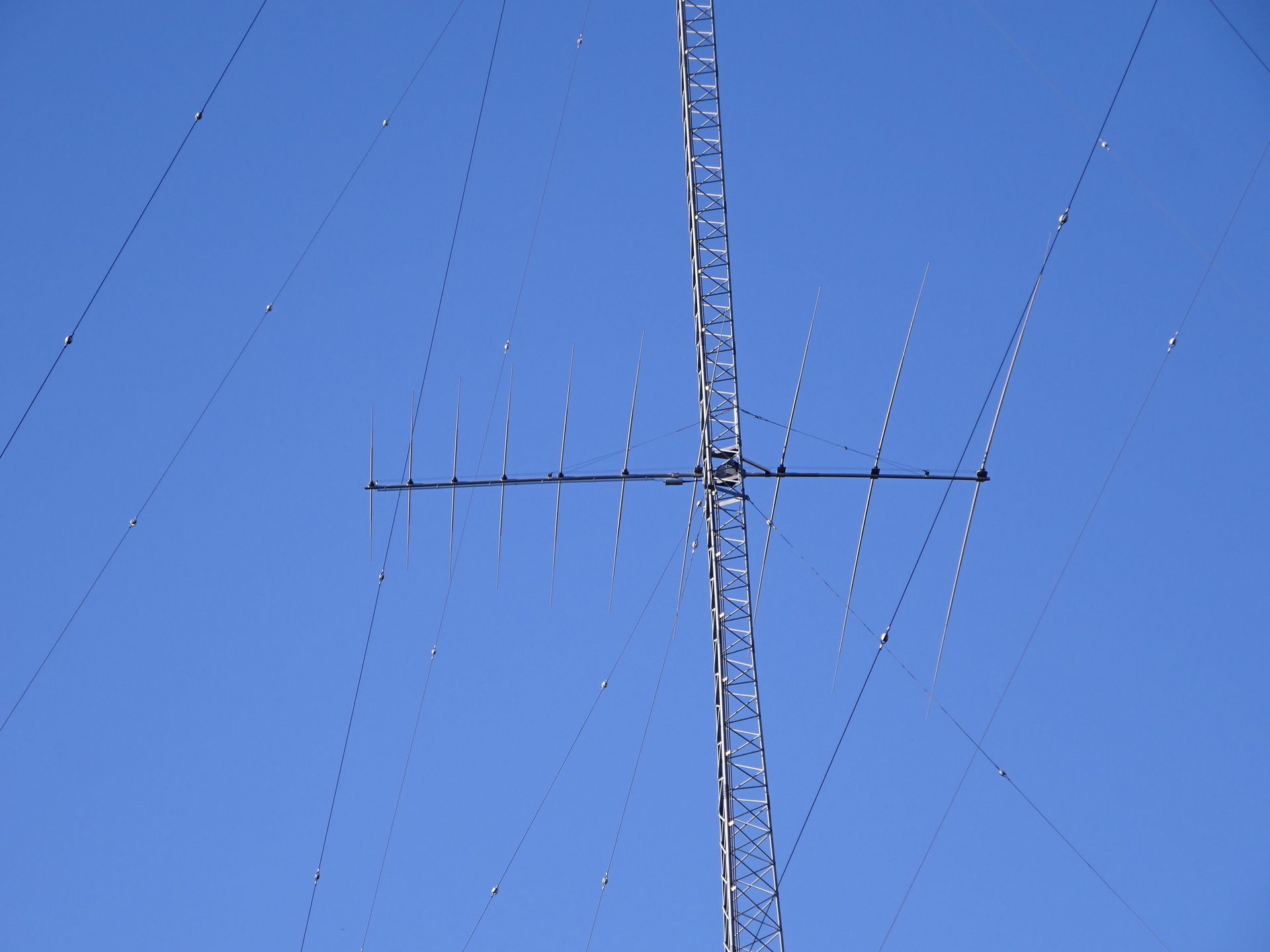
Upper Chicago-bound array, JS2RA; click to enlarge, 1.71 MB.
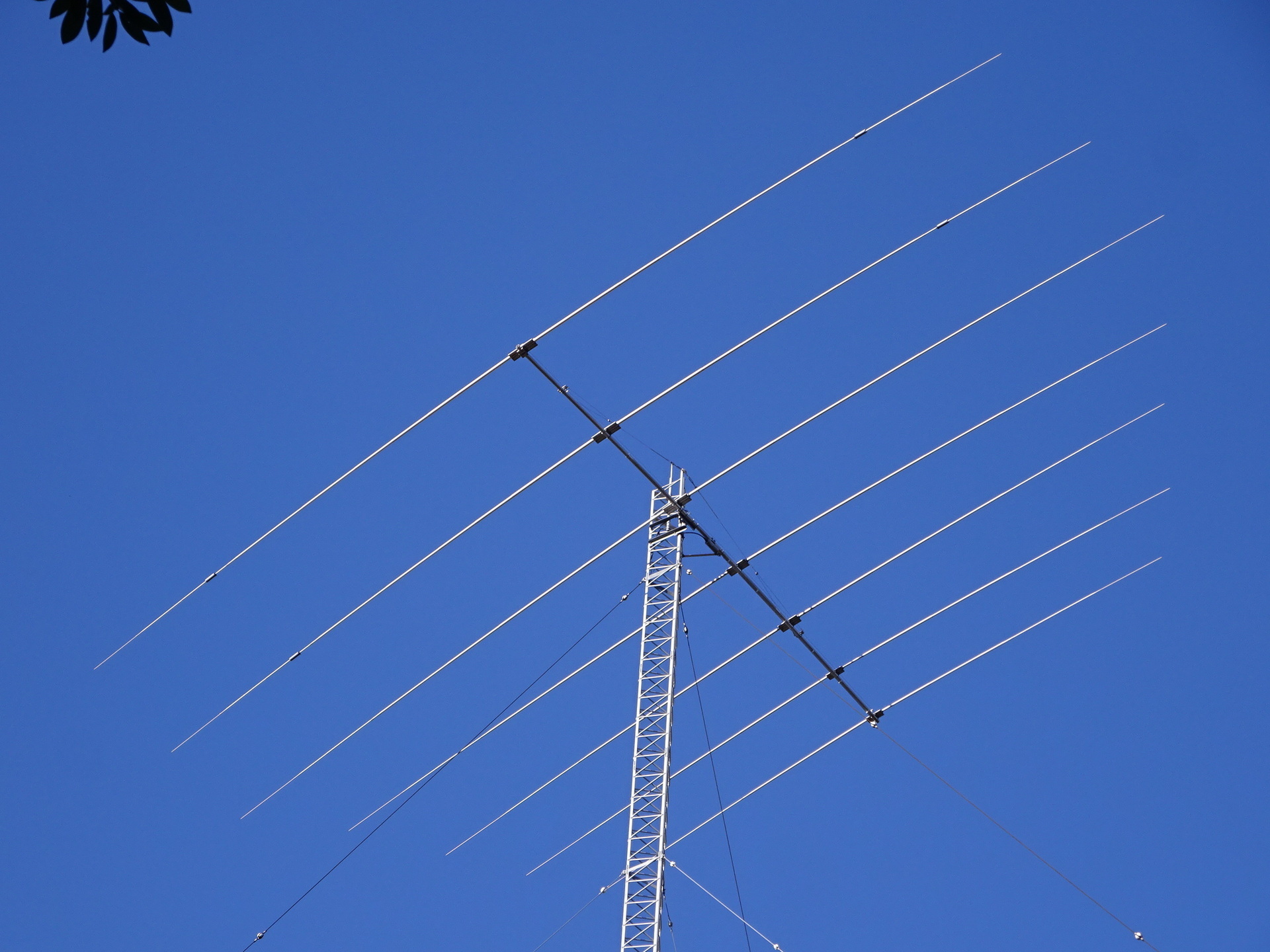
Middle Chicago-bound array, JS2RA; click to enlarge, 1.78 MB.
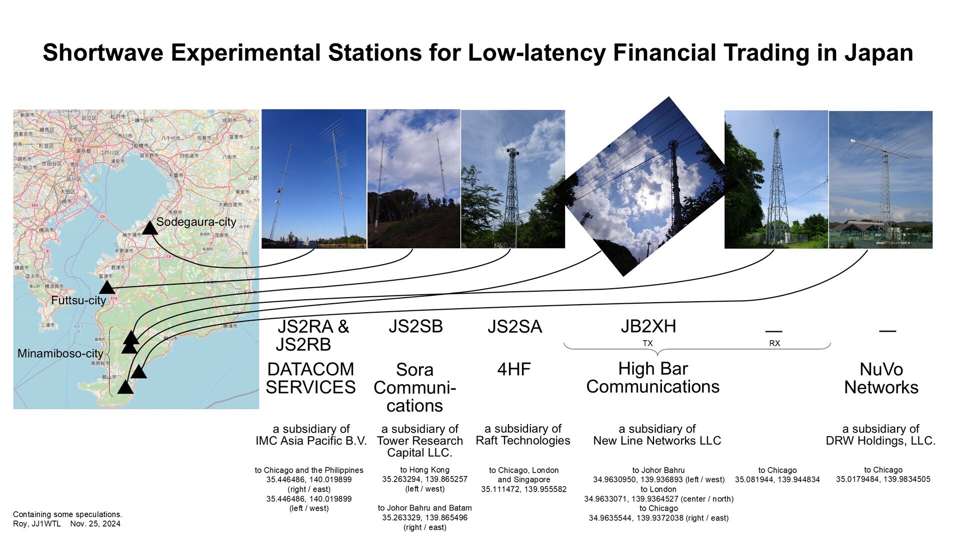
Updated overview material
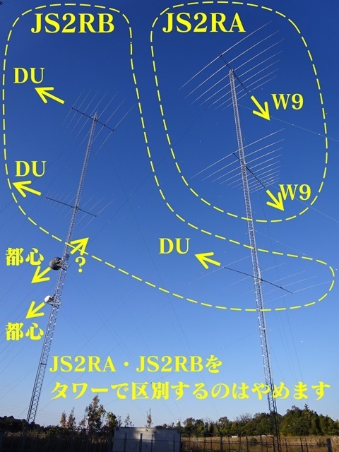
For JS2RA and JS2RB: (i) replaced the photographs; (ii) removed the restriction of each tower to a single counterpart destination.
Click to enlarge, 644 KB.
Withdrew at exactly 15:00.
Return
The sun is getting low.
Nagaura 15:57 → Shimbashi 17:16 / 17:21 → Tamachi. Home before 18:00.
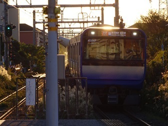
Nagaura.
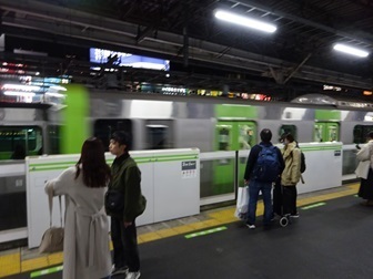
Shimbashi.
Earlier posts
‘JS2RA / JS2RB’
https://jj1wtl.seesaa.net/article/499204144.html (English translation)
‘JA/CB-004’ (4HF's JS2SA and HBC's JB2XH, later classified as a receive station)
https://jj1wtl.seesaa.net/article/499505940.html (English translation)
‘JS2SA / JB2XH’
https://jj1wtl.seesaa.net/article/500304565.html (English translation)
‘The new JB2XH’ (transmit station)
https://jj1wtl.seesaa.net/article/504743515.html (English translation)
‘The Minamihara log-periodic’ (NuVo Networks)
https://jj1wtl.seesaa.net/article/501355072.html (English translation)
『JS2SB』
https://jj1wtl.seesaa.net/article/505386673.html (English translation)
‘JS2SB, continued’
https://jj1wtl.seesaa.net/article/505597775.html (English translation)